 Block
Philby, Iowa
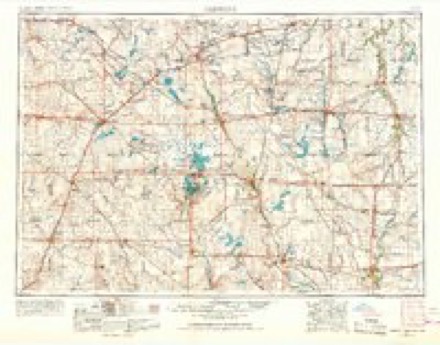
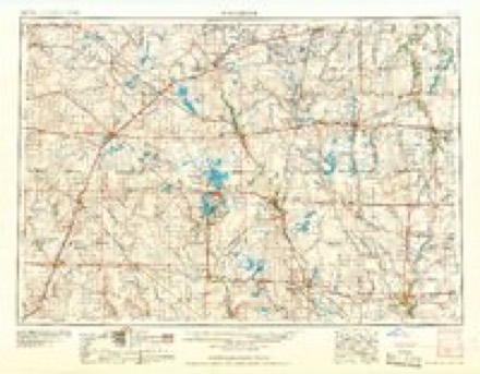
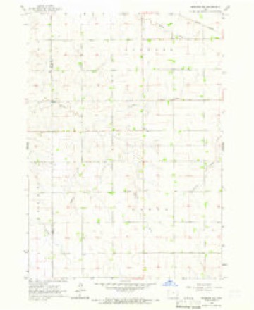
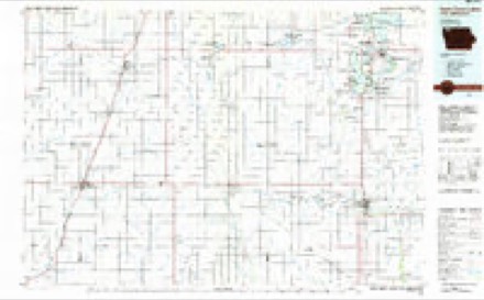
7 topographic sheets cover this place, the earliest surveyed in 1954 and the latest in 1985. It stands in Baker Township. It lies in ZIP code area 51238. The Survey maps it on the Sheldon SE quadrangle.
Topographic sheets covering this place
4 surveys from 7 printed sheetsMatched by testing this settlement's coordinate against the published boundary of every sheet in the United States Geological Survey's historical collection. Each opens the scanned sheet at the Survey.
- 1954 USGS Fairmont quadrangle1:250000, 3 printings
- 1958 USGS Fairmont quadrangle1:250000
- 1964 USGS Sheldon SE quadrangle1:24000
- 1985 USGS Iowa Great Lakes quadrangle1:100000, 2 printings
Mines and quarries near this place
1 within 5 milesRegional context, not property-specific evidence. The federal mineral resources record lists 1 working within 5 miles of Philby: 1 past producer. None of them still produces. What was taken out: Sand and Gravel, Construction. Distance is straight-line from the map coordinates, so a quarry counted here may appear on a neighbouring settlement's page as well.
| Where | Site | Commodity | Status | Recorded |
|---|---|---|---|---|
| Merley | Sand and Gravel, Construction | Past Producer |
Storms near this place
9 since 2008Regional context, not property-specific evidence. The National Weather Service names Philby in 9 storm reports between 2008 and 2025: 3 flood, 2 thunderstorm wind, 2 flash flood, 1 tornado. No death or injury is recorded in these reports. Each account below is quoted exactly as the forecast office filed it, from the NOAA Storm Events Database, and each date opens the federal record of that event.
| When | Event | Place named | Harm | What the report says |
|---|---|---|---|---|
| July 2025 | Flash Flood | Philby | - | Runoff from heavy rainfall estimated from 3 to 5 inches in less than two hours resulted in flash flooding of Roetzel Creek. Sections of 390th and 400th Streets and Monroe Avenue with inundated with rapidly running water. |
| June 2018 | Flood | Philby | - | A week of periodic heavy rainfall ending June 26 resulted in a widespread 4 to 8 inches of rainfall, much of which occurred on June 20 and 24. Weekly rainfall totaled 9.11 inches near Sioux Center, 7.36 inches at Sheldon, 7.31 inches at Sibley, 6.13 inches at Sanborn and 5.50 inches at Orange City. Record flooding occurred with significant amounts of crop and pasture land inundated. Water covered all lanes of state highway 60 as the Floyd River at Alton (gage site ALTI4) crested 8.6 feet above flood stage on June 21. The river fell briefly below flood stage on June 24, but then rose again to a moderate flood crest at 5.8 feet above flood stage on June 26. The river dropped below flood stage on June 28. |
| September 2018 | Flood | Philby | - | Widespread rainfall from September 18-20 totaled generally 5 to 10 inches, resulting in record flooding. State Highway 60 and 480th Street were closed due to high water, with the entire flood plain and numerous county roads inundated with flood water. The Floyd River at Alton (gage site ALTI4) crested at a record 10.0 feet above flood stage on September 20. |
| June 2014 | Flood | Philby | - | Persistent moderate to heavy rain caused flooding of some fields and other lowlands, including several roads. This flooding lasted well into the daytime hours after the rain subsided. |
| May 2012 | Thunderstorm Wind | Philby | - | Thunderstorm winds caused tree damage, including several branches blown down. |
| July 2012 | Hail | Philby | - | Large hail caused an unknown amount of damage to vehicles and crops. |
| June 2010 | Tornado (EF0) | Philby | - | A tornado caused no reported damage. |
| July 2010 | Flash Flood | Philby | - | Heavy rain caused flash flooding of several roads. |
| May 2008 | Thunderstorm Wind | Philby | - | Thunderstorm winds caused tree damage, including 2 inch diameter branches blown down. |
Nearest settlements
The eight closest, with where each one stands in the county. Distances are straight-line, computed from the Geographic Names Information System coordinates.
| Map | Place | Distance | Sheets |
|---|---|---|---|
| Archer | 4.3 miles | 7 | |
| Evander (historical) | 7.8 miles | 7 | |
| Germantown | 8.1 miles | 9 | |
| Sheldon | 8.2 miles | 7 | |
| Paullina | 8.7 miles | 9 | |
| Primghar | 9.3 miles | 7 | |
| Mapleside | 10.5 miles | 7 | |
| Sanborn | 10.9 miles | 7 |
Elsewhere
Matched on this settlement's Geographic Names Information System number rather than its name, so it cannot be a different place of the same name in another state.
| Wikidata item Q122589065 | The structured record the population and elevation above come from. Public domain (CC0). |
Provenance
This settlement is recorded in the Geographic Names Information System as feature 464698. The sheet list is computed by point-in-boundary test against the United States Geological Survey's historical topographic inventory. Both are works of the United States government and carry no copyright under 17 U.S.C. 105.
Mines and quarries. USGS Mineral Resources Data System (MRDS) https://mrdata.usgs.gov/mrds/ A work of the United States government, no copyright under 17 U.S.C. 105.
Storms. NOAA National Centers for Environmental Information, Storm Events Database https://www.ncei.noaa.gov/stormevents/ A work of the United States government, no copyright under 17 U.S.C. 105. Narratives are quoted verbatim from the National Weather Service report and are not edited or summarised.