 Block
Lucile, Idaho
10 topographic sheets cover this place, the earliest surveyed in 1955 and the latest in 1995. It stands in the Riggins census division. It lies in ZIP code area 83542. It lies near Sheep Gulch. The Survey maps it on the Lucile quadrangle. It stands 1,650 feet above sea level.
On record in Lucile
Buildings and businesses the archive holds for this place. Each opens its own page, with the source record it came from.
On the National Register 1 record
- Jurden Henry Elfers Barn and Fieldlisted 2007
Topographic sheets covering this place
5 surveys from 10 printed sheetsMatched by testing this settlement's coordinate against the published boundary of every sheet in the United States Geological Survey's historical collection. Each opens the scanned sheet at the Survey.
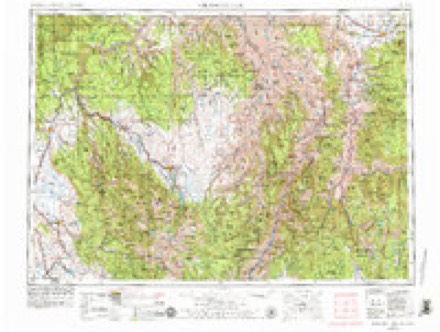
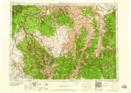
- 1955 USGS Grangeville quadrangle1:250000, 4 printings
- 1959 USGS Grangeville quadrangle1:250000, 2 printings
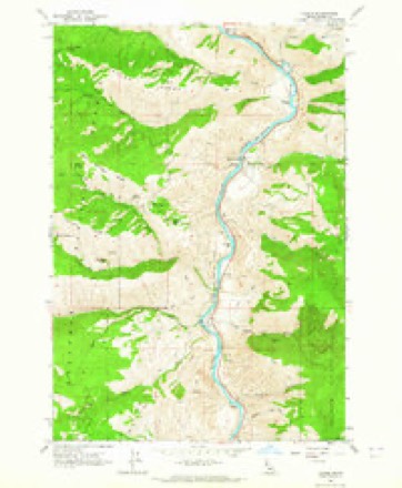
- 1963 USGS Lucile quadrangle1:24000, 2 printings
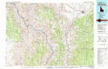
- 1980 USGS Grangeville quadrangle1:100000
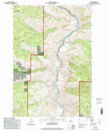
- 1995 USGS Lucile quadrangle1:24000
Fires near this place
92 since 1992Regional context, not property-specific evidence. The federal wildfire occurrence database lists 92 fires within 5 miles of Lucile between 1992 and 2020, burning about 49,686 acres in total. 59 started naturally. None was recorded as arson. Distance is straight-line from the map coordinates, so a fire counted here may appear on a neighbouring settlement's page as well.
| Reported cause | Fires |
|---|---|
| Natural | 59 |
| Missing data/not specified/undetermined | 12 |
| Equipment and vehicle use | 9 |
| Recreation and ceremony | 3 |
| Power generation/transmission/distribution | 3 |
| Fireworks | 2 |
| Debris and open burning | 2 |
| Smoking | 1 |
| Other causes | 1 |
The most recent of them, most recent first, with the day each was reported and the service that recorded it.
| Date | Cause | Size | Reported by | Name on the report |
|---|---|---|---|---|
| 8 September 1998 | Natural | under an acre | Nez Perce - Clearwater National Forests | NAMELESS POINT |
| 6 September 2019 | Natural | 30 acres | Nez Perce - Clearwater National Forests | SHERWIN BAR |
| 6 September 2012 | Missing data/not specified/undetermined | 48,626 acres | Nez Perce - Clearwater National Forests | SHEEP |
| 5 September 1993 | Missing data/not specified/undetermined | 4.0 acres | Nez Perce - Clearwater National Forests | not named |
| 4 September 1997 | Natural | under an acre | Nez Perce - Clearwater National Forests | WET GULCH |
| 4 September 1994 | Natural | under an acre | Nez Perce - Clearwater National Forests | not named |
| 29 September 1994 | Debris and open burning | under an acre | Nez Perce - Clearwater National Forests | not named |
| 17 September 2001 | Natural | under an acre | Nez Perce - Clearwater National Forests | JOHN DAY |
Settlements close enough to share some of these fires:
Mines and quarries near this place
10 of 23 shownRegional context, not property-specific evidence. The federal mineral resources record lists 23 workings within 5 miles of Lucile: 14 past producers, 5 unknowns, 2 occurrences, 2 prospects. None of them still produces. What was taken out: Gold, Silver, Copper, Stone, Dimension. Distance is straight-line from the map coordinates, so a quarry counted here may appear on a neighbouring settlement's page as well.
| Where | Site | Commodity | Status | Recorded |
|---|---|---|---|---|
| Bateman Prospect | Copper, Zinc | Occurrence | Chalcopyrite, Sphalerite | |
| Gravel Pit 110 | Sand and Gravel, Construction | Past Producer | ||
| Lucile Bar Placer | Gold, Platinum | Past Producer | 1862 | |
| Old Timer | Iron | Prospect | ||
| Unnamed Mine | Lead, Copper | Unknown | ||
| Wagner Prospect | Mica | Occurrence | ||
| Bucher Bar Mine | Stone, Dimension | Unknown | ||
| Eagle Consolidated Mine | Stone, Dimension | Unknown | ||
| The Argonaut | Stone, Dimension | Unknown | ||
| Unnamed Mine | Copper | Unknown |
Storms near this place
4 since 2019Regional context, not property-specific evidence. The National Weather Service names Lucile in 4 storm reports between 2019 and 2025: 2 flash flood, 1 hail, 1 thunderstorm wind. No death or injury is recorded in these reports. Each account below is quoted exactly as the forecast office filed it, from the NOAA Storm Events Database, and each date opens the federal record of that event.
| When | Event | Place named | Harm | What the report says |
|---|---|---|---|---|
| July 2024 | Thunderstorm Wind | Lucile | $450,000 | Hurricane force winds caused hundreds of trees, of all types, and diameters up to 2 feet wide, to be either uprooted or snapped in half along the track of the derecho from between Grangeville and Pollock, east and north towards Lolo Pass. Much of the Lochsa Corridor east of Kooskia sustained massive wind damage, and blocked access to many main and side roads. Multiple people were trapped for hours until people came to cut up the trees with chainsaws. Around 58 trees had to be cut along Forest Service road 221 southeast of Grangeville. A large willow tree fell on a house in Pollock and totaled it. A woman was injured from falling trees near Moose Creek where trees snapped off 20 feet above the ground and some damaged the ranger station there. Multiple vehicles, campers and infrastructure were either damaged or totaled at the Powell, Wendover, and Whitehouse campgrounds. The forest service estimates that 1 out of every 6 leave trees were uprooted in portions of their forest. Other impacts include: widespread power outages that lasted for days, multiple power poles damaged, at least 69 lightning-caused wildfires, 911 call center was inundated with 100s of calls, a motorcyclist was run off the road on U.S. Highway 12, and rock slides between mileposts 128 and 133 on U.S. 12. One of the lightning strikes triggered the Wye fire which turned into a large, 11,000 acre Moose Creek Complex. The emergency manager of Idaho County mentioned that some areas saw some of the worst damage they had ever experienced. |
| August 2019 | Hail | Lucile | $150,000 | Mostly egg-sized hail with up to baseballs fell between Slate Creek and Riggins, Idaho and damaged greenhouse roofs, fences, pump house tanks, PVC pipelines, windshields, vehicles and orchards. |
| July 2025 | Flash Flood | Lucile | $25,000 | A very heavy downpour on Fiddle Creek, dropped approximately 0.75 inches of rain in one hour. The heavy rainfall triggered a substantial mud and debris flow that closed the highway near milepost 201 for nearly two days. Despite the intensity of the storm, no lightning occurred an unusual feature for the region. No vehicles were trapped. |
| August 2019 | Flash Flood | Lucile | $10,000 | A severe thunderstorm put down an inch and a half of rain in 30 minutes over the canyons near Lucile. This caused large debris flows in Fiddle Creek, Sheep Creek and Chair Creek that covered US-95 with up to a 4 feet deep of mud. More than a dozen vehicles became stuck in the mud. The highway was closed until the next day when one lane was opened up. The highway opened up totally by Monday, three days later. The flooding also damaged Cow Creek Road and John Day Road. |
Nearest settlements
The eight closest, with where each one stands in the county. Distances are straight-line, computed from the Geographic Names Information System coordinates.
| Map | Place | Distance | Sheets |
|---|---|---|---|
| Slate Creek | 7.3 miles | 11 | |
| Riggins | 7.8 miles | 13 | |
| Riggins Hot Springs | 11.0 miles | 13 | |
| Taylor | 11.1 miles | 10 | |
| DeVeny Place | 13.1 miles | 15 | |
| Copperville | 15.0 miles | 10 | |
| Florence | 15.1 miles | 10 | |
| Shells Lick | 15.3 miles | 10 |
Elsewhere
Matched on this settlement's Geographic Names Information System number rather than its name, so it cannot be a different place of the same name in another state.
| Wikipedia article on Lucile | An encyclopaedic summary. Its text is share-alike, so it is linked here rather than copied. |
| Wikidata item Q6697205 | The structured record the population and elevation above come from. Public domain (CC0). |
Provenance
This settlement is recorded in the Geographic Names Information System as feature 396827. The sheet list is computed by point-in-boundary test against the United States Geological Survey's historical topographic inventory. Both are works of the United States government and carry no copyright under 17 U.S.C. 105.
Wildfire. Short, Karen C. 2022. Spatial wildfire occurrence data for the United States, 1992-2020 [FPA_FOD_20221014]. 6th Edition. Fort Collins, CO: Forest Service Research Data Archive. https://doi.org/10.2737/RDS-2013-0009.6 Collected with United States Government funding and usable without additional permissions or fees.
Mines and quarries. USGS Mineral Resources Data System (MRDS) https://mrdata.usgs.gov/mrds/ A work of the United States government, no copyright under 17 U.S.C. 105.
Storms. NOAA National Centers for Environmental Information, Storm Events Database https://www.ncei.noaa.gov/stormevents/ A work of the United States government, no copyright under 17 U.S.C. 105. Narratives are quoted verbatim from the National Weather Service report and are not edited or summarised.