 Block
Alda, Illinois
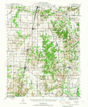
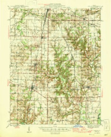
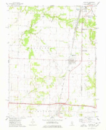
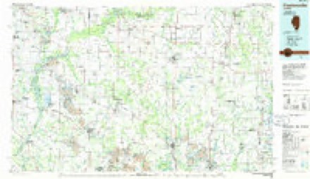
9 topographic sheets cover this place, the earliest surveyed in 1943 and the latest in 1985. It stands in Irvington Township. It lies in ZIP code area 62803. The Survey maps it on the Irvington quadrangle.
Topographic sheets covering this place
6 surveys from 9 printed sheetsMatched by testing this settlement's coordinate against the published boundary of every sheet in the United States Geological Survey's historical collection. Each opens the scanned sheet at the Survey.
- 1943 USGS Ashley quadrangle1:62500
- 1946 USGS Ashley quadrangle1:62500
- 1958 USGS Belleville quadrangle1:250000, 3 printings
- 1962 USGS Belleville quadrangle1:250000
- 1974 USGS Irvington quadrangle1:24000
- 1985 USGS Pinckneyville quadrangle1:100000, 2 printings


Storms near this place
1 since 2013Regional context, not property-specific evidence. The National Weather Service names Alda in 1 storm report in 2013: 1 tornado. No death or injury is recorded in these reports. Each account below is quoted exactly as the forecast office filed it, from the NOAA Storm Events Database, and each date opens the federal record of that event.
| When | Event | Place named | Harm | What the report says |
|---|---|---|---|---|
| November 2013 | Tornado (EF1) | Alda | - | As the EF4 tornado dissipated, another tornado formed one mile to the east on Sycamore Road just west of intersection with Peach Tree Road. At this location, a barn had several of its walls collapsed on the south side of Sycamore Road. The tornado then travelled to the northeast. It crossed Peach Tree Road and destroyed a barn about four tenths of a mile north of Sycamore Road. It continued to the northeast causing sporadic tree damage. The most widespread damage occurred near the Flying M Ranch Golf Course, about 3 miles southwest of the city limits of Centralia, Illinois. In this area the tornado lifted some panels off of a barn roof on Kuhn Road and caused significant roof damage to a house on County Highway 18 just south of Klub House Lane. The damage to the house was rated EF1. Just northeast of the house, the golf course club house sustained considerable roof damage and several windows were blown out. The tornado continued to the northeast crossing from Washington County into far southeastern Clinton County, about a third of a mile west of Wilkin Road. The path length of the tornado in Washington County was 3.58 miles with a max path width of 100 yards. The damage for this segment was estimated to be EF1 with max wind speeds of 95 to 100 MPH. Overall, the entire tornado path length was 4.76 miles with a max path width of 100 yards and a maximum damage rating of EF1. |
Nearest settlements
The eight closest, with where each one stands in the county. Distances are straight-line, computed from the Geographic Names Information System coordinates.
Provenance
This settlement is recorded in the Geographic Names Information System as feature 422395. The sheet list is computed by point-in-boundary test against the United States Geological Survey's historical topographic inventory. Both are works of the United States government and carry no copyright under 17 U.S.C. 105.
Storms. NOAA National Centers for Environmental Information, Storm Events Database https://www.ncei.noaa.gov/stormevents/ A work of the United States government, no copyright under 17 U.S.C. 105. Narratives are quoted verbatim from the National Weather Service report and are not edited or summarised.