 Block
Avondale, Illinois
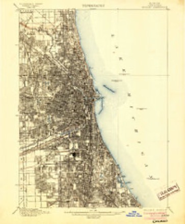
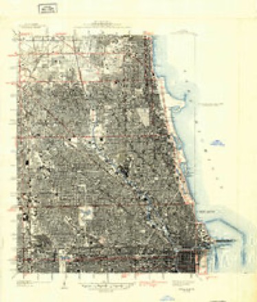
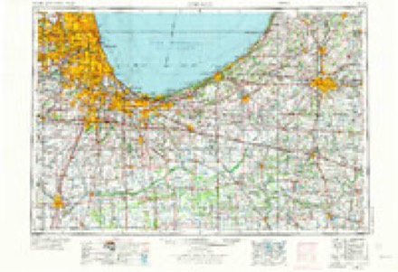
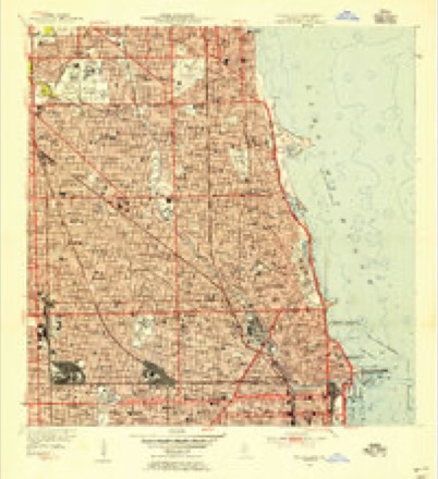
24 topographic sheets cover this place, the earliest surveyed in 1889 and the latest in 1997. It stands in Chicago City. It lies in ZIP code area 60618. The Survey maps it on the Chicago Loop quadrangle.
On record in Avondale
Buildings and businesses the archive holds for this place. Each opens its own page, with the source record it came from.
On the National Register within a mile 2 records
The National Register names another town for these. They stand within one mile of this settlement's coordinate.
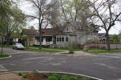 Villa Historic Districtlisted 1979 · 1.0 miles away
- Kosciuszko Park Field Houselisted 2013 · 0.8 miles away
Topographic sheets covering this place
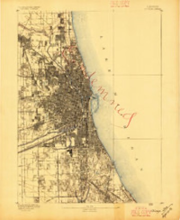
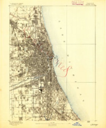
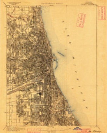
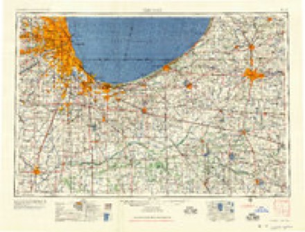
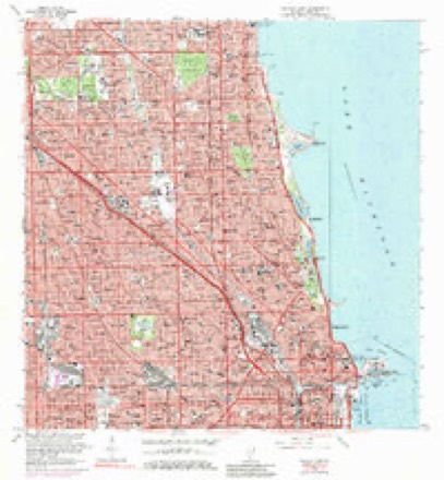
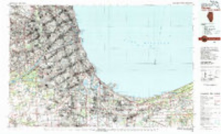
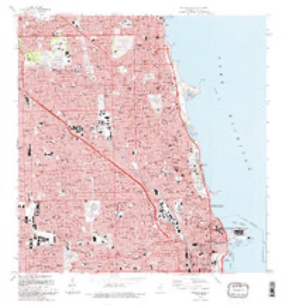
12 surveys from 24 printed sheetsMatched by testing this settlement's coordinate against the published boundary of every sheet in the United States Geological Survey's historical collection. Each opens the scanned sheet at the Survey.
- 1889 USGS Chicago quadrangle1:62500
- 1891 USGS Chicago quadrangle1:62500
- 1900 USGS Chicago quadrangle1:62500
- 1901 USGS Chicago quadrangle1:62500, 5 printings
- 1929 USGS Chicago Loop quadrangle1:24000, 2 printings
- 1953 USGS Chicago quadrangle1:250000, 5 printings
- 1953 USGS Chicago Loop quadrangle1:24000
- 1957 USGS Chicago quadrangle1:250000
- 1963 USGS Chicago Loop quadrangle1:24000, 3 printings
- 1980 USGS Chicago quadrangle1:100000
- 1993 USGS Chicago Loop quadrangle1:24000, 2 printings
- 1997 USGS Chicago Loop quadrangle1:24000
What happened here
An account from the chapter on Chicago city. The inset identifies its exact source book and publication year.
Index To Content
Chapter I. - First Settler of Chicago, 5. Various Appellations of Chicago. .Garies' River, 6. The Main River Bed Changed. .Chicago in Virginia. .Treaty of Greenville. . Original Site of Chicago. .Illinois in Indiana Territory. .Fort Dearborn Established. .First Commandants of the Fort. .Massacre of 1S12, 7. Captain John and Lieutenant Wm.
In the county-history sources
902,150 words on this townshipPolitics and Politicians of Chicago, Cook County, and Illinois : Memorial Volume, 1787-1887; a Complete Record of Municipal, County, State and National Politics from the Earliest Period to the Present Time, published 1887; ... History of Chicago, Illinois, published 1895; Historical Review of Chicago and Cook County and Selected Biography. A.N. Waterman ... Ed. and Author of Historical Review, published 1908 has no passage naming this settlement, which was common for smaller places. Its township is covered in full.
The chapter on Chicago City covers the township.
Read the chapter on Chicago City - 902,150 words.
Mines and quarries near this place
1 within 5 milesRegional context, not property-specific evidence. The federal mineral resources record lists 1 working within 5 miles of Avondale: 1 past producer. None of them still produces. What was taken out: Stone, Crushed/Broken. Distance is straight-line from the map coordinates, so a quarry counted here may appear on a neighbouring settlement's page as well.
| Where | Site | Commodity | Status | Recorded |
|---|---|---|---|---|
| Grand and Campbell Ave Quarry | Stone, Crushed/Broken | Past Producer |
Storms near this place
31 since 2008Regional context, not property-specific evidence. The National Weather Service names Avondale in 31 storm reports between 2008 and 2025: 14 thunderstorm wind, 10 hail, 4 flood, 3 flash flood. The reports record 2 injuries. Each account below is quoted exactly as the forecast office filed it, from the NOAA Storm Events Database, and each date opens the federal record of that event.
| When | Event | Place named | Harm | What the report says |
|---|---|---|---|---|
| June 2011 | Thunderstorm Wind | Avondale | 2 hurt, $10,000 | Local media reported that two people were in serious to critical condition after their car was crushed by a falling tree near the intersection of Farragut Avenue and Leavitt Street. |
| May 2019 | Thunderstorm Wind | Avondale | $20,000 | Numerous trees, tree limbs and power lines were blown down in a several block area southwest of Rogers Park. A light pole was also blown over. Several streets were completed blocked by the downed trees. Three vehicles were damaged by falling trees. One was a van which was crushed. |
| July 2025 | Thunderstorm Wind | Avondale | - | Trees and tree limbs were blown down in Bricktown. |
| July 2024 | Thunderstorm Wind | Avondale | - | A private weather station measured a wind gust to 58 mph. |
| August 2022 | Thunderstorm Wind | Avondale | - | Multiple trees were blown down in Avondale. One tree fell onto a house, damaging the roof. Another tree fell onto power lines. A tree 3 to 4 feet in diameter was snapped at its base and fell onto several cars. |
| July 2021 | Thunderstorm Wind | Avondale | - | A large tree limb was blown down in a parking lot at the WGN Studios. |
| July 2021 | Thunderstorm Wind | Avondale | - | Multiple reports of minor tree damage were received. |
| June 2021 | Flash Flood | Avondale | - | Photos shared on social media showed Belmont Avenue flooded with several inches of water. |
| May 2020 | Flood | Avondale | - | Multiple reports of street flooding were received from the Edgewater neighborhood of Chicago. |
| May 2020 | Flash Flood | Avondale | - | Lake Shore Drive was flooded in numerous locations including underpasses. |
| August 2020 | Thunderstorm Wind | Avondale | - | About 50 trees were knocked down or damaged along Logan Boulevard in the Logan Square neighborhood in Chicago. Tree limbs and power lines were also blown down. |
| June 2019 | Flood | Avondale | - | Flood waters over one foot deep covered low spots of Lake Shore Drive between Irving Park Road and Lawrence Avenue. |
| September 2018 | Thunderstorm Wind | Avondale | - | One large tree and one large tree limb were blown down near Clark and Montrose. |
| September 2018 | Thunderstorm Wind | Avondale | - | Two large tree limbs were blown down in the Uptown neighborhood. |
| May 2018 | Flood | Avondale | - | A viaduct was flooded with 1.5 feet of water at Irving Park Road and Ravenswood Avenue. |
| July 2016 | Hail | Avondale | - | Hail near Buena Park. |
| June 2014 | Flood | Avondale | - | The intersection at Argyle Street and Albany Avenue was flooded with six inches of water. |
| August 2013 | Hail | Avondale | - | Penny size hail was reported near the intersection of Sheridan Road and Hollywood Avenue. |
| May 2012 | Hail | Avondale | - | Up to quarter size hail was reported from the intersection of Wilson Avenue and Broadway Street south to Wrigleyville. |
| June 2011 | Hail | Avondale | - | Nickel size hail was reported near Irving Park Road and Lake Shore Drive. |
| June 2011 | Hail | Avondale | - | Quarter size hail was reported in Ravenswood. |
| February 2009 | Flash Flood | Avondale | - | Bryn Mawr Avenue exit from Lake Shore Drive was flooded and closed. |
| June 2009 | Thunderstorm Wind | Avondale | - | A wind gust to 72 mph was measured near Devon and Western. Tree damage was reported along Devon near Oakley Avenue and Clairmont Avenue. |
| June 2009 | Hail | Avondale | - | Quarter to half dollar size hail was reported near Loyola University. |
| June 2009 | Thunderstorm Wind | Avondale | - | A tree was blown down, blocking two lanes of traffic on Lake Shore Drive, just north of Lawrence Avenue. |
| June 2009 | Thunderstorm Wind | Avondale | - | A tree was uprooted near Lakeshore Drive and Bryn Mawr Avenue. |
| June 2009 | Hail | Avondale | - | Quarter size hail was reported in Rogers Park. |
| June 2008 | Hail | Avondale | - | Nickel size hail was reported in the Rogers Park Neighborhood. |
| July 2008 | Thunderstorm Wind | Avondale | - | Trees were severely damaged near Ashland, Foster and Montrose. |
| May 2019 | Hail | Avondale | - | no account filed |
| August 2015 | Hail | Avondale | - | no account filed |
Nearest settlements
The eight closest, with where each one stands in the county. Distances are straight-line, computed from the Geographic Names Information System coordinates.
| Map | Place | Distance | Sheets |
|---|---|---|---|
| Pennock | 1.1 miles | 24 | |
| Maplewood | 1.1 miles | 24 | |
| Logan Square | 1.2 miles | 24 | |
| Hermosa | 1.4 miles | 24 | |
| Bricktown | 1.5 miles | 24 | |
| Irving Park | 1.7 miles | 24 | |
| Hamlin Park | 1.7 miles | 24 | |
| California Park | 1.8 miles | 24 |
Provenance
This settlement is recorded in the Geographic Names Information System as feature 1772770. The sheet list is computed by point-in-boundary test against the United States Geological Survey's historical topographic inventory. Both are works of the United States government and carry no copyright under 17 U.S.C. 105.
Mines and quarries. USGS Mineral Resources Data System (MRDS) https://mrdata.usgs.gov/mrds/ A work of the United States government, no copyright under 17 U.S.C. 105.
Storms. NOAA National Centers for Environmental Information, Storm Events Database https://www.ncei.noaa.gov/stormevents/ A work of the United States government, no copyright under 17 U.S.C. 105. Narratives are quoted verbatim from the National Weather Service report and are not edited or summarised.