 Block
Barr, Illinois
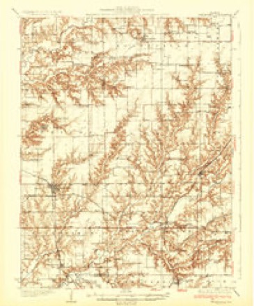
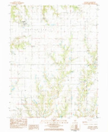
11 topographic sheets cover this place, the earliest surveyed in 1932 and the latest in 1985. It stands in Barr Township. It lies in ZIP code area 62674. The Survey maps it on the Scottville quadrangle. It stands 666 feet above sea level.
Topographic sheets covering this place
5 surveys from 11 printed sheetsMatched by testing this settlement's coordinate against the published boundary of every sheet in the United States Geological Survey's historical collection. Each opens the scanned sheet at the Survey.
- 1932 USGS Greenfield quadrangle1:62500, 3 printings
- 1948 USGS Quincy quadrangle1:250000, 2 printings
- 1956 USGS Quincy quadrangle1:250000, 3 printings
- 1983 USGS Scottville quadrangle1:24000
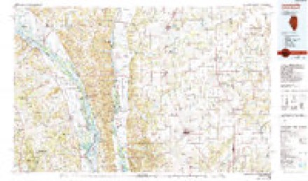
- 1985 USGS Jerseyville quadrangle1:100000, 2 printings


In the county-history sources
1,058 words on this townshipHistory of Macoupin County, Illinois : Biographical and Pictorial, published 1911 names this settlement in its chapter on Barr Township. These are the passages that mention it, exactly as the scans read.
Barr township is located in the northwest part of the county and' is bounded on the north by Scottville, on the west by Greene county, on the south by Western Mound and on the east by South Palmyra townships. Its soil is a rich clay and in the western portion along Taylor's creek is found some timber. The northern portion is mostly prairie, except in the extreme northwest corner, where it is rough and -broken. The township is afforded good drainage by Solomon's, Joe's, Taylor's and Watts' creeks and their tributaries.
Passage source: History of Macoupin County, Illinois : Biographical and Pictorial, published 1911.
John Markham settled here in the year 1830 and in 1835 was followed by Benjamin and Hugh Barr, for whom the township was named, a Mr. Kennedy, Silas Drum, and a man by the name of Wiggins. Other early settlers were James B. Steidley, Hampton Bates, John Barnett, John Parks, Adam James, William Taggert, Thomas Coddle and Michael Buchanan.
Passage source: History of Macoupin County, Illinois : Biographical and Pictorial, published 1911.
Western Mound is one of the western tier of townships and lies in town 10 north, range 9 west. It is bounded on the north by Barr township, on the west by Greene county, on the south by Chesterfield township, and on the east by Bird township.
Passage source: History of Macoupin County, Illinois : Biographical and Pictorial, published 1911.
Machine-read from a century-old scan, so expect the errors a machine makes: misspelled names, dropped words, stray characters.
Read the whole chapter on Barr Township - it names this place 1 more 1 time.
Storms near this place
2 since 2022Regional context, not property-specific evidence. The National Weather Service names Barr in 2 storm reports between 2022 and 2024: 1 hail, 1 tornado. No death or injury is recorded in these reports. Each account below is quoted exactly as the forecast office filed it, from the NOAA Storm Events Database, and each date opens the federal record of that event.
| When | Event | Place named | Harm | What the report says |
|---|---|---|---|---|
| April 2024 | Tornado (EFU) | Barr | - | After crossing into Macoupin County, the tornado continued to the northeast before dissipating near intersection of Spruce Road and McClelland Road. The tornado may have lifted and touched down multiple times. No damage indicators were found in Macoupin County, thus the tornado was rated EFU with an approximate path length of 0.63 miles. Overall, the path length was 4.31 miles. |
| April 2022 | Hail | Barr | - | no account filed |
Nearest settlements
The eight closest, with where each one stands in the county. Distances are straight-line, computed from the Geographic Names Information System coordinates.
Elsewhere
Matched on this settlement's Geographic Names Information System number rather than its name, so it cannot be a different place of the same name in another state.
| Wikipedia article on Barr | An encyclopaedic summary. Its text is share-alike, so it is linked here rather than copied. |
| Wikidata item Q4863095 | The structured record the population and elevation above come from. Public domain (CC0). |
Provenance
This settlement is recorded in the Geographic Names Information System as feature 422436. The sheet list is computed by point-in-boundary test against the United States Geological Survey's historical topographic inventory. Both are works of the United States government and carry no copyright under 17 U.S.C. 105.
Storms. NOAA National Centers for Environmental Information, Storm Events Database https://www.ncei.noaa.gov/stormevents/ A work of the United States government, no copyright under 17 U.S.C. 105. Narratives are quoted verbatim from the National Weather Service report and are not edited or summarised.