 Block
Brighton Park, Illinois
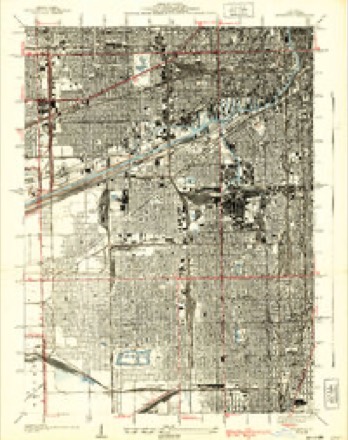
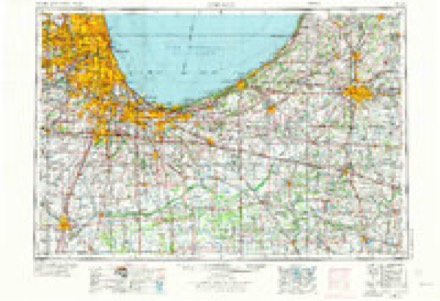
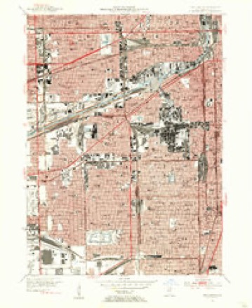
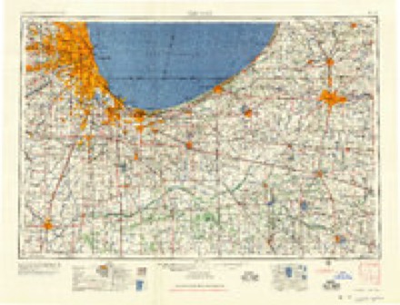
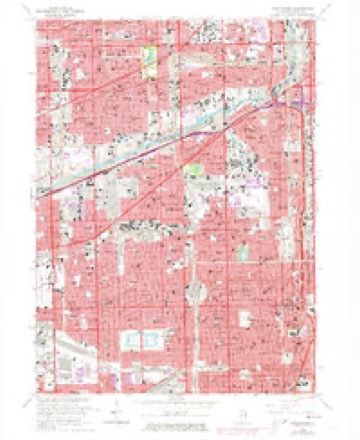
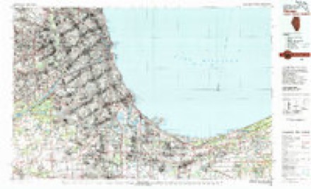
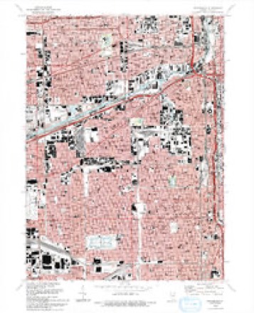
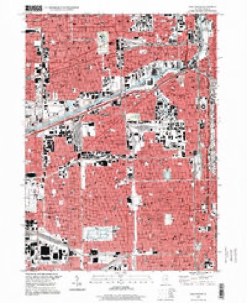
26 topographic sheets cover this place, the earliest surveyed in 1889 and the latest in 1997. It stands in Chicago City. It lies in ZIP code area 60632. The Survey maps it on the Englewood quadrangle.
Topographic sheets covering this place
12 surveys from 26 printed sheetsMatched by testing this settlement's coordinate against the published boundary of every sheet in the United States Geological Survey's historical collection. Each opens the scanned sheet at the Survey.
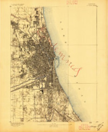
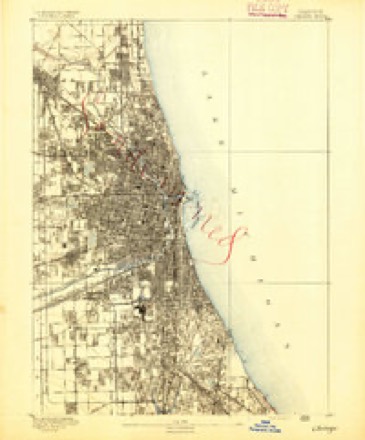
- 1889 USGS Chicago quadrangle1:62500
- 1891 USGS Chicago quadrangle1:62500
- 1900 USGS Chicago quadrangle1:62500
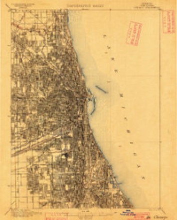
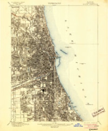
- 1901 USGS Chicago quadrangle1:62500, 5 printings
- 1929 USGS Englewood quadrangle1:24000, 3 printings
- 1953 USGS Chicago quadrangle1:250000, 5 printings
- 1953 USGS Englewood quadrangle1:24000
- 1957 USGS Chicago quadrangle1:250000
- 1963 USGS Englewood quadrangle1:24000, 4 printings
- 1980 USGS Chicago quadrangle1:100000
- 1993 USGS Englewood quadrangle1:24000, 2 printings
- 1997 USGS Englewood quadrangle1:24000
What happened here
An account from the chapter on Chicago city. The inset identifies its exact source book and publication year.
Index To Content
Chapter I. - First Settler of Chicago, 5. Various Appellations of Chicago. .Garies' River, 6. The Main River Bed Changed. .Chicago in Virginia. .Treaty of Greenville. . Original Site of Chicago. .Illinois in Indiana Territory. .Fort Dearborn Established. .First Commandants of the Fort. .Massacre of 1S12, 7. Captain John and Lieutenant Wm.
In the county-history sources
902,150 words on this townshipPolitics and Politicians of Chicago, Cook County, and Illinois : Memorial Volume, 1787-1887; a Complete Record of Municipal, County, State and National Politics from the Earliest Period to the Present Time, published 1887; ... History of Chicago, Illinois, published 1895; Historical Review of Chicago and Cook County and Selected Biography. A.N. Waterman ... Ed. and Author of Historical Review, published 1908 has no passage naming this settlement, which was common for smaller places. Its township is covered in full.
The chapter on Chicago City covers the township.
Read the chapter on Chicago City - 902,150 words.
Mines and quarries near this place
3 within 5 milesRegional context, not property-specific evidence. The federal mineral resources record lists 3 workings within 5 miles of Brighton Park: 2 past producers, 1 producer. 1 still produces. What was taken out: Stone, Crushed/Broken. Distance is straight-line from the map coordinates, so a quarry counted here may appear on a neighbouring settlement's page as well.
| Where | Site | Commodity | Status | Recorded |
|---|---|---|---|---|
| Chicago Union Lime Works Quarry | Stone, Crushed/Broken | Past Producer | ||
| Lyons Quarry | Stone, Crushed/Broken | Producer | ||
| Stearns Lime and Stone Co Quarry | Stone, Crushed/Broken | Past Producer |
Storms near this place
10 since 2010Regional context, not property-specific evidence. The National Weather Service names Brighton Park in 10 storm reports between 2010 and 2026: 6 thunderstorm wind, 3 flood, 1 hail. The reports record 1 death. Each account below is quoted exactly as the forecast office filed it, from the NOAA Storm Events Database, and each date opens the federal record of that event.
| When | Event | Place named | Harm | What the report says |
|---|---|---|---|---|
| July 2011 | Thunderstorm Wind | Brighton Park | 1 killed, $4,000 | A 72 year old man was driving on the 3000 block of West Ogden Avenue when a tree limb fell through the sunroof of his car striking the man. The man died in the hospital during the afternoon of July 12th. |
| June 2011 | Hail | Brighton Park | $750,000 | Hail as large as baseballs was reported near 26th Street and Kedzie Avenue. Hundreds of vehicles were damaged including at least 130 police cars that suffered broken windshields and smashed rooftop lights. |
| June 2010 | Thunderstorm Wind | Brighton Park | $10,000 | Trees were blown down and roofs were damaged near Kedzie Avenue and 27th Street. |
| July 2011 | Thunderstorm Wind | Brighton Park | $5,000 | A large tree limb smashed a car causing heavy damage to the rear of the car on the 3600 block of Rockwell Avenue. |
| January 2026 | Thunderstorm Wind | Brighton Park | - | Power lines were blown down at 3800 South Artesian Avenue. |
| July 2025 | Thunderstorm Wind | Brighton Park | - | Trees and tree limbs were blown down. |
| August 2021 | Flood | Brighton Park | - | Numerous reports were received of water on portions of Interstate 55 near Pulaski Road. |
| June 2021 | Thunderstorm Wind | Brighton Park | - | Large and healthy tree limbs over a foot in diameter were blown down onto house near the intersection of 35th Street and Oakley Avenue and Pershing Road and California Avenue. At least one car was damaged. Several roads were blocked. |
| June 2021 | Flood | Brighton Park | - | Flooding blocked two lanes of Interstate 55 near Pulaski Avenue. |
| October 2020 | Flood | Brighton Park | - | Flooding of the shoulder and one lane of traffic was reported on Interstate 55 near Kedzie Avenue. |
Nearest settlements
The eight closest, with where each one stands in the county. Distances are straight-line, computed from the Geographic Names Information System coordinates.
| Map | Place | Distance | Sheets |
|---|---|---|---|
| Corwith | 0.7 miles | 26 | |
| South Brighton | 0.7 miles | 26 | |
| Ducktown | 1.5 miles | 26 | |
| Archer Heights | 1.5 miles | 26 | |
| Glendale | 1.5 miles | 26 | |
| McKinley Park | 1.6 miles | 26 | |
| Gage Park | 1.7 miles | 26 | |
| Garfield Manor | 1.7 miles | 26 |
Provenance
This settlement is recorded in the Geographic Names Information System as feature 1737410. The sheet list is computed by point-in-boundary test against the United States Geological Survey's historical topographic inventory. Both are works of the United States government and carry no copyright under 17 U.S.C. 105.
Mines and quarries. USGS Mineral Resources Data System (MRDS) https://mrdata.usgs.gov/mrds/ A work of the United States government, no copyright under 17 U.S.C. 105.
Storms. NOAA National Centers for Environmental Information, Storm Events Database https://www.ncei.noaa.gov/stormevents/ A work of the United States government, no copyright under 17 U.S.C. 105. Narratives are quoted verbatim from the National Weather Service report and are not edited or summarised.