 Block
Caseyville, Illinois
21 topographic sheets cover this place, the earliest surveyed in 1888 and the latest in 1998. It stands in Caseyville Township. It lies in ZIP code area 62232. It stands on Little Canteen Creek. The Survey maps it on the Monks Mound quadrangle. 4,400 people lived here at the 2020 count. It stands 453 feet above sea level.
Population over time
2 figuresCaseyville grew from 4,245 to 4,400 between 2010 and 2020. These are the recorded population figures Wikidata holds for this place, reached through the Geographic Names Information System number this page is keyed on rather than by name, so they belong to this place and not to another of the same name. Most are census counts, but not all are: an early figure may be a founding or settlement estimate, and an estimate published within five years of a census is left out. The change column is computed, and is left blank where more than 20 years separate a figure from the one before it, because a gap that long is not a change between two counts.
| Year | People | Change |
|---|---|---|
| 2010 | 4,245 | |
| 2020 | 4,400 | +155 (+4%) |
Topographic sheets covering this place
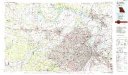
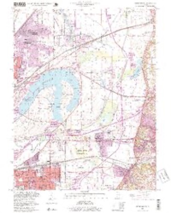
10 surveys from 21 printed sheetsMatched by testing this settlement's coordinate against the published boundary of every sheet in the United States Geological Survey's historical collection. Each opens the scanned sheet at the Survey.
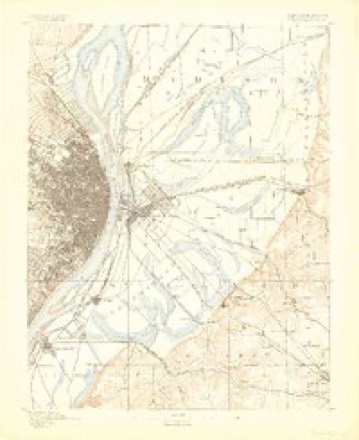
- 1888 USGS St. Louis quadrangle1:62500
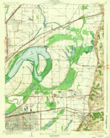
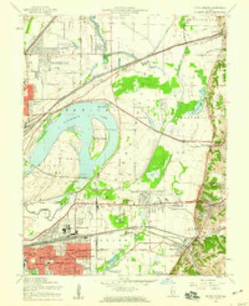
- 1935 USGS Monks Mound quadrangle1:24000, 3 printings
- 1949 USGS Saint Louis quadrangle1:250000
- 1949 USGS St. Louis quadrangle1:250000
- 1954 USGS Monks Mound quadrangle1:24000, 5 printings
- 1962 USGS St. Louis quadrangle1:250000
- 1963 USGS St. Louis quadrangle1:250000, 4 printings
- 1966 USGS St. Louis quadrangle1:250000
- 1985 USGS St Louis quadrangle1:100000, 3 printings
- 1998 USGS Monks Mound quadrangle1:24000
In the county-history sources
7,864 words on this townshipHistory of St. Clair County, Illinois. With Illustrations ... and Biographical Sketches of Some of Its Prominent Men and Pioneers, published 1881 names this settlement in its chapter on Caseyville Township. These are the passages that mention it, exactly as the scans read.
It was laid out as a village in 1849, by the Illinois Coal Company, consisting of the following named parties: Hon. Zadock Casey, Judge Walter B. Scates, Charles Harbour, Malconib Robinson, Dr. Charles Barrett and John Roy. This company began the operation of coal raining extensively about this period. The mines were then worked by drifts, instead of shafts as now, two of which they dug into the side of the bluffs at this point. Until 1851, the coal was hauled to St. Louis by ox and mule teams across the bottoms. In February, 1851, the company completed a railroad from Caseyville to Brooklyn on which they immediately placed a locomotive, and rolling stock, and large quantities of coal were daily carried into St. Louis. /
Passage source: History of St. Clair County, Illinois. With Illustrations ... and Biographical Sketches of Some of Its Prominent Men and Pioneers, published 1881.
He engaged in farming near Collinsville. On the 25th of May, 1858, he married Melinda Nicklous, a native of Tennessee. In company with his brother, he then leased one of the O'Fallon farms near Caseyville. December 20th, 1860, he lost his arm in a threshing machine. Thinking that his days for physical labor were over, he left the farm, and for two terms taught school in Madison county ; but finding there was no prospect of accumulating money in that business, he went back with his brother to the farm near Caseyville. In the fall of 1868 he built his present residence, where he has lived since that date. He has been engaged in farming and fruit growing. He has four children living : Charles R., John E., Elsie and Mary Miller.
Passage source: History of St. Clair County, Illinois. With Illustrations ... and Biographical Sketches of Some of Its Prominent Men and Pioneers, published 1881.
He at first belonged to the democratic party. His sentiments, however, were always anti-slavery, and in company with other freesoil democrats, when the republican party was organized, he became a republican. During the war of the rebellion he did all he could to aid the sanitary commission, assisted "in organizing the Union League at Caseyville, and was also an^ctive member of the Union League at Belleville. In November, 1868, he was elected a member of the state legislature, and was re-elected in 1870. The last General Assembly, of which he was a member, was the first which met after the adoption of the new constitution of tl^e state, and consequently much labor was entailed on the body. There were three regular sessions, and one called session occasioned by the Chicago fire. Mr. Miller served on the committee which visited Chicago to ascertain what measures were necessary for the restoration of the records of Chicago and Cook county. In the 26th General Assembly he was chairman of the committee on Federal relations. In the next assembly he was appointed chairman of the committee on education, at the solicitation of a number of the prominent educators of the state. His services in the legislature met with the approval of his constituents, and gained even the approbation of those who had been his political enemies. He efficiently supported the interests of St. Clair county, and early interested himself in the passage of a bill for the protection of coal miners, the bill compelling owners of mines to furnish an additional shaft for the purpose of ventilation and safety.
Passage source: History of St. Clair County, Illinois. With Illustrations ... and Biographical Sketches of Some of Its Prominent Men and Pioneers, published 1881.
Machine-read from a century-old scan, so expect the errors a machine makes: misspelled names, dropped words, stray characters.
Read the whole chapter on Caseyville Township - it names this place 13 more 13 times.
Fires near this place
43 since 2008Regional context, not property-specific evidence. The federal wildfire occurrence database lists 43 fires within 5 miles of Caseyville between 2008 and 2014, burning about 26 acres in total. None started naturally. 2 were recorded as arson. Distance is straight-line from the map coordinates, so a fire counted here may appear on a neighbouring settlement's page as well.
| Reported cause | Fires |
|---|---|
| Missing data/not specified/undetermined | 21 |
| Debris and open burning | 14 |
| Smoking | 5 |
| Arson/incendiarism | 2 |
| Power generation/transmission/distribution | 1 |
The most recent of them, most recent first, with the day each was reported and the service that recorded it.
| Date | Cause | Size | Reported by | Name on the report |
|---|---|---|---|---|
| 22 September 2008 | Missing data/not specified/undetermined | 1.0 acres | Illinois Division of Forestry Resources | SPICER |
| 19 September 2009 | Missing data/not specified/undetermined | under an acre | Illinois Division of Forestry Resources | 89TH |
| 10 September 2008 | Debris and open burning | under an acre | Illinois Division of Forestry Resources | 10 BARCLAY |
| 29 July 2008 | Missing data/not specified/undetermined | 1.0 acres | Illinois Division of Forestry Resources | WETZEL |
| 26 July 2010 | Debris and open burning | under an acre | Illinois Division of Forestry Resources | LEVEL |
| 28 June 2008 | Smoking | under an acre | Illinois Division of Forestry Resources | MCDONALDS |
| 14 June 2009 | Smoking | under an acre | Illinois Division of Forestry Resources | I64 M10 |
| 13 June 2008 | Missing data/not specified/undetermined | under an acre | Illinois Division of Forestry Resources | 81ST |
Settlements close enough to share some of these fires:
Mines and quarries near this place
10 within 5 milesRegional context, not property-specific evidence. The federal mineral resources record lists 10 workings within 5 miles of Caseyville: 4 past producers, 3 prospects, 2 occurrences, 1 plant. 1 still produces. What was taken out: Clay, Fire Clay (Refractory), Stone, Crushed/Broken, Copper. Distance is straight-line from the map coordinates, so a quarry counted here may appear on a neighbouring settlement's page as well.
| Where | Site | Commodity | Status | Recorded |
|---|---|---|---|---|
| (Facility) Cerro Copper Sauget Smelter | Copper | Plant | ||
| Collinsville Pit | Stone | Past Producer | ||
| Madison County Fireclay | Aluminum, Iron, Silica, Titanium | Prospect | ||
| Quality Stone Quarry and Mill No. 1 | Stone, Crushed/Broken | Past Producer | ||
| Southwestern Illinois Area Underc | Silica, Aluminum, Iron, Titanium | Prospect | ||
| Madison County Fireclay | Fire Clay (Refractory) | Occurrence | ||
| Southwestern Illinois Area Underclay | Fire Clay (Refractory) | Occurrence | ||
| Hill Brick Co. Shale Pit | Clay | Past Producer | ||
| Hydraulic-Press Brick Co.Clay Pit 2 | Clay | Past Producer | ||
| Little Canteen Shale Exposure | Clay | Prospect |
Storms near this place
22 since 1999Regional context, not property-specific evidence. The National Weather Service names Caseyville in 22 storm reports between 1999 and 2025: 12 thunderstorm wind, 9 hail, 1 tornado. The reports record 2 injuries. Each account below is quoted exactly as the forecast office filed it, from the NOAA Storm Events Database, and each date opens the federal record of that event.
| When | Event | Place named | Harm | What the report says |
|---|---|---|---|---|
| June 2003 | Tornado (F2) | Caseyville | 2 hurt | A tornado first caused damage along the west side of the town of Caseyville, Illinois along Forest Blvd, just east if Interstate 255. Over twelve witnesses observed the tornado along the leading edge of the bowing squall line as they saw debris tossed several hundred feet into the air. The tornado traveled east southeast along Forest Blvd and West Lincoln Avenue. Three house trailers were severely damaged by the tornado between 85th and Black Lane. Two injuries occurred in two of the three house trailers. Numerous large trees were severed or downed by the tornado. The roof of a large machine shed on Black Lane was uplifted and displaced several hundred yards to the east. The tornado then ripped through an auto salvage area where several vehicles were over-turned, damaged or destroyed. The width of this damage area was 50 to 100 yards wide while damage intensity was rated F1. The tornado continued to travel just a bit south of due east causing damage to two homes and a camper and completely destroying another mobile home. Some of the remains of the mobile home was observed 3/4 mile to the east just west of Highway 157. Pieces of metal were wrapped around snapped power poles while one 2 x 4 board was driven into the front windshield of a pickup truck. The width of this damage area varied from 50 to 75 yards while the damage intensity was rated low-end F2. The tornado continued east and showed a convergence pattern in a nearby wheat field south of West Lincoln Ave. The tornado then caused minor damage to six new homes 100 to 300 yards south of West Lincoln Ave and 1/4 to 1/2 mile west of Highway 159. Roofs from five homes were partially uplifted and tossed 200 to 400 yards downwind to the east. One home under construction was completely destroyed. The width of the damage area varied from 75 to 150 yards. The damage intensity was rated the lower end of F1. The tornado continued east up a ridge just east of Highway 157. Several large trees were snapped or uprooted just east of 157. Additional tree damage was found along Hill Road east of Highway 157. One home on Hill Road sustained minor roof damage. The tornado crossed East O'Fallon Drive and severed or uprooted several large trees. One home sustained minor roof damage while a machine shed and garage was severely damaged. The tornado damage track ended just west of Highway 159. Width of the damage area again varied from 75 to 100 yards while the damage intensity was rated at the lower end of F1. |
| August 2021 | Thunderstorm Wind | Caseyville | $15,000 | Thunderstorm winds blew a large tree onto an unoccupied car causing moderate damage. |
| March 2025 | Thunderstorm Wind | Caseyville | - | Thunderstorm winds snapped numerous branches from trees of various sizes. |
| July 2025 | Thunderstorm Wind | Caseyville | - | Thunderstorm winds downed multiple trees and wires in Caseyville and Collinsville. |
| January 2020 | Thunderstorm Wind | Caseyville | - | Several 4 to 5 inch diameter trees were blown down and some minor shingle and gutter damage to a house. |
| July 2019 | Thunderstorm Wind | Caseyville | - | Thunderstorm winds blew down numerous tree limbs around town. A couple of homes had some shingles blown off of their roofs. |
| May 2017 | Thunderstorm Wind | Caseyville | - | Thunderstorm winds blew down several large tree limbs. |
| June 2017 | Thunderstorm Wind | Caseyville | - | Thunderstorm winds blew down numerous large tree limbs around town. |
| April 2015 | Thunderstorm Wind | Caseyville | - | Thunderstorm winds blew down several power lines around town. |
| August 2000 | Thunderstorm Wind | Caseyville | - | Thunderstorm wind gusts downed several trees. |
| July 2023 | Hail | Caseyville | - | no account filed |
| April 2019 | Hail | Caseyville | - | no account filed |
| June 2019 | Hail | Caseyville | - | no account filed |
| June 2019 | Thunderstorm Wind | Caseyville | - | no account filed |
| July 2018 | Thunderstorm Wind | Caseyville | - | no account filed |
| April 2017 | Hail | Caseyville | - | no account filed |
| November 2017 | Hail | Caseyville | - | no account filed |
| July 2017 | Hail | Caseyville | - | no account filed |
| April 2015 | Hail | Caseyville | - | no account filed |
| June 2015 | Hail | Caseyville | - | no account filed |
| April 2011 | Hail | Caseyville | - | no account filed |
| July 1999 | Thunderstorm Wind | Caseyville | - | no account filed |
Nearest settlements
The eight closest, with where each one stands in the county. Distances are straight-line, computed from the Geographic Names Information System coordinates.
| Map | Place | Distance | Sheets |
|---|---|---|---|
| Sterling Place | 1.0 miles | 21 | |
| Exermont | 1.3 miles | 21 | |
| Bunkum | 1.5 miles | 21 | |
| Hollywood Heights | 1.6 miles | 16 | |
| Oak Hills | 2.4 miles | 16 | |
| French Village | 2.8 miles | 21 | |
| Hilltop | 3.4 miles | 21 | |
| Union Hill | 3.5 miles | 21 |
Elsewhere
Matched on this settlement's Geographic Names Information System number rather than its name, so it cannot be a different place of the same name in another state.
| Wikipedia article on Caseyville | An encyclopaedic summary. Its text is share-alike, so it is linked here rather than copied. |
| Wikidata item Q2223570 | The structured record the population and elevation above come from. Public domain (CC0). |
Provenance
This settlement is recorded in the Geographic Names Information System as feature 426296. The sheet list is computed by point-in-boundary test against the United States Geological Survey's historical topographic inventory. Both are works of the United States government and carry no copyright under 17 U.S.C. 105.
Wildfire. Short, Karen C. 2022. Spatial wildfire occurrence data for the United States, 1992-2020 [FPA_FOD_20221014]. 6th Edition. Fort Collins, CO: Forest Service Research Data Archive. https://doi.org/10.2737/RDS-2013-0009.6 Collected with United States Government funding and usable without additional permissions or fees.
Mines and quarries. USGS Mineral Resources Data System (MRDS) https://mrdata.usgs.gov/mrds/ A work of the United States government, no copyright under 17 U.S.C. 105.
Storms. NOAA National Centers for Environmental Information, Storm Events Database https://www.ncei.noaa.gov/stormevents/ A work of the United States government, no copyright under 17 U.S.C. 105. Narratives are quoted verbatim from the National Weather Service report and are not edited or summarised.