 Block
Columbia, Illinois
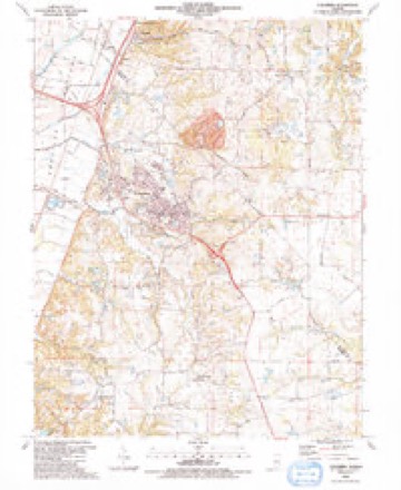
20 topographic sheets cover this place, the earliest surveyed in 1910 and the latest in 1991. It stands in Precinct 37. It lies in ZIP code area 62236. It stands on Wilson Creek. The Survey maps it on the Columbia quadrangle.
On record in Columbia
Buildings and businesses the archive holds for this place. Each opens its own page, with the source record it came from.
On the National Register 1 record
 Gundlach-Grosse Houselisted 1978
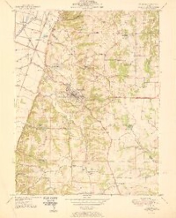
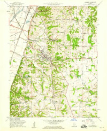
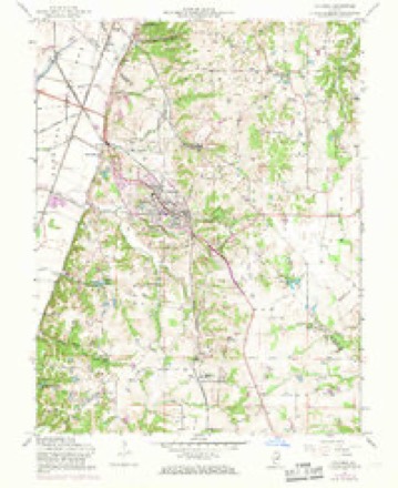
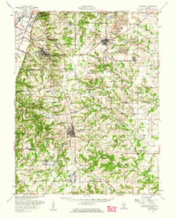
Topographic sheets covering this place
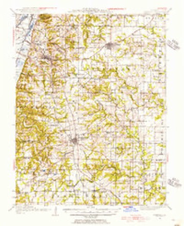
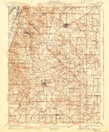
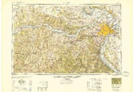
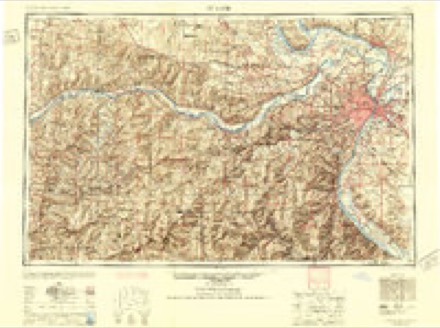
13 surveys from 20 printed sheetsMatched by testing this settlement's coordinate against the published boundary of every sheet in the United States Geological Survey's historical collection. Each opens the scanned sheet at the Survey.
- 1910 USGS Waterloo quadrangle1:62500
- 1913 USGS Waterloo quadrangle1:62500, 3 printings
- 1949 USGS Saint Louis quadrangle1:250000
- 1949 USGS St. Louis quadrangle1:250000
- 1951 USGS Columbia quadrangle1:24000
- 1954 USGS Columbia quadrangle1:24000
- 1955 USGS Columbia quadrangle1:24000, 3 printings
- 1955 USGS Waterloo quadrangle1:62500
- 1962 USGS St. Louis quadrangle1:250000
- 1963 USGS St. Louis quadrangle1:250000, 4 printings
- 1966 USGS St. Louis quadrangle1:250000
- 1985 USGS Festus quadrangle1:100000
- 1991 USGS Columbia quadrangle1:24000
Mines and quarries near this place
5 within 5 milesRegional context, not property-specific evidence. The federal mineral resources record lists 5 workings within 5 miles of Columbia: 2 occurrences, 2 past producers, 1 plant. 1 still produces. What was taken out: Stone, Crushed/Broken. Distance is straight-line from the map coordinates, so a quarry counted here may appear on a neighbouring settlement's page as well.
| Where | Site | Commodity | Status | Recorded |
|---|---|---|---|---|
| Columbia Quarry & Mill #9 | Stone, Crushed/Broken | Plant | ||
| Columbia Quarry No. 1 | Stone, Crushed/Broken | Past Producer | ||
| Columbia Quarry No. 2 | Stone, Crushed/Broken | Past Producer | ||
| Limestone Prospect | Stone, Crushed/Broken | Occurrence | ||
| Limestone Prospect | Stone, Crushed/Broken | Occurrence |
Storms near this place
47 since 1993Regional context, not property-specific evidence. The National Weather Service names Columbia in 47 storm reports between 1993 and 2026: 23 hail, 18 thunderstorm wind, 4 flash flood, 1 flood. No death or injury is recorded in these reports. Each account below is quoted exactly as the forecast office filed it, from the NOAA Storm Events Database, and each date opens the federal record of that event.
| When | Event | Place named | Harm | What the report says |
|---|---|---|---|---|
| April 2025 | Tornado (EF1) | Columbia | $15,000 | A brief and weak tornado touched down along EE Road just south of Gilmore Lake and quickly moved northeast before dissipating at the intersection of EE Road and Gilmore Lake Road at 8:13 PM. When the tornado touched down it overturned an outbuilding, and was rated at 99 mph (EF-1) at this point. Tree damage was also recorded. The tornado dissipated shortly thereafter at 8:07 PM.The tornado was rated EF-1 with a path length of 0.35 miles and a maximum path width of 100 yards. |
| May 1993 | Hail | Columbia | $5,000 | Ham radio operators and county officials reported golf ball-size hail. The hail covered the ground and was accompanied by wind gusts of 40 to 45 miles an hour. |
| May 1993 | Hail | Columbia | $5,000 | Ham radio operators and county officials reported golf ball-size hail. The hail covered the ground and was accompanied by wind gusts of 40 to 45 miles an hour. |
| May 2008 | Flash Flood | Columbia | $1,000 | Several rounds of thunderstorms produced 2 - 5 inches of rain that resulted in flash flooding. Nearly a foot of water was reported running off farm fields over several roadways, including Old Baum Church Road and Ahne Road. Ahne Road was closed until further due to a large culvert breaking through the pavement. |
| May 1995 | Thunderstorm Wind | Columbia | $125 | Several homes southeast of Columbia sustained minor roof damage. |
| March 2025 | Hail | Columbia | - | The Columbia police department reported hail between quarter and golf ball sized. |
| March 2025 | Hail | Columbia | - | Hail ranging from 1 inch to 1.5 inches fell in Columbia. |
| March 2024 | Hail | Columbia | - | Two cells merged in Monroe County, briefly producing 0.75 to 1 inch hail before weakening. No damage was reported. |
| July 2023 | Thunderstorm Wind | Columbia | - | Thunderstorm winds blew down several trees just southeast of Columbia. |
| April 2019 | Thunderstorm Wind | Columbia | - | Thunderstorm winds blew down several large trees around town and caused minor roof damage to one building. |
| June 2019 | Thunderstorm Wind | Columbia | - | Thunderstorm winds blew down several large tree limbs. |
| May 2019 | Thunderstorm Wind | Columbia | - | Thunderstorm winds blew down several power lines around town. |
| June 2018 | Thunderstorm Wind | Columbia | - | Thunderstorm winds blew down numerous tree limbs. One large tree limb landed on a house causing moderate damage. Also, some homes sustained minor guttering and siding damage. |
| March 2017 | Thunderstorm Wind | Columbia | - | Thunderstorm winds blew down a highway sign on I-255. |
| June 2017 | Thunderstorm Wind | Columbia | - | Thunderstorm winds blew down numerous large tree limbs between Columbia and Hecker. |
| June 2015 | Flash Flood | Columbia | - | Up to 4 inches of rain fell onto already saturated soils causing flash flooding. Numerous roads through out the county were flooded. |
| April 2013 | Flash Flood | Columbia | - | Up to five inches of rain fell in a short amount of time over Monroe County causing flash flooding. Numerous roads were flooded including portions of Bluff Road and Brandt Road. |
| September 2012 | Thunderstorm Wind | Columbia | - | Thunderstorm winds blew down numerous large tree limbs around Columbia. |
| April 2011 | Flash Flood | Columbia | - | Up to three inches of rain fell in a short amount of time causing flash flooding. Several roads had water over them including Bluff Road near intersection with Trout Road. Several streets in Waterloo had 5 inches of water over them. |
| September 2008 | Flood | Columbia | - | Up to three inches of rain from the remnants of Hurricane Ike fell onto already saturated soils causing flooding. Numerous roads were flooded. |
| August 2008 | Thunderstorm Wind | Columbia | - | Thunderstorm winds blew down numerous large tree limbs across town. A few of the limbs fell onto Illinois Route 3. |
| April 2006 | Thunderstorm Wind | Columbia | - | Emergency management personnel reported some large tree limbs and power lines down from estimated 70 mph wind gusts. |
| July 2006 | Thunderstorm Wind | Columbia | - | Numerous trees, tree limbs and power lines were blown down. |
| September 2006 | Hail | Columbia | - | Just southeast of Columbia along Illinois Route 3. |
| May 2004 | Thunderstorm Wind | Columbia | - | Storm spotters reported large tree limbs down. |
| April 2003 | Hail | Columbia | - | Storm spotters reported hail up to golfball size. |
| April 2026 | Hail | Columbia | - | no account filed |
| March 2025 | Hail | Columbia | - | no account filed |
| March 2025 | Hail | Columbia | - | no account filed |
| April 2018 | Hail | Columbia | - | no account filed |
| June 2018 | Hail | Columbia | - | no account filed |
| June 2011 | Thunderstorm Wind | Columbia | - | no account filed |
| April 2011 | Hail | Columbia | - | no account filed |
| April 2011 | Hail | Columbia | - | no account filed |
| December 2010 | Hail | Columbia | - | no account filed |
| December 2010 | Thunderstorm Wind | Columbia | - | no account filed |
| June 2010 | Hail | Columbia | - | no account filed |
| May 2010 | Hail | Columbia | - | no account filed |
| August 2010 | Hail | Columbia | - | no account filed |
| May 2008 | Hail | Columbia | - | no account filed |
| June 2008 | Hail | Columbia | - | no account filed |
| April 2007 | Hail | Columbia | - | no account filed |
| February 2006 | Hail | Columbia | - | no account filed |
| July 2006 | Hail | Columbia | - | no account filed |
| May 2002 | Thunderstorm Wind | Columbia | - | no account filed |
| May 1998 | Thunderstorm Wind | Columbia | - | no account filed |
| July 1996 | Thunderstorm Wind | Columbia | - | no account filed |
Nearest settlements
The eight closest, with where each one stands in the county. Distances are straight-line, computed from the Geographic Names Information System coordinates.
| Map | Place | Distance | Sheets |
|---|---|---|---|
| Millstadt Junction | 1.5 miles | 20 | |
| Kise Crossing | 3.4 miles | 28 | |
| New Hanover Station | 3.6 miles | 20 | |
| New Hanover | 4.2 miles | 20 | |
| Fountain Gap | 4.8 miles | 28 | |
| Warnock | 4.9 miles | 28 | |
| Fountain | 7.1 miles | 26 | |
| Waterloo | 7.9 miles | 19 |
Provenance
This settlement is recorded in the Geographic Names Information System as feature 406399. The sheet list is computed by point-in-boundary test against the United States Geological Survey's historical topographic inventory. Both are works of the United States government and carry no copyright under 17 U.S.C. 105.
Mines and quarries. USGS Mineral Resources Data System (MRDS) https://mrdata.usgs.gov/mrds/ A work of the United States government, no copyright under 17 U.S.C. 105.
Storms. NOAA National Centers for Environmental Information, Storm Events Database https://www.ncei.noaa.gov/stormevents/ A work of the United States government, no copyright under 17 U.S.C. 105. Narratives are quoted verbatim from the National Weather Service report and are not edited or summarised.