 Block
Covington, Illinois
12 topographic sheets cover this place, the earliest surveyed in 1931 and the latest in 1985. It stands in Covington Township. It lies in ZIP code area 62271. The Survey maps it on the Addieville quadrangle.
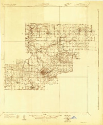
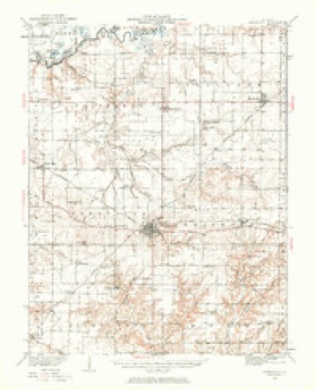
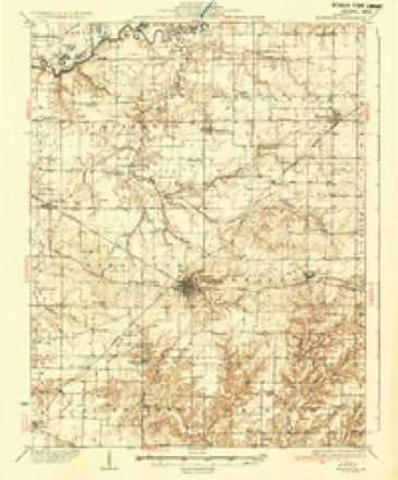
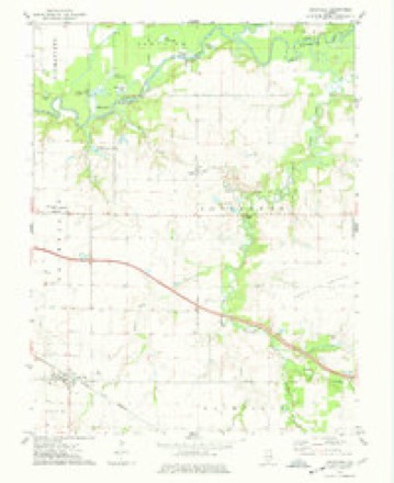
Topographic sheets covering this place
7 surveys from 12 printed sheetsMatched by testing this settlement's coordinate against the published boundary of every sheet in the United States Geological Survey's historical collection. Each opens the scanned sheet at the Survey.
- 1931 USGS Hoyleton quadrangle1:48000
- 1932 USGS Nashville quadrangle1:62500, 2 printings
- 1936 USGS Nashville quadrangle1:62500, 2 printings
- 1958 USGS Belleville quadrangle1:250000, 3 printings
- 1962 USGS Belleville quadrangle1:250000
- 1974 USGS Addieville quadrangle1:24000
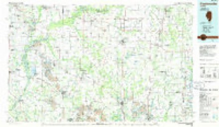
- 1985 USGS Pinckneyville quadrangle1:100000, 2 printings


Fires near this place
1 since 2001Regional context, not property-specific evidence. The federal wildfire occurrence database lists 1 fire within 5 miles of Covington in 2001, burning under an acre in total. None started naturally. None was recorded as arson. Distance is straight-line from the map coordinates, so a fire counted here may appear on a neighbouring settlement's page as well.
| Reported cause | Fires |
|---|---|
| Recreation and ceremony | 1 |
The most recent of them, most recent first, with the day each was reported and the service that recorded it.
| Date | Cause | Size | Reported by | Name on the report |
|---|---|---|---|---|
| 18 March 2001 | Recreation and ceremony | under an acre | Illinois State Fire Marshal's Office | not named |
Settlements close enough to share some of these fires:
Mines and quarries near this place
4 within 5 milesRegional context, not property-specific evidence. The federal mineral resources record lists 4 workings within 5 miles of Covington: 2 plants, 1 past producer, 1 prospect. 2 still produce. What was taken out: Stone, Crushed/Broken, Clay. Distance is straight-line from the map coordinates, so a quarry counted here may appear on a neighbouring settlement's page as well.
| Where | Site | Commodity | Status | Recorded |
|---|---|---|---|---|
| Freegurg Shale Exposure | Clay | Prospect | ||
| Covington Quarry and Mill No. 1 | Stone, Crushed/Broken | Plant | ||
| Pitts Quarry and Mill | Stone, Crushed/Broken | Plant | ||
| Unnamed Limestone Quarry | Stone, Crushed/Broken | Past Producer |
Storms near this place
3 since 2011Regional context, not property-specific evidence. The National Weather Service names Covington in 3 storm reports between 2011 and 2023: 2 tornado, 1 hail. No death or injury is recorded in these reports. Each account below is quoted exactly as the forecast office filed it, from the NOAA Storm Events Database, and each date opens the federal record of that event.
| When | Event | Place named | Harm | What the report says |
|---|---|---|---|---|
| April 2023 | Tornado (EFU) | Covington | - | A tornado briefly touched down about a third of a mile north of Covington, IL. The only evidence of this tornado was a video provided via social media. Duration was likely less than 1 minute, no damage or injuries. The tornado was rated EFU with an estimated path length of 0.17 miles and an estimated path width of 50 yards. |
| February 2011 | Tornado (EF2) | Covington | - | The tornado touched down approximately 6 miles east of Okawville on Illinois Route 177 near the Kuhl Lumber and Pallet Company. Minor roof and siding damage occurred to an ongoing construction project at the saw mill. A few trees along a tree line to the east of the complex were topped. The tornado continued east where it struck a farmstead causing considerable damage. A 48 by 96 foot machine shed was completely destroyed with much of the debris scattered up to almost one mile to the east. Another building was lost at this location as well as a grain bin. Two other barns sustained damage with one being pushed off the foundation by several feet. The debris from the machine shed impacted the house, garage and workshop with several missiles not only in the ground but also into other structures. The home sustained several broken windows from flying debris. The roof of the home had at least five rafters damaged when an unknown heavy object hit the roof, but was blown away during the storm. The tornado continued to the east and dissipated approximately one mile west of New Minden. The path length was 2.3 miles with a maximum intensity of EF2 due to the damage at the farmstead. Maximum damage width was 100 yards. |
| April 2012 | Hail | Covington | - | no account filed |
Nearest settlements
The eight closest, with where each one stands in the county. Distances are straight-line, computed from the Geographic Names Information System coordinates.
| Map | Place | Distance | Sheets |
|---|---|---|---|
| Frogtown | 3.1 miles | 12 | |
| New Minden | 3.6 miles | 12 | |
| Addieville | 5.2 miles | 12 | |
| Okawville | 6.2 miles | 11 | |
| Huegely | 7.1 miles | 12 | |
| Plum Hill | 7.4 miles | 10 | |
| Nashville | 8.2 miles | 13 | |
| Hoyleton | 8.6 miles | 12 |
Provenance
This settlement is recorded in the Geographic Names Information System as feature 406676. The sheet list is computed by point-in-boundary test against the United States Geological Survey's historical topographic inventory. Both are works of the United States government and carry no copyright under 17 U.S.C. 105.
Wildfire. Short, Karen C. 2022. Spatial wildfire occurrence data for the United States, 1992-2020 [FPA_FOD_20221014]. 6th Edition. Fort Collins, CO: Forest Service Research Data Archive. https://doi.org/10.2737/RDS-2013-0009.6 Collected with United States Government funding and usable without additional permissions or fees.
Mines and quarries. USGS Mineral Resources Data System (MRDS) https://mrdata.usgs.gov/mrds/ A work of the United States government, no copyright under 17 U.S.C. 105.
Storms. NOAA National Centers for Environmental Information, Storm Events Database https://www.ncei.noaa.gov/stormevents/ A work of the United States government, no copyright under 17 U.S.C. 105. Narratives are quoted verbatim from the National Weather Service report and are not edited or summarised.