 Block
Des Plaines, Illinois
19 topographic sheets cover this place, the earliest surveyed in 1900 and the latest in 1995. It stands in Maine Township. It lies in ZIP code area 60016. It stands on Weller Creek. The Survey maps it on the Arlington Heights quadrangle. 60,675 people lived here at the 2020 count. It stands 642 feet above sea level.
On record in Des Plaines
Buildings and businesses the archive holds for this place. Each opens its own page, with the source record it came from.
On the National Register 2 records
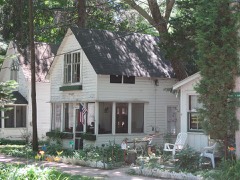 Des Plaines Methodist Camp Groundlisted 2005
 First Congregational Church, Des Plaineslisted 2019
Population over time
2 figuresDes Plaines grew from 58,364 to 60,675 between 2010 and 2020. These are the recorded population figures Wikidata holds for this place, reached through the Geographic Names Information System number this page is keyed on rather than by name, so they belong to this place and not to another of the same name. Most are census counts, but not all are: an early figure may be a founding or settlement estimate, and an estimate published within five years of a census is left out. The change column is computed, and is left blank where more than 20 years separate a figure from the one before it, because a gap that long is not a change between two counts.
| Year | People | Change |
|---|---|---|
| 2010 | 58,364 | |
| 2020 | 60,675 | +2,311 (+4%) |
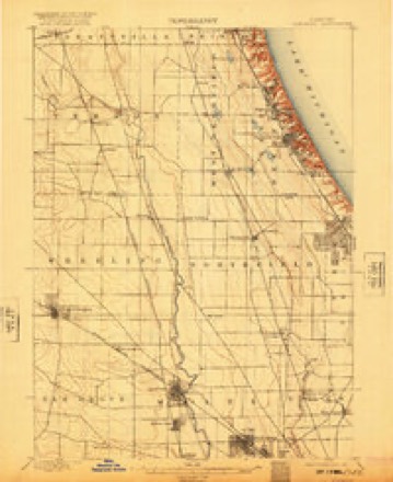
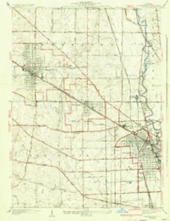
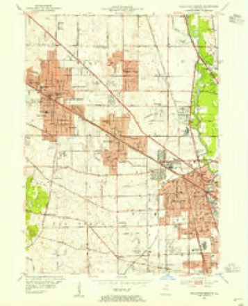
Topographic sheets covering this place
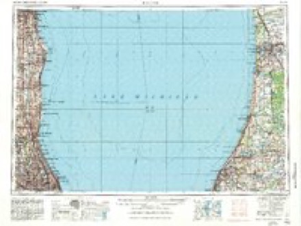
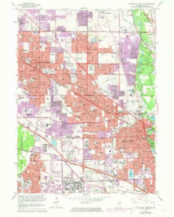
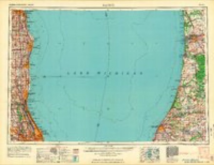
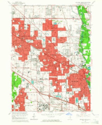
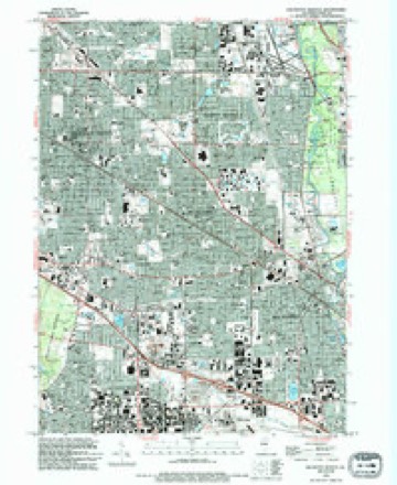
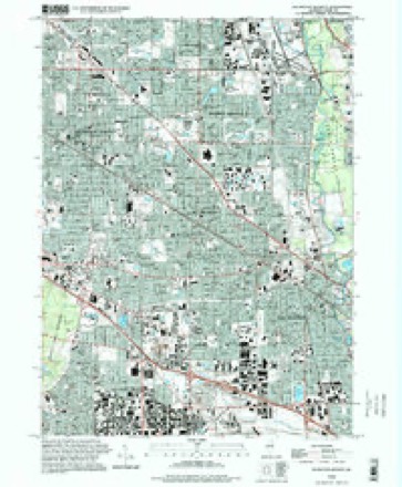
10 surveys from 19 printed sheetsMatched by testing this settlement's coordinate against the published boundary of every sheet in the United States Geological Survey's historical collection. Each opens the scanned sheet at the Survey.
- 1900 USGS Highwood quadrangle1:62500, 5 printings
- 1927 USGS Arlington Heights quadrangle1:24000, 3 printings
- 1953 USGS Arlington Heights quadrangle1:24000
- 1958 USGS Racine quadrangle1:250000, 3 printings
- 1962 USGS Arlington Heights quadrangle1:24000
- 1962 USGS Racine quadrangle1:250000
- 1963 USGS Arlington Heights quadrangle1:24000, 2 printings
- 1980 USGS Waukegan quadrangle1:100000
- 1993 USGS Arlington Heights quadrangle1:24000
- 1995 USGS Arlington Heights quadrangle1:24000

Mines and quarries near this place
2 within 5 milesRegional context, not property-specific evidence. The federal mineral resources record lists 2 workings within 5 miles of Des Plaines: 2 past producers. None of them still produces. What was taken out: Stone, Crushed/Broken. Distance is straight-line from the map coordinates, so a quarry counted here may appear on a neighbouring settlement's page as well.
| Where | Site | Commodity | Status | Recorded |
|---|---|---|---|---|
| Mount Prospect City Eng | Stone, Crushed/Broken | Past Producer | ||
| Niles City Dept of Public Works | Stone, Crushed/Broken | Past Producer |
Storms near this place
45 since 2000Regional context, not property-specific evidence. The National Weather Service names Des Plaines in 45 storm reports between 2000 and 2025: 25 thunderstorm wind, 14 hail, 6 flood. The reports record 5 injuries. Each account below is quoted exactly as the forecast office filed it, from the NOAA Storm Events Database, and each date opens the federal record of that event.
| When | Event | Place named | Harm | What the report says |
|---|---|---|---|---|
| September 2014 | Thunderstorm Wind | Des Plaines | 4 hurt, $75,000 | A building under renovation collapsed due to severe winds resulting in minor injuries to four workers who were trapped and had to be rescued. Winds were estimated to around 65 mph by a trained spotter at Oakton Community College. |
| June 2010 | Thunderstorm Wind | Des Plaines | 1 hurt, $75,000 | Trees and limbs were blown down. A woman lost control of her car due to falling power lines and limbs and crashed into a house. Winds blew down twenty eight 80 foot tall power poles on Touhy Avenue. |
| August 2007 | Thunderstorm Wind | Des Plaines | $300,000 | Extensive tree damage city wide. Damage to cars, roofs, and fences. Powerlines also blown down. |
| August 2007 | Flood | Des Plaines | $100,000 | Heavy rainfall over the upper part of the Des Plaines watershed in Wisconsin combined with well above normal precipitation over portions of Lake County Illinois brought the parts of Des Plaines River in flood by August 20th. The additional rains on August 23rd resulted in a crest of 8.62 feet the following evening at Des Plaines. In Des Plaines, flooding inundated the Methodist Campground. Many streets were affected by floodwaters and some homes on Big Bend Drive and Junior Terrace were surrounded by flood waters. |
| June 2011 | Thunderstorm Wind | Des Plaines | $50,000 | Numerous trees, tree limbs, utility poles and power lines were blown down. A transformer was completely blown off a utility pole. A large tree fell onto a house on Oakwood Street but only caused damage to the gutters. Damage was also reported to netting and fencing at a golf course. |
| July 2012 | Thunderstorm Wind | Des Plaines | $5,000 | Two houses in Des Plaines sustained minor damage by falling trees. |
| July 2025 | Thunderstorm Wind | Des Plaines | - | A photo showed a one foot diameter tree uprooted near Linden Street and Prospect Avenue. A portion of sidewalk was damaged by the uprooted tree. |
| August 2024 | Thunderstorm Wind | Des Plaines | - | Trees and branches were downed along Mount Prospect Road between Golf and Touhy Roads. |
| March 2023 | Flood | Des Plaines | - | Numerous reports were received of flooded roadways in Des Plaines and Park Ridge. |
| August 2022 | Thunderstorm Wind | Des Plaines | - | A healthy 12 inch diameter tree was snapped at its base. |
| August 2022 | Thunderstorm Wind | Des Plaines | - | A photo shared on social media showed a small tree snapped at its base near Golf Road and Rand Road. |
| July 2022 | Thunderstorm Wind | Des Plaines | - | Multiple trees were blown down on Trailside Lane north of Ballard Road. A power line was also blown down. |
| July 2022 | Thunderstorm Wind | Des Plaines | - | A tree limb was blown down on a residential power line in the 1700 block of Linden Street. |
| July 2022 | Thunderstorm Wind | Des Plaines | - | A photo was shared of a five inch diameter tree limb wedged into a car sunroof. |
| September 2022 | Flood | Des Plaines | - | Street flooding was reported in Des Plaines. |
| August 2022 | Thunderstorm Wind | Des Plaines | - | Numerous tree limbs were blown down on the south side of Des Plaines, particularly between Howard Avenue and Algonquin Road. |
| June 2022 | Thunderstorm Wind | Des Plaines | - | Scattered tree limbs were blown down in Des Plaines, along with a few large trees. One tree was blown down in the 700 block of Algonquin Road and another tree was blown down in the 2500 block of Scott Street. |
| July 2021 | Thunderstorm Wind | Des Plaines | - | A large tree was blown down near Oakton Street and Mannheim Road. |
| July 2021 | Thunderstorm Wind | Des Plaines | - | A photo was shared on social media showing tree limbs that were blown down. |
| August 2021 | Thunderstorm Wind | Des Plaines | - | A large tree limb was snapped. Other tree damage was reported in the vicinity. |
| July 2021 | Thunderstorm Wind | Des Plaines | - | A large tree limb about 18 inches in diameter was blown down. |
| May 2018 | Flood | Des Plaines | - | Flooding was reported on Mannheim Road south of Oakton Street. |
| October 2017 | Flood | Des Plaines | - | Numerous streets and viaducts were flooded in the City of Chicago. |
| July 2015 | Thunderstorm Wind | Des Plaines | - | A six inch diameter tree limb was blown down. |
| May 2012 | Hail | Des Plaines | - | Multiple reports of quarter size hail were received between Des Plaines and Park Ridge, including a report near the intersection of Touhy Avenue and River Road. |
| November 2010 | Flood | Des Plaines | - | Heavy rain caused flooding across parts of Cook county and the City of Chicago. Six to seven inches of standing water was reported on north Lincoln Avenue near the intersection at Peterson. A runway at Midway Airport was closed due to standing water. Minor street flooding was reported at the intersection of Ogden Avenue and First Avenue in Brookfield. Rainfall totals included 2.02 inches in Berwyn; 1.75 inches 4 miles northeast of Brookfield; 1.53 inches at Midway Airport and 1.37 inches at Chicago O'Hare Airport. |
| June 2007 | Thunderstorm Wind | Des Plaines | - | Numerous tree limbs blown down. |
| August 2007 | Thunderstorm Wind | Des Plaines | - | Estimated gust to 60 mph. |
| June 2005 | Thunderstorm Wind | Des Plaines | - | Trees were blown down at River and Golf Roads. |
| July 2005 | Thunderstorm Wind | Des Plaines | - | Trees and tree limbs were blown down in parts of Des Plaines. Two parked cars were smashed by a tree that fell on them after it was struck by lightning. |
| July 2003 | Hail | Des Plaines | - | Hail ranged from the size of nickels to golf balls in Des Plaines. |
| August 2025 | Hail | Des Plaines | - | no account filed |
| August 2025 | Hail | Des Plaines | - | no account filed |
| April 2010 | Hail | Des Plaines | - | no account filed |
| June 2009 | Hail | Des Plaines | - | no account filed |
| June 2006 | Hail | Des Plaines | - | no account filed |
| May 2006 | Hail | Des Plaines | - | no account filed |
| September 2006 | Hail | Des Plaines | - | no account filed |
| May 2004 | Hail | Des Plaines | - | no account filed |
| May 2004 | Thunderstorm Wind | Des Plaines | - | no account filed |
| August 2003 | Hail | Des Plaines | - | no account filed |
| August 2003 | Thunderstorm Wind | Des Plaines | - | no account filed |
| August 2003 | Hail | Des Plaines | - | no account filed |
| July 2003 | Hail | Des Plaines | - | no account filed |
| May 2000 | Hail | Des Plaines | - | no account filed |
Nearest settlements
The eight closest, with where each one stands in the county. Distances are straight-line, computed from the Geographic Names Information System coordinates.
| Map | Place | Distance | Sheets |
|---|---|---|---|
| Norma | 1.6 miles | 19 | |
| Rosemont | 2.6 miles | 23 | |
| Park Ridge | 2.7 miles | 19 | |
| Forest River | 3.1 miles | 19 | |
| The Grove | 3.6 miles | 19 | |
| Mount Prospect | 3.7 miles | 19 | |
| Northfield Woods | 3.7 miles | 19 | |
| Edison | 4.0 miles | 26 |
Elsewhere
Matched on this settlement's Geographic Names Information System number rather than its name, so it cannot be a different place of the same name in another state.
| Wikipedia article on Des Plaines | An encyclopaedic summary. Its text is share-alike, so it is linked here rather than copied. |
| Wikidata item Q386961 | The structured record the population and elevation above come from. Public domain (CC0). |
Provenance
This settlement is recorded in the Geographic Names Information System as feature 407144. The sheet list is computed by point-in-boundary test against the United States Geological Survey's historical topographic inventory. Both are works of the United States government and carry no copyright under 17 U.S.C. 105.
Mines and quarries. USGS Mineral Resources Data System (MRDS) https://mrdata.usgs.gov/mrds/ A work of the United States government, no copyright under 17 U.S.C. 105.
Storms. NOAA National Centers for Environmental Information, Storm Events Database https://www.ncei.noaa.gov/stormevents/ A work of the United States government, no copyright under 17 U.S.C. 105. Narratives are quoted verbatim from the National Weather Service report and are not edited or summarised.