 Block
Dupo, Illinois
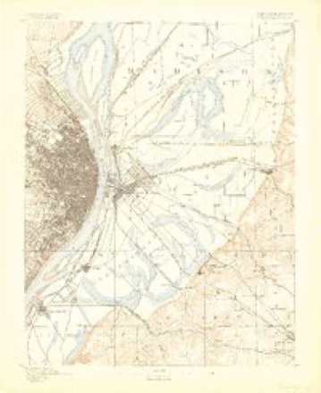
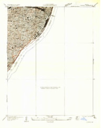
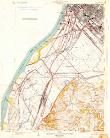
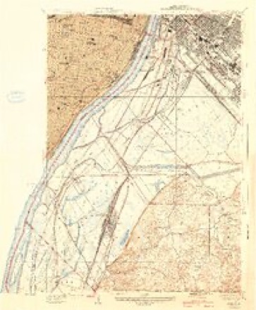
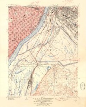
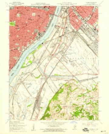
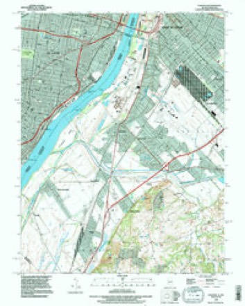
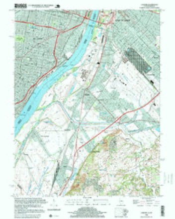
27 topographic sheets cover this place, the earliest surveyed in 1888 and the latest in 1998. It stands in Sugar Loaf Township. It lies in ZIP code area 62239. The Survey maps it on the Cahokia quadrangle.
Topographic sheets covering this place
14 surveys from 27 printed sheetsMatched by testing this settlement's coordinate against the published boundary of every sheet in the United States Geological Survey's historical collection. Each opens the scanned sheet at the Survey.
- 1888 USGS St. Louis quadrangle1:62500
- 1933 USGS Cahokia quadrangle1:24000
- 1934 USGS Cahokia quadrangle1:24000, 2 printings
- 1940 USGS Cahokia quadrangle1:24000, 3 printings
- 1949 USGS Cahokia quadrangle1:24000, 2 printings
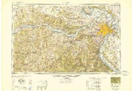
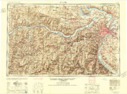
- 1949 USGS Saint Louis quadrangle1:250000
- 1949 USGS St. Louis quadrangle1:250000
- 1954 USGS Cahokia quadrangle1:24000, 5 printings
- 1962 USGS St. Louis quadrangle1:250000
- 1963 USGS St. Louis quadrangle1:250000, 4 printings
- 1966 USGS St. Louis quadrangle1:250000
- 1985 USGS St Louis quadrangle1:100000, 3 printings
- 1993 USGS Cahokia quadrangle1:24000
- 1998 USGS Cahokia quadrangle1:24000
Fires near this place
1 since 2014Regional context, not property-specific evidence. The federal wildfire occurrence database lists 1 fire within 5 miles of Dupo in 2014, burning about 1 acre in total. None started naturally. None was recorded as arson. Distance is straight-line from the map coordinates, so a fire counted here may appear on a neighbouring settlement's page as well.
| Reported cause | Fires |
|---|---|
| Misuse of fire by a minor | 1 |
The most recent of them, most recent first, with the day each was reported and the service that recorded it.
| Date | Cause | Size | Reported by | Name on the report |
|---|---|---|---|---|
| 22 March 2014 | Misuse of fire by a minor | 1.0 acres | Missouri Department of Conservation | not named |
Settlements close enough to share some of these fires:
Mines and quarries near this place
10 of 31 shownRegional context, not property-specific evidence. The federal mineral resources record lists 31 workings within 5 miles of Dupo: 24 past producers, 4 plants, 2 producers, 1 occurrence. 6 still produce. What was taken out: Stone, Crushed/Broken, Sand and Gravel, Construction. Distance is straight-line from the map coordinates, so a quarry counted here may appear on a neighbouring settlement's page as well.
| Where | Site | Commodity | Status | Recorded |
|---|---|---|---|---|
| Alpha Pit | Sand and Gravel, Construction | Past Producer | ||
| Superior Dredge and Mill | Sand and Gravel, Construction | Plant | ||
| Unknown - S&G | Sand and Gravel, Construction | Past Producer | ||
| Unknown - S&G | Sand and Gravel, Construction | Past Producer | ||
| Allen Quarry | Stone, Crushed/Broken | Past Producer | ||
| Casper Stolle Quarry & Mill | Stone, Crushed/Broken | Plant | ||
| Columbia Quarry & Mill #9 | Stone, Crushed/Broken | Plant | ||
| Columbia Quarry No. 1 | Stone, Crushed/Broken | Past Producer | ||
| East St. Louis Quarry | Stone, Crushed/Broken | Producer | ||
| Eyerman Brothers Quarry Number One | Stone, Crushed/Broken | Past Producer |
Storms near this place
20 since 1994Regional context, not property-specific evidence. The National Weather Service names Dupo in 20 storm reports between 1994 and 2025: 11 thunderstorm wind, 8 hail, 1 tornado. No death or injury is recorded in these reports. Each account below is quoted exactly as the forecast office filed it, from the NOAA Storm Events Database, and each date opens the federal record of that event.
| When | Event | Place named | Harm | What the report says |
|---|---|---|---|---|
| May 2024 | Thunderstorm Wind | Dupo | $50,000 | With this storm, and airline pilot measured an 81 mph wind gust at an aviation flight park near Millstadt. This storm was responsible for trees on homes in Dupo and Swansea. It also knocked down multiple trees and tree limbs in Belleville. By the time the storm reached Scott Air Force Base, wind gusts dropped to 61 mph as measured by the KBLV AWOS. |
| April 2025 | Thunderstorm Wind | Dupo | $10,000 | Thunderstorm winds downed a few power lines on Main Street in Dupo. |
| April 1994 | Thunderstorm Wind | Dupo | $500 | Several large trees were knocked down in Dupo and wind gusts as high as 70 mph were reported by ham radio spotters in Belleville. Quarter-size hail was also reported in Freeburg and dime-size hail was reported in Mascoutah. |
| March 2025 | Thunderstorm Wind | Dupo | - | Thunderstorm winds caused damage to trees and outbuildings. |
| October 2012 | Thunderstorm Wind | Dupo | - | Thunderstorm winds blew down a power pole and several power lines. |
| April 2003 | Thunderstorm Wind | Dupo | - | Storm spotters reported several large trees and power lines down. |
| June 2003 | Tornado (F0) | Dupo | - | A tornado first caused damage just west of Highway 3 north of Dupo. The roof of one home was partially removed while several large trees were snapped at the base or uprooted. The roof of a nearby garage was also lifted off and tossed 80 yards across Highway 3. The next significant damage occurred along McBride Ave. Four homes suffered roof damage and four mobile homes were damaged with two of them considered destroyed. The tornado crossed Interstate 255 and blew over a tractor trailer truck. The final damage area was just east of I-255 along Stolle Road where several large trees were uprooted or snapped off at the base. |
| September 2001 | Thunderstorm Wind | Dupo | - | The Sheriff's department reported trees down. |
| April 1994 | Hail | Dupo | - | Dime-size hail was reported along with wind gusts to 40 mph in Dupo. Trees were also blown down in Floraville damaging several homes while one-inch hail was reported in Millstadt. |
| June 2019 | Hail | Dupo | - | no account filed |
| June 2018 | Hail | North Dupo | - | no account filed |
| February 2017 | Hail | Dupo | - | no account filed |
| July 2012 | Hail | Dupo | - | no account filed |
| May 2008 | Hail | Dupo | - | no account filed |
| August 2005 | Thunderstorm Wind | Dupo | - | no account filed |
| September 2005 | Thunderstorm Wind | Dupo | - | no account filed |
| May 2003 | Hail | Dupo | - | no account filed |
| July 2000 | Thunderstorm Wind | Dupo | - | no account filed |
| July 2000 | Hail | Dupo | - | no account filed |
| July 1998 | Thunderstorm Wind | Dupo | - | no account filed |
Nearest settlements
The eight closest, with where each one stands in the county. Distances are straight-line, computed from the Geographic Names Information System coordinates.
| Map | Place | Distance | Sheets |
|---|---|---|---|
| Sugarloaf Heights | 1.4 miles | 20 | |
| Falling Spring | 1.7 miles | 27 | |
| Bixby | 1.7 miles | 20 | |
| Phelps | 1.9 miles | 20 | |
| Vulcan | 1.9 miles | 27 | |
| East Carondelet | 2.1 miles | 27 | |
| North Dupo | 2.4 miles | 27 | |
| Stolle | 2.9 miles | 27 |
Provenance
This settlement is recorded in the Geographic Names Information System as feature 426318. The sheet list is computed by point-in-boundary test against the United States Geological Survey's historical topographic inventory. Both are works of the United States government and carry no copyright under 17 U.S.C. 105.
Wildfire. Short, Karen C. 2022. Spatial wildfire occurrence data for the United States, 1992-2020 [FPA_FOD_20221014]. 6th Edition. Fort Collins, CO: Forest Service Research Data Archive. https://doi.org/10.2737/RDS-2013-0009.6 Collected with United States Government funding and usable without additional permissions or fees.
Mines and quarries. USGS Mineral Resources Data System (MRDS) https://mrdata.usgs.gov/mrds/ A work of the United States government, no copyright under 17 U.S.C. 105.
Storms. NOAA National Centers for Environmental Information, Storm Events Database https://www.ncei.noaa.gov/stormevents/ A work of the United States government, no copyright under 17 U.S.C. 105. Narratives are quoted verbatim from the National Weather Service report and are not edited or summarised.