 Block
Edgebrook, Illinois
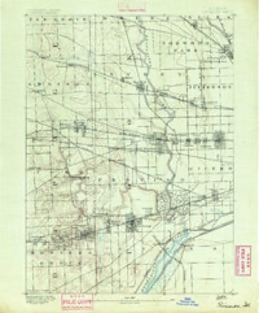
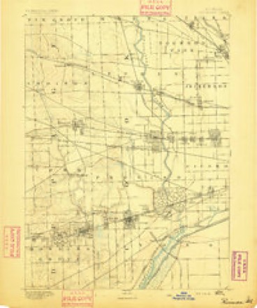
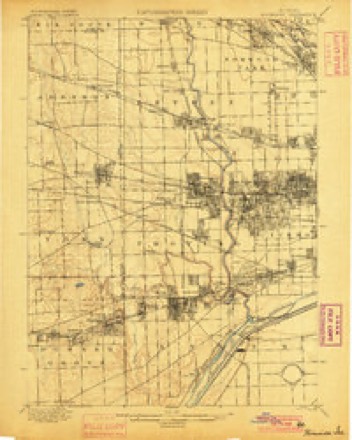
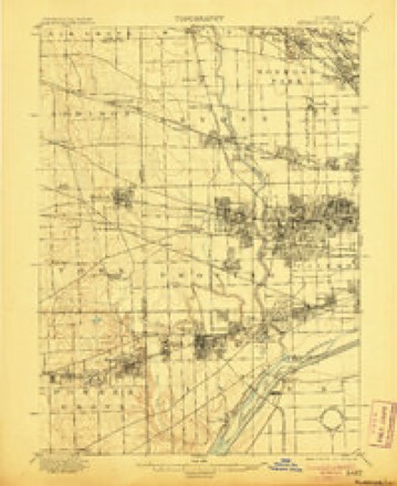
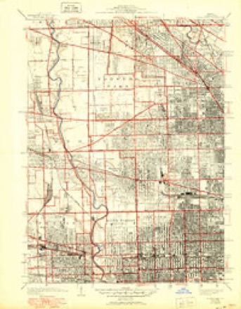
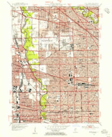
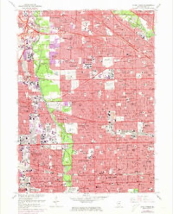
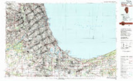
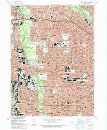
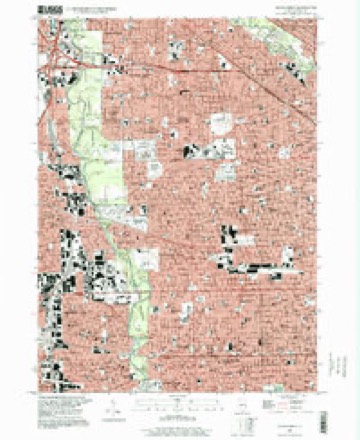
26 topographic sheets cover this place, the earliest surveyed in 1891 and the latest in 1997. It stands in Chicago City. It lies in ZIP code area 60646. The Survey maps it on the River Forest quadrangle.
Topographic sheets covering this place
12 surveys from 26 printed sheetsMatched by testing this settlement's coordinate against the published boundary of every sheet in the United States Geological Survey's historical collection. Each opens the scanned sheet at the Survey.
- 1891 USGS Riverside quadrangle1:62500
- 1893 USGS Riverside quadrangle1:62500
- 1900 USGS Riverside quadrangle1:62500
- 1901 USGS Riverside quadrangle1:62500, 4 printings
- 1928 USGS River Forest quadrangle1:24000, 4 printings
- 1953 USGS Chicago quadrangle1:250000, 5 printings
- 1953 USGS River Forest quadrangle1:24000
- 1957 USGS Chicago quadrangle1:250000
- 1963 USGS River Forest quadrangle1:24000, 4 printings
- 1980 USGS Chicago quadrangle1:100000
- 1993 USGS River Forest quadrangle1:24000, 2 printings
- 1997 USGS River Forest quadrangle1:24000
What happened here
An account from the chapter on Chicago city. The inset identifies its exact source book and publication year.
Index To Content
Chapter I. - First Settler of Chicago, 5. Various Appellations of Chicago. .Garies' River, 6. The Main River Bed Changed. .Chicago in Virginia. .Treaty of Greenville. . Original Site of Chicago. .Illinois in Indiana Territory. .Fort Dearborn Established. .First Commandants of the Fort. .Massacre of 1S12, 7. Captain John and Lieutenant Wm.
In the county-history sources
902,150 words on this townshipPolitics and Politicians of Chicago, Cook County, and Illinois : Memorial Volume, 1787-1887; a Complete Record of Municipal, County, State and National Politics from the Earliest Period to the Present Time, published 1887 names this settlement in its chapter on Chicago City. These are the passages that mention it, exactly as the scans read.
CHAPTER V. - Municipal Campaign of 1S56. . Mayor Thomas Dyer. .Great Free State Meeting in the Court House Square. .Col. J. H. Lane's Famous Speech, 102, 104. John Wentworth the Republican Candidate for Mayor. .Trouble at the Rolls Mayor Wentworth's Inaugural Message .. I lis Administration, 105, 109. Sketch of John Wentworth, 109, in. Mayor John C. Haines. .Mayor Wentworth's Second Election and Inaugural, III, 117. Mayor Julian S. Rumsey. . Incidents of 1 1 is Administration, 117, 119. Constitutional Convention of r 861. .Campaign of 1S62.. Speech of Isaac N. Arnold. Sketch of Arnold. . Speech of Owen Lovejoy. .Congressional Election, 119, 122.
Passage source: Politics and Politicians of Chicago, Cook County, and Illinois : Memorial Volume, 1787-1887; a Complete Record of Municipal, County, State and National Politics from the Earliest Period to the Present Time, published 1887.
CHAPTER VI I. - Constitutional Convention of 1869. .State Campaign 1S70. .A Noted Congressional Contest in Chicago. .Action of the Legislature for the Relief of Chicago The "Fire Proof " Ticket .. Official Returns, 135, 13S. Mayor Medill's Administration The Rolice Board Contest Saloon Troubles, 13S, 143. The "Reople's Party" .. Preliminary Meetings .The Kingsbury Hall Mass Meeting The Convention and Platform. . Position of the Democrats. City Treasurer David A. Gage's Defalcation. .The "Law and Order" Party. . The Election .. Official Returns, 143, 154. Mayor Colvin's Administration. His Message and Appointments. . Particulars of the Gage Deficit. City Finances .. The New Charter.. Incorporation under the General Law. .The Vote 154, 161.. .The Custom House Commission. .Changes in Departments. .The Wards Reduced.. The Exposition Building Mass Meeting. . Election of Thomas Hoyne. .The Reform Council and the Hoyne-Colvin Contest .Long and Short Terms in the Council. .Thomas Hoyne's Inaugural, 161, 167. Change in City Departments. . The Contest over the Comptroller. .Sketch of Harvey D. Colvin Sketch of Thomas Hoyne Death of Thomas Floyne, Resolutions of the Common Council, etc., 167, 180.
Passage source: Politics and Politicians of Chicago, Cook County, and Illinois : Memorial Volume, 1787-1887; a Complete Record of Municipal, County, State and National Politics from the Earliest Period to the Present Time, published 1887.
Machine-read from a century-old scan, so expect the errors a machine makes: misspelled names, dropped words, stray characters.
Read the whole chapter on Chicago City - it names this place 1 more 1 time.
Mines and quarries near this place
2 within 5 milesRegional context, not property-specific evidence. The federal mineral resources record lists 2 workings within 5 miles of Edgebrook: 2 past producers. None of them still produces. What was taken out: Stone, Crushed/Broken. Distance is straight-line from the map coordinates, so a quarry counted here may appear on a neighbouring settlement's page as well.
| Where | Site | Commodity | Status | Recorded |
|---|---|---|---|---|
| Morton Grove City Eng. - Own Crews | Stone, Crushed/Broken | Past Producer | ||
| Niles City Dept of Public Works | Stone, Crushed/Broken | Past Producer |
Storms near this place
3 since 2012Regional context, not property-specific evidence. The National Weather Service names Edgebrook in 3 storm reports between 2012 and 2022: 1 thunderstorm wind, 1 flash flood, 1 flood. No death or injury is recorded in these reports. Each account below is quoted exactly as the forecast office filed it, from the NOAA Storm Events Database, and each date opens the federal record of that event.
| When | Event | Place named | Harm | What the report says |
|---|---|---|---|---|
| July 2012 | Thunderstorm Wind | Edgebrook | $5,000 | A tree fell onto a car trapping one person inside the car in the 6600 block of North Kostner Avenue but the person did not need medical treatment. |
| May 2022 | Flood | Edgebrook | - | Multiple reports of minor street flooding were received from northern Chicago. |
| June 2013 | Flash Flood | Edgebrook | - | The Edens Expressway was closed between Pratt Avenue and Montrose Avenue. |
Nearest settlements
The eight closest, with where each one stands in the county. Distances are straight-line, computed from the Geographic Names Information System coordinates.
| Map | Place | Distance | Sheets |
|---|---|---|---|
| Gladstone | 1.2 miles | 26 | |
| Sauganash | 1.3 miles | 24 | |
| Colonial Gardens | 1.7 miles | 26 | |
| Jefferson Park | 1.8 miles | 26 | |
| Lincolnwood | 1.9 miles | 21 | |
| Mayfair | 2.5 miles | 24 | |
| Montrose | 2.5 miles | 24 | |
| Niles | 2.5 miles | 19 |
Provenance
This settlement is recorded in the Geographic Names Information System as feature 1826223. The sheet list is computed by point-in-boundary test against the United States Geological Survey's historical topographic inventory. Both are works of the United States government and carry no copyright under 17 U.S.C. 105.
Mines and quarries. USGS Mineral Resources Data System (MRDS) https://mrdata.usgs.gov/mrds/ A work of the United States government, no copyright under 17 U.S.C. 105.
Storms. NOAA National Centers for Environmental Information, Storm Events Database https://www.ncei.noaa.gov/stormevents/ A work of the United States government, no copyright under 17 U.S.C. 105. Narratives are quoted verbatim from the National Weather Service report and are not edited or summarised.