 Block
Ewing, Illinois
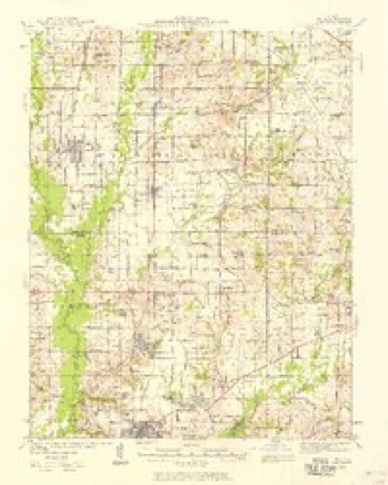
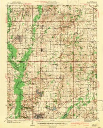
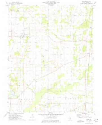
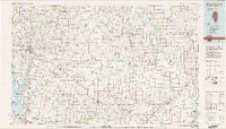
10 topographic sheets cover this place, the earliest surveyed in 1939 and the latest in 1982. It stands in Ewing Township. It lies in ZIP code area 62836. The Survey maps it on the Ewing quadrangle. 300 people lived here at the 2020 count. It stands 471 feet above sea level.
Population over time
2 figuresEwing fell from 307 to 300 between 2010 and 2020. These are the recorded population figures Wikidata holds for this place, reached through the Geographic Names Information System number this page is keyed on rather than by name, so they belong to this place and not to another of the same name. Most are census counts, but not all are: an early figure may be a founding or settlement estimate, and an estimate published within five years of a census is left out. The change column is computed, and is left blank where more than 20 years separate a figure from the one before it, because a gap that long is not a change between two counts.
| Year | People | Change |
|---|---|---|
| 2010 | 307 | |
| 2020 | 300 | -7 (-2%) |
Topographic sheets covering this place
6 surveys from 10 printed sheetsMatched by testing this settlement's coordinate against the published boundary of every sheet in the United States Geological Survey's historical collection. Each opens the scanned sheet at the Survey.
- 1939 USGS Ina quadrangle1:62500, 2 printings
- 1943 USGS Ina quadrangle1:62500, 2 printings
- 1958 USGS Belleville quadrangle1:250000, 3 printings
- 1962 USGS Belleville quadrangle1:250000
- 1974 USGS Ewing quadrangle1:24000
- 1982 USGS Mount Vernon quadrangle1:100000


In the county-history sources
487 words on this townshipThe Prospects of Franklin County, Illinois, 1912, published 1912 names this settlement in its chapter on Ewing Township. These are the passages that mention it, exactly as the scans read.
THE town of Ewing, Illinois, is among the oldest settlements in the County, having been founded in 1874. It is located about nine miles northeast of Benton, and has a population of six hundred. The coal iields in the immediate neighborhood of Ewing have not as yet been opened up and the rapid development of the town as an industrial center is still in the future. There are several prosperous business establishments, among the most prominent of which is the Ewing Bank of Wat- son, Fitzgerrell & Company, which was established in 1903. Its stockholders are among the wealthiest and most influential men of Franklin and Jefferson Counties.
Passage source: The Prospects of Franklin County, Illinois, 1912, published 1912.
The country around Ewing has been thoroughly prospected and is underlaid with a vein of coal averaging nine feet or more in thickness. It is only a question of a short time until the country-wide demand for Franklin County coal will cause Ewing to become a mine center.
Passage source: The Prospects of Franklin County, Illinois, 1912, published 1912.
The greatest boast of Ewing and one of the features of Franklin County is Ewing College. Ewing College was founded in 1870 by John Washburn, D. D., and has grown from a comparatively small beginning until today its properties are estimated to be worth $100,000.00. The first trustees of the Institution were John W. Hill, Elijah T. Webb, William A. King, Robert R. Link and Richard H. Richeson; all of whom are deceased, except William A. King, who still resides in Ewing, and who is one of the best known and most respected men in the community. Ewing College is located at the geographical center of Southern Illinois. The Chicago & Eastern Illinois Railroad runs within a couple of miles of the College, giving Ewing and Ewing College all the advantages of a railroad town, without its disadvantages. The college is located in a small town, which is an additional argument in its favor. When character is the chief aim of education, it is decidedly an advantage that young people should be sent, not to a large city, where there are the greatest possible number of distractions, but to a small place where the temptations and vices incident to larger cities are lacking. Proof of the soundness of this theory lies in the fact that many prominent men, of great ability and strong character, now scattered throughout the United States, received their early education at Ewing College. The college has a magnificent Carnegie Library in connection, and has a large and able faculty.
Passage source: The Prospects of Franklin County, Illinois, 1912, published 1912.
Machine-read from a century-old scan, so expect the errors a machine makes: misspelled names, dropped words, stray characters.
Fires near this place
1 since 2012Regional context, not property-specific evidence. The federal wildfire occurrence database lists 1 fire within 5 miles of Ewing in 2012, burning about 1 acre in total. None started naturally. None was recorded as arson. Distance is straight-line from the map coordinates, so a fire counted here may appear on a neighbouring settlement's page as well.
| Reported cause | Fires |
|---|---|
| Missing data/not specified/undetermined | 1 |
The most recent of them, most recent first, with the day each was reported and the service that recorded it.
| Date | Cause | Size | Reported by | Name on the report |
|---|---|---|---|---|
| 31 July 2012 | Missing data/not specified/undetermined | 1.0 acres | Illinois Division of Forestry Resources | SESSER4 |
Settlements close enough to share some of these fires:
Storms near this place
4 since 2004Regional context, not property-specific evidence. The National Weather Service names Ewing in 4 storm reports between 2004 and 2010: 3 thunderstorm wind, 1 funnel cloud. No death or injury is recorded in these reports. Each account below is quoted exactly as the forecast office filed it, from the NOAA Storm Events Database, and each date opens the federal record of that event.
| When | Event | Place named | Harm | What the report says |
|---|---|---|---|---|
| May 2010 | Thunderstorm Wind | Ewing | $30,000 | A large maple tree was uprooted. The tree fell on a church, damaging the roof of the cafeteria and activity room. The church was originally constructed in 1906. |
| February 2008 | Thunderstorm Wind | Ewing | $5,000 | A few trees were down, including one on a power line. |
| August 2004 | Thunderstorm Wind | Ewing | $4,000 | A few trees were toppled, and a portable carport was blown over. |
| October 2007 | Funnel Cloud | Ewing | - | A funnel cloud was observed by two trained storm spotters on the north side of Highway 14. The parent thunderstorm was a supercell with strong rotation. |
Nearest settlements
The eight closest, with where each one stands in the county. Distances are straight-line, computed from the Geographic Names Information System coordinates.
| Map | Place | Distance | Sheets |
|---|---|---|---|
| Whittington | 2.7 miles | 11 | |
| Taylor Hill | 3.4 miles | 10 | |
| Benton Park | 3.9 miles | 11 | |
| Frisco | 4.3 miles | 10 | |
| Diana | 5.4 miles | 10 | |
| Steel City | 6.4 miles | 18 | |
| Bessie | 6.6 miles | 18 | |
| Boothby | 7.1 miles | 10 |
Elsewhere
Matched on this settlement's Geographic Names Information System number rather than its name, so it cannot be a different place of the same name in another state.
| Wikipedia article on Ewing | An encyclopaedic summary. Its text is share-alike, so it is linked here rather than copied. |
| Wikidata item Q2352231 | The structured record the population and elevation above come from. Public domain (CC0). |
Provenance
This settlement is recorded in the Geographic Names Information System as feature 408133. The sheet list is computed by point-in-boundary test against the United States Geological Survey's historical topographic inventory. Both are works of the United States government and carry no copyright under 17 U.S.C. 105.
Wildfire. Short, Karen C. 2022. Spatial wildfire occurrence data for the United States, 1992-2020 [FPA_FOD_20221014]. 6th Edition. Fort Collins, CO: Forest Service Research Data Archive. https://doi.org/10.2737/RDS-2013-0009.6 Collected with United States Government funding and usable without additional permissions or fees.
Storms. NOAA National Centers for Environmental Information, Storm Events Database https://www.ncei.noaa.gov/stormevents/ A work of the United States government, no copyright under 17 U.S.C. 105. Narratives are quoted verbatim from the National Weather Service report and are not edited or summarised.