 Block
Farm Ridge, Illinois
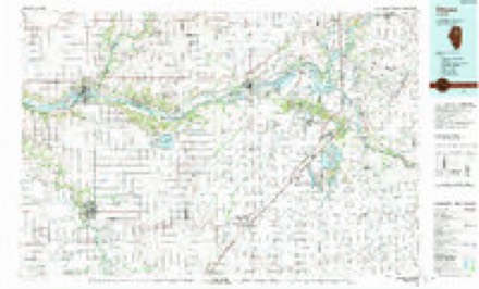
11 topographic sheets cover this place, the earliest surveyed in 1925 and the latest in 1991. It stands in Farm Ridge Township. It lies in ZIP code area 61325. The Survey maps it on the Leonore quadrangle. It stands 643 feet above sea level.
Topographic sheets covering this place
7 surveys from 11 printed sheetsMatched by testing this settlement's coordinate against the published boundary of every sheet in the United States Geological Survey's historical collection. Each opens the scanned sheet at the Survey.
- 1925 USGS Streator quadrangle1:62500, 2 printings
- 1927 USGS Streator quadrangle1:62500, 2 printings
- 1958 USGS Aurora quadrangle1:250000, 3 printings
- 1961 USGS Aurora quadrangle1:250000
- 1983 USGS Leonore quadrangle1:24000
- 1985 USGS Ottawa quadrangle1:100000
- 1991 USGS Ottawa quadrangle1:100000
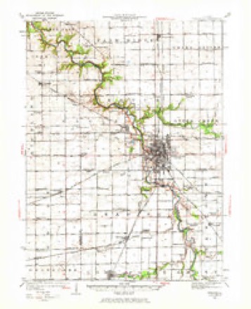
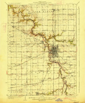


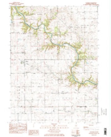
In the county-history sources
2,937 words on this townshipHistory of LaSalle County, Illinois : Its Topography, Geology, Botany, Natural History, History of the Mound Builders, Indian Tribes, French Explorations, and a Sketch of the Pioneer Settlers of Each Town to 1840, with an Appendix, Giving the Present Status of the County, Its Population, Resources, Manufactures and Institutions, published 1877 names this settlement in its chapter on Farm Ridge Township. These are the passages that mention it, exactly as the scans read.
Farm Ridge embraces all of Township 32, Range %, except Sections 31 and 32, which lie on the south west side of the Vermillion, and are attached to and form part of the town of Vermillion. It is all Prairie except the extreme southwestern portion, which borders the Vermillion. The most striking topographical feature is a high ridge or swell extending northwest and sontheast, parallel with the general course of the river, from which the town derived its name.
Isaac Wheatland, and wife, came from England to Ohio, and from Ohio here; made a claim on Section 33, in 1836, where he lived till his death. His wife died about 1843, and he again married. About the year 1846 he was drowned while crossing the Illinois river at Ottawa. He left six children: Elizabeth, married William Wedgebury, now living in Iroquois County; Mary Ann, who married and went to Livingston County; one son died single; William, married Miss Casey, lives in Farm Ridge; Georg: a Ellen
Sketch of Setilers - Farm Ridge. 389 Dr. Johnson Hatch, and wife, came from New Preston, Ot., in 1837, and bonght the farm of Kirjeth A. Hont. An old experienced physician, his services were in demand during the sickly seasons of 1838 and '39, and the release from labor which he songht by coming West was hardly found ; "he returned to Connecticut in 1841. dJolm W. Calkins, and wife, Miss Page, came from Salisbury, (t., in 1838, and settled on Sec. 19. Mrs. Calkins died in 1888. He married Miss Beards! of Connecticut, who died soon after. He then married Oynthia Bishop, of Conneoticnt, Mr. Calkins removed to Deer Park in 1842, and subsequently Ottawa, where he died, leaving four children: James, who married, was engaged in the lomber frade in Ottawa, subsequently in Chicago, and is now manufacturing lumber at Manistee, Mich. ; Helen, married Edgar Baldwin, from Connecticut, and lives near Vermillion Mary, married Henry M. Baldwin, from Connecticut, and settled In D. Park - Mr. Baldwin died, y is now the wife of Henry Page. in Cs William W., married Louise Hossack, and li og Charles H. Green, son of Henry Green, of Ottawa, tame to Illinois with his father, and settled on S fion 3; he married Jane Loyd, and has thre danghters. Mr. Green cultivates a large farm and has a fine herd of short-horn stock.
Machine-read from a century-old scan, so expect the errors a machine makes: misspelled names, dropped words, stray characters.
Fires near this place
1 since 2008Regional context, not property-specific evidence. The federal wildfire occurrence database lists 1 fire within 5 miles of Farm Ridge in 2008, burning about 1 acre in total. None started naturally. None was recorded as arson. Distance is straight-line from the map coordinates, so a fire counted here may appear on a neighbouring settlement's page as well.
| Reported cause | Fires |
|---|---|
| Missing data/not specified/undetermined | 1 |
The most recent of them, most recent first, with the day each was reported and the service that recorded it.
| Date | Cause | Size | Reported by | Name on the report |
|---|---|---|---|---|
| 6 April 2008 | Missing data/not specified/undetermined | 1.0 acres | Illinois Division of Forestry Resources | 1 |
Settlements close enough to share some of these fires:
Nearest settlements
The eight closest, with where each one stands in the county. Distances are straight-line, computed from the Geographic Names Information System coordinates.
| Map | Place | Distance | Sheets |
|---|---|---|---|
| Wilsman | 3.9 miles | 11 | |
| Leonore | 4.3 miles | 11 | |
| Grand Ridge | 4.4 miles | 11 | |
| Vermilionville | 5.0 miles | 27 | |
| Richards | 5.2 miles | 11 | |
| Lowell | 5.5 miles | 21 | |
| Reed Crossing | 5.5 miles | 27 | |
| Altmar | 5.8 miles | 11 |
Elsewhere
Matched on this settlement's Geographic Names Information System number rather than its name, so it cannot be a different place of the same name in another state.
| Wikipedia article on Farm Ridge | An encyclopaedic summary. Its text is share-alike, so it is linked here rather than copied. |
| Wikidata item Q5435514 | The structured record the population and elevation above come from. Public domain (CC0). |
Provenance
This settlement is recorded in the Geographic Names Information System as feature 1719760. The sheet list is computed by point-in-boundary test against the United States Geological Survey's historical topographic inventory. Both are works of the United States government and carry no copyright under 17 U.S.C. 105.
Wildfire. Short, Karen C. 2022. Spatial wildfire occurrence data for the United States, 1992-2020 [FPA_FOD_20221014]. 6th Edition. Fort Collins, CO: Forest Service Research Data Archive. https://doi.org/10.2737/RDS-2013-0009.6 Collected with United States Government funding and usable without additional permissions or fees.