 Block
Glencoe, Illinois
22 topographic sheets cover this place, the earliest surveyed in 1900 and the latest in 2000. It stands in New Trier Township. It lies in ZIP code area 60022. The Survey maps it on the Highland Park quadrangle.
On record in Glencoe
Buildings and businesses the archive holds for this place. Each opens its own page, with the source record it came from.
On the National Register 6 records
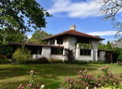 Edmund D. Brigham Houselisted 2016
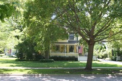 Mr. James Kent Calhoun Houselisted 2010
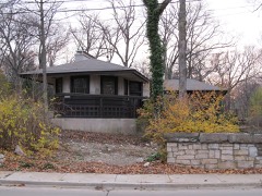 William A. Glasner Houselisted 2005
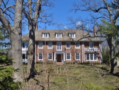 John Rogerson Montgomery Houselisted 2004
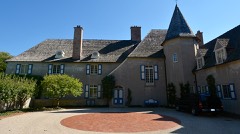 Jesse L. Strauss Estatelisted 2014
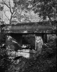 Sylvan Road Bridgelisted 1978
Topographic sheets covering this place
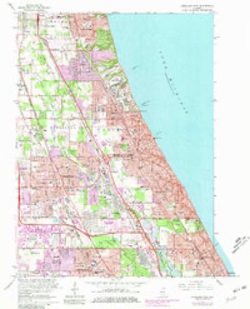
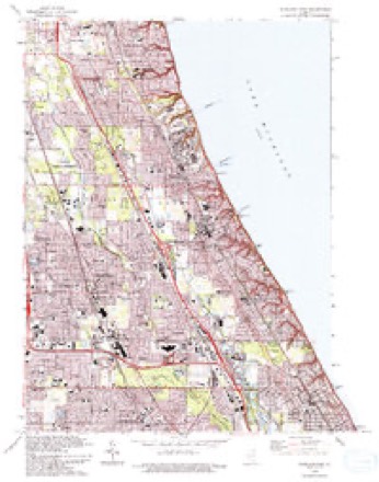
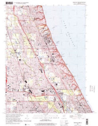
10 surveys from 22 printed sheetsMatched by testing this settlement's coordinate against the published boundary of every sheet in the United States Geological Survey's historical collection. Each opens the scanned sheet at the Survey.
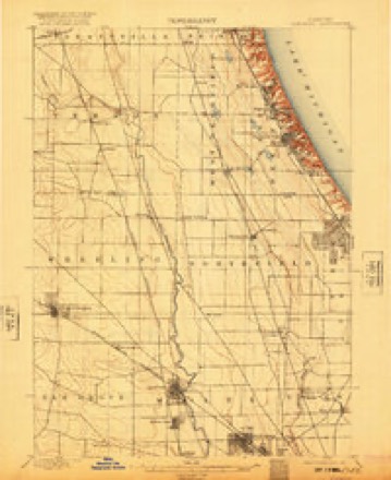
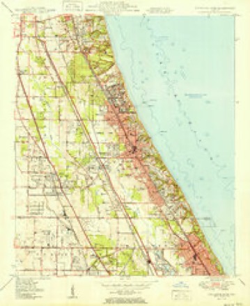
- 1900 USGS Highwood quadrangle1:62500, 5 printings
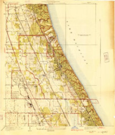
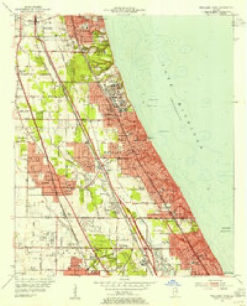
- 1928 USGS Highland Park quadrangle1:24000, 4 printings
- 1951 USGS Highland Park quadrangle1:24000, 2 printings
- 1953 USGS Highland Park quadrangle1:24000
- 1958 USGS Racine quadrangle1:250000, 3 printings
- 1962 USGS Racine quadrangle1:250000
- 1963 USGS Highland Park quadrangle1:24000, 3 printings
- 1980 USGS Waukegan quadrangle1:100000
- 1993 USGS Highland Park quadrangle1:24000
- 2000 USGS Highland Park quadrangle1:24000
Mines and quarries near this place
3 within 5 milesRegional context, not property-specific evidence. The federal mineral resources record lists 3 workings within 5 miles of Glencoe: 3 past producers. None of them still produces. What was taken out: Stone, Crushed/Broken. Distance is straight-line from the map coordinates, so a quarry counted here may appear on a neighbouring settlement's page as well.
| Where | Site | Commodity | Status | Recorded |
|---|---|---|---|---|
| Glencoe City Engr. - Own Crews | Stone, Crushed/Broken | Past Producer | ||
| Northbrook City Dept of Public Work | Stone, Crushed/Broken | Past Producer | ||
| Winnetka City Eng. - Own Crews | Stone, Crushed/Broken | Past Producer |
Storms near this place
7 since 2008Regional context, not property-specific evidence. The National Weather Service names Glencoe in 7 storm reports between 2008 and 2020: 2 flash flood, 2 hail, 1 flood, 1 lightning. No death or injury is recorded in these reports. Each account below is quoted exactly as the forecast office filed it, from the NOAA Storm Events Database, and each date opens the federal record of that event.
| When | Event | Place named | Harm | What the report says |
|---|---|---|---|---|
| April 2013 | Flash Flood | Glencoe | $12,000,000 | Widespread flooding was reported across northern Cook County. All lanes on Interstate 94 were impassable near Pratt Avenue. Hundreds of homes were flooded, including homes along the Des Plaines River where some basements were flooded to the ceiling. The exit ramp from Interstate 90 to Arlington Heights Road was blocked due to flooding. Over six inches of water was reported on Milwaukee Avenue from Golf Road to north of Glenview Road. Portions of the Edens Expressway were closed. Some of the heaviest rainfall reports include 6.23 inches near Winnetka, 5.91 inches near Lincolnwood, and 5.82 inches near Evanston. |
| February 2008 | Flood | Glencoe | $2,000,000 | The combination of heavy rain and melting snow caused flooding across parts of Chicago including flooded roads and numerous flooded basements. Part of the roof of a grocery store in Glencoe collapsed from the weight of rain and melting snow. No injuries were reported. |
| July 2011 | Lightning | Glencoe | $1,000,000 | Lightning struck a large house on Lincoln Avenue and started a fire in the attic which spread to the second floor. The house and its contents were a total loss. No one was home at the time of the fire. |
| June 2011 | Thunderstorm Wind | Glencoe | $50,000 | Trees, tree limbs and power lines were blown down in many areas. Some trees fell onto houses and other buildings. Power outages lasted several days causing significant food spoilage. |
| August 2020 | Hail | Glencoe | - | Nickel size hail fell across Glencoe for 10 minutes. |
| July 2012 | Flash Flood | Glencoe | - | Hazel Avenue under a viaduct was closed due to high water. |
| April 2020 | Hail | Glencoe | - | no account filed |
Nearest settlements
The eight closest, with where each one stands in the county. Distances are straight-line, computed from the Geographic Names Information System coordinates.
| Map | Place | Distance | Sheets |
|---|---|---|---|
| Braeside | 1.4 miles | 22 | |
| Hubbard Woods | 1.6 miles | 21 | |
| Sunridge | 1.7 miles | 22 | |
| Skokie Highlands | 1.7 miles | 22 | |
| Lake View | 1.8 miles | 21 | |
| Fair Oaks | 1.8 miles | 22 | |
| Willowbrook Acres | 1.9 miles | 19 | |
| Sunset Court | 1.9 miles | 19 |
Provenance
This settlement is recorded in the Geographic Names Information System as feature 409066. The sheet list is computed by point-in-boundary test against the United States Geological Survey's historical topographic inventory. Both are works of the United States government and carry no copyright under 17 U.S.C. 105.
Mines and quarries. USGS Mineral Resources Data System (MRDS) https://mrdata.usgs.gov/mrds/ A work of the United States government, no copyright under 17 U.S.C. 105.
Storms. NOAA National Centers for Environmental Information, Storm Events Database https://www.ncei.noaa.gov/stormevents/ A work of the United States government, no copyright under 17 U.S.C. 105. Narratives are quoted verbatim from the National Weather Service report and are not edited or summarised.