 Block
Little Rock, Illinois
10 topographic sheets cover this place, the earliest surveyed in 1948 and the latest in 1994. It stands in Little Rock Township. It lies in ZIP code area 60545. The Survey maps it on the Plano quadrangle.
Topographic sheets covering this place
7 surveys from 10 printed sheetsMatched by testing this settlement's coordinate against the published boundary of every sheet in the United States Geological Survey's historical collection. Each opens the scanned sheet at the Survey.
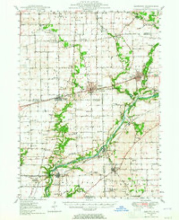
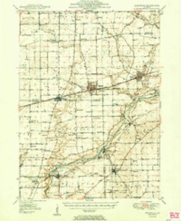
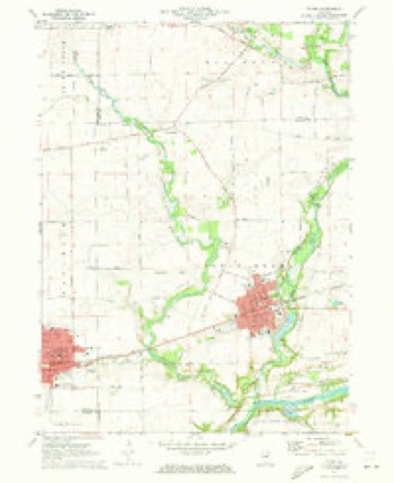
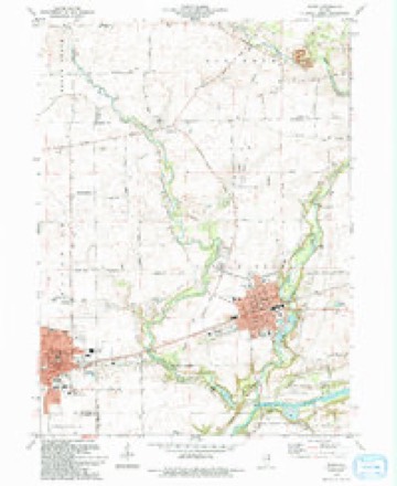
- 1948 USGS Sandwich quadrangle1:62500
- 1950 USGS Sandwich quadrangle1:62500, 2 printings
- 1958 USGS Aurora quadrangle1:250000, 3 printings
- 1961 USGS Aurora quadrangle1:250000
- 1971 USGS Plano quadrangle1:24000
- 1985 USGS Aurora quadrangle1:100000
- 1994 USGS Plano quadrangle1:24000



In the county-history sources
179 words on this townshipHistory of Kendall County, Illinois, from the Earliest Discoveries to the Present Time, published 1877 has no passage naming this settlement, which was common for smaller places. Its township is covered in full.
The chapter on Little Rock Township covers the township.
Read the chapter on Little Rock Township - 179 words.
Mines and quarries near this place
1 within 5 milesRegional context, not property-specific evidence. The federal mineral resources record lists 1 working within 5 miles of Little Rock: 1 producer. All of them still produce. What was taken out: Stone, Crushed/Broken. Distance is straight-line from the map coordinates, so a quarry counted here may appear on a neighbouring settlement's page as well.
| Where | Site | Commodity | Status | Recorded |
|---|---|---|---|---|
| Big Rock Quarry | Stone, Crushed/Broken | Producer |
Storms near this place
8 since 2004Regional context, not property-specific evidence. The National Weather Service names Little Rock in 8 storm reports between 2004 and 2023: 3 thunderstorm wind, 2 flash flood, 1 flood, 1 tornado. No death or injury is recorded in these reports. Each account below is quoted exactly as the forecast office filed it, from the NOAA Storm Events Database, and each date opens the federal record of that event.
| When | Event | Place named | Harm | What the report says |
|---|---|---|---|---|
| September 2008 | Flash Flood | Little Rock | $2,000,000 | In Oswego, Route 25 was flooded and closed between Oswego and Montgomery Roads. Several cars drove around the barricades and at least one car was swept into the Fox River. The driver was able to escape. Four miles south of Little Rock, Jetter Road was flooded and closed. Three occupants of a car were rescued after their car was swept into Big Rock Creek. In Plano, many roads were flooded and closed, including Hale Road, Main Street, Miller Road and Creek Road. Extensive flooding was reported along Rock Creek Road. The Farnsworth House in Plano was damaged by flood waters from the Fox River. Extensive flooding was reported in Millington. Part of Fox River Drive was washed away and 17 roads across Kendall County were closed due to flooding. Basement flooding was also reported. |
| November 2022 | Tornado (EF0) | Little Rock | - | A tornado with peak winds of 80 mph touched down just south of Galena Road near Little Rock and moved north crossing into Kane County. Sporadic tree and power line damage occurred along its path. |
| August 2021 | Thunderstorm Wind | Little Rock | - | A large oak tree was snapped at its base. |
| April 2013 | Flash Flood | Little Rock | - | Numerous roads were closed across the county due to flooding. An observer near Yorkville reported 6.30 inches of rain while another near Montgomery reported 5.66 inches. |
| June 2008 | Thunderstorm Wind | Little Rock | - | One tree was blown down on Creek Road north of Miller Road. |
| September 2008 | Flood | Little Rock | - | Widespread flooding across parts of Kendall County slowly receded through September 16th. |
| April 2023 | Hail | Little Rock | - | no account filed |
| May 2004 | Thunderstorm Wind | Little Rock | - | no account filed |
Nearest settlements
The eight closest, with where each one stands in the county. Distances are straight-line, computed from the Geographic Names Information System coordinates.
Provenance
This settlement is recorded in the Geographic Names Information System as feature 412401. The sheet list is computed by point-in-boundary test against the United States Geological Survey's historical topographic inventory. Both are works of the United States government and carry no copyright under 17 U.S.C. 105.
Mines and quarries. USGS Mineral Resources Data System (MRDS) https://mrdata.usgs.gov/mrds/ A work of the United States government, no copyright under 17 U.S.C. 105.
Storms. NOAA National Centers for Environmental Information, Storm Events Database https://www.ncei.noaa.gov/stormevents/ A work of the United States government, no copyright under 17 U.S.C. 105. Narratives are quoted verbatim from the National Weather Service report and are not edited or summarised.