 Block
Lostant, Illinois
12 topographic sheets cover this place, the earliest surveyed in 1934 and the latest in 1998. It stands in Hope Township. It lies in ZIP code area 61334. The Survey maps it on the Tonica quadrangle. 423 people lived here at the 2020 count. It stands 691 feet above sea level.
Population over time
2 figuresLostant fell from 498 to 423 between 2010 and 2020. These are the recorded population figures Wikidata holds for this place, reached through the Geographic Names Information System number this page is keyed on rather than by name, so they belong to this place and not to another of the same name. Most are census counts, but not all are: an early figure may be a founding or settlement estimate, and an estimate published within five years of a census is left out. The change column is computed, and is left blank where more than 20 years separate a figure from the one before it, because a gap that long is not a change between two counts.
| Year | People | Change |
|---|---|---|
| 2010 | 498 | |
| 2020 | 423 | -75 (-15%) |
Topographic sheets covering this place
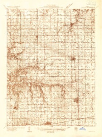
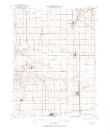
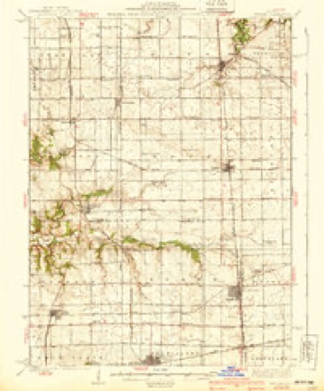
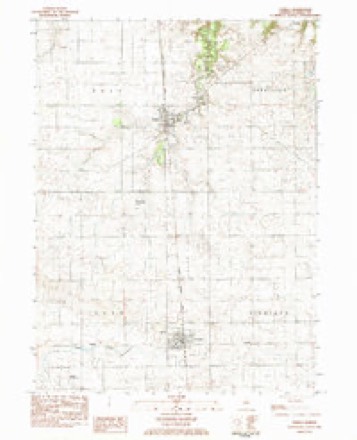
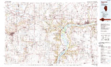
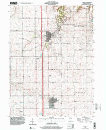
8 surveys from 12 printed sheetsMatched by testing this settlement's coordinate against the published boundary of every sheet in the United States Geological Survey's historical collection. Each opens the scanned sheet at the Survey.
- 1934 USGS Wenona quadrangle1:48000
- 1934 USGS Wenona quadrangle1:62500
- 1939 USGS Wenona quadrangle1:62500, 2 printings
- 1958 USGS Aurora quadrangle1:250000, 3 printings
- 1961 USGS Aurora quadrangle1:250000
- 1983 USGS Tonica quadrangle1:24000
- 1985 USGS Kewanee quadrangle1:100000, 2 printings
- 1998 USGS Tonica quadrangle1:24000


In the county-history sources
288 words on this townshipHistory of LaSalle County, Illinois : Its Topography, Geology, Botany, Natural History, History of the Mound Builders, Indian Tribes, French Explorations, and a Sketch of the Pioneer Settlers of Each Town to 1840, with an Appendix, Giving the Present Status of the County, Its Population, Resources, Manufactures and Institutions, published 1877 names this settlement in its chapter on Hope Township. These are the passages that mention it, exactly as the scans read.
Samuel D. MeCaleb, from Rockbridge County, Virginia, and his wife, Catharine Wood, from Mason County, Kentucky, settled on Ox Bow Prairie, Putnam County, in August, 1832, where Samuel D. died in September, 1839. His widow moved to 8. $ 8. 9, town of Hope, with her family of five boys and one girl, in April, 1850. She is now living in Lostant. Her children are; Albert G., in Lostant; Gilbe B., Lostant; Herbert C., Wenona ; Ethel red Missouri; and Hubert A., in Ottawa; the sister is now dead.
John M. Richey, from Muskingum County, Ohio, came to Putnam County in 1887, He entered S. 24 in Hope, in 1849, on which he resided till his death in 1875. The village of Lostant was laid out on Mr. Richey's farm in 1861. He married Clara 0, Colster, and left three living children: Mary C., Candace M., and John C.
Machine-read from a century-old scan, so expect the errors a machine makes: misspelled names, dropped words, stray characters.
Fires near this place
5 since 2008Regional context, not property-specific evidence. The federal wildfire occurrence database lists 5 fires within 5 miles of Lostant between 2008 and 2020, burning about 56 acres in total. None started naturally. 1 was recorded as arson. Distance is straight-line from the map coordinates, so a fire counted here may appear on a neighbouring settlement's page as well.
| Reported cause | Fires |
|---|---|
| Missing data/not specified/undetermined | 3 |
| Arson/incendiarism | 1 |
| Debris and open burning | 1 |
The most recent of them, most recent first, with the day each was reported and the service that recorded it.
| Date | Cause | Size | Reported by | Name on the report |
|---|---|---|---|---|
| 23 September 2010 | Missing data/not specified/undetermined | 20 acres | Illinois Division of Forestry Resources | 923101 |
| 2 June 2020 | Debris and open burning | 6.0 acres | Illinois Division of Forestry Resources | 2020-041 |
| 7 April 2008 | Arson/incendiarism | under an acre | Illinois Division of Forestry Resources | GRIFFITH |
| 2 November 2008 | Missing data/not specified/undetermined | under an acre | Illinois Division of Forestry Resources | MERIDAN |
| 10 November 2010 | Missing data/not specified/undetermined | 30 acres | Illinois Division of Forestry Resources | 1345 |
Settlements close enough to share some of these fires:
Storms near this place
26 since 1995Regional context, not property-specific evidence. The National Weather Service names Lostant in 26 storm reports between 1995 and 2025: 16 thunderstorm wind, 5 hail, 3 flood, 2 tornado. No death or injury is recorded in these reports. Each account below is quoted exactly as the forecast office filed it, from the NOAA Storm Events Database, and each date opens the federal record of that event.
| When | Event | Place named | Harm | What the report says |
|---|---|---|---|---|
| July 2008 | Thunderstorm Wind | Lostant | $10,000 | The top of a grain elevator was blown off and a grain bin was leaning over. |
| June 2010 | Tornado (EF0) | Lostant | $5,000 | A NWS survey team found intermittent damage from the Putnam County line to just east of East 1st Road, about one half mile south of Illinois Route 18. The damage consisted primarily of tree and minor structural damage to farm buildings. See Stormdata for Illinois, Northwest for the beginning of this tornado. |
| November 2015 | Thunderstorm Wind | Lostant | $1,000 | Tree branches and powerlines down as reported by LaSalle County Emergency Manager. |
| June 2015 | Thunderstorm Wind | Lostant | $1,000 | A tree snapped onto power lines at 4th Street and Pond Street. |
| March 2025 | Thunderstorm Wind | Lostant | - | A farm building was damaged northwest of Lostant. |
| June 2025 | Thunderstorm Wind | Lostant | - | A stretch of crop damage was noted along Spitzer Rd south of Tonica between just west of I-39 and E 8th Rd. Corn was found flattened and all facing toward the southeast. Among the number of corn fields impacted, the spotter estimated anywhere between 30% and 80% of crops in any given field were lost. |
| June 2025 | Thunderstorm Wind | Lostant | - | A stretch of crop damage was noted along Spitzer Rd south of Tonica between I-39 and E 8th Rd. Corn was found flattened and all facing toward the southeast. Among the number of corn fields impacted, the spotter estimated anywhere between 30% and 80% of crops in any given field were lost. |
| July 2025 | Thunderstorm Wind | Lostant | - | High resolution satellite imagery showed patches of crops blown down in the vicinity of Lostant and Tonica. |
| February 2024 | Thunderstorm Wind | Lostant | - | An NWS storm survey determined straight line winds produced damage to several power poles along N 14th Rd southwest of Lostant. |
| February 2024 | Thunderstorm Wind | Lostant | - | A report was received of a semi truck blown over on I-39 near mile marker 43. |
| May 2023 | Thunderstorm Wind | Lostant | - | A local fire official reported power lines and large tree limbs down in and around Lostant. Shingle and siding damage to some homes was also reported. |
| May 2023 | Thunderstorm Wind | Lostant | - | A private weather station recorded 55-60 mph gusts for a more than 10 minute period with a peak of 62 mph. |
| June 2018 | Thunderstorm Wind | Lostant | - | Small tree limbs were blown down. |
| May 2011 | Flood | Lostant | - | Over a 12 hour period, 4.30 inches of rain was measured in Lostant causing ditches along Highway 251 to fill and overflow. Two to three inches of water was on North 14th Road, and the eastbound lane of Illinois Route 18 had four to six inches of water. |
| June 2011 | Thunderstorm Wind | Lostant | - | Winds gusting to 60 mph was measured on Interstate 39 approximately one mile north of Route 18. |
| May 2009 | Flood | Lostant | - | Street flooding was reported in Lostant. |
| March 2007 | Flood | Lostant | - | Street and basement flooding reported in Lostant. Streator meassured 2.28 inches of rainfall. |
| June 2005 | Thunderstorm Wind | Lostant | - | A semi truck was blown over on Interstate 39. |
| May 2000 | Tornado (F0) | Lostant | - | A trained spotter observed a tornado over a rural area southwest of Lostant. It lasted about 3 or 4 minutes before dissipating. No damage was reported. |
| March 2016 | Hail | Lostant | - | no account filed |
| April 2015 | Hail | Lostant | - | no account filed |
| April 2015 | Thunderstorm Wind | Lostant | - | no account filed |
| March 2006 | Hail | Lostant | - | no account filed |
| March 2006 | Hail | Lostant | - | no account filed |
| May 2000 | Thunderstorm Wind | Lostant | - | no account filed |
| May 1995 | Hail | Lostant | - | no account filed |
Nearest settlements
The eight closest, with where each one stands in the county. Distances are straight-line, computed from the Geographic Names Information System coordinates.
Elsewhere
Matched on this settlement's Geographic Names Information System number rather than its name, so it cannot be a different place of the same name in another state.
| Wikipedia article on Lostant | An encyclopaedic summary. Its text is share-alike, so it is linked here rather than copied. |
| Wikidata item Q2110357 | The structured record the population and elevation above come from. Public domain (CC0). |
Provenance
This settlement is recorded in the Geographic Names Information System as feature 412669. The sheet list is computed by point-in-boundary test against the United States Geological Survey's historical topographic inventory. Both are works of the United States government and carry no copyright under 17 U.S.C. 105.
Wildfire. Short, Karen C. 2022. Spatial wildfire occurrence data for the United States, 1992-2020 [FPA_FOD_20221014]. 6th Edition. Fort Collins, CO: Forest Service Research Data Archive. https://doi.org/10.2737/RDS-2013-0009.6 Collected with United States Government funding and usable without additional permissions or fees.
Storms. NOAA National Centers for Environmental Information, Storm Events Database https://www.ncei.noaa.gov/stormevents/ A work of the United States government, no copyright under 17 U.S.C. 105. Narratives are quoted verbatim from the National Weather Service report and are not edited or summarised.