 Block
Mildred, Illinois
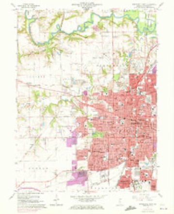
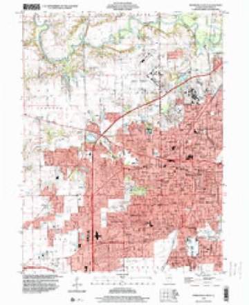
19 topographic sheets cover this place, the earliest surveyed in 1907 and the latest in 1998. It stands in Capital Township. It lies in ZIP code area 62703. The Survey maps it on the Springfield West quadrangle.
Topographic sheets covering this place
9 surveys from 19 printed sheetsMatched by testing this settlement's coordinate against the published boundary of every sheet in the United States Geological Survey's historical collection. Each opens the scanned sheet at the Survey.
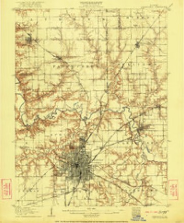
- 1907 USGS Springfield quadrangle1:62500, 2 printings
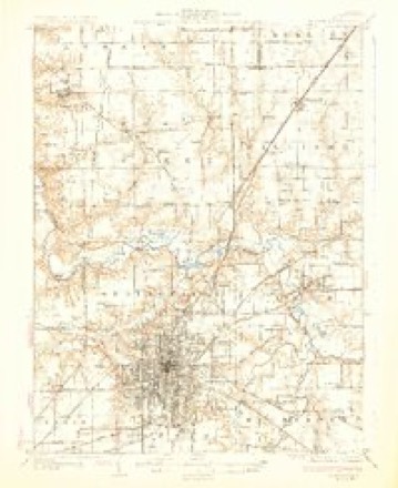
- 1930 USGS Springfield quadrangle1:62500, 3 printings
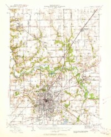
- 1940 USGS Springfield quadrangle1:62500, 2 printings
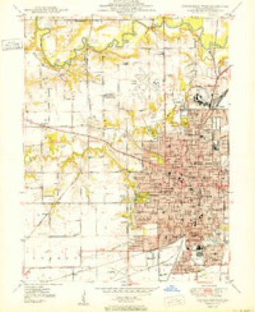
- 1950 USGS Springfield West quadrangle1:24000
- 1958 USGS Decatur quadrangle1:250000, 3 printings
- 1961 USGS Decatur quadrangle1:250000, 2 printings
- 1965 USGS Springfield West quadrangle1:24000, 3 printings
- 1985 USGS Springfield quadrangle1:100000, 2 printings
- 1998 USGS Springfield West quadrangle1:24000



In the county-history sources
9,795 words on this townshipHistory of Sangamon County, Illinois; Together with Sketches of Its Cities, Villages and Townships ... Portraits of Prominent Persons, and Biographies of Representative Citizens. History of Illinois, published 1881 has no passage naming this settlement, which was common for smaller places. Its township is covered in full.
The chapter on Capital Township covers the township.
Read the chapter on Capital Township - 9,795 words.
Mines and quarries near this place
6 within 5 milesRegional context, not property-specific evidence. The federal mineral resources record lists 6 workings within 5 miles of Mildred: 4 past producers, 1 occurrence, 1 prospect. None of them still produces. What was taken out: Stone, Crushed/Broken, Fire Clay (Refractory), Clay, Sand and Gravel, Construction. Distance is straight-line from the map coordinates, so a quarry counted here may appear on a neighbouring settlement's page as well.
| Where | Site | Commodity | Status | Recorded |
|---|---|---|---|---|
| Poston Brick & Concrete Prod. Clay | Clay | Prospect | ||
| Springfield Clay Prod.Co.Pitclay | Fire Clay (Refractory) | Past Producer | ||
| Springfield Pit Solomon Service | Sand and Gravel, Construction | Past Producer | ||
| Limestone Prospect | Stone, Crushed/Broken | Occurrence | ||
| Sangamon County Highway Department | Stone, Crushed/Broken | Past Producer | ||
| Springfield City Eng. | Stone, Crushed/Broken | Past Producer |
Storms near this place
13 since 2008Regional context, not property-specific evidence. The National Weather Service names Mildred in 13 storm reports between 2008 and 2025: 10 thunderstorm wind, 2 hail, 1 lightning. No death or injury is recorded in these reports. Each account below is quoted exactly as the forecast office filed it, from the NOAA Storm Events Database, and each date opens the federal record of that event.
| When | Event | Place named | Harm | What the report says |
|---|---|---|---|---|
| July 2016 | Thunderstorm Wind | Mildred | $90,000 | Numerous large trees and tree branches were blown down across western and northwestern sections of Springfield. Some of the trees downed power lines and blocked roads. The top of a 40-foot tall tree was snapped off at a residence. |
| June 2018 | Thunderstorm Wind | Mildred | $30,000 | Numerous tree limbs were blown down. |
| August 2009 | Lightning | Mildred | $30,000 | A house in the city of Springfield was struck by lightning, which caused a fire in the upper level of the structure. Four people were in the house, but they all escaped without injury. The damage was confined to the attic and rooms on the second floor of the house. |
| July 2016 | Thunderstorm Wind | Mildred | $10,000 | Numerous small tree branches were blown down. |
| May 2013 | Thunderstorm Wind | Mildred | $3,000 | A small shed was destroyed near the intersection of Ash and MacArthur. |
| May 2025 | Thunderstorm Wind | Mildred | - | Power poles were broken and power lines were blown down in the Harvard Park neighborhood. |
| August 2021 | Thunderstorm Wind | Mildred | - | A large tree limb was blown down on the north side of the interstate. |
| May 2019 | Thunderstorm Wind | Mildred | - | Power poles were bent and several tree branches were blown down at Chatham Road and Veteran's Parkway. |
| May 2017 | Thunderstorm Wind | Mildred | - | A 6-inch diameter tree limb was blown down near Panera Bread. |
| June 2017 | Thunderstorm Wind | Mildred | - | A 6 to 8-inch diameter tree limb was blown down. |
| May 2015 | Hail | Mildred | - | no account filed |
| March 2012 | Hail | Mildred | - | no account filed |
| May 2008 | Thunderstorm Wind | Mildred | - | no account filed |
Nearest settlements
The eight closest, with where each one stands in the county. Distances are straight-line, computed from the Geographic Names Information System coordinates.
| Map | Place | Distance | Sheets |
|---|---|---|---|
| Southlawn | 0.9 miles | 20 | |
| Southern View | 1.1 miles | 19 | |
| Iles | 1.2 miles | 19 | |
| Shale Bluff | 1.6 miles | 20 | |
| Hawthorne Place | 1.7 miles | 19 | |
| Jess | 1.8 miles | 19 | |
| West Grand Place | 2.0 miles | 19 | |
| East Springfield | 2.5 miles | 19 |
Provenance
This settlement is recorded in the Geographic Names Information System as feature 1747312. The sheet list is computed by point-in-boundary test against the United States Geological Survey's historical topographic inventory. Both are works of the United States government and carry no copyright under 17 U.S.C. 105.
Mines and quarries. USGS Mineral Resources Data System (MRDS) https://mrdata.usgs.gov/mrds/ A work of the United States government, no copyright under 17 U.S.C. 105.
Storms. NOAA National Centers for Environmental Information, Storm Events Database https://www.ncei.noaa.gov/stormevents/ A work of the United States government, no copyright under 17 U.S.C. 105. Narratives are quoted verbatim from the National Weather Service report and are not edited or summarised.