 Block
Millstadt, Illinois
18 topographic sheets cover this place, the earliest surveyed in 1910 and the latest in 1990. It stands in Millstadt Township. It lies in ZIP code area 62260. The Survey maps it on the Millstadt quadrangle. 4,071 people lived here at the 2020 count. It stands 617 feet above sea level.
Population over time
2 figuresMillstadt grew from 4,011 to 4,071 between 2010 and 2020. These are the recorded population figures Wikidata holds for this place, reached through the Geographic Names Information System number this page is keyed on rather than by name, so they belong to this place and not to another of the same name. Most are census counts, but not all are: an early figure may be a founding or settlement estimate, and an estimate published within five years of a census is left out. The change column is computed, and is left blank where more than 20 years separate a figure from the one before it, because a gap that long is not a change between two counts.
| Year | People | Change |
|---|---|---|
| 2010 | 4,011 | |
| 2020 | 4,071 | +60 (+1%) |
Topographic sheets covering this place
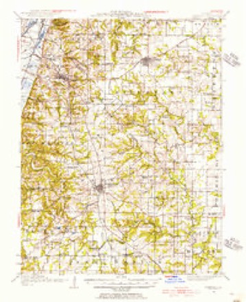
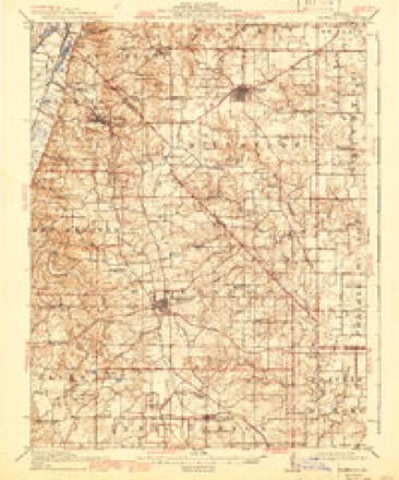
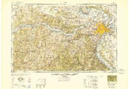
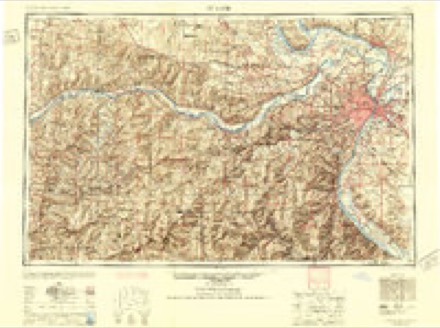
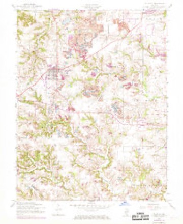
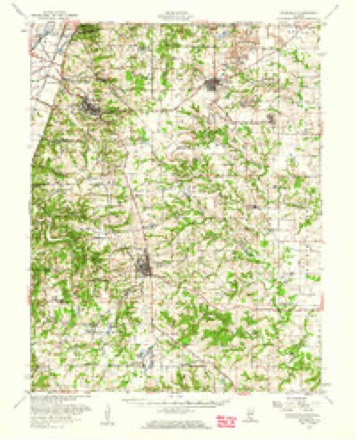
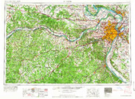
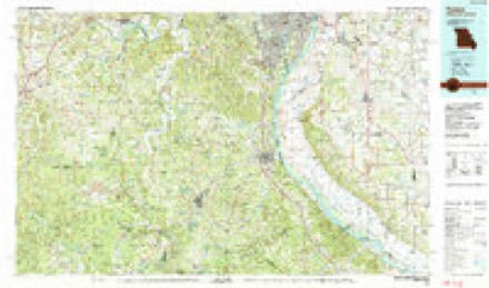
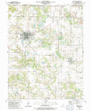
11 surveys from 18 printed sheetsMatched by testing this settlement's coordinate against the published boundary of every sheet in the United States Geological Survey's historical collection. Each opens the scanned sheet at the Survey.
- 1910 USGS Waterloo quadrangle1:62500
- 1913 USGS Waterloo quadrangle1:62500, 3 printings
- 1949 USGS Saint Louis quadrangle1:250000
- 1949 USGS St. Louis quadrangle1:250000
- 1954 USGS Millstadt quadrangle1:24000, 3 printings
- 1955 USGS Waterloo quadrangle1:62500
- 1962 USGS St. Louis quadrangle1:250000
- 1963 USGS St. Louis quadrangle1:250000, 4 printings
- 1966 USGS St. Louis quadrangle1:250000
- 1985 USGS Festus quadrangle1:100000
- 1990 USGS Millstadt quadrangle1:24000
In the county-history sources
11,773 words on this townshipHistory of St. Clair County, Illinois. With Illustrations ... and Biographical Sketches of Some of Its Prominent Men and Pioneers, published 1881 names this settlement in its chapter on Millstadt Township. These are the passages that mention it, exactly as the scans read.
In 1836, Simon Stookey was having a baru built on section four. Several men were lending a helping band, among them Joseph Abend, a bachelor saddler, and Henry Randleman. It was there proposed to Randleman that this would be a most eligible townsite. The matter was talked over. Abend said it was seven miles to Belleville, seven to Columbia, and seven to the lake, and he proposed the name of Centerville for the embryo city. Randleman acted on the suggestion, and on March 13th, 1837, Centerville was platted, forty lots being set apart in section 9, T. 1 S. R. 9 W. To the original site four additions were made, respectively July 15, 1837, sixty lots; October 27, 1842, eleven lots; October 28, 1842, fifty lots, and October 15, 1845, two hundred lots; all in the S. W. i section 9. August 27, 1847, George Heuckler made an addition of seventy-nine lots on W. i S. E. i, same section, followed by another addition, same party, of sixty-nine lots, November 25, 1848. Cornelius Gooding made an addition, north of town, of forty lots, August 1, 1850; James Glass, one of thirty-six lots, August 1, 1850. James Glass et al. addition of twenty blocks, March 25, 1852 : George Hencklcr, addition on the W. J N. E. \, section 16, and Joseph Kopp, addition, August 21, 1860, of thirty lots. Thus, from time to time, ample provision was made to accommodate the growth of the town. The name Centerville was retained until the year 1880, when the Board of Trustees, after giving thirty days' notice wherein to ofier any remonstrance, changed the name to that of the post-office Millstadt.
Passage source: History of St. Clair County, Illinois. With Illustrations ... and Biographical Sketches of Some of Its Prominent Men and Pioneers, published 1881.
Prominent among the enterprises of Millstadt, in fact the most important in the town, are two extensive merchant mills. That now owned by Becker and Sterns was first built in 1857-8, by Franz Baur. The present proprietors have added to its original capacity, by putting in a new Corliss engine, and erecting an elevator attachment, with a capacity of storing 40,000 bushels. The mill is provided with five run of stone, and can turn out 32.5 barrels of flour per day. Edward Schoening is Manager, and Chas. Jacobs, Clerk.
Passage source: History of St. Clair County, Illinois. With Illustrations ... and Biographical Sketches of Some of Its Prominent Men and Pioneers, published 1881.
Tais gentleman, who is now practicing medicine near Millstadt, is a native of Nassau, and was born at Naunstadt am Usingen, April 1st, 1838. His parents were John William Saltenberger and Elizabeth Miller. He was the third of seven children. In the year 1847 his father emigrated with the family to America. Landing at New Orleans, they came up the Mississippi to St. Louis, and after living in that city about a mouth, came to St. Clair county, where his father bought a farm of ninety-nine acres, a mile and a half south of Millstadt, where he lived till his death on the 18th of May, 1877. Dr. Saltenberger was about nine years old when the family left Germany. In the year 1858, at the age of twenty, he began the study of medicine with Dr. Peter Brower, at Millstadt. He afterward pursued the study of Latin under Dr. Gander of Waterloo, Monroe county, and was under his instruction at the time of the breaking out of the war of the rebellion. He went to St. Louis, and in April, 1861, enlisted in Co. H, of the 4th Missouri regiment. He took part in the capture of Camp Jackson, St. Louis ; was afterward stationed at Bird's Point, Mo. ; then at Cairo ; and then returned to St. Louis, where he remained till the expiration of his term of service, with the exception of making an expedition to central Missouri.
Passage source: History of St. Clair County, Illinois. With Illustrations ... and Biographical Sketches of Some of Its Prominent Men and Pioneers, published 1881.
Machine-read from a century-old scan, so expect the errors a machine makes: misspelled names, dropped words, stray characters.
Read the whole chapter on Millstadt Township - it names this place 16 more 16 times.
Mines and quarries near this place
1 within 5 milesRegional context, not property-specific evidence. The federal mineral resources record lists 1 working within 5 miles of Millstadt: 1 past producer. None of them still produces. What was taken out: Stone, Crushed/Broken. Distance is straight-line from the map coordinates, so a quarry counted here may appear on a neighbouring settlement's page as well.
| Where | Site | Commodity | Status | Recorded |
|---|---|---|---|---|
| Columbia Quarry No. 2 | Stone, Crushed/Broken | Past Producer |
Storms near this place
25 since 1994Regional context, not property-specific evidence. The National Weather Service names Millstadt in 25 storm reports between 1994 and 2022: 11 hail, 9 thunderstorm wind, 3 flash flood, 2 tornado. The reports record 2 injuries. Each account below is quoted exactly as the forecast office filed it, from the NOAA Storm Events Database, and each date opens the federal record of that event.
| When | Event | Place named | Harm | What the report says |
|---|---|---|---|---|
| June 2000 | Tornado (F1) | Millstadt | 2 hurt | At approximately 240 pm CDT, a tornado formed west northwest of Millstadt near the intersection of Bluffside and Metter Roads. Several large trees were downed and a cattle barn extensively damaged. The tornado moved east northeast causing mainly tree and power line damage and then turned more east entering the Triple Lakes Golf Club. One home, 2 large utility buildings and the clubhouse suffered varying degrees of damage. The tornado became multiple vortex in nature at this point producing 2 distinct damage paths. Numerous large trees were uprooted or downed while the tornado continued through the golf course. The tornado continued on an east path downing trees and power lines, crossing Route 163 to about 2 1/4 miles northeast of Millstadt and dissipating. There were 2 minor injuries that occurred while the tornado went through the golf course. A man suffered a back injury when the golf cart he was riding in overturned. Another man suffered minor injuries from flying debris. |
| June 1997 | Thunderstorm Wind | Millstadt | $10,000 | Wind gusts estimated at 70 mph downed trees and some power poles. |
| May 1995 | Tornado (F0) | Millstadt | $4,300 | A tornado touched down briefly damaging one outbuilding and knocking down several large trees. |
| July 2022 | Thunderstorm Wind | Millstadt | $3,000 | Thunderstorm winds blew down a large tree limb and a small section of backyard fence. |
| April 1999 | Thunderstorm Wind | Millstadt | $2,000 | no account filed |
| April 1994 | Hail | Millstadt | $500 | Dime-size hail was reported along with wind gusts to 40 mph in Dupo. Trees were also blown down in Floraville damaging several homes while one-inch hail was reported in Millstadt. |
| August 2020 | Flash Flood | Millstadt | - | Up to 4 inches of rain fell in a short amount of time causing flash flooding. Several roads were flooded including Illinois State Route 159 near the creek that flows under it just south of Smithton. |
| September 2018 | Flash Flood | Millstadt | - | Up to five inches of rain fell in a short amount of time causing flash flooding across St. Clair County. Numerous roads were flooded including Illinois Route 159 through Smithton. Up to 15 water rescues had to be performed in the Cahokia and Belleville/Swansea areas. No injuries were reported. |
| July 2015 | Thunderstorm Wind | Millstadt | - | Thunderstorm winds snapped a few trees off and a shed sustained minor roof damage near the intersection of Illinois Route 158 and Triple Lakes Road. |
| January 2012 | Thunderstorm Wind | Millstadt | - | Thunderstorm winds blew down several power lines in town. |
| June 2009 | Flash Flood | Millstadt | - | Up to three inches of rain fell in a short amount of time causing flash flooding. Six inches of water was flowing over the intersection of Illinois Routes 177 and 4 in Mascoutah. Also, several roads in the Smithton area were flooded. |
| June 2009 | Thunderstorm Wind | Millstadt | - | Thunderstorm winds blew down several power lines and large tree limbs around town. |
| April 2006 | Thunderstorm Wind | Millstadt | - | Local law enforcement reported some trees and power lines down. |
| April 2002 | Hail | Millstadt | - | Amateur radio spotters reported 3/4 inch hail. |
| April 1998 | Hail | Millstadt | - | 1 inch hail was reported in Millstadt. |
| May 2019 | Hail | Millstadt | - | no account filed |
| May 2016 | Hail | Millstadt | - | no account filed |
| March 2012 | Hail | Millstadt | - | no account filed |
| May 2010 | Hail | Millstadt | - | no account filed |
| April 2007 | Hail | Millstadt | - | no account filed |
| April 2006 | Hail | Millstadt | - | no account filed |
| June 2002 | Thunderstorm Wind | Millstadt | - | no account filed |
| April 2000 | Hail | Millstadt | - | no account filed |
| April 2000 | Hail | Millstadt | - | no account filed |
| April 1999 | Thunderstorm Wind | Millstadt | - | no account filed |
Nearest settlements
The eight closest, with where each one stands in the county. Distances are straight-line, computed from the Geographic Names Information System coordinates.
| Map | Place | Distance | Sheets |
|---|---|---|---|
| Roachtown | 2.7 miles | 18 | |
| Rodemich | 2.8 miles | 20 | |
| Darmstadt (historical) | 2.9 miles | 20 | |
| Bohleysville | 3.5 miles | 18 | |
| Bluffside | 3.7 miles | 20 | |
| Imbs | 4.9 miles | 27 | |
| Westview | 5.2 miles | 21 | |
| Crest Hill | 5.4 miles | 21 |
Elsewhere
Matched on this settlement's Geographic Names Information System number rather than its name, so it cannot be a different place of the same name in another state.
| Wikipedia article on Millstadt | An encyclopaedic summary. Its text is share-alike, so it is linked here rather than copied. |
| Wikidata item Q426719 | The structured record the population and elevation above come from. Public domain (CC0). |
Provenance
This settlement is recorded in the Geographic Names Information System as feature 426434. The sheet list is computed by point-in-boundary test against the United States Geological Survey's historical topographic inventory. Both are works of the United States government and carry no copyright under 17 U.S.C. 105.
Mines and quarries. USGS Mineral Resources Data System (MRDS) https://mrdata.usgs.gov/mrds/ A work of the United States government, no copyright under 17 U.S.C. 105.
Storms. NOAA National Centers for Environmental Information, Storm Events Database https://www.ncei.noaa.gov/stormevents/ A work of the United States government, no copyright under 17 U.S.C. 105. Narratives are quoted verbatim from the National Weather Service report and are not edited or summarised.