 Block
Minooka, Illinois
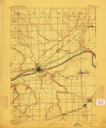
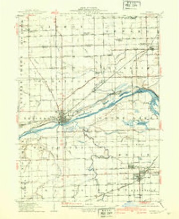
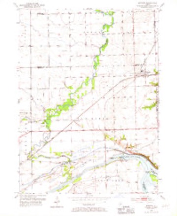
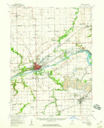
19 topographic sheets cover this place, the earliest surveyed in 1892 and the latest in 1993. It stands in Aux Sable Township. It lies in ZIP code area 60447. The Survey maps it on the Minooka quadrangle.
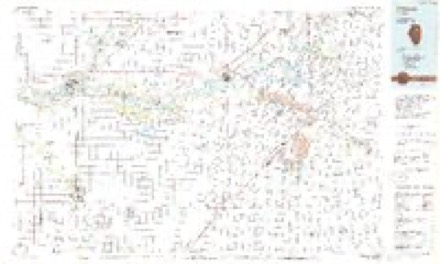
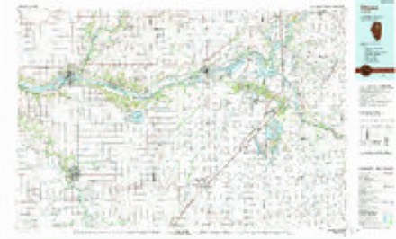
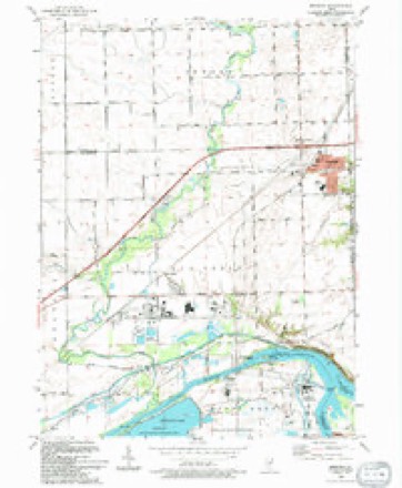
Topographic sheets covering this place
9 surveys from 19 printed sheetsMatched by testing this settlement's coordinate against the published boundary of every sheet in the United States Geological Survey's historical collection. Each opens the scanned sheet at the Survey.
- 1892 USGS Morris quadrangle1:62500, 3 printings
- 1918 USGS Morris quadrangle1:62500, 3 printings
- 1954 USGS Minooka quadrangle1:24000, 4 printings
- 1954 USGS Morris quadrangle1:62500, 2 printings
- 1958 USGS Aurora quadrangle1:250000, 3 printings
- 1961 USGS Aurora quadrangle1:250000
- 1985 USGS Ottawa quadrangle1:100000
- 1991 USGS Ottawa quadrangle1:100000
- 1993 USGS Minooka quadrangle1:24000


In the county-history sources
10,730 words on this townshipHistory of Grundy County, Illinois : Containing a History from the Earliest Settlement to the Present Time ... , Biographical Sketches, Portraits of Some of the Early Settlers, Prominent Men, Etc, published 1882 names this settlement in its chapter on Aux Sable Township. These are the passages that mention it, exactly as the scans read.
America, landing in New York in the spring of that year. He lived in New York about one year, then came to Pike County, Ind., where he lived until the fall of 1851, when he came to this township, and, for about six years, rented land, after which he made a purchase of eighty acres of unimproved land, paying for it $9 per acre, and has since added to the same, and now has 160 acres and some timber. In 1851, he married Elizabeth Welch, a native of Kings County, Ireland, daughter of AV^illiam Welch; they have two children - Margaret and Elizabeth; the former is the wife of Peter Briscoe, of this township.
Passage source: History of Grundy County, Illinois : Containing a History from the Earliest Settlement to the Present Time ... , Biographical Sketches, Portraits of Some of the Early Settlers, Prominent Men, Etc, published 1882.
WILLI.VM CO-MERFORD. Minooka, was born in this township September 15, 1859, eldest son of Pierce and nephaw of George Comerford, of thifi township. Pierce Comerford was born January, 1828, in County Wexford, Ireland, and came to this country with his father, William, at the time of his settlement here. He settled on land given him by his father, and engaged in farming on Section 2, in this township, and remained on the farm until his death, which occurred in January, 18(38. His widow yet survives him and resides on the homestead. She was born in County Kildare, Ireland, in 1S32, daughter of Dennis Dempsey; she came to this county in 1855. To Pierce Comerford was born William, Honora. Nicholas, Mary E. and Anna, all residents of this township, living on the homestead of which William has had charge since 1881. February 11, 1881, he married Katie Kinney, who was born in Morris July 26, 1860, daughter of Patrick Kinney. They have one child - Mary E.
Passage source: History of Grundy County, Illinois : Containing a History from the Earliest Settlement to the Present Time ... , Biographical Sketches, Portraits of Some of the Early Settlers, Prominent Men, Etc, published 1882.
County. Iowa, at a place called Denmai-k, where he worked in a cheese factory. In September, 1855, he came to this State and township, and engaged as a farm hand in the employ of R. Gai-diner for one year, after which ho worked on a railroad section c«ie year: then was switchman two years, after which he was in charge of the section as foreman on the railroad for three years. August 29, 1802, he enlisted as private in Company D, Fourth Illinois Cavalry, and served until the close of the war; was advanced to Corporal, then to Sergeant, and participated in many of the stirring and thrilling engagements of the wai-, and was at times Orderly on Gens. Grant's, McPherson's and Thomas K, Smith's sta£f. After his discharge, in May, 1865, he retm-ned to this place and resumed work for the railroad company, as switchman and baggageman, until the spring of 1867, when he engaged as clerk for Daniel Ferguson, one year after which he was appointed night storekeeper in the Au Sable distillery. In 1868, Daniel Ferguson having resigned as Postmaster, Mr. Dahlem was appointed in his stead and engaged in the grocery business, afterward adding dry goods. October 9, 1870, he was burned out, but rebuilt and as sociated in business with his nephew, Adam Stauffer, under the firm name of Dahlem & Staufifer, which copartnership lasted three years, when, owing to ill health, he sold out his interest to Samuel Persells, but retained the post office, where he continued. In August, 1876, he engaged with William Shepley, in general merchandise business, which association has since been kept up, the firm name being Dahlem & Shepley, the post office being still kept by Mr. Dahlem; he has been twice married - first, in 1854, to Susan Webber, daughter of John and Mary (Ruth) Webber; she died August 13, 1862, leaving one child - Jacob J. ; his present wife is Mary Staufi'er, daughter of Jacob and Catharine Stauffer; they were married October 28, 1805, and four children have blessed this union - Adam, Katie, Daniel and Mary. Mr. Dahlem has a snug home, a good business and is well and favorably known throughout the entire county. He is a member of the Minooka Lodge, No. 528, A., F. & A. M., and served several years as the Worshipful Master of that lodge; is also a member of the Chapter at Morris, and of the Commandery at that place. Has always been a stanch Republican.
Passage source: History of Grundy County, Illinois : Containing a History from the Earliest Settlement to the Present Time ... , Biographical Sketches, Portraits of Some of the Early Settlers, Prominent Men, Etc, published 1882.
Machine-read from a century-old scan, so expect the errors a machine makes: misspelled names, dropped words, stray characters.
Read the whole chapter on Aux Sable Township - it names this place 30 more 30 times.
Fires near this place
5 since 2019Regional context, not property-specific evidence. The federal wildfire occurrence database lists 5 fires within 5 miles of Minooka in 2019, burning about 7 acres in total. None started naturally. None was recorded as arson. Distance is straight-line from the map coordinates, so a fire counted here may appear on a neighbouring settlement's page as well.
| Reported cause | Fires |
|---|---|
| Missing data/not specified/undetermined | 4 |
| Smoking | 1 |
The most recent of them, most recent first, with the day each was reported and the service that recorded it.
| Date | Cause | Size | Reported by | Name on the report |
|---|---|---|---|---|
| 25 August 2019 | Missing data/not specified/undetermined | under an acre | Illinois Division of Forestry Resources | 19-1607 |
| 7 June 2019 | Smoking | under an acre | Illinois Division of Forestry Resources | 19-1027 |
| 1 June 2019 | Missing data/not specified/undetermined | 5.0 acres | Illinois Division of Forestry Resources | 19-0976 |
| 8 April 2019 | Missing data/not specified/undetermined | under an acre | Illinois Division of Forestry Resources | 19-0639 |
| 3 April 2019 | Missing data/not specified/undetermined | under an acre | Illinois Division of Forestry Resources | 19-0604 |
Settlements close enough to share some of these fires:
Mines and quarries near this place
10 of 13 shownRegional context, not property-specific evidence. The federal mineral resources record lists 13 workings within 5 miles of Minooka: 5 producers, 4 occurrences, 2 unknowns, 2 past producers. 5 still produce. What was taken out: Stone, Crushed/Broken, Clay, Sand and Gravel, Construction, Fire Clay (Refractory). Distance is straight-line from the map coordinates, so a quarry counted here may appear on a neighbouring settlement's page as well.
| Where | Site | Commodity | Status | Recorded |
|---|---|---|---|---|
| Grundy Area Fire Clay | Clay, Aluminum, Iron, Silica, Titanium | Producer | 1970 | |
| Northern Illinois Area Fireclay | Fire Clay (Refractory) | Unknown | 1844 | |
| Northern Illinois Area Fireclay | Titanium, Aluminum, Iron, Silica | Unknown | ||
| Vicks Quarry | Sand and Gravel, Construction, Stone, Crushed/Broken | Producer | ||
| Brown & Lambrecht Clay Pit | Clay | Past Producer | ||
| Morris Plant & Pit | Clay | Producer | ||
| Pit Number 1 | Sand and Gravel, Construction | Past Producer | ||
| Star Sand & Gravel | Sand and Gravel, Construction | Producer | ||
| Termar Pit No. 2 | Sand and Gravel, Construction | Producer | ||
| Limestone Prospect | Stone, Crushed/Broken | Occurrence |
Storms near this place
26 since 1995Regional context, not property-specific evidence. The National Weather Service names Minooka in 26 storm reports between 1995 and 2025: 12 thunderstorm wind, 6 hail, 2 tornado, 2 lightning. No death or injury is recorded in these reports. Each account below is quoted exactly as the forecast office filed it, from the NOAA Storm Events Database, and each date opens the federal record of that event.
| When | Event | Place named | Harm | What the report says |
|---|---|---|---|---|
| April 2011 | Hail | Minooka | $100,000 | A severe thunderstorm produced widespread hail up to the size of golf balls across Minooka and surrounding areas including Interstate 80 and Ridge Road. |
| April 2004 | Tornado (F0) | Minooka | $76,000 | The tornado struck an industrial complex. A wastewater treatment building was destroyed, walls were blown out and structural beams were bent, at Tabler Road, south of Route 6. There was damage to overhead doors and an air handling unit was torn from a roof of a building on the east side of Tabler Road. Further east there was damage to walls and roof of an outbuilding. Antennas was blown down at the fire station on Route 6. |
| June 2013 | Thunderstorm Wind | Minooka | $60,000 | Two semi trucks were blown over on Interstate 80 near Ridge Road. A tree was blown onto a house in Minooka. |
| July 1999 | Thunderstorm Wind | Minooka | $50,000 | Two miles west of Minooka downed trees destroyed three manufactured homes, damaged several other homes , and caused extensive damage to a number of vehicles. |
| August 2008 | Thunderstorm Wind | Minooka | $25,000 | The roof of a storage building collapsed on Mondamin Street. |
| June 1995 | Thunderstorm Wind | Minooka | $15,000 | Trees were downed and there was some structural damage from thunderstorm winds. |
| July 2012 | Thunderstorm Wind | Minooka | $10,000 | Trees and tree limbs were blown down on the north side of Minooka. One small tree fell onto a house. The roof was torn off a baseball dugout and part of a cinder block wall fell at the Minooka Elementary School. An old fence was uprooted and fell onto a police car at the municipal building. |
| August 2006 | Lightning | Minooka | $10,000 | Lightning struck a car on Interstate 80 near Minooka. |
| July 2025 | Thunderstorm Wind | Minooka | - | A photo showed a large tree blown down on a house in Minooka and another photo showed a snapped tree elsewhere in Minooka. |
| July 2024 | Thunderstorm Wind | Minooka | - | Tree damage was reported southwest of Minooka. |
| July 2023 | Tornado (EF0) | Minooka | - | This tornado initially touched down near the Minooka Primary Center and tracked east, roughly along and just north of East Church Street. The most significant damage occurred at the Apostolic Church on Church Street where winds appeared to have lifted about one quarter of the south-facing portion of the roof above an open archway. This damage appeared to be consistent with high-end EF-0 winds. A concentrated corridor of tree damage was then noted between East Church Street and East Coady Drive. This tornado continued to the east-northeast, crossing into Will County just north of E Church St. before moving across the Lake Chaminwood Preserve and I-55 at Canal Road. Several large trees were uprooted at Crane Composites as the tornado crossed US Route 6. This tornado appeared to have lifted over the Des Plaines River east of Cavalea Dr. |
| August 2021 | Thunderstorm Wind | Minooka | - | A large tree was blown down. |
| September 2021 | Thunderstorm Wind | Minooka | - | Widespread tree damage occurred across much of Minooka. Some of the trees fell onto structures and houses causing roof damage. Tractor trailers were overturned at a cold storage facility. The damage was consistent with wind gusts to around 85 mph. |
| September 2021 | Thunderstorm Wind | Minooka | - | Approximately one quarter mile of wooden fence was blown down. Part of a metal fence was blown down just north of this area. |
| June 2015 | Flash Flood | Minooka | - | Numerous roads were flooded and closed across Minooka and Morris, as well as other portions of northern Grundy County. |
| August 2014 | Hail | Minooka | - | Half dollar size hail was reported on Industrial Drive. |
| May 2009 | Flood | Minooka | - | Five inches of flowing water was reported on County Line Road between Holt Road and US 52. |
| July 2006 | Funnel Cloud | Minooka | - | A funnel cloud was reported near Route 52 and Ridge Road. |
| May 2004 | Lightning | Minooka | - | A structure fire was reported in Shady Oaks trailer park. |
| June 2004 | Flash Flood | Minooka | - | Officials reported flooding on Interstate 80 near Ridge Road. |
| October 2000 | Thunderstorm Wind | Minooka | - | Tree limbs and power lines were blown down. |
| June 2019 | Hail | Minooka | - | no account filed |
| June 2015 | Hail | Minooka | - | no account filed |
| June 2015 | Hail | Minooka | - | no account filed |
| June 2013 | Hail | Minooka | - | no account filed |
| August 2011 | Thunderstorm Wind | Minooka | - | no account filed |
Nearest settlements
The eight closest, with where each one stands in the county. Distances are straight-line, computed from the Geographic Names Information System coordinates.
| Map | Place | Distance | Sheets |
|---|---|---|---|
| Sand Ridge | 4.1 miles | 19 | |
| Divine | 5.1 miles | 19 | |
| Aux Sable | 5.5 miles | 19 | |
| Ridgecrest | 8.2 miles | 18 | |
| Saratoga | 9.0 miles | 18 | |
| Claypool | 10.1 miles | 18 | |
| Gaslight Village | 10.3 miles | 18 | |
| Lisbon North | 10.4 miles | 18 |
Provenance
This settlement is recorded in the Geographic Names Information System as feature 413659. The sheet list is computed by point-in-boundary test against the United States Geological Survey's historical topographic inventory. Both are works of the United States government and carry no copyright under 17 U.S.C. 105.
Wildfire. Short, Karen C. 2022. Spatial wildfire occurrence data for the United States, 1992-2020 [FPA_FOD_20221014]. 6th Edition. Fort Collins, CO: Forest Service Research Data Archive. https://doi.org/10.2737/RDS-2013-0009.6 Collected with United States Government funding and usable without additional permissions or fees.
Mines and quarries. USGS Mineral Resources Data System (MRDS) https://mrdata.usgs.gov/mrds/ A work of the United States government, no copyright under 17 U.S.C. 105.
Storms. NOAA National Centers for Environmental Information, Storm Events Database https://www.ncei.noaa.gov/stormevents/ A work of the United States government, no copyright under 17 U.S.C. 105. Narratives are quoted verbatim from the National Weather Service report and are not edited or summarised.