 Block
New Salem, Illinois
12 topographic sheets cover this place, the earliest surveyed in 1926 and the latest in 1998. It stands in New Salem Township. It lies in ZIP code area 62357. The Survey maps it on the New Salem quadrangle. 121 people lived here at the 2020 count. It stands 784 feet above sea level.
Population over time
2 figuresNew Salem fell from 137 to 121 between 2010 and 2020. These are the recorded population figures Wikidata holds for this place, reached through the Geographic Names Information System number this page is keyed on rather than by name, so they belong to this place and not to another of the same name. Most are census counts, but not all are: an early figure may be a founding or settlement estimate, and an estimate published within five years of a census is left out. The change column is computed, and is left blank where more than 20 years separate a figure from the one before it, because a gap that long is not a change between two counts.
| Year | People | Change |
|---|---|---|
| 2010 | 137 | |
| 2020 | 121 | -16 (-12%) |
Topographic sheets covering this place
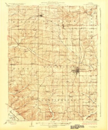
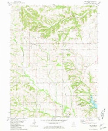
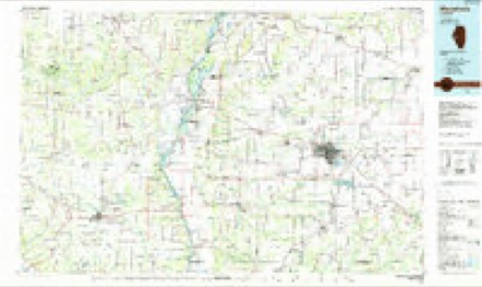
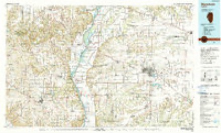
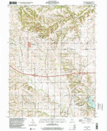
7 surveys from 12 printed sheetsMatched by testing this settlement's coordinate against the published boundary of every sheet in the United States Geological Survey's historical collection. Each opens the scanned sheet at the Survey.
- 1926 USGS Pittsfield quadrangle1:62500, 3 printings
- 1948 USGS Quincy quadrangle1:250000, 2 printings
- 1956 USGS Quincy quadrangle1:250000, 3 printings
- 1981 USGS New Salem quadrangle1:24000
- 1985 USGS Meredosia quadrangle1:100000
- 1990 USGS Meredosia quadrangle1:100000
- 1998 USGS New Salem quadrangle1:24000


In the county-history sources
305 words on this townshipWith The Colors in Pike County, Illinois, published 1920 names this settlement in its chapter on New Salem Township. These are the passages that mention it, exactly as the scans read.
The local Branch of the Red Cross for Precinct 1 of New Salem Township was organized for the village of New Salem in the fall of 1917, The officers elected were as follows: Chairman, Mrs. L. B. Campbell; vice-chairman, S. L. Griggs; secretary, Mrs. Bessie Wyreman; treasurer, Mrs. Jessie Campbell. Mrs. Shaffner was appointed superintendent of the work room with Miss Nettie Laird and Mrs. Leah Hillman. Superintendent of cutting, Mrs. J. B. Norton; assistants, Mrs. John Black, Mrs. Harley Dunham, Miss Emma Hall: work room secretary, Mrs. Clarence Irwin; assistant, Mrs. Grace Woodward. Mrs. Abbie Dean was superintendent of the knitting department, with Mrs. Fidelia Girard and Mrs. Frances Moore as assistants. Mrs. Jessie Campbell was in charge of the buying committee, with Mrs. Lucy Shrigley as assistant. Miss Nellie Dean was appointed to get the knitted sets ready to mail when called for, and also to pack the Christmas boxes.
Passage source: With The Colors in Pike County, Illinois, published 1920.
The work room of the local Branch was the church parlor of the Universalist Church, which was furnished free of charge. New Salem furnished its quota in all calls for hospital supplies, knitted articles and refugee relief garments. As each draft contingent left the county, the local Branch presented each man from New Salem with knitted sweaters and helmets, 21 sets being given out in this way. The money for the yarn was all donated by home people. The greater part of all the war work in New Salem was handled through the Red Cross organization, and the record made in each campaign was very good. The first Y. M. C. A. drive was oversubscribed; the second Red Cross drive was put over the top; the Salvation Army Campaign more than over; the United War Work Campaign away over, and each one of the Five Liberty Loans, and the War Savings campaigns also.
Passage source: With The Colors in Pike County, Illinois, published 1920.
Machine-read from a century-old scan, so expect the errors a machine makes: misspelled names, dropped words, stray characters.
Fires near this place
8 since 2009Regional context, not property-specific evidence. The federal wildfire occurrence database lists 8 fires within 5 miles of New Salem between 2009 and 2014, burning about 82 acres in total. 1 started naturally. None was recorded as arson. Distance is straight-line from the map coordinates, so a fire counted here may appear on a neighbouring settlement's page as well.
| Reported cause | Fires |
|---|---|
| Missing data/not specified/undetermined | 4 |
| Debris and open burning | 3 |
| Natural | 1 |
The most recent of them, most recent first, with the day each was reported and the service that recorded it.
| Date | Cause | Size | Reported by | Name on the report |
|---|---|---|---|---|
| 17 September 2009 | Missing data/not specified/undetermined | 1.0 acres | Illinois Division of Forestry Resources | BOOKER |
| 4 April 2009 | Debris and open burning | 5.0 acres | Illinois Division of Forestry Resources | FESLER |
| 30 March 2014 | Debris and open burning | 21 acres | Illinois Division of Forestry Resources | 140054 |
| 23 March 2013 | Debris and open burning | 2.0 acres | Illinois Division of Forestry Resources | 130021 |
| 21 March 2011 | Missing data/not specified/undetermined | 3.0 acres | Illinois Division of Forestry Resources | HEITZ |
| 17 March 2009 | Missing data/not specified/undetermined | 5.0 acres | Illinois Division of Forestry Resources | WESTFALL |
| 17 March 2009 | Missing data/not specified/undetermined | 45 acres | Illinois Division of Forestry Resources | WASHKO |
| 3 October 2013 | Natural | under an acre | Illinois Division of Forestry Resources | 130059 |
Settlements close enough to share some of these fires:
Mines and quarries near this place
1 within 5 milesRegional context, not property-specific evidence. The federal mineral resources record lists 1 working within 5 miles of New Salem: 1 prospect. None of them still produces. What was taken out: Fire Clay (Refractory). Distance is straight-line from the map coordinates, so a quarry counted here may appear on a neighbouring settlement's page as well.
| Where | Site | Commodity | Status | Recorded |
|---|---|---|---|---|
| Ill.Highway Shale Exposure | Fire Clay (Refractory) | Prospect |
Storms near this place
3 since 2008Regional context, not property-specific evidence. The National Weather Service names New Salem in 3 storm reports between 2008 and 2020: 1 tornado, 1 thunderstorm wind, 1 hail. No death or injury is recorded in these reports. Each account below is quoted exactly as the forecast office filed it, from the NOAA Storm Events Database, and each date opens the federal record of that event.
| When | Event | Place named | Harm | What the report says |
|---|---|---|---|---|
| May 2008 | Tornado (EF1) | New Salem | $5,000 | This tornado formed about 1 mile north of I-72 near mile marker 31. The tornado initially damaged trees, then moved east and destroyed a machine shed about 1/2 mile north of County Roads 1900N and 2800E. Debris from the machine shed was thrown over 1/2 mile to the east and northeast. |
| May 2008 | Thunderstorm Wind | New Salem | $5,000 | Storm spotters reported a machine shed destroyed by thunderstorm winds. |
| June 2020 | Hail | New Salem | - | Wide swath of large hail up to the size of quarters fell. |
Nearest settlements
The eight closest, with where each one stands in the county. Distances are straight-line, computed from the Geographic Names Information System coordinates.
| Map | Place | Distance | Sheets |
|---|---|---|---|
| Maysville | 2.6 miles | 12 | |
| Dutton (historical) | 3.4 miles | 12 | |
| Baylis | 3.5 miles | 12 | |
| New Philadelphia | 5.9 miles | 12 | |
| Griggsville | 6.5 miles | 13 | |
| Hadley | 6.6 miles | 12 | |
| Fishhook | 7.1 miles | 11 | |
| Sunny Hill | 7.1 miles | 13 |
Elsewhere
Matched on this settlement's Geographic Names Information System number rather than its name, so it cannot be a different place of the same name in another state.
| Wikipedia article on New Salem | An encyclopaedic summary. Its text is share-alike, so it is linked here rather than copied. |
| Wikidata item Q1016607 | The structured record the population and elevation above come from. Public domain (CC0). |
Provenance
This settlement is recorded in the Geographic Names Information System as feature 414457. The sheet list is computed by point-in-boundary test against the United States Geological Survey's historical topographic inventory. Both are works of the United States government and carry no copyright under 17 U.S.C. 105.
Wildfire. Short, Karen C. 2022. Spatial wildfire occurrence data for the United States, 1992-2020 [FPA_FOD_20221014]. 6th Edition. Fort Collins, CO: Forest Service Research Data Archive. https://doi.org/10.2737/RDS-2013-0009.6 Collected with United States Government funding and usable without additional permissions or fees.
Mines and quarries. USGS Mineral Resources Data System (MRDS) https://mrdata.usgs.gov/mrds/ A work of the United States government, no copyright under 17 U.S.C. 105.
Storms. NOAA National Centers for Environmental Information, Storm Events Database https://www.ncei.noaa.gov/stormevents/ A work of the United States government, no copyright under 17 U.S.C. 105. Narratives are quoted verbatim from the National Weather Service report and are not edited or summarised.