 Block
Owaneco, Illinois
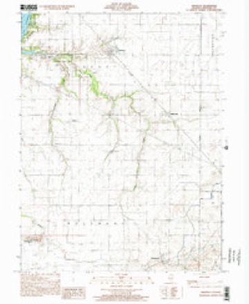
11 topographic sheets cover this place, the earliest surveyed in 1947 and the latest in 1998. It stands in Locust Township. It lies in ZIP code area 62555. The Survey maps it on the Owaneco quadrangle. 209 people lived here at the 2020 count. It stands 617 feet above sea level.
Population over time
2 figuresOwaneco fell from 239 to 209 between 2010 and 2020. These are the recorded population figures Wikidata holds for this place, reached through the Geographic Names Information System number this page is keyed on rather than by name, so they belong to this place and not to another of the same name. Most are census counts, but not all are: an early figure may be a founding or settlement estimate, and an estimate published within five years of a census is left out. The change column is computed, and is left blank where more than 20 years separate a figure from the one before it, because a gap that long is not a change between two counts.
| Year | People | Change |
|---|---|---|
| 2010 | 239 | |
| 2020 | 209 | -30 (-13%) |
Topographic sheets covering this place
7 surveys from 11 printed sheetsMatched by testing this settlement's coordinate against the published boundary of every sheet in the United States Geological Survey's historical collection. Each opens the scanned sheet at the Survey.
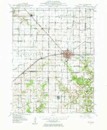
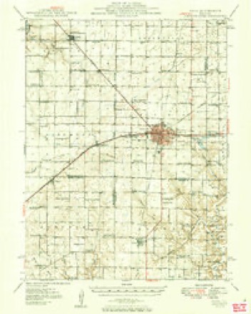
- 1947 USGS Pana quadrangle1:62500
- 1949 USGS Pana quadrangle1:62500, 2 printings
- 1958 USGS Decatur quadrangle1:250000, 3 printings
- 1961 USGS Decatur quadrangle1:250000, 2 printings
- 1982 USGS Litchfield quadrangle1:100000
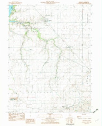
- 1982 USGS Owaneco quadrangle1:24000
- 1998 USGS Owaneco quadrangle1:24000


In the county-history sources
9,180 words on this townshipHistory of Christian County, Illinois, published 1880 names this settlement in its chapter on Locust Township. These are the passages that mention it, exactly as the scans read.
During the fii-st settlement to realize on their corn crops the farmers had to feed it to their stock, which they disposed of annually about Christmas. They would frequently drive their hogs to the St. Louis markets, a distance of about one hundred miles. But with the advent of railroads in this county the order of things was changed. The first lot of hogs shipped by rail was by Dr. U. C. McCoy, Joshua Pepper, and John White, in the winter of 1855-56. They shipped six car-loads at Pana, on the Terre Haute, Alton and St. Louis Railroad, the first that passed over that road after its completion. The first threshing-machine was brought to Christian county by William Hunter in 1855 ; it was a " Marsilon Separator," and attracted much attention in the fiirming community. Its owner had calls for its use from all parts of the county. The old grocery store and saloon was a notable in.stitution on the public road from the county seat to Pana. It was located at an early date, on the north-west corner of section twenty-seven, town twelve, range one, and was a place of great resort for the lovers of foot-races and shooting-matches. As the township increased in population there wa.s a greater demand for postal accommodation. The passing of the tri-weekly stage suggested the idea of a postoffice. It was established in 1857, and was the first one in the township. Judge Yandeveer suggested the name, " Owaneco," whicli was adopted. J. M. Weaver was appointed the first postmaster, :ind the ofliee was kept in a little frame building, near the late residence of Esquire Joseph P. Durbin, on the borders of Locust Creek timber. In the office was kept a few dry goods, groceries, and an ai)undant supply of " tangle-foot." The house was sold at one time by the United States Deputy Marshal for a failure to p:iv Internal Revenue wdiisky tax. The post-office changed hands, and at one time the following amusing incident occurred :
Passage source: History of Christian County, Illinois, published 1880.
In 18(i(i, on the adoption of township organization, this township remained unchanged as to its boundaries. At the election held April 3d, 1866, B. C. Cochran was elected its first supervisor; John W. Hunter and Philip Baker were elected justices of the peace ; and Daniel Orr and David Jarvis, constables, on the 7th of November, 1865. These officers held over till the expiration of the time for which they were elected. The ( ). and M., formerly called the Springfield and S. E. R. R., runs diagonally through the township, entering it on sec. 6 and leaving it on sec. 36. There are two stations in this township on the line of the road, Owaneco and Millersville. That part of the township lying south of Locust Creek forms a part of the territory of what is termed " Buckeye Prairie." It derived its name from a number of emigrants from Ohio, the Buckeye state, settling in this prairie. Its first settler on the Cottonwood Forks was Martin Overholt, in the fall of 1851. He built the first house, and moved into it in an unfinished state, for a time affi)rding only a pretext for shelter from the wintry blasts ; it was situated on the west half of south-west ipiarter section twenty-nine. The house is still standing, and now owned by B. C. Cochran ; it was near the " Buckeye school-house."
Passage source: History of Christian County, Illinois, published 1880.
Dr. Cussins, the present Chairman of the Board of Supervisors, was born in Muskingum county, Ohio, March the 24th, 1851. His grandfather was one of the early settlers of Muskingum county. His father was Samuel Cussins, and his mother's maiden name was Jane Careins. His mother's family had settled at an early date in Ohio, and was connected with the St. Clair family, so that the subject of this sketch was named James St. Clair C. Cussins. He was the next to the youngest of a fiimily of five children. In 1863, his father moved to this state and settled at Decatur, where he died in 1872. The Dr. was in his thirteenth year on coming to Illinois. He laid the foundation of a good education in the public schools of Ohio and of Decatur. In 1869, he entered the Illinois Industrial University, at Champaign, and was a student in that institution for three years. He there, of course, enjoyed excellent educational advantages, and left the University within a few months of the time when he would have graduated. He had begun teaching school at the age of sixteen, and after leaving Champaign he taught school in Macon county for about three years and a half He began the study of medicine with Drs. Moore and Barnes, leading physicians of Decatur, in the year 1873, and afterward entered Rush Medical College at Chicago, from which he graduated in the spring of 1877. During the succeeding summer he practiced in connection with his preceptors at Decatur, and in September, 1877, located at Owaneco, where he has since followed the practice of his profession with merited success. He was married to Miss
Passage source: History of Christian County, Illinois, published 1880.
Machine-read from a century-old scan, so expect the errors a machine makes: misspelled names, dropped words, stray characters.
Read the whole chapter on Locust Township - it names this place 2 more 2 times.
Mines and quarries near this place
1 within 5 milesRegional context, not property-specific evidence. The federal mineral resources record lists 1 working within 5 miles of Owaneco: 1 producer. All of them still produce. What was taken out: Stone, Crushed/Broken. Distance is straight-line from the map coordinates, so a quarry counted here may appear on a neighbouring settlement's page as well.
| Where | Site | Commodity | Status | Recorded |
|---|---|---|---|---|
| Pana Quarry | Stone, Crushed/Broken | Producer |
Storms near this place
11 since 2001Regional context, not property-specific evidence. The National Weather Service names Owaneco in 11 storm reports between 2001 and 2025: 5 thunderstorm wind, 3 tornado, 2 hail, 1 flash flood. No death or injury is recorded in these reports. Each account below is quoted exactly as the forecast office filed it, from the NOAA Storm Events Database, and each date opens the federal record of that event.
| When | Event | Place named | Harm | What the report says |
|---|---|---|---|---|
| March 2009 | Thunderstorm Wind | Owaneco | $40,000 | Several machine shed and outbuilding roofs were damaged. A farm gasoline barrel was blown off its stand. |
| March 2021 | Thunderstorm Wind | Owaneco | $30,000 | Several trees and power lines were blown down. Sheet metal was wrapped around small tree branches. |
| December 2025 | Thunderstorm Wind | Owaneco | - | A tree was blown down. |
| August 2021 | Thunderstorm Wind | Owaneco | - | Several large tree branches up to 3 inches in diameter were blown down. Some of them fell onto houses and vehicles. |
| May 2013 | Tornado (EF0) | Owaneco | - | A tornado touched down in a field 2.4 miles north of Owaneco at 4:41 PM CST. The tornado traveled northward, then lifted 2.9 miles north of Owaneco at East 1200 North Road at 4:42 PM CST. No damage was reported. |
| June 2010 | Tornado (EF0) | Owaneco | - | A tornado briefly touched down in rural Christian County. No damage was reported. |
| July 2010 | Flash Flood | Owaneco | - | Heavy rainfall, with rates of 2.00 per hour, resulted in flash flooding across much of southeast Christian County. The village of Pana had significant street flooding, with the depth of the water around one foot in spots. |
| August 2003 | Tornado (F1) | Owaneco | - | A tornado touched down southwest of Owaneco. It was on the ground for 5 miles. The only damage reported was to the roof of a barn. No injuries were reported. |
| July 2001 | Thunderstorm Wind | Owaneco | - | Two large trees were blown over. |
| April 2025 | Hail | Owaneco | - | no account filed |
| June 2006 | Hail | Owaneco | - | no account filed |
Nearest settlements
The eight closest, with where each one stands in the county. Distances are straight-line, computed from the Geographic Names Information System coordinates.
| Map | Place | Distance | Sheets |
|---|---|---|---|
| Millersville | 2.9 miles | 11 | |
| Velma | 3.0 miles | 10 | |
| Hewittville | 3.9 miles | 10 | |
| Vanderville | 6.8 miles | 13 | |
| Dunkel | 7.0 miles | 11 | |
| Taylorville | 7.1 miles | 12 | |
| Rosamond | 7.3 miles | 11 | |
| Assumption | 8.1 miles | 11 |
Elsewhere
Matched on this settlement's Geographic Names Information System number rather than its name, so it cannot be a different place of the same name in another state.
| Wikipedia article on Owaneco | An encyclopaedic summary. Its text is share-alike, so it is linked here rather than copied. |
| Wikidata item Q2143143 | The structured record the population and elevation above come from. Public domain (CC0). |
Provenance
This settlement is recorded in the Geographic Names Information System as feature 415269. The sheet list is computed by point-in-boundary test against the United States Geological Survey's historical topographic inventory. Both are works of the United States government and carry no copyright under 17 U.S.C. 105.
Mines and quarries. USGS Mineral Resources Data System (MRDS) https://mrdata.usgs.gov/mrds/ A work of the United States government, no copyright under 17 U.S.C. 105.
Storms. NOAA National Centers for Environmental Information, Storm Events Database https://www.ncei.noaa.gov/stormevents/ A work of the United States government, no copyright under 17 U.S.C. 105. Narratives are quoted verbatim from the National Weather Service report and are not edited or summarised.