 Block
Oxville, Illinois
13 topographic sheets cover this place, the earliest surveyed in 1924 and the latest in 1998. It stands in Exeter-Bluffs precinct. It lies in ZIP code area 62621. The Survey maps it on the Florence quadrangle. 24 people lived here at the 2020 count. It stands 466 feet above sea level.
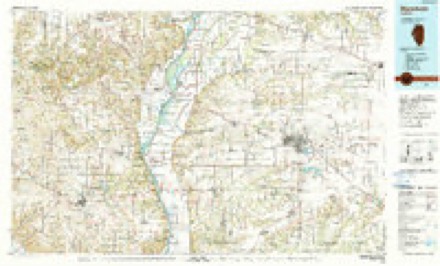
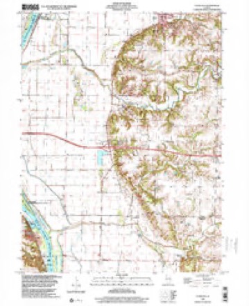
Topographic sheets covering this place
8 surveys from 13 printed sheetsMatched by testing this settlement's coordinate against the published boundary of every sheet in the United States Geological Survey's historical collection. Each opens the scanned sheet at the Survey.
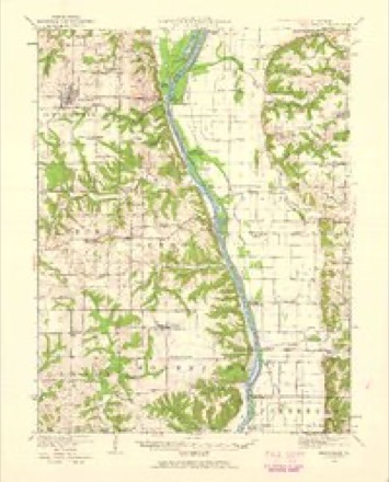
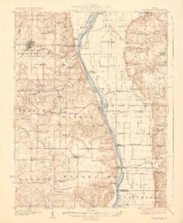
- 1924 USGS Griggsville quadrangle1:62500, 2 printings
- 1926 USGS Griggsville quadrangle1:62500, 2 printings
- 1948 USGS Quincy quadrangle1:250000, 2 printings
- 1956 USGS Quincy quadrangle1:250000, 3 printings
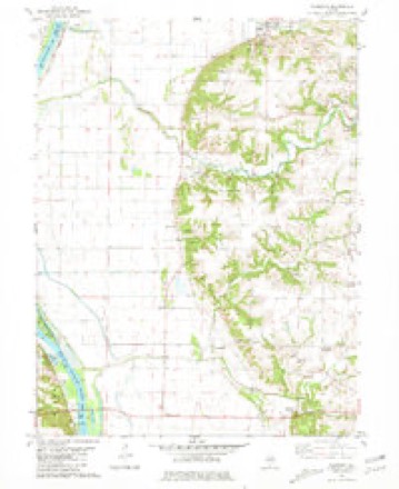
- 1980 USGS Florence quadrangle1:24000
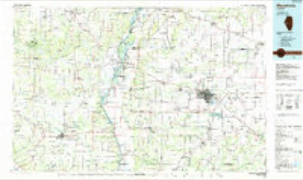
- 1985 USGS Meredosia quadrangle1:100000
- 1990 USGS Meredosia quadrangle1:100000
- 1998 USGS Florence quadrangle1:24000


Mines and quarries near this place
4 within 5 milesRegional context, not property-specific evidence. The federal mineral resources record lists 4 workings within 5 miles of Oxville: 3 past producers, 1 occurrence. None of them still produces. What was taken out: Sand and Gravel, Construction, Stone, Crushed/Broken, Clay. Distance is straight-line from the map coordinates, so a quarry counted here may appear on a neighbouring settlement's page as well.
| Where | Site | Commodity | Status | Recorded |
|---|---|---|---|---|
| Exeter Clay Pit | Clay | Past Producer | ||
| Limestone Prospect | Stone, Crushed/Broken | Occurrence | ||
| Illinois Valley Asphalt Co. Pit | Sand and Gravel, Construction | Past Producer | ||
| Illinois Valley Asphalt Company Pit | Sand and Gravel, Construction | Past Producer |
Storms near this place
9 since 1999Regional context, not property-specific evidence. The National Weather Service names Oxville in 9 storm reports between 1999 and 2023: 3 tornado, 3 thunderstorm wind, 2 flash flood, 1 flood. No death or injury is recorded in these reports. Each account below is quoted exactly as the forecast office filed it, from the NOAA Storm Events Database, and each date opens the federal record of that event.
| When | Event | Place named | Harm | What the report says |
|---|---|---|---|---|
| April 1999 | Tornado (F1) | Oxville | $150,000 | As the tornado crossed the Illinois River from Pike County into Scott County, it caused extensive damage to a residence next to a pump house located near the river, 5 miles southwest of Oxville. The windows on the west side of the house were blown out and the east wall was blown out as well. Shortly after hitting the home the tornado lifted and dissipated. No injuries were reported and the damage was estimated around $150,000. |
| June 2011 | Flash Flood | Oxville | $100,000 | A levee on the Mauvaise Terre Creek near Oxville broke in three places due to rapid streamflow from flooding upstream in Morgan County, and renewed heavy rain. The resulting flooding inundated State Route 100 north of I-72, covered nearly 2,000 acres of crops with water, and closed roads in and out of Oxville. ||An 84 year old woman drove her car into the flood waters of the Mauvaise Terre Creek just before the levees failed. She was rescued and uninjured, but her car was damaged. |
| April 1999 | Tornado (F1) | Oxville | $100,000 | A tornado developed 0.3 of a mile north northwest of Oxville. It took the roof off of a trailer then continued to the northeast. One mile northeast of Oxville, it destroyed a barn and three grain bins. It destroyed numerous trees and caused damage to several barns and silos before lifting and dissipating 3 miles southeast of Bluffs. No injuries were reported and damage was estimated around $100,000. |
| May 2009 | Thunderstorm Wind | Oxville | $8,000 | Powerlines were blown down on Priepot Road. |
| March 2023 | Tornado (EFU) | Oxville | - | A tornado briefly touched down in the Illinois River bottoms about 6.5 miles west-northwest of Winchester at 5:15 PM CDT. No damage was observed. |
| September 2022 | Thunderstorm Wind | Oxville | - | Several tree branches were blown down. |
| May 2011 | Thunderstorm Wind | Oxville | - | A storage shed was destroyed in Oxville. |
| June 2011 | Flood | Oxville | - | Areal flooding continued into the early morning of June 21st due to three levees which broke on the Mauvaise Terre Creek near Oxville early in the morning on June 19th. State Route 100 north of I-72 was impassable, nearly 2,000 acres of crops were covered with water, and west bound roads in and out of Oxville were inundated. The flooding subsided on the roadways shortly after daybreak on June 21st.||See the corresponding Flash Flood entry on June 19th for details about damage amounts from this flood. |
| June 2002 | Flash Flood | Oxville | - | Due to heavy rains in the area, Wolf Run Creek rapidly rose causing flooding in Bluffs. One home had a basement wall cave in and numerous others had water in their basements. One unoccupied car was flooded and destroyed. A set of railroad tracks in town had the soil washed out from underneath them and they had to be repaired. Also, Illinois Route 100 had large amounts of mud and debris washed over it near Oxville and in Bluffs. No injuries were reported. |
Nearest settlements
The eight closest, with where each one stands in the county. Distances are straight-line, computed from the Geographic Names Information System coordinates.
| Map | Place | Distance | Sheets |
|---|---|---|---|
| Bluffs | 3.5 miles | 13 | |
| Exeter | 3.6 miles | 12 | |
| Bloomfield | 3.7 miles | 13 | |
| Naples | 4.4 miles | 13 | |
| Columbus (historical) | 4.7 miles | 13 | |
| Riggston | 7.3 miles | 12 | |
| Winchester | 7.6 miles | 12 | |
| Merritt | 7.7 miles | 12 |
Elsewhere
Matched on this settlement's Geographic Names Information System number rather than its name, so it cannot be a different place of the same name in another state.
| Wikipedia article on Oxville | An encyclopaedic summary. Its text is share-alike, so it is linked here rather than copied. |
| Wikidata item Q7115776 | The structured record the population and elevation above come from. Public domain (CC0). |
Provenance
This settlement is recorded in the Geographic Names Information System as feature 415284. The sheet list is computed by point-in-boundary test against the United States Geological Survey's historical topographic inventory. Both are works of the United States government and carry no copyright under 17 U.S.C. 105.
Mines and quarries. USGS Mineral Resources Data System (MRDS) https://mrdata.usgs.gov/mrds/ A work of the United States government, no copyright under 17 U.S.C. 105.
Storms. NOAA National Centers for Environmental Information, Storm Events Database https://www.ncei.noaa.gov/stormevents/ A work of the United States government, no copyright under 17 U.S.C. 105. Narratives are quoted verbatim from the National Weather Service report and are not edited or summarised.