 Block
Palatine, Illinois
22 topographic sheets cover this place, the earliest surveyed in 1923 and the latest in 1998. It stands in Palatine Township. It lies in ZIP code area 60067. The Survey maps it on the Palatine quadrangle. 67,908 people lived here at the 2020 count. It stands 741 feet above sea level.
On record in Palatine
Buildings and businesses the archive holds for this place. Each opens its own page, with the source record it came from.
On the National Register 2 records
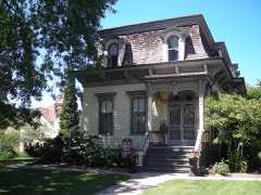 George Clayson Houselisted 1979
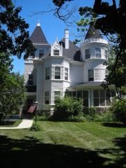 Charles H. Patten Houselisted 2006
Population over time
2 figuresPalatine fell from 68,557 to 67,908 between 2010 and 2020. These are the recorded population figures Wikidata holds for this place, reached through the Geographic Names Information System number this page is keyed on rather than by name, so they belong to this place and not to another of the same name. Most are census counts, but not all are: an early figure may be a founding or settlement estimate, and an estimate published within five years of a census is left out. The change column is computed, and is left blank where more than 20 years separate a figure from the one before it, because a gap that long is not a change between two counts.
| Year | People | Change |
|---|---|---|
| 2010 | 68,557 | |
| 2020 | 67,908 | -649 (-1%) |
Topographic sheets covering this place
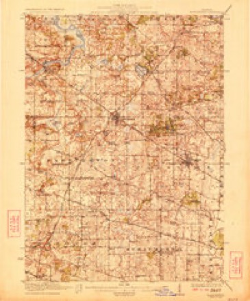
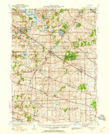
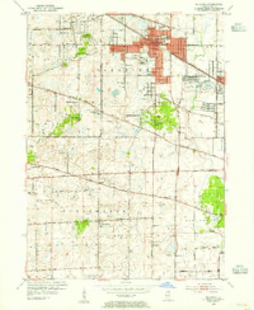
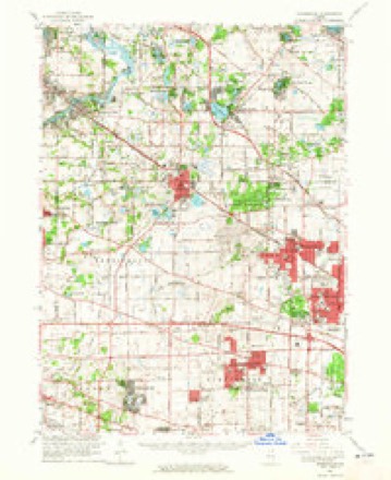
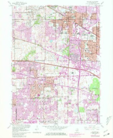
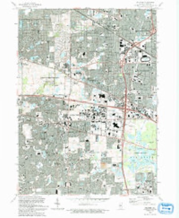
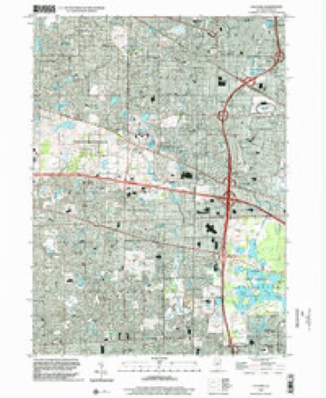
12 surveys from 22 printed sheetsMatched by testing this settlement's coordinate against the published boundary of every sheet in the United States Geological Survey's historical collection. Each opens the scanned sheet at the Survey.
- 1923 USGS Barrington quadrangle1:62500, 4 printings
- 1935 USGS Barrington quadrangle1:62500
- 1953 USGS Palatine quadrangle1:24000
- 1954 USGS Rockford quadrangle1:250000
- 1955 USGS Rockford quadrangle1:250000
- 1958 USGS Rockford quadrangle1:250000, 4 printings
- 1961 USGS Barrington quadrangle1:62500
- 1961 USGS Palatine quadrangle1:24000, 5 printings
- 1963 USGS Rockford quadrangle1:250000
- 1981 USGS Elgin quadrangle1:100000
- 1993 USGS Palatine quadrangle1:24000
- 1998 USGS Palatine quadrangle1:24000





In the county-history sources
10,882 words on this townshipHistory of Cook County, Illinois. From the Earliest Period to the Present Time, published 1884 names this settlement in its chapter on Palatine Township. These are the passages that mention it, exactly as the scans read.
The town affairs were managed under this incorporation until 1869. On the 25th of March, of this vear, an act to incorporate the town of Palatine was approved by the Governor. Section 3 of this act is as follows: "That all those tracts of land embraced withiu the following boundaries to wit: Commencing at the center of Section 23, Township 42, Ranjre 10 east, thence north to the center of Section U, thence west to the center of Section 15, thence south to tho center of Section 22, thence east to the center of Section 23 to the place of beginning, be, aud the same are hercbv declared to be within the limits or boundaries of said town of Palatine." Section 4 appointed Israel Smith, Joel Wood, Labau Putnam. Henry C. Batteruiau and Timothy Dean the first Board of Trustees under the act, and provided that an election be held ou the third Monday of March, and on that day of each vear thereafter, for five Trustees.
Passage source: History of Cook County, Illinois. From the Earliest Period to the Present Time, published 1884.
At the present time Palatine contains rive dry-goods stores, two hardware stores, two drug stores, three wagon and blacksmith shops, two (louring mills, one asl.eam.thcothera wind mill, the former having a planing mill and a sash, door and blind factory, and a population of about one thousand inhabitants, while the population of the whole township is about two thousand.
Passage source: History of Cook County, Illinois. From the Earliest Period to the Present Time, published 1884.
J. T. GARRISON. P.O. Klgin. was born in Tompkins County, N. V., win of Joseph and Margaret damson. In early life he was engaged in farming and lumbering. In 1*57 he came to Illinois and located in Vernon, Lake County, where he remained for about eleven year.-. In 18153 and lNel he was In Chicago, engaged in the sale of agricultural implements, removing in 1*08 to Palatine, on a farm in Section 10, containing 155 acres. In 1«73 sold his farm and moved to Palatine Village, and cngngi-d in the grain business until 1H81. and now owns the grain elevator occupied bv M. 11. Lytic k Co. The elevator ha* a capacity of 20IHKI bushels. He was Assessor of Palatine in 1872 a ml '1878, and trustee ol the school fund for about six years. He was Commissioner jn Lake County for seven year-, and has held various other town offices. In he came to Klgin, mid has been since engaged in the real estate business, and then' owns property, lie was married in IkTiO to Miss Lanah Gardner, daughter of Samuel and Hannah Gardner: thev have three children - Sarah A., Charles and l,ewis It. They were member) of the Free-Will Baptist Church, but then- Iwing no Chur.-h r.r that denomination where they now reside, thev attend the Congregational Church.
Passage source: History of Cook County, Illinois. From the Earliest Period to the Present Time, published 1884.
Machine-read from a century-old scan, so expect the errors a machine makes: misspelled names, dropped words, stray characters.
Read the whole chapter on Palatine Township - it names this place 39 more 39 times.
Fires near this place
1 since 2012Regional context, not property-specific evidence. The federal wildfire occurrence database lists 1 fire within 5 miles of Palatine in 2012, burning about 19 acres in total. None started naturally. None was recorded as arson. Distance is straight-line from the map coordinates, so a fire counted here may appear on a neighbouring settlement's page as well.
| Reported cause | Fires |
|---|---|
| Fireworks | 1 |
The most recent of them, most recent first, with the day each was reported and the service that recorded it.
| Date | Cause | Size | Reported by | Name on the report |
|---|---|---|---|---|
| 4 July 2012 | Fireworks | 19 acres | Illinois Division of Forestry Resources | 12-0848 |
Settlements close enough to share some of these fires:
Mines and quarries near this place
2 within 5 milesRegional context, not property-specific evidence. The federal mineral resources record lists 2 workings within 5 miles of Palatine: 2 past producers. None of them still produces. What was taken out: Stone, Crushed/Broken. Distance is straight-line from the map coordinates, so a quarry counted here may appear on a neighbouring settlement's page as well.
| Where | Site | Commodity | Status | Recorded |
|---|---|---|---|---|
| Palatine City Eng. - Own Crews | Stone, Crushed/Broken | Past Producer | ||
| Rolling Meadows Dept of Public Work | Stone, Crushed/Broken | Past Producer |
Storms near this place
35 since 2003Regional context, not property-specific evidence. The National Weather Service names Palatine in 35 storm reports between 2003 and 2025: 19 hail, 12 thunderstorm wind, 4 lightning. No death or injury is recorded in these reports. Each account below is quoted exactly as the forecast office filed it, from the NOAA Storm Events Database, and each date opens the federal record of that event.
| When | Event | Place named | Harm | What the report says |
|---|---|---|---|---|
| August 2011 | Lightning | Palatine | $150,000 | A townhome was struck by lightning and was declared uninhabitable due to extensive smoke and water damage. Minor damage was reported to the two adjacent units. |
| May 2011 | Lightning | Palatine | $35,000 | Lightning struck a house in the 800 block of Fremont Avenue, which started a fire in the attic. |
| June 2014 | Lightning | Palatine | $25,000 | A home on the 1600 block of Balmoral Lane was struck by lightning but did not catch fire. |
| July 2011 | Lightning | Palatine | $5,000 | Lightning struck the roof of an apartment near Dundee Road and Route 53. There was smoke in the attic but no fire. |
| June 2011 | Thunderstorm Wind | Palatine | $1,000 | Tree limbs and power lines were blown down. |
| August 2025 | Thunderstorm Wind | Palatine | - | Numerous tree branches, most multiple inches in diameter, were broken southeast of Palatine. Additionally, at least one tree was split at its trunk and another was uprooted. |
| February 2024 | Thunderstorm Wind | Palatine | - | A private weather station, KILPALAT112, reported a 82 mph gust northwest of Palatine. |
| April 2023 | Hail | Palatine | - | Multiple reports of quarter to golf ball size hail were received from Palatine. Ping pong ball size hail was reported near Rohlwing and Palatine Roads. |
| August 2022 | Thunderstorm Wind | Palatine | - | A large tree limb was blown down on Kerwood Street. |
| June 2022 | Hail | Palatine | - | Quarter size hail was reported at Route 53 and Lake Cook Road. |
| July 2021 | Thunderstorm Wind | Palatine | - | Several trees and tree limbs were blown down in Palatine. At least one road was blocked by a fallen tree. |
| July 2020 | Thunderstorm Wind | Palatine | - | A large tree limb was blown down. |
| September 2014 | Thunderstorm Wind | Palatine | - | Large trees were blown down. |
| April 2014 | Hail | Palatine | - | Numerous reports of hail to the size of golf balls came in from the Palatine area. |
| August 2012 | Hail | Palatine | - | Quarter size hail was reported near Algonquin and Roselle Roads. |
| July 2011 | Thunderstorm Wind | Palatine | - | Tree branches up to 8 inches in diameter were blown down. |
| September 2010 | Thunderstorm Wind | Palatine | - | A 12 inch diameter tree was blown down along with numerous tree limbs. |
| June 2010 | Thunderstorm Wind | Palatine | - | Tree limbs and power lines were blown down. A power line sparked a fire at a resale shop. |
| September 2005 | Thunderstorm Wind | Palatine | - | Two foot diameter trees were blown down. Numerous large tree limbs, 12 inches in diameter, were blown down. Some limbs fell onto houses. |
| September 2005 | Hail | Palatine | - | Quarter size hail was reported near Route 53 and Baldwin Roads. |
| August 2025 | Hail | Palatine | - | no account filed |
| April 2023 | Hail | Palatine | - | no account filed |
| June 2019 | Hail | Palatine | - | no account filed |
| May 2014 | Hail | Palatine | - | no account filed |
| August 2011 | Hail | Palatine | - | no account filed |
| June 2009 | Thunderstorm Wind | Palatine | - | no account filed |
| April 2008 | Hail | Palatine | - | no account filed |
| May 2007 | Hail | Palatine | - | no account filed |
| May 2006 | Hail | Palatine | - | no account filed |
| October 2006 | Hail | Palatine | - | no account filed |
| October 2006 | Hail | Palatine | - | no account filed |
| October 2006 | Hail | Palatine | - | no account filed |
| October 2006 | Hail | Palatine | - | no account filed |
| June 2005 | Hail | Palatine | - | no account filed |
| July 2003 | Hail | Palatine | - | no account filed |
Nearest settlements
The eight closest, with where each one stands in the county. Distances are straight-line, computed from the Geographic Names Information System coordinates.
| Map | Place | Distance | Sheets |
|---|---|---|---|
| Heatherlea | 1.4 miles | 21 | |
| Plum Grove Village | 1.6 miles | 22 | |
| Winthrop Village | 1.7 miles | 22 | |
| Pepper Tree | 1.8 miles | 21 | |
| Lake Park Estates | 1.9 miles | 21 | |
| Staples Corner | 2.1 miles | 21 | |
| Rolling Meadows | 2.1 miles | 22 | |
| Capri Village | 2.2 miles | 21 |
Elsewhere
Matched on this settlement's Geographic Names Information System number rather than its name, so it cannot be a different place of the same name in another state.
| Wikipedia article on Palatine | An encyclopaedic summary. Its text is share-alike, so it is linked here rather than copied. |
| Wikidata item Q998726 | The structured record the population and elevation above come from. Public domain (CC0). |
Provenance
This settlement is recorded in the Geographic Names Information System as feature 415302. The sheet list is computed by point-in-boundary test against the United States Geological Survey's historical topographic inventory. Both are works of the United States government and carry no copyright under 17 U.S.C. 105.
Wildfire. Short, Karen C. 2022. Spatial wildfire occurrence data for the United States, 1992-2020 [FPA_FOD_20221014]. 6th Edition. Fort Collins, CO: Forest Service Research Data Archive. https://doi.org/10.2737/RDS-2013-0009.6 Collected with United States Government funding and usable without additional permissions or fees.
Mines and quarries. USGS Mineral Resources Data System (MRDS) https://mrdata.usgs.gov/mrds/ A work of the United States government, no copyright under 17 U.S.C. 105.
Storms. NOAA National Centers for Environmental Information, Storm Events Database https://www.ncei.noaa.gov/stormevents/ A work of the United States government, no copyright under 17 U.S.C. 105. Narratives are quoted verbatim from the National Weather Service report and are not edited or summarised.