 Block
Paytonville, Illinois
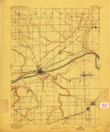
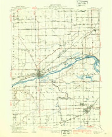
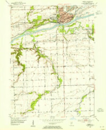
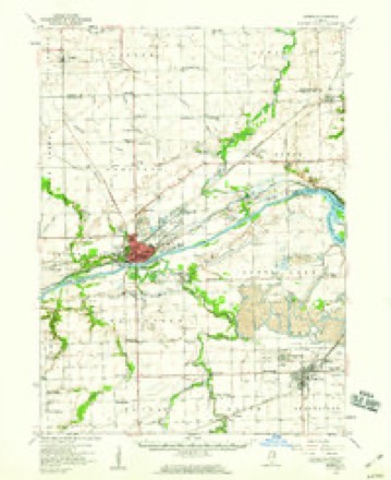
18 topographic sheets cover this place, the earliest surveyed in 1892 and the latest in 1993. It stands in Wauponsee Township. It lies in ZIP code area 60450. It stands on Spring Run. The Survey maps it on the Morris quadrangle. It stands 515 feet above sea level.
Topographic sheets covering this place
9 surveys from 18 printed sheetsMatched by testing this settlement's coordinate against the published boundary of every sheet in the United States Geological Survey's historical collection. Each opens the scanned sheet at the Survey.
- 1892 USGS Morris quadrangle1:62500, 3 printings
- 1918 USGS Morris quadrangle1:62500, 3 printings
- 1953 USGS Morris quadrangle1:24000, 3 printings
- 1954 USGS Morris quadrangle1:62500, 2 printings
- 1958 USGS Aurora quadrangle1:250000, 3 printings
- 1961 USGS Aurora quadrangle1:250000
- 1985 USGS Ottawa quadrangle1:100000
- 1991 USGS Ottawa quadrangle1:100000
- 1993 USGS Morris quadrangle1:24000


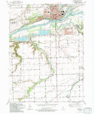
In the county-history sources
3,645 words on this townshipHistory of Grundy County, Illinois : Containing a History from the Earliest Settlement to the Present Time ... , Biographical Sketches, Portraits of Some of the Early Settlers, Prominent Men, Etc, published 1882 has no passage naming this settlement, which was common for smaller places. Its township is covered in full.
The chapter on Wauponsee Township covers the township.
Read the chapter on Wauponsee Township - 3,645 words.
Mines and quarries near this place
5 within 5 milesRegional context, not property-specific evidence. The federal mineral resources record lists 5 workings within 5 miles of Paytonville: 3 past producers, 1 producer, 1 plant. 2 still produce. What was taken out: Sand and Gravel, Construction, Stone, Clay. Distance is straight-line from the map coordinates, so a quarry counted here may appear on a neighbouring settlement's page as well.
| Where | Site | Commodity | Status | Recorded |
|---|---|---|---|---|
| Morris Shale Pit | Clay | Past Producer | ||
| Grundy City Pit | Stone | Past Producer | ||
| Morris City Pit | Stone | Past Producer | ||
| Morris Sand & Gravel Dredge | Sand and Gravel, Construction | Producer | ||
| Morris Sand & Gravel Pit | Sand and Gravel, Construction | Plant |
Storms near this place
5 since 2008Regional context, not property-specific evidence. The National Weather Service names Paytonville in 5 storm reports between 2008 and 2020: 2 thunderstorm wind, 1 flash flood, 1 tornado, 1 flood. The reports record 7 injuries. Each account below is quoted exactly as the forecast office filed it, from the NOAA Storm Events Database, and each date opens the federal record of that event.
| When | Event | Place named | Harm | What the report says |
|---|---|---|---|---|
| June 2015 | Tornado (EF3) | Paytonville | 7 hurt, $25,000,000 | The tornado touched down near Higgins Road and Dupont Road where softwood trees were snapped. The tornado moved east-southeast where trees and power poles were snapped along N Gorman Road. The most significant damage was noted as the tornado crossed S Carbon Hill Road just south of Division Street, entering Coal City. Dozens of homes were heavily damaged in Coal City with three completely destroyed. Two of these homes were well built and had at least part of their structure bolted down to the foundation with bolts secured by nuts. Two high tension metal trusses were downed including one that was crumpled along Hunters Run. Hundreds of trees were snapped or uprooted. Numerous utility poles were downed. Peak winds were estimated to be 160 mph with a max width of three quarters of a mile. The tornado continued into Will County. (Tornado 8a of 10). |
| July 2010 | Thunderstorm Wind | Paytonville | $1,000 | Tree limbs and power lines were blown down along and south of Pine Bluff Road west of Route 47. A tree 6 to 8 inches in diameter was also blown down. |
| May 2020 | Flood | Paytonville | - | Major flooding occurred along the Mazon River. The river crested at 17.88 feet near Coal City on May 18th. Flood stage near Coal City is 12 feet and major stage is 17 feet. A water rescue was reported in the vicinity of Gardner. |
| May 2012 | Flash Flood | Paytonville | - | West Southmor Road was impassable and closed due to high water. |
| July 2008 | Thunderstorm Wind | Paytonville | - | A wind gust to 68 mph was measured near Dupont Road and Route 47. |
Nearest settlements
The eight closest, with where each one stands in the county. Distances are straight-line, computed from the Geographic Names Information System coordinates.
| Map | Place | Distance | Sheets |
|---|---|---|---|
| Richards Park | 0.4 miles | 18 | |
| Willow Ridge | 0.4 miles | 18 | |
| Pine Meadow Estates | 1.0 miles | 18 | |
| Pine Grove | 1.4 miles | 18 | |
| Morris | 1.5 miles | 18 | |
| Pebble Beach | 1.7 miles | 18 | |
| Claypool Woods | 1.7 miles | 18 | |
| Gaslight Village | 2.1 miles | 18 |
Elsewhere
Matched on this settlement's Geographic Names Information System number rather than its name, so it cannot be a different place of the same name in another state.
| Wikipedia article on Paytonville | An encyclopaedic summary. Its text is share-alike, so it is linked here rather than copied. |
| Wikidata item Q7156929 | The structured record the population and elevation above come from. Public domain (CC0). |
Provenance
This settlement is recorded in the Geographic Names Information System as feature 415477. The sheet list is computed by point-in-boundary test against the United States Geological Survey's historical topographic inventory. Both are works of the United States government and carry no copyright under 17 U.S.C. 105.
Mines and quarries. USGS Mineral Resources Data System (MRDS) https://mrdata.usgs.gov/mrds/ A work of the United States government, no copyright under 17 U.S.C. 105.
Storms. NOAA National Centers for Environmental Information, Storm Events Database https://www.ncei.noaa.gov/stormevents/ A work of the United States government, no copyright under 17 U.S.C. 105. Narratives are quoted verbatim from the National Weather Service report and are not edited or summarised.