 Block
Pearl, Illinois
12 topographic sheets cover this place, the earliest surveyed in 1930 and the latest in 1985. It stands in Pearl Township. It lies in ZIP code area 62361. The Survey maps it on the Pearl West quadrangle. 103 people lived here at the 2020 count. It stands 456 feet above sea level.
Population over time
2 figuresPearl fell from 138 to 103 between 2010 and 2020. These are the recorded population figures Wikidata holds for this place, reached through the Geographic Names Information System number this page is keyed on rather than by name, so they belong to this place and not to another of the same name. Most are census counts, but not all are: an early figure may be a founding or settlement estimate, and an estimate published within five years of a census is left out. The change column is computed, and is left blank where more than 20 years separate a figure from the one before it, because a gap that long is not a change between two counts.
| Year | People | Change |
|---|---|---|
| 2010 | 138 | |
| 2020 | 103 | -35 (-25%) |
Topographic sheets covering this place
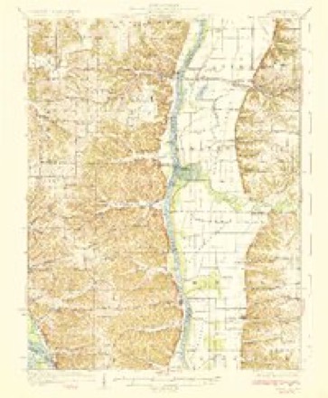
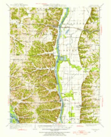
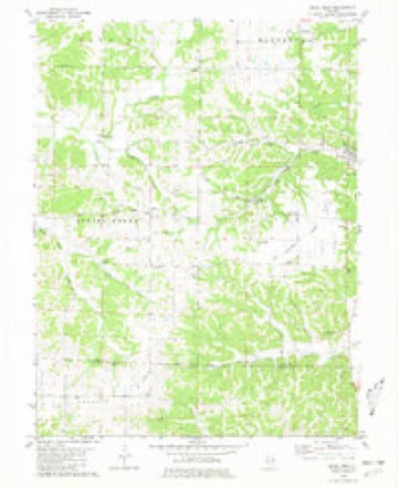
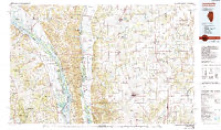
6 surveys from 12 printed sheetsMatched by testing this settlement's coordinate against the published boundary of every sheet in the United States Geological Survey's historical collection. Each opens the scanned sheet at the Survey.
- 1930 USGS Pearl quadrangle1:62500, 3 printings
- 1948 USGS Quincy quadrangle1:250000, 2 printings
- 1950 USGS Pearl quadrangle1:62500
- 1956 USGS Quincy quadrangle1:250000, 3 printings
- 1980 USGS Pearl West quadrangle1:24000
- 1985 USGS Jerseyville quadrangle1:100000, 2 printings


In the county-history sources
338 words on this townshipWith The Colors in Pike County, Illinois, published 1920 names this settlement in its chapter on Pearl Township. These are the passages that mention it, exactly as the scans read.
The Pearl Branch of the Pike County Chapter, American Red Cross, was organized Sept. 6, 1917, with the following officers: Chairman, L. M. Parisho; secretary, Zulah G. Thurmon; treasurer, Mrs. Kate Meisenbach. A report rendered on Sept. 6, 1918, for the first year's work showed that a total of $642.78 had been received from membership dues (the township's share), donations, sales, etc. There had been expended for various purposes $199.41, leaving a balance of $433.37. Up to that date there had been completed and sent to Pittsfield 25 sweaters, 6 pairs wristlets, 1 pair socks, 2 wash cloths, 22 property bags, 2 scarfs, 20 suits of pajamas, 12 hospital shirts, 15 filled comfort kits.
Passage source: With The Colors in Pike County, Illinois, published 1920.
The first work done by the Pearl Unit of the Women's Committee, C. N. D., was the registration of women. Nov. 6-7 were registration days, and 286 women were signed up for war work. The registrars were: Miss Bess Stathem, Miss Bess Chandler, Miss Edna Boren, Mrs. Prudence Wetzel and Mrs. Elfie Stathem. The unit was organized soon after this, with the following department chairmen: Registration, Mrs. Zulah G. Thurmon; Conservation, Mrs. Zilfa Lacy; Child Welfare, Mrs. Lou Foiles and Mrs. Kate Meisenbach ; Courses of Instruction, Miss Eloise Meisenbach; Food Production, Mrs. Ada Ferguson; Information, Mrs. Captola Lewis; Publicity, Mrs. Fannie Hayden; Recreation for Girls, Mrs. Effie Dennison; War Savings and Liberty Loan, Mrs. Zulah G. Thurmon; Americanization, Mrs. Lydia Lucas; Allied Relief, Miss Pauline Knox; Soldiers of Song, Mrs. Ruth Albright. School district chairmen were: Bee Creek, Mrs. Josephine C. Fisher and Miss Josephine Roberts; Old Pearl, Mrs. Lena Miller; Pleasant View, Miss Nettie McPherson.
Passage source: With The Colors in Pike County, Illinois, published 1920.
Machine-read from a century-old scan, so expect the errors a machine makes: misspelled names, dropped words, stray characters.
Mines and quarries near this place
3 within 5 milesRegional context, not property-specific evidence. The federal mineral resources record lists 3 workings within 5 miles of Pearl: 1 past producer, 1 plant, 1 producer. 2 still produce. What was taken out: Stone, Crushed/Broken. Distance is straight-line from the map coordinates, so a quarry counted here may appear on a neighbouring settlement's page as well.
| Where | Site | Commodity | Status | Recorded |
|---|---|---|---|---|
| Chicago and Alton Railroad Quarry | Stone, Crushed/Broken | Past Producer | ||
| Lacy & Bauer Quarry & Mill | Stone, Crushed/Broken | Plant | ||
| Orton Quarry | Stone, Crushed/Broken | Producer |
Storms near this place
5 since 2000Regional context, not property-specific evidence. The National Weather Service names Pearl in 5 storm reports between 2000 and 2016: 4 thunderstorm wind, 1 tornado. No death or injury is recorded in these reports. Each account below is quoted exactly as the forecast office filed it, from the NOAA Storm Events Database, and each date opens the federal record of that event.
| When | Event | Place named | Harm | What the report says |
|---|---|---|---|---|
| July 2016 | Thunderstorm Wind | Pearl | - | Thunderstorm winds blew down a few trees around town. |
| March 2006 | Tornado (F0) | Pearl | - | The tornado that started over northern Calhoun County crossed the extreme southeast corner of Pike County where it damaged a barn and several large trees. The tornado then continued into Greene County. |
| May 2000 | Thunderstorm Wind | Pearl | - | Thunderstorm winds downed trees along Highway 100 northwest of Pearl. |
| July 2000 | Thunderstorm Wind | Pearl | - | Thunderstorm wind gusts downed trees in the Pearl area. Chain line fencing around a basketball court was knocked down by the wind. Some corn in fields was also blown down. |
| June 2000 | Thunderstorm Wind | Pearl | - | no account filed |
Nearest settlements
The eight closest, with where each one stands in the county. Distances are straight-line, computed from the Geographic Names Information System coordinates.
Elsewhere
Matched on this settlement's Geographic Names Information System number rather than its name, so it cannot be a different place of the same name in another state.
| Wikipedia article on Pearl | An encyclopaedic summary. Its text is share-alike, so it is linked here rather than copied. |
| Wikidata item Q2380708 | The structured record the population and elevation above come from. Public domain (CC0). |
Provenance
This settlement is recorded in the Geographic Names Information System as feature 415490. The sheet list is computed by point-in-boundary test against the United States Geological Survey's historical topographic inventory. Both are works of the United States government and carry no copyright under 17 U.S.C. 105.
Mines and quarries. USGS Mineral Resources Data System (MRDS) https://mrdata.usgs.gov/mrds/ A work of the United States government, no copyright under 17 U.S.C. 105.
Storms. NOAA National Centers for Environmental Information, Storm Events Database https://www.ncei.noaa.gov/stormevents/ A work of the United States government, no copyright under 17 U.S.C. 105. Narratives are quoted verbatim from the National Weather Service report and are not edited or summarised.