 Block
Plattville, Illinois
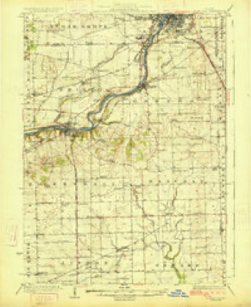
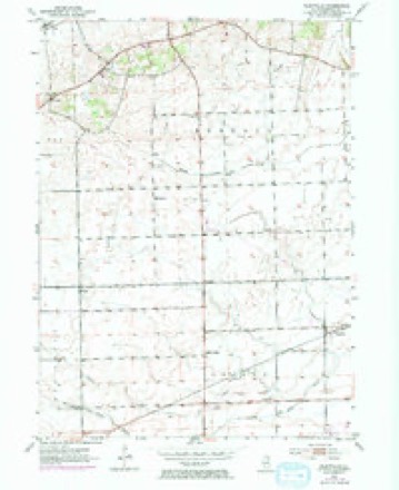
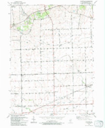
12 topographic sheets cover this place, the earliest surveyed in 1925 and the latest in 1993. It stands in Lisbon Township. It lies in ZIP code area 60560. It stands on Lisbon Creek. The Survey maps it on the Plattville quadrangle.
Topographic sheets covering this place
7 surveys from 12 printed sheetsMatched by testing this settlement's coordinate against the published boundary of every sheet in the United States Geological Survey's historical collection. Each opens the scanned sheet at the Survey.
- 1925 USGS Yorkville quadrangle1:62500, 2 printings
- 1953 USGS Plattville quadrangle1:24000, 2 printings
- 1954 USGS Yorkville quadrangle1:62500, 2 printings
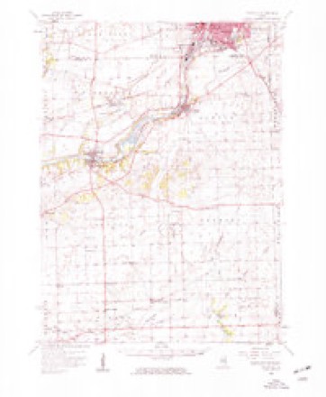
- 1958 USGS Aurora quadrangle1:250000, 3 printings
- 1961 USGS Aurora quadrangle1:250000
- 1985 USGS Aurora quadrangle1:100000
- 1993 USGS Plattville quadrangle1:24000



In the county-history sources
269 words on this townshipHistory of Kendall County, Illinois, from the Earliest Discoveries to the Present Time, published 1877 has no passage naming this settlement, which was common for smaller places. Its township is covered in full.
The chapter on Lisbon Township covers the township.
Read the chapter on Lisbon Township - 269 words.
Mines and quarries near this place
4 within 5 milesRegional context, not property-specific evidence. The federal mineral resources record lists 4 workings within 5 miles of Plattville: 2 producers, 2 past producers. 2 still produce. What was taken out: Stone, Crushed/Broken. Distance is straight-line from the map coordinates, so a quarry counted here may appear on a neighbouring settlement's page as well.
| Where | Site | Commodity | Status | Recorded |
|---|---|---|---|---|
| Central Quarry & Mill | Stone, Crushed/Broken | Producer | ||
| Unamed Limestone Quarry | Stone, Crushed/Broken | Past Producer | ||
| Unamed Limetone Quarry | Stone, Crushed/Broken | Past Producer | ||
| Valley Run Stone | Stone, Crushed/Broken | Producer |
Storms near this place
25 since 1994Regional context, not property-specific evidence. The National Weather Service names Plattville in 25 storm reports between 1994 and 2026: 15 thunderstorm wind, 7 hail, 1 flood, 1 flash flood. No death or injury is recorded in these reports. Each account below is quoted exactly as the forecast office filed it, from the NOAA Storm Events Database, and each date opens the federal record of that event.
| When | Event | Place named | Harm | What the report says |
|---|---|---|---|---|
| June 2010 | Thunderstorm Wind | Plattville | $200,000 | A large silo blew down onto an anhydrous ammonia tank, damaging a valve. The ammonia leak resulted in evacuation of several nearby residences. There was also a tree blown down on a road. |
| June 2009 | Thunderstorm Wind | Plattville | $1,000 | A large tree and power lines were blown down blocking Caton Farm Road just east of Ridge Road. |
| July 2008 | Thunderstorm Wind | Plattville | $1,000 | A tree and power lines were blown down near Caton Farm and Brisbin Roads. |
| July 2023 | Thunderstorm Wind | Plattville | - | A report came in of a tree that had been uprooted in 80 mph winds which had been measured by a personal weather station. |
| July 2023 | Thunderstorm Wind | Plattville | - | Multiple trees and several large branches were downed in Plattville. Time and wind speed were estimated using radar. |
| September 2021 | Thunderstorm Wind | Plattville | - | Tree limbs were blown down. Winds were estimated between 60 and 65 mph. |
| May 2020 | Flash Flood | Plattville | - | Flood waters 12 to 18 inches deep were reported on Caton Farm and Ridge Roads. |
| May 2020 | Heavy Rain | Plattville | - | Rainfall of 3.00 inches was measured in 2 hours. |
| June 2020 | Thunderstorm Wind | Plattville | - | A one foot diameter tree was blown down blocking the right lane on Route 52, two miles west of Ridge Road. |
| November 2020 | Thunderstorm Wind | Plattville | - | Wind gusts were estimated to 58 mph. |
| June 2019 | Thunderstorm Wind | Plattville | - | Three large tree limbs were blown down with diameters ranging from 6 inches to one foot. |
| May 2018 | Thunderstorm Wind | Plattville | - | A large tree limb was blown down. |
| July 2012 | Thunderstorm Wind | Plattville | - | Two trees were split near Southworth Circle and Townsend Blvd. |
| June 2011 | Flood | Plattville | - | Middle Aux Sable Creek was out of its bank near Ashley Road. |
| June 2010 | Thunderstorm Wind | Plattville | - | The top of a tree, four inches in diameter, was snapped off. |
| June 2010 | Hail | Plattville | - | Quarter size hail was reported near Ridge Road and Theodore Street. |
| August 2007 | Thunderstorm Wind | Plattville | - | A large tree limb was blown down on County Line Road between Renwick and Caton Farm Road in Kendall County. |
| May 1994 | Thunderstorm Wind | Plattville | - | Wind gusts estimated to 70 mph blew down power poles and lines. |
| March 2026 | Hail | Plattville | - | no account filed |
| April 2023 | Hail | Plattville | - | no account filed |
| May 2017 | Thunderstorm Wind | Plattville | - | no account filed |
| April 2017 | Hail | Plattville | - | no account filed |
| June 2002 | Hail | Plattville | - | no account filed |
| April 1996 | Hail | Plattville | - | no account filed |
| April 1996 | Hail | Plattville | - | no account filed |
Nearest settlements
The eight closest, with where each one stands in the county. Distances are straight-line, computed from the Geographic Names Information System coordinates.
| Map | Place | Distance | Sheets |
|---|---|---|---|
| Lisbon Center | 2.8 miles | 12 | |
| Kentland | 3.0 miles | 12 | |
| White Willow (historical) | 3.9 miles | 18 | |
| Central | 4.9 miles | 18 | |
| Ament Corners | 5.4 miles | 12 | |
| Helmar | 5.5 miles | 12 | |
| Lisbon | 6.4 miles | 18 | |
| Pavillion | 7.4 miles | 12 |
Provenance
This settlement is recorded in the Geographic Names Information System as feature 415768. The sheet list is computed by point-in-boundary test against the United States Geological Survey's historical topographic inventory. Both are works of the United States government and carry no copyright under 17 U.S.C. 105.
Mines and quarries. USGS Mineral Resources Data System (MRDS) https://mrdata.usgs.gov/mrds/ A work of the United States government, no copyright under 17 U.S.C. 105.
Storms. NOAA National Centers for Environmental Information, Storm Events Database https://www.ncei.noaa.gov/stormevents/ A work of the United States government, no copyright under 17 U.S.C. 105. Narratives are quoted verbatim from the National Weather Service report and are not edited or summarised.