 Block
Schaumburg, Illinois
22 topographic sheets cover this place, the earliest surveyed in 1923 and the latest in 1998. It stands in Schaumburg Township. It lies in ZIP code area 60194. The Survey maps it on the Palatine quadrangle. 78,723 people lived here at the 2020 count. It stands 794 feet above sea level.
On record in Schaumburg
Buildings and businesses the archive holds for this place. Each opens its own page, with the source record it came from.
On the National Register 1 record
 Paul Schweikher House and Studiolisted 1987
Population over time
2 figuresSchaumburg grew from 74,227 to 78,723 between 2010 and 2020. These are the recorded population figures Wikidata holds for this place, reached through the Geographic Names Information System number this page is keyed on rather than by name, so they belong to this place and not to another of the same name. Most are census counts, but not all are: an early figure may be a founding or settlement estimate, and an estimate published within five years of a census is left out. The change column is computed, and is left blank where more than 20 years separate a figure from the one before it, because a gap that long is not a change between two counts.
| Year | People | Change |
|---|---|---|
| 2010 | 74,227 | |
| 2020 | 78,723 | +4,496 (+6%) |
Topographic sheets covering this place
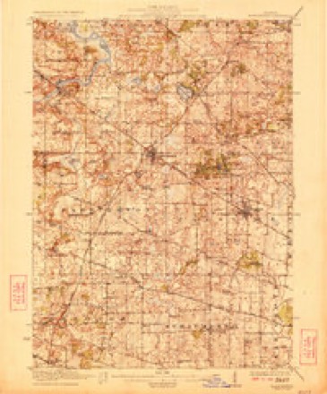
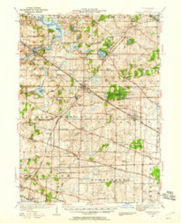
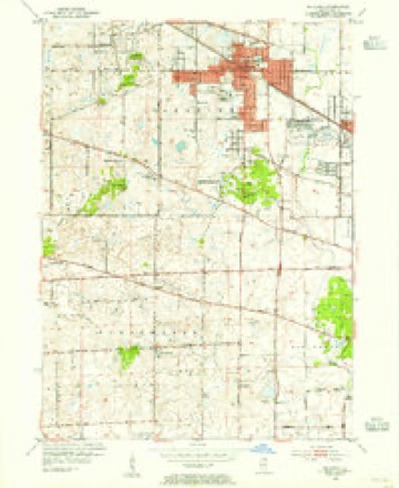
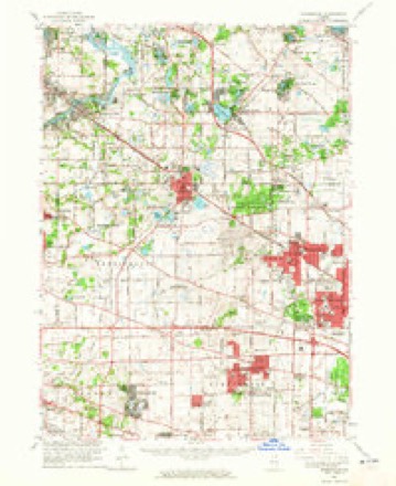
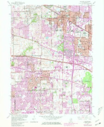
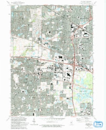
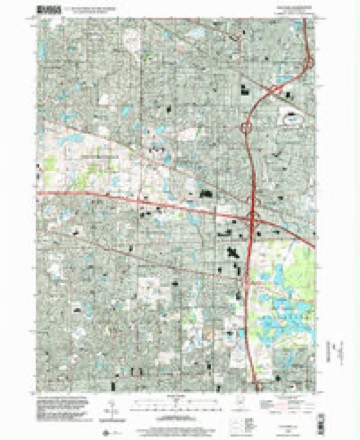
12 surveys from 22 printed sheetsMatched by testing this settlement's coordinate against the published boundary of every sheet in the United States Geological Survey's historical collection. Each opens the scanned sheet at the Survey.
- 1923 USGS Barrington quadrangle1:62500, 4 printings
- 1935 USGS Barrington quadrangle1:62500
- 1953 USGS Palatine quadrangle1:24000
- 1954 USGS Rockford quadrangle1:250000
- 1955 USGS Rockford quadrangle1:250000
- 1958 USGS Rockford quadrangle1:250000, 4 printings
- 1961 USGS Barrington quadrangle1:62500
- 1961 USGS Palatine quadrangle1:24000, 5 printings
- 1963 USGS Rockford quadrangle1:250000
- 1981 USGS Elgin quadrangle1:100000
- 1993 USGS Palatine quadrangle1:24000
- 1998 USGS Palatine quadrangle1:24000





Mines and quarries near this place
4 within 5 milesRegional context, not property-specific evidence. The federal mineral resources record lists 4 workings within 5 miles of Schaumburg: 3 past producers, 1 producer. 1 still produces. What was taken out: Sand and Gravel, Construction, Stone, Crushed/Broken. Distance is straight-line from the map coordinates, so a quarry counted here may appear on a neighbouring settlement's page as well.
| Where | Site | Commodity | Status | Recorded |
|---|---|---|---|---|
| Hoffman Estates City Eng.-Own Crews | Stone, Crushed/Broken | Past Producer | ||
| Mallard Lake Pit | Sand and Gravel, Construction | Producer | ||
| Meachum Pit | Sand and Gravel, Construction | Past Producer | ||
| Rolling Meadows Dept of Public Work | Stone, Crushed/Broken | Past Producer |
Storms near this place
54 since 1997Regional context, not property-specific evidence. The National Weather Service names Schaumburg in 54 storm reports between 1997 and 2025: 24 hail, 23 thunderstorm wind, 3 flood, 2 heavy rain. No death or injury is recorded in these reports. Each account below is quoted exactly as the forecast office filed it, from the NOAA Storm Events Database, and each date opens the federal record of that event.
| When | Event | Place named | Harm | What the report says |
|---|---|---|---|---|
| June 2014 | Lightning | Schaumburg | $50,000 | Lightning struck a home on East Weathersfield Way resulting in a fire that caused moderate damage. No injuries were reported. |
| May 2007 | Tornado (EF0) | Schaumburg | $50,000 | Based on eyewitness accounts, a condensation funnel may not have been visible, but damage to roofs of three buildings in an industrial park along Wise Road just west of Mitchell Boulevard show signs of uplift but minimal winds. Only a couple of tree limbs were knocked down in the area. An eyewitness observed roofing material and insulation lifted into the air and swirling rapidly. Witnesses also observed rotation in a low hanging cloud base. |
| August 2007 | Thunderstorm Wind | Schaumburg | $50,000 | A roof of a car repair shop was blown off on Estes Avenue and another building on Lunt Avenue also suffered roof damage. |
| May 2007 | Thunderstorm Wind | Schaumburg | $25,000 | A school roof was damaged just south of West Schaumburg Road. |
| October 2012 | Thunderstorm Wind | Schaumburg | $5,000 | A tree was blown onto a fence near the intersection of Schaumburg Road and Salem Drive. |
| August 2025 | Thunderstorm Wind | Schaumburg | - | Tree branches a few inches in diameter were downed in Schaumburg. A rotted tree was also uprooted nearby. |
| February 2024 | Thunderstorm Wind | Schaumburg | - | A tree was reported down near the Schaumburg post office. Time was estimated using radar. |
| July 2023 | Thunderstorm Wind | Schaumburg | - | Multiple large tree limbs were downed across the east side of Schaumburg. |
| July 2023 | Thunderstorm Wind | Schaumburg | - | A photo shared on social media showed a one foot diameter tree limb that had penetrated the windshield of a car in Schaumburg. |
| July 2022 | Thunderstorm Wind | Schaumburg | - | A photo shared on social media showed a large tree limb that was blown down. |
| July 2022 | Thunderstorm Wind | Schaumburg | - | A tree fell onto a house in the 200 block of East Beech Drive. |
| June 2022 | Thunderstorm Wind | Schaumburg | - | Numerous large tree limbs were blown down on the west and south sides of Schaumburg. |
| August 2021 | Thunderstorm Wind | Schaumburg | - | A tree limb approximately 5 inches in diameter was blown down. |
| July 2021 | Thunderstorm Wind | Schaumburg | - | A large tree was blown down blocking Spring Valley Court. |
| June 2021 | Heavy Rain | Schaumburg | - | Rainfall of 1.98 inches was reported in 40 minutes. |
| August 2021 | Thunderstorm Wind | Schaumburg | - | A 9 inch diameter tree limb was blown down. |
| August 2020 | Thunderstorm Wind | Schaumburg | - | Wind gusts were estimated between 60 mph and 70 mph in Schaumburg. |
| June 2020 | Thunderstorm Wind | Schaumburg | - | Wind gusts were estimated between 50 mph and 60 mph. |
| May 2018 | Heavy Rain | Schaumburg | - | Rainfall of 2.90 inches was measured in less than one hour. |
| May 2018 | Flood | Schaumburg | - | The intersection of Roselle Road and Higgins Road was closed due to flooding. |
| July 2017 | Flood | Schaumburg | - | Standing water 6 to 12 inches deep was reported on Schaumburg Road between Braintree Drive and Roselle Road. One car was reported stalled in the flood waters. |
| July 2017 | Flood | Schaumburg | - | Water was reported on multiple roads in Schaumburg. |
| June 2013 | Hail | Schaumburg | - | Multiple reports of hail up to the size of quarters were received from near Schaumburg. This included reports of quarter size hail near Higgins Road and Plum Grove Road, nickel size hail near Plum Grove Road and Golf Road, and nickel size hail near Golf Road and Meacham Road. |
| November 2013 | Thunderstorm Wind | Schaumburg | - | Numerous limbs were blown down, the largest of which was around a foot and a half in diameter. |
| October 2012 | Thunderstorm Wind | Schaumburg | - | Large trees were uprooted. |
| June 2011 | Thunderstorm Wind | Schaumburg | - | Estimated wind gusts to 70 mph occurred in Schaumburg. |
| April 2011 | Hail | Schaumburg | - | Nickel size hail was reported near the intersection of Plumb Grove Road and Schaumburg Road. |
| July 2007 | Hail | Schaumburg | - | Nickel to quarter size hail reported. |
| May 2004 | Hail | Schaumburg | - | Cars were damaged by hail. |
| August 2003 | Hail | Schaumburg | - | Golf ball size hail was reported at Golf and Algonquin Roads. |
| August 2003 | Hail | Schaumburg | - | Reported at Golf and Meacham Roads and also along Interstate 90. |
| August 2003 | Hail | Schaumburg | - | Hail ranged from the size of quarters to golf balls and covered the ground in some areas. |
| July 2003 | Hail | Schaumburg | - | Reported at Weathersfield Way and Walnut. |
| July 1997 | Thunderstorm Wind | Schaumburg | - | Severe thunderstorms produced strong winds across the far northern suburbs. Wind gusts to 65 mph damaged trees and downed power lines. Nickel-sized hail was reported in Mt. Prospect, in northern Cook County. |
| April 2023 | Hail | Schaumburg | - | no account filed |
| August 2020 | Hail | Schaumburg | - | no account filed |
| March 2017 | Hail | Schaumburg | - | no account filed |
| July 2017 | Hail | Schaumburg | - | no account filed |
| July 2015 | Hail | Schaumburg | - | no account filed |
| April 2013 | Hail | Schaumburg | - | no account filed |
| October 2012 | Hail | Schaumburg | - | no account filed |
| June 2011 | Thunderstorm Wind | Schaumburg | - | no account filed |
| August 2011 | Thunderstorm Wind | Schaumburg | - | no account filed |
| April 2010 | Hail | Schaumburg | - | no account filed |
| March 2004 | Hail | Schaumburg | - | no account filed |
| May 2004 | Thunderstorm Wind | Schaumburg | - | no account filed |
| May 2004 | Hail | Schaumburg | - | no account filed |
| March 2004 | Hail | Schaumburg | - | no account filed |
| May 2004 | Hail | Schaumburg | - | no account filed |
| April 2003 | Hail | Schaumburg | - | no account filed |
| May 2003 | Thunderstorm Wind | Schaumburg | - | no account filed |
| September 2000 | Hail | Schaumburg | - | no account filed |
| May 1999 | Hail | Schaumburg | - | no account filed |
| April 1999 | Hail | Schaumburg | - | no account filed |
Nearest settlements
The eight closest, with where each one stands in the county. Distances are straight-line, computed from the Geographic Names Information System coordinates.
| Map | Place | Distance | Sheets |
|---|---|---|---|
| Hoffman Estates | 0.7 miles | 22 | |
| Creekside | 3.9 miles | 22 | |
| Fairfax Village | 4.1 miles | 22 | |
| Williamsburg | 4.1 miles | 22 | |
| Winthrop Village | 4.4 miles | 22 | |
| Plum Grove Village | 4.4 miles | 22 | |
| South Barrington | 4.5 miles | 22 | |
| Streamwood | 5.1 miles | 20 |
Elsewhere
Matched on this settlement's Geographic Names Information System number rather than its name, so it cannot be a different place of the same name in another state.
| Wikipedia article on Schaumburg | An encyclopaedic summary. Its text is share-alike, so it is linked here rather than copied. |
| Wikidata item Q988162 | The structured record the population and elevation above come from. Public domain (CC0). |
Provenance
This settlement is recorded in the Geographic Names Information System as feature 418075. The sheet list is computed by point-in-boundary test against the United States Geological Survey's historical topographic inventory. Both are works of the United States government and carry no copyright under 17 U.S.C. 105.
Mines and quarries. USGS Mineral Resources Data System (MRDS) https://mrdata.usgs.gov/mrds/ A work of the United States government, no copyright under 17 U.S.C. 105.
Storms. NOAA National Centers for Environmental Information, Storm Events Database https://www.ncei.noaa.gov/stormevents/ A work of the United States government, no copyright under 17 U.S.C. 105. Narratives are quoted verbatim from the National Weather Service report and are not edited or summarised.