 Block
Sicily, Illinois
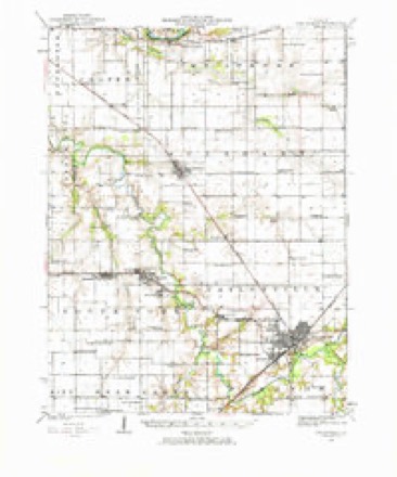
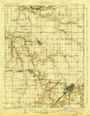
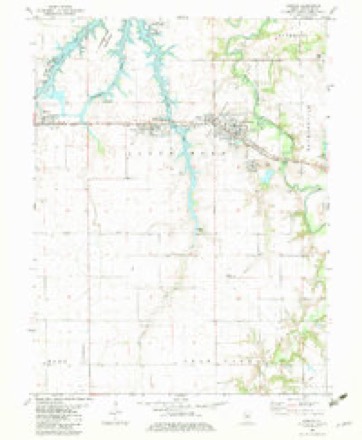
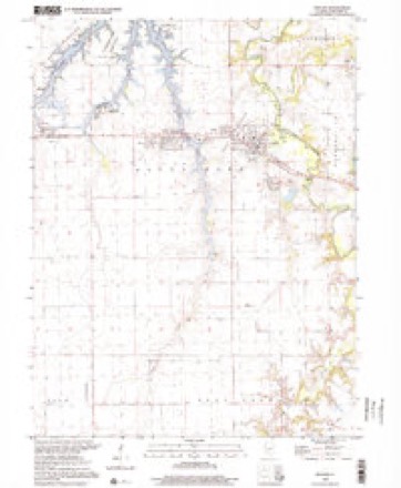
13 topographic sheets cover this place, the earliest surveyed in 1923 and the latest in 1998. It stands in South Fork Township. It lies in ZIP code area 62558. The Survey maps it on the Kincaid quadrangle.
Topographic sheets covering this place
7 surveys from 13 printed sheetsMatched by testing this settlement's coordinate against the published boundary of every sheet in the United States Geological Survey's historical collection. Each opens the scanned sheet at the Survey.
- 1923 USGS Taylorville quadrangle1:62500, 2 printings
- 1925 USGS Taylorville quadrangle1:62500, 2 printings
- 1958 USGS Decatur quadrangle1:250000, 3 printings
- 1961 USGS Decatur quadrangle1:250000, 2 printings
- 1982 USGS Kincaid quadrangle1:24000
- 1985 USGS Springfield quadrangle1:100000, 2 printings
- 1998 USGS Kincaid quadrangle1:24000



Storms near this place
14 since 1998Regional context, not property-specific evidence. The National Weather Service names Sicily in 14 storm reports between 1998 and 2023: 6 flash flood, 2 hail, 2 thunderstorm wind, 2 flood. The reports record 4 deaths. Each account below is quoted exactly as the forecast office filed it, from the NOAA Storm Events Database, and each date opens the federal record of that event.
| When | Event | Place named | Harm | What the report says |
|---|---|---|---|---|
| December 2015 | Flood | Sicily | 4 killed, $2,800,000 | An extended period of heavy rain during the evening of December 26th in Christian County combined with an already saturated ground to produce flash flooding. Rainfall amounts ranged from 2.50 to 4.50 inches in less than six hours, with the heaviest rain in the southern half of the county. Most rural roads and state highways were flooded and impassable. City streets in Taylorville and Pana were also flooded. The flooding continued through all of December 27th. Additional rainfall of 2.50 to 4.75 from December 28th into the 29th aggravated the flooding situation significantly. Every road in the county was flooded which resulted in a shortage of barricades to close the roads. The village of Kincaid was hardest hit as the South Fork of the Sangamon River overtopped levees and flooded the southeast part of town for the first time in its history. People had to be rescued by boat as all roads in and out of town were flooded. Three houses were destroyed by the flooding in Kincaid, with 41 others damaged. Four fatalities occurred in two separate incidents early in the morning of December 29th. Two 18 year old males died as their pickup truck was swept away in flood waters near the South Fork of the Sangamon River and Illinois Route 104 about one mile southeast of Kincaid. Two other people died as their van was swept into the Buckhart Creek about 5 miles ENE of Edinburg. The flooding finally subsided by the afternoon of December 31st, more than four days after it started. |
| August 2023 | Tornado (EF2) | Sicily | - | This tornado crossed from Sangamon County into far western Christian County just north of the intersection of Pawnee-New City Road and Skaggs Road at 6:13 PM CDT. It continued east-southeastward across Sangchris Lake, damaging a home near the lakeshore and causing extensive tree damage before passing just north of Tovey and Kincaid. The tornado crossed Route 29 southeast of Sharpsburg and tracked over mainly open fields between Routes 29 and 48. It then strengthened and caused EF-2 damage 2 miles south of Willeys along 1600 East Road just south of 1600 North Road where it demolished about 2/3 of a house. The tornado continued east-southeastward, then dissipated near North 2300 East Road about a half mile north of 1500 North Road at 7:03 PM CDT. |
| June 2023 | Tornado (EFU) | Sicily | - | Sentinel-2 satellite imagery showed that a tornado touched down 6.2 miles northwest of Palmer about a half mile north of the intersection of North 200 East Road and East 1100 North Road at 12:27 PM CDT. The tornado tracked east-southeastward through farm fields before dissipating before reaching North 300 East Road at 12:28 PM CDT. Damage appeared limited to crops, thus no intensity could be assigned. |
| April 2022 | Thunderstorm Wind | Sicily | - | A few shingles were blown off a home and large tree branches were knocked down. |
| May 2017 | Flood | Sicily | - | Heavy rainfall of 2.00 to 3.00 inches during the early morning hours of May 4th, on already saturated ground, resulted in flash flooding across southern Christian County. Officials reported that most roads were impassable and numerous creeks rapidly flooded. Additional rainfall of 0.50 to 1.00 inch later in the day May 4th into May 5th caused creeks and roads to stay flooded for nearly 24 hours. Flood waters subsided by the afternoon on May 5th. |
| May 2017 | Flash Flood | Sicily | - | Heavy rainfall of 2.00 to 3.00 inches during the early morning hours of May 4th, on already saturated ground, resulted in flash flooding across southern Christian County. Officials reported that most roads were impassable and numerous creeks rapidly flooded. |
| December 2015 | Flash Flood | Sicily | - | An extended period of heavy rain during the evening of December 26th in Christian County combined with an already saturated ground to produce flash flooding. Rainfall amounts ranged from 2.50 to 4.50 inches in less than six hours, with the heaviest rain in the southern half of the county. Most rural roads and state highways were flooded and impassable. City streets in Taylorville and Pana were also flooded. |
| June 2013 | Flash Flood | Sicily | - | Slow moving thunderstorms, which produced 1.50 to 2.00 inches of rain on already saturated ground in a two hour period during the late evening of May 31st across western Christian County, resulted in flash flooding which continued into the early morning of June 1st. The flash flooding made many rural roads impassable. |
| May 2013 | Flash Flood | Sicily | - | Slow moving thunderstorms produced 1.50 to 2.00 inches of rain on already saturated ground in a two hour period during the late evening across western Christian County. This rapidly produced flash flooding which made many rural roads impassable. The flash flooding continued through the night, and into June 1st. |
| September 2010 | Flash Flood | Sicily | - | Heavy rainfall rates of 2.00 to 2.50 per hour for nearly two hours resulted in flash flooding across the southern half of Christian County, including the city of Taylorville. Most roads were impassable due to the heavy rain. Maximum rainfall amounts reached 4.00 to 5.00 inches in southeast and eastern parts of the county from Assumption to Pana. |
| May 2009 | Flash Flood | Sicily | - | Heavy rain of 1.00 to 2.00 inches fell within two hours, on already saturated ground, across northwest Christian County. This produced extensive flash flooding, particularly on rural roads. |
| April 1999 | Thunderstorm Wind | Sicily | - | As a severe thunderstorm moved northeast across Christian County, numerous reports of damage were received. Six miles south of Sicily, three grain bins were damaged. Four miles south of Tovey, four homes sustained minor damage and several tree limbs and power lines were blown down one mile south of Kincaid. Also, 3 homes sustained minor damage four miles northwest of Taylorville. No injuries were reported. |
| April 1998 | Hail | Sicily | - | Hail up to two inches in diameter was reported 2 miles southwest of Sicily, in Tovey, in Taylorville, and in Willeys as a severe thunderstorm moved across the county. |
| April 2022 | Hail | Sicily | - | no account filed |
Nearest settlements
The eight closest, with where each one stands in the county. Distances are straight-line, computed from the Geographic Names Information System coordinates.
| Map | Place | Distance | Sheets |
|---|---|---|---|
| Tovey | 1.9 miles | 13 | |
| Tovey Humphrey Station | 1.9 miles | 13 | |
| Ellis | 2.0 miles | 14 | |
| Bulpitt | 3.6 miles | 13 | |
| Kincaid | 4.1 miles | 13 | |
| Jeisyville | 4.6 miles | 13 | |
| Edinburg | 7.1 miles | 12 | |
| Blueville | 7.2 miles | 12 |
Provenance
This settlement is recorded in the Geographic Names Information System as feature 418489. The sheet list is computed by point-in-boundary test against the United States Geological Survey's historical topographic inventory. Both are works of the United States government and carry no copyright under 17 U.S.C. 105.
Storms. NOAA National Centers for Environmental Information, Storm Events Database https://www.ncei.noaa.gov/stormevents/ A work of the United States government, no copyright under 17 U.S.C. 105. Narratives are quoted verbatim from the National Weather Service report and are not edited or summarised.