 Block
Smothersville, Illinois
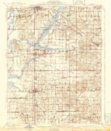
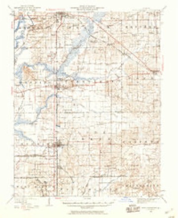
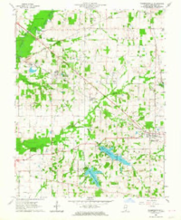
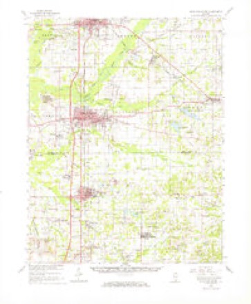
18 topographic sheets cover this place, the earliest surveyed in 1909 and the latest in 1987. It stands in Benton Township. It lies in ZIP code area 62856. The Survey maps it on the Thompsonville quadrangle.
Topographic sheets covering this place
12 surveys from 18 printed sheetsMatched by testing this settlement's coordinate against the published boundary of every sheet in the United States Geological Survey's historical collection. Each opens the scanned sheet at the Survey.
- 1909 USGS West Frankfort quadrangle1:62500, 2 printings
- 1941 USGS West Frankfort quadrangle1:62500
- 1949 USGS Paducah quadrangle1:250000, 2 printings
- 1950 USGS Paducah quadrangle1:250000
- 1954 USGS Paducah quadrangle1:250000, 2 printings
- 1961 USGS Paducah quadrangle1:250000, 2 printings
- 1963 USGS Thompsonville quadrangle1:24000, 2 printings
- 1963 USGS West Frankfort quadrangle1:62500
- 1964 USGS Paducah quadrangle1:250000, 2 printings
- 1984 USGS West Frankfort quadrangle1:100000
- 1987 USGS Paducah quadrangle1:250000
- 1987 USGS West Frankfort quadrangle1:100000






In the county-history sources
5,733 words on this townshipThe Prospects of Franklin County, Illinois, 1912, published 1912 names this settlement in its chapter on Benton Township. These are the passages that mention it, exactly as the scans read.
UP TO 1909, this town was called Smothersville, but was re-named in honor of Mr. John P. Hanaford, of Rockford, Illinois. It is located on the Illinois Central Railroad between Benton and Thompsonville, and is nearly in the center of the finest coal belt in Illinois; the coal vein being from eight to ten feet thick, and of very superior quality.
Passage source: The Prospects of Franklin County, Illinois, 1912, published 1912.
Machine-read from a century-old scan, so expect the errors a machine makes: misspelled names, dropped words, stray characters.
Nearest settlements
The eight closest, with where each one stands in the county. Distances are straight-line, computed from the Geographic Names Information System coordinates.
| Map | Place | Distance | Sheets |
|---|---|---|---|
| Logan | 0.1 miles | 18 | |
| Parrish | 1.7 miles | 18 | |
| Groat | 1.9 miles | 18 | |
| Bessie | 3.3 miles | 18 | |
| Steel City | 3.7 miles | 18 | |
| Deering City | 3.8 miles | 18 | |
| Greenville (historical) | 4.3 miles | 18 | |
| Boothby | 4.7 miles | 10 |
Elsewhere
Matched on this settlement's Geographic Names Information System number rather than its name, so it cannot be a different place of the same name in another state.
| Wikidata item Q122559008 | The structured record the population and elevation above come from. Public domain (CC0). |
Provenance
This settlement is recorded in the Geographic Names Information System as feature 1725594. The sheet list is computed by point-in-boundary test against the United States Geological Survey's historical topographic inventory. Both are works of the United States government and carry no copyright under 17 U.S.C. 105.