 Block
Snicarte, Illinois
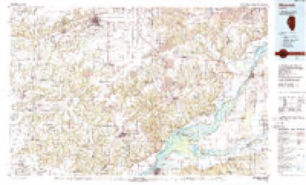
15 topographic sheets cover this place, the earliest surveyed in 1930 and the latest in 1990. It stands in Lynchburg Township. It lies in ZIP code area 62617. The Survey maps it on the Chandlerville quadrangle.
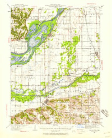
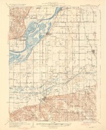
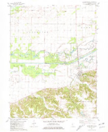
Topographic sheets covering this place
9 surveys from 15 printed sheetsMatched by testing this settlement's coordinate against the published boundary of every sheet in the United States Geological Survey's historical collection. Each opens the scanned sheet at the Survey.
- 1930 USGS Chandlerville quadrangle1:62500, 2 printings
- 1932 USGS Chandlerville quadrangle1:62500, 2 printings
- 1958 USGS Burlington quadrangle1:250000, 4 printings
- 1961 USGS Burlington quadrangle1:250000
- 1963 USGS Burlington quadrangle1:250000
- 1981 USGS Chandlerville quadrangle1:24000
- 1985 USGS Macomb quadrangle1:100000
- 1989 USGS Macomb quadrangle1:100000
- 1990 USGS Burlington quadrangle1:250000, 2 printings




In the county-history sources
11,875 words on this townshipCentennial History of Mason County, Including a Sketch of the Early History of Illinois, Its Physical Peculiarities, Soils, Climate, Production, Etc., published 1876 has no passage naming this settlement, which was common for smaller places. Its township is covered in full.
The chapter on Lynchburg Township covers the township.
Read the chapter on Lynchburg Township - 11,875 words.
Mines and quarries near this place
1 within 5 milesRegional context, not property-specific evidence. The federal mineral resources record lists 1 working within 5 miles of Snicarte: 1 past producer. None of them still produces. What was taken out: Sand and Gravel, Construction. Distance is straight-line from the map coordinates, so a quarry counted here may appear on a neighbouring settlement's page as well.
| Where | Site | Commodity | Status | Recorded |
|---|---|---|---|---|
| Sheldon Grove Sand & Gravel Pit | Sand and Gravel, Construction | Past Producer |
Storms near this place
5 since 1996Regional context, not property-specific evidence. The National Weather Service names Snicarte in 5 storm reports between 1996 and 2018: 2 tornado, 1 thunderstorm wind, 1 hail, 1 flash flood. No death or injury is recorded in these reports. Each account below is quoted exactly as the forecast office filed it, from the NOAA Storm Events Database, and each date opens the federal record of that event.
| When | Event | Place named | Harm | What the report says |
|---|---|---|---|---|
| December 2018 | Tornado (EF0) | Snicarte | - | A tornado touched down 4.5 miles west of Snicarte in the vicinity of Chain Lake in extreme southwest Mason County at 3:44 PM CST. The tornado tracked northeastward near the lake before dissipating 3.5 miles west-northwest of Snicarte at 3:46 PM CST. No damage was reported. |
| July 2010 | Flash Flood | Snicarte | - | Slow moving thunderstorms produced copious amounts of rainfall in a small part of southwest Mason County late in the evening of July 28th. Rainfall amounts of 4.00 to 5.00 were measured in 90 minutes which produced nearly two feet of water on many rural roads. Nearly all roads in the vicinity of the Illinois River were closed due to the flooding. |
| April 1998 | Tornado (F2) | Snicarte | - | A tornado touched down 3 miles southwest of Snicarte. It moved a two story frame house three feet off its foundation with its TV antenna wrapped over the top of the house. An exterior wall on the far side of the house was blown off. Some roof and siding damage also occurred with two 3 foot diameter trees next to the house uprooted. Just north of the house 3 outbuildings were destroyed as well as two grain bins. The tornado continued on a northeast track, skipping along the path tipping over some irrigation equipment, destroying another barn, and knocking over numerous large pine trees before dissipating. No injuries were reported and no damage estimate was available. |
| May 2002 | Hail | Snicarte | - | no account filed |
| July 1996 | Thunderstorm Wind | Snicarte | - | no account filed |
Nearest settlements
The eight closest, with where each one stands in the county. Distances are straight-line, computed from the Geographic Names Information System coordinates.
| Map | Place | Distance | Sheets |
|---|---|---|---|
| Moscow (historical) | 4.6 miles | 16 | |
| Saidora | 4.8 miles | 15 | |
| Wolf Lake | 5.2 miles | 15 | |
| White City | 6.7 miles | 15 | |
| Bath | 6.8 miles | 16 | |
| Matanzas | 10.2 miles | 15 | |
| Matanzas Beach | 10.7 miles | 15 | |
| Lakewood | 11.5 miles | 15 |
Elsewhere
Matched on this settlement's Geographic Names Information System number rather than its name, so it cannot be a different place of the same name in another state.
| Wikidata item Q122558044 | The structured record the population and elevation above come from. Public domain (CC0). |
Provenance
This settlement is recorded in the Geographic Names Information System as feature 418675. The sheet list is computed by point-in-boundary test against the United States Geological Survey's historical topographic inventory. Both are works of the United States government and carry no copyright under 17 U.S.C. 105.
Mines and quarries. USGS Mineral Resources Data System (MRDS) https://mrdata.usgs.gov/mrds/ A work of the United States government, no copyright under 17 U.S.C. 105.
Storms. NOAA National Centers for Environmental Information, Storm Events Database https://www.ncei.noaa.gov/stormevents/ A work of the United States government, no copyright under 17 U.S.C. 105. Narratives are quoted verbatim from the National Weather Service report and are not edited or summarised.