 Block
South Evanston, Illinois
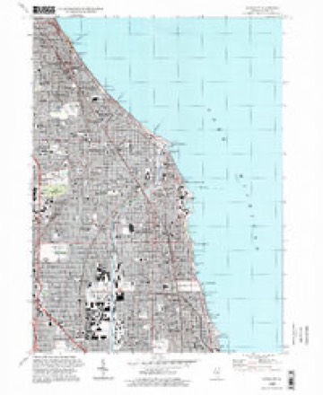
21 topographic sheets cover this place, the earliest surveyed in 1899 and the latest in 1995. It stands in Evanston City. It lies in ZIP code area 60202. The Survey maps it on the Evanston quadrangle.
On record in South Evanston
Buildings and businesses the archive holds for this place. Each opens its own page, with the source record it came from.
On the National Register within a mile 12 of 43 shown
The National Register names another town for these. They stand within one mile of this settlement's coordinate.
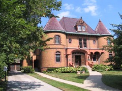 Charles Gates Dawes HouseNational Historic Landmark · listed 1976 · 0.5 miles away
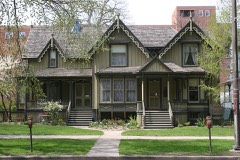 Frances Willard HouseNational Historic Landmark · listed 1966 · 0.8 miles away
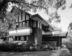 Frederick B. Carter Jr. Houselisted 1974 · 0.1 miles away
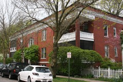 Building at 417-419 Lee Streetlisted 1984 · 0.2 miles away
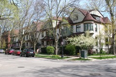 Building at 1101-1113 Maple Avenuelisted 1984 · 0.2 miles away
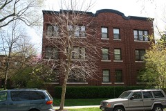 Maple Court Apartmentslisted 1984 · 0.3 miles away
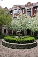 Fountain Plaza Apartmentslisted 1984 · 0.3 miles away
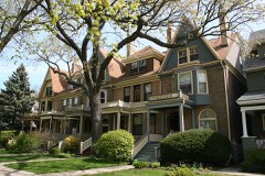 Building at 1209-1217 Maple Avenuelisted 1984 · 0.3 miles away
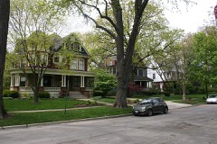 Evanston Lakeshore Historic Districtlisted 1980 · 0.3 miles away
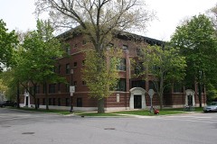 Judson, Thelisted 1984 · 0.3 miles away
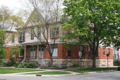 Building at 1301-1303 Judson Avenuelisted 1984 · 0.4 miles away
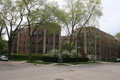 Michigan-Lee Apartmentslisted 1984 · 0.4 miles away
Topographic sheets covering this place
9 surveys from 21 printed sheetsMatched by testing this settlement's coordinate against the published boundary of every sheet in the United States Geological Survey's historical collection. Each opens the scanned sheet at the Survey.
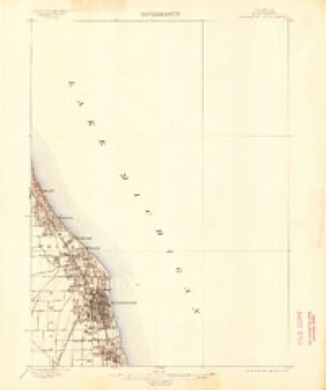
- 1899 USGS Evanston quadrangle1:62500, 3 printings
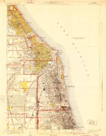
- 1928 USGS Evanston quadrangle1:24000, 5 printings
- 1953 USGS Evanston quadrangle1:24000
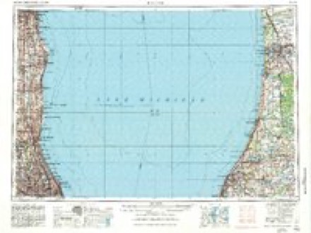
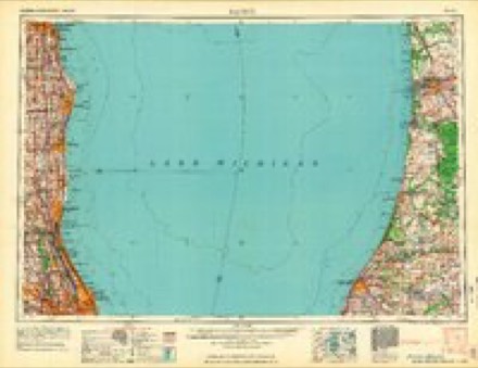
- 1958 USGS Racine quadrangle1:250000, 3 printings
- 1962 USGS Racine quadrangle1:250000
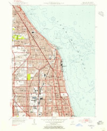
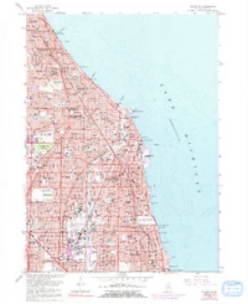
- 1963 USGS Evanston quadrangle1:24000, 5 printings
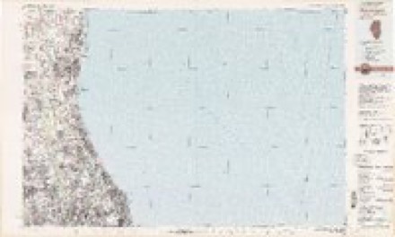
- 1980 USGS Waukegan quadrangle1:100000
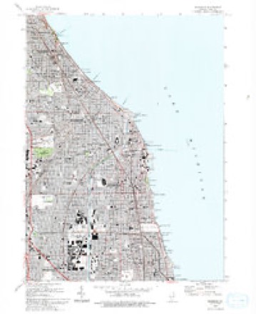
- 1993 USGS Evanston quadrangle1:24000
- 1995 USGS Evanston quadrangle1:24000
In the county-history sources
90,367 words on this townshipHistory of Cook County, Illinois. From the Earliest Period to the Present Time, published 1884 names this settlement in its chapter on Evanston City. These are the passages that mention it, exactly as the scans read.
WILLIAM H. RAlUSToW. proprietor of marble, stone and granite works, was bom in Yorkshire, England. August '.'7. 1810, and there learned his trade. He came to Chicago in ISO.') utul worked al his trade up to 1 Him. when he went to Lake View and worked for J. H. Anderson, in 1870 starting tn business at Rose Hill. In 1872. he came to South Evanston, and bought out the marble works of Hooper & Son, and carried it on himself, afterward taking hi* brother Jowett in with him, the firm now being W. II. Bairstow & Bro. He is one of the Trustees of South Evanston. He was married to Miss Jennie M. Anderson, of Scotland, on August 30, 1870. Thev have two children - Mabel B. and Fannie K.
Passage source: History of Cook County, Illinois. From the Earliest Period to the Present Time, published 1884.
SAMl'EL C. ('HASH, paired, was bom in Providence. R. L. March 10, 1808. He went to Green Bay. Wis,, in 1837, and was employed as a mason. In the spring 'of 1842, he came l« Chicago, after w hich he was for four years in Lemont, engaged ill the mercantile business. In 1808. he went to Kenosha, Wis., and the some year came to RnUMttfD, where he resided for ten vears, and since 1878 has resided in South Evanston. He married Miss Elizabeth Toune, of Providence, R. I. They had eight children, all deceased bill one daughter, Jennie (now Mrs. Stephen T. Lunt, of Evanston).
Passage source: History of Cook County, Illinois. From the Earliest Period to the Present Time, published 1884.
JOSEPH II. DORCEY. station agent at Calvary, was liorn in Chicago. August 20, 1852. He was first employed while a bov in running a stationary engine for B. Peony, and in a brick vard. He then attended school at l4lke Forest, and on December 9. 1872. became connected with the Chicago North- Wotem Railroad, was made station agent at South Evanston. August 23, 1874, and <>n October 27. 1882, at Calvarv. After coming to Evanston. he worked also at carpentering and on gas works. In connection with his present position at Calvary, he is also engaged in the real estate business, and also putting in dry filter and tie wells. He married Miss Annie May. of Waukegan, III., In 1878. They have one child, Annie B.
Passage source: History of Cook County, Illinois. From the Earliest Period to the Present Time, published 1884.
Machine-read from a century-old scan, so expect the errors a machine makes: misspelled names, dropped words, stray characters.
Read the whole chapter on Evanston City - it names this place 17 more 17 times.
Mines and quarries near this place
3 within 5 milesRegional context, not property-specific evidence. The federal mineral resources record lists 3 workings within 5 miles of South Evanston: 3 past producers. None of them still produces. What was taken out: Stone, Crushed/Broken. Distance is straight-line from the map coordinates, so a quarry counted here may appear on a neighbouring settlement's page as well.
| Where | Site | Commodity | Status | Recorded |
|---|---|---|---|---|
| Evanston City Eng | Stone, Crushed/Broken | Past Producer | ||
| Morton Grove City Eng. - Own Crews | Stone, Crushed/Broken | Past Producer | ||
| Wilmette City Eng. - Own Crews | Stone, Crushed/Broken | Past Producer |
Nearest settlements
The eight closest, with where each one stands in the county. Distances are straight-line, computed from the Geographic Names Information System coordinates.
| Map | Place | Distance | Sheets |
|---|---|---|---|
| Evanston | 0.6 miles | 21 | |
| Oakton | 0.9 miles | 21 | |
| Dolands Addition | 1.6 miles | 21 | |
| Birchwood | 1.6 miles | 21 | |
| North Evanston | 2.0 miles | 21 | |
| Rogers Park | 2.1 miles | 21 | |
| West Ridge | 2.7 miles | 24 | |
| Skokie | 2.8 miles | 21 |
Elsewhere
Matched on this settlement's Geographic Names Information System number rather than its name, so it cannot be a different place of the same name in another state.
| Wikidata item Q122539628 | The structured record the population and elevation above come from. Public domain (CC0). |
Provenance
This settlement is recorded in the Geographic Names Information System as feature 1802390. The sheet list is computed by point-in-boundary test against the United States Geological Survey's historical topographic inventory. Both are works of the United States government and carry no copyright under 17 U.S.C. 105.
Mines and quarries. USGS Mineral Resources Data System (MRDS) https://mrdata.usgs.gov/mrds/ A work of the United States government, no copyright under 17 U.S.C. 105.