 Block
Victor A Olander Homes, Illinois
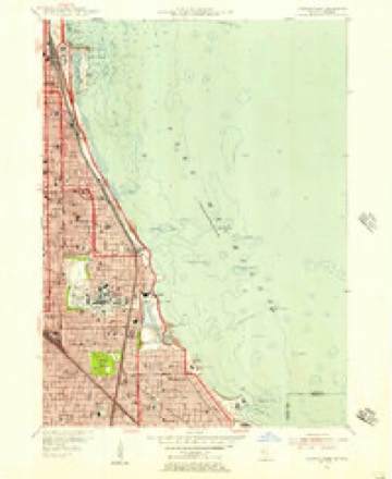
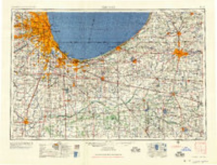
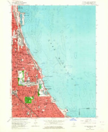
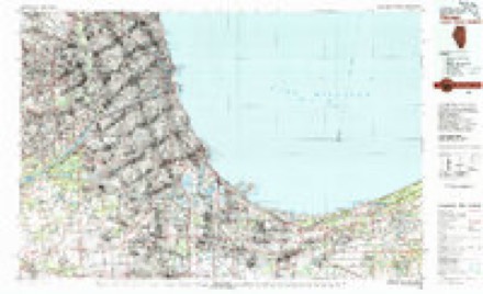
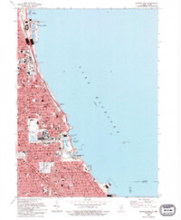
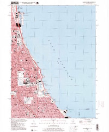
24 topographic sheets cover this place, the earliest surveyed in 1889 and the latest in 1998. It stands in Chicago City. It lies in ZIP code area 60653. The Survey maps it on the Jackson Park quadrangle.
On record in Victor A Olander Homes
Buildings and businesses the archive holds for this place. Each opens its own page, with the source record it came from.
On the National Register within a mile 12 of 13 shown
The National Register names another town for these. They stand within one mile of this settlement's coordinate.
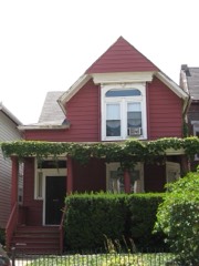 Dr. Daniel Hale Williams HouseNational Historic Landmark · listed 1975 · 0.7 miles away
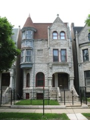 Ida B. Wells-Barnett HouseNational Historic Landmark · listed 1974 · 0.8 miles away
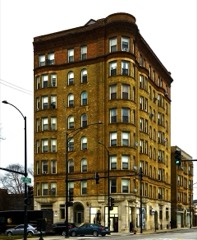 Belmonte Flatslisted 1998 · 0.5 miles away
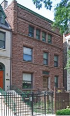 Roche, Martin-John Tait Houselisted 2000 · 0.8 miles away
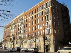 Sutherland Hotellisted 2011 · 0.9 miles away
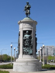 Victory Sculpturelisted 1986 · 0.9 miles away
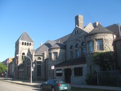 Kenwood Evangelical Churchlisted 1991 · 0.9 miles away
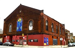 Forum, Thelisted 2019 · 0.9 miles away
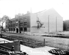 Eighth Regiment Armorylisted 1986 · 0.9 miles away
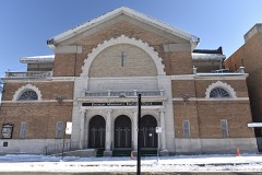 Ebenezer Missionary Baptist Churchlisted 2016 · 0.9 miles away
 South Side Community Art Centerlisted 2018 · 1.0 miles away
- Douglas Tomb State Memoriallisted 1976 · 0.6 miles away
Topographic sheets covering this place
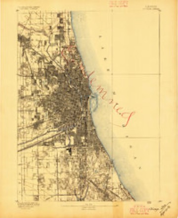
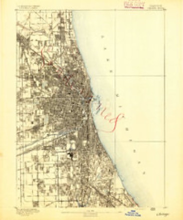
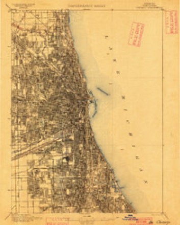
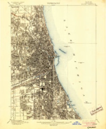
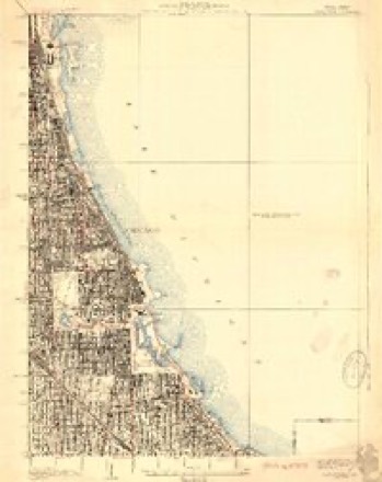
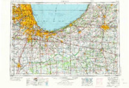
12 surveys from 24 printed sheetsMatched by testing this settlement's coordinate against the published boundary of every sheet in the United States Geological Survey's historical collection. Each opens the scanned sheet at the Survey.
- 1889 USGS Chicago quadrangle1:62500
- 1891 USGS Chicago quadrangle1:62500
- 1900 USGS Chicago quadrangle1:62500
- 1901 USGS Chicago quadrangle1:62500, 5 printings
- 1929 USGS Jackson Park quadrangle1:24000, 3 printings
- 1953 USGS Chicago quadrangle1:250000, 5 printings
- 1953 USGS Jackson Park quadrangle1:24000
- 1957 USGS Chicago quadrangle1:250000
- 1963 USGS Jackson Park quadrangle1:24000, 3 printings
- 1980 USGS Chicago quadrangle1:100000
- 1993 USGS Jackson Park quadrangle1:24000
- 1998 USGS Jackson Park quadrangle1:24000
What happened here
An account from the chapter on Chicago city. The inset identifies its exact source book and publication year.
Index To Content
Chapter I. - First Settler of Chicago, 5. Various Appellations of Chicago. .Garies' River, 6. The Main River Bed Changed. .Chicago in Virginia. .Treaty of Greenville. . Original Site of Chicago. .Illinois in Indiana Territory. .Fort Dearborn Established. .First Commandants of the Fort. .Massacre of 1S12, 7. Captain John and Lieutenant Wm.
In the county-history sources
902,150 words on this townshipPolitics and Politicians of Chicago, Cook County, and Illinois : Memorial Volume, 1787-1887; a Complete Record of Municipal, County, State and National Politics from the Earliest Period to the Present Time, published 1887; ... History of Chicago, Illinois, published 1895; Historical Review of Chicago and Cook County and Selected Biography. A.N. Waterman ... Ed. and Author of Historical Review, published 1908 has no passage naming this settlement, which was common for smaller places. Its township is covered in full.
The chapter on Chicago City covers the township.
Read the chapter on Chicago City - 902,150 words.
Mines and quarries near this place
9 within 5 milesRegional context, not property-specific evidence. The federal mineral resources record lists 9 workings within 5 miles of Victor A Olander Homes: 4 past producers, 3 producers, 2 plants. 5 still produce. What was taken out: Stone, Crushed/Broken, Aluminum, Zinc, Ruthenium, Gold, Iridium, Palladium, Platinum, Silver, Gallium. Distance is straight-line from the map coordinates, so a quarry counted here may appear on a neighbouring settlement's page as well.
| Where | Site | Commodity | Status | Recorded |
|---|---|---|---|---|
| (Facility) Simmons Precious Metals Refinery | Ruthenium, Gold, Iridium, Palladium, Platinum, Silver, Gallium | Plant | ||
| Apex Intl Alloys-Chicago Plant | Aluminum, Zinc | Plant | ||
| Superior Graphite,Chicago Plant | Graphite | Producer | ||
| Us Steel Chicago Plant--South Works | Iron | Producer | ||
| Chicago Union Lime Works Quarry | Stone, Crushed/Broken | Past Producer | ||
| City of Chicago Eng. - Own Crews | Stone, Crushed/Broken | Past Producer | ||
| Cook County Highway Dept.-Own Crews | Stone, Crushed/Broken | Past Producer | ||
| Lyons Quarry | Stone, Crushed/Broken | Producer | ||
| Stearns Lime and Stone Co Quarry | Stone, Crushed/Broken | Past Producer |
Nearest settlements
The eight closest, with where each one stands in the county. Distances are straight-line, computed from the Geographic Names Information System coordinates.
| Map | Place | Distance | Sheets |
|---|---|---|---|
| Oakland | 0.1 miles | 24 | |
| Cleaverville | 0.2 miles | 24 | |
| Grant Village | 0.4 miles | 24 | |
| Berkeley Cottages | 0.4 miles | 24 | |
| Aldine Square | 0.5 miles | 24 | |
| Ida B Wells Housing Project | 0.5 miles | 24 | |
| Oakenwald | 0.7 miles | 24 | |
| Forestville | 0.9 miles | 24 |
Elsewhere
Matched on this settlement's Geographic Names Information System number rather than its name, so it cannot be a different place of the same name in another state.
| Wikidata item Q122559778 | The structured record the population and elevation above come from. Public domain (CC0). |
Provenance
This settlement is recorded in the Geographic Names Information System as feature 1772665. The sheet list is computed by point-in-boundary test against the United States Geological Survey's historical topographic inventory. Both are works of the United States government and carry no copyright under 17 U.S.C. 105.
Mines and quarries. USGS Mineral Resources Data System (MRDS) https://mrdata.usgs.gov/mrds/ A work of the United States government, no copyright under 17 U.S.C. 105.