 Block
Village Square, Illinois
17 topographic sheets cover this place, the earliest surveyed in 1912 and the latest in 1995. It stands in Canton Township. It lies in ZIP code area 61520. The Survey maps it on the Canton quadrangle.
On record in Village Square
Buildings and businesses the archive holds for this place. Each opens its own page, with the source record it came from.
On the National Register within a mile 1 record
The National Register names another town for these. They stand within one mile of this settlement's coordinate.
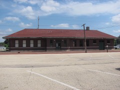 Chicago, Burlington & Quincy Railroad Stationlisted 1993 · 0.9 miles away
Topographic sheets covering this place
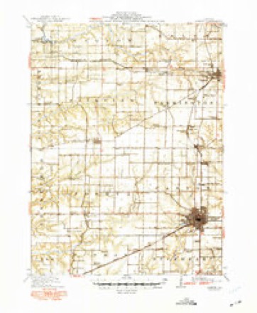
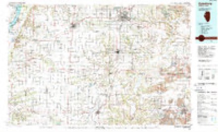
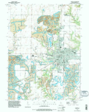
9 surveys from 17 printed sheetsMatched by testing this settlement's coordinate against the published boundary of every sheet in the United States Geological Survey's historical collection. Each opens the scanned sheet at the Survey.
- 1912 USGS Canton quadrangle1:62500, 4 printings
- 1958 USGS Burlington quadrangle1:250000, 4 printings
- 1961 USGS Burlington quadrangle1:250000
- 1963 USGS Burlington quadrangle1:250000
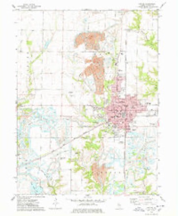
- 1974 USGS Canton quadrangle1:24000
- 1985 USGS Galesburg quadrangle1:100000, 2 printings
- 1989 USGS Galesburg quadrangle1:100000
- 1990 USGS Burlington quadrangle1:250000, 2 printings
- 1995 USGS Canton quadrangle1:24000




What happened here
An account from the chapter on Canton township. The inset identifies its exact source book and publication year.
The Westerfield Defeat
IN the spring of 1832 the Black-Hawk War was a source of great alarm to the citizens of Canton. Major Isaiah Stillman, of Canton, in command of a battalion of volunteer infantry, was in the field, and had under him most of the young men of the community. On the 13th of May, 1832, the force under his command met with a defeat above Dixon, in Lee county, on what has since been known as " Stillman's Run," and the news soon reached Canton, coupled with the fact that Bird Ellis, Tyus Childs and John Walter, from the vicinity of Canton, had been killed, and a number of others from here wounded.
In the county-history sources
88,563 words on this townshipCanton; Its Pioneers and History : a Continuation to the History of Fulton County, published 1871; History of Fulton County, Illinois;, published 1879 has no passage naming this settlement, which was common for smaller places. Its township is covered in full.
The chapter on Canton Township covers the township.
Read the chapter on Canton Township - 88,563 words.
Mines and quarries near this place
3 within 5 milesRegional context, not property-specific evidence. The federal mineral resources record lists 3 workings within 5 miles of Village Square: 3 past producers. None of them still produces. What was taken out: Stone. Distance is straight-line from the map coordinates, so a quarry counted here may appear on a neighbouring settlement's page as well.
| Where | Site | Commodity | Status | Recorded |
|---|---|---|---|---|
| Canton City Pit | Stone | Past Producer | ||
| Fulton City Pit | Stone | Past Producer | ||
| Joshua Township Pit | Stone | Past Producer |
Nearest settlements
The eight closest, with where each one stands in the county. Distances are straight-line, computed from the Geographic Names Information System coordinates.
| Map | Place | Distance | Sheets |
|---|---|---|---|
| Prospect Heights Addition | 0.4 miles | 17 | |
| East Lawndale | 0.4 miles | 17 | |
| Canton | 1.1 miles | 17 | |
| Westview Acres | 1.8 miles | 17 | |
| Rawalts | 2.2 miles | 14 | |
| Brereton | 3.1 miles | 17 | |
| Norris | 4.2 miles | 16 | |
| Monterey | 4.5 miles | 14 |
Provenance
This settlement is recorded in the Geographic Names Information System as feature 1773462. The sheet list is computed by point-in-boundary test against the United States Geological Survey's historical topographic inventory. Both are works of the United States government and carry no copyright under 17 U.S.C. 105.
Mines and quarries. USGS Mineral Resources Data System (MRDS) https://mrdata.usgs.gov/mrds/ A work of the United States government, no copyright under 17 U.S.C. 105.