 Block
Waltham, Illinois
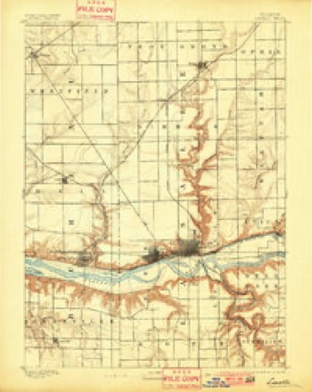
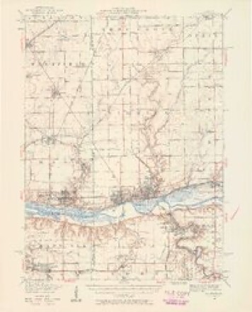
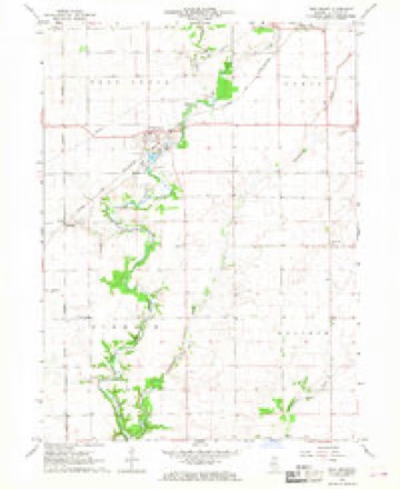
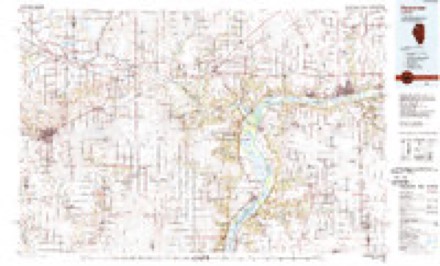
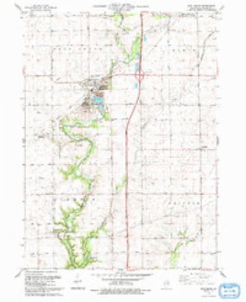
20 topographic sheets cover this place, the earliest surveyed in 1893 and the latest in 1993. It stands in Waltham Township. It lies in ZIP code area 61373. The Survey maps it on the Troy Grove quadrangle. It stands 692 feet above sea level.
Topographic sheets covering this place
10 surveys from 20 printed sheetsMatched by testing this settlement's coordinate against the published boundary of every sheet in the United States Geological Survey's historical collection. Each opens the scanned sheet at the Survey.
- 1893 USGS La Salle quadrangle1:62500, 2 printings
- 1893 USGS Lasalle quadrangle1:62500, 2 printings
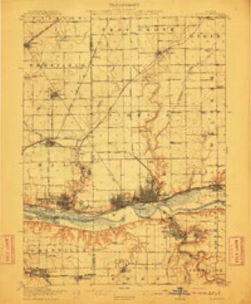
- 1911 USGS La Salle quadrangle1:62500
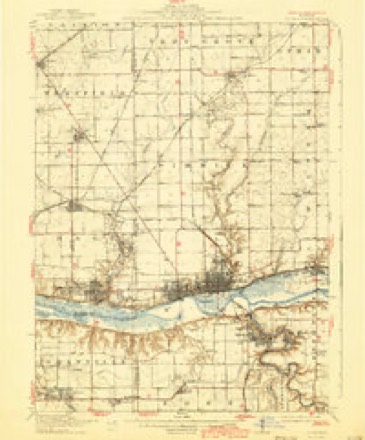
- 1913 USGS La Salle quadrangle1:62500, 4 printings
- 1947 USGS La Salle quadrangle1:62500, 2 printings
- 1958 USGS Aurora quadrangle1:250000, 3 printings
- 1961 USGS Aurora quadrangle1:250000
- 1966 USGS Troy Grove quadrangle1:24000, 2 printings
- 1985 USGS Kewanee quadrangle1:100000, 2 printings
- 1993 USGS Troy Grove quadrangle1:24000


In the county-history sources
490 words on this townshipHistory of LaSalle County, Illinois : Its Topography, Geology, Botany, Natural History, History of the Mound Builders, Indian Tribes, French Explorations, and a Sketch of the Pioneer Settlers of Each Town to 1840, with an Appendix, Giving the Present Status of the County, Its Population, Resources, Manufactures and Institutions, published 1877 names this settlement in its chapter on Waltham Township. These are the passages that mention it, exactly as the scans read.
Thomas Burnham settled in the extreme sonthwest corner in 1834, Some others came in that locality in 1834, but the firston Waltham Ridge was Joncsand others, in 1838, and it peopled slowly till after 1850, when it filled up rapidly in common with all the prairie towns, The principal part of the town is high, rolling and desirable land, and is mostly coyered with first class improvements. The town has no railroad, but it has 2 good and convenient market at Utica and La Salle, sending its products to market by cheap canal transportation. There is a French settlement of considerable numbers in the northeast part of the town, and anumber of Scotch in the northwest. Several of the early settlers on Waltham Ridge were from Waltham, Mass, hence thename.
Thomas Burnham, and wife, Olimena Clark, of Granby, Mass., came from Lisbon, Ct, and settled on the Illinois bottom, opposite Rockwell, in July, 1833. The family were all sick. David Letts moved them to Cedar Point, where they made a claim. In September, 1834, he sold to Lewis Waldoand moved on to 8. 30, T. 34, R. 2, now the town of Waltham. He filled the offices of Justice of the Peace und County Commissioner for several years. He died in May, 1845. He and his wife and aged father were buried on the farm, but have been removed to Oakwood Cemetery, La Salle, and a sister has placed a stone to their memory. Mr. Burnham was the first settler ; erected the first dwelling, broke the first prairie, and raised the first crop in the town of Waltham. He left two sons: John, the first male child,
Massachusetts; settled on 8. 4, in 1838. He went East to be married in 1840, and was accidentally shot. George Nye, from Plaintield, Connecticut, one of the Rockwell colony; settled on 8. 4, in 1840 ; died 1865. His widow now lives in Homer. One son in Towa, and one daughter, the wife of William Dana, is in Waltham.
Machine-read from a century-old scan, so expect the errors a machine makes: misspelled names, dropped words, stray characters.
Read the whole chapter on Waltham Township - it names this place 2 more 2 times.
Fires near this place
13 since 2013Regional context, not property-specific evidence. The federal wildfire occurrence database lists 13 fires within 5 miles of Waltham between 2013 and 2017, burning about 52 acres in total. None started naturally. None was recorded as arson. Distance is straight-line from the map coordinates, so a fire counted here may appear on a neighbouring settlement's page as well.
| Reported cause | Fires |
|---|---|
| Debris and open burning | 6 |
| Missing data/not specified/undetermined | 5 |
| Smoking | 1 |
| Equipment and vehicle use | 1 |
The most recent of them, most recent first, with the day each was reported and the service that recorded it.
| Date | Cause | Size | Reported by | Name on the report |
|---|---|---|---|---|
| 26 September 2017 | Equipment and vehicle use | under an acre | Illinois Division of Forestry Resources | 17-271 |
| 5 May 2014 | Debris and open burning | under an acre | Illinois Division of Forestry Resources | 14-0000062 |
| 15 May 2013 | Missing data/not specified/undetermined | under an acre | Illinois Division of Forestry Resources | 13-0000049 |
| 13 May 2013 | Missing data/not specified/undetermined | under an acre | Illinois Division of Forestry Resources | 13-0000047 |
| 3 April 2013 | Missing data/not specified/undetermined | under an acre | Illinois Division of Forestry Resources | 13-0000027 |
| 11 April 2014 | Debris and open burning | 40 acres | Illinois Division of Forestry Resources | 14-0000047 |
| 28 March 2013 | Debris and open burning | under an acre | Illinois Division of Forestry Resources | 13-0000024 |
| 22 March 2017 | Missing data/not specified/undetermined | under an acre | Illinois Division of Forestry Resources | 17-065 |
Settlements close enough to share some of these fires:
Mines and quarries near this place
6 within 5 milesRegional context, not property-specific evidence. The federal mineral resources record lists 6 workings within 5 miles of Waltham: 3 past producers, 2 producers, 1 plant. 3 still produce. What was taken out: Sand and Gravel, Construction, Stone, Crushed/Broken, Silica. Distance is straight-line from the map coordinates, so a quarry counted here may appear on a neighbouring settlement's page as well.
| Where | Site | Commodity | Status | Recorded |
|---|---|---|---|---|
| Manley Bros. Troy Grove Pit | Silica | Plant | ||
| Prairie State Plant & Quarry | Stone, Crushed/Broken | Producer | ||
| Troy Grove Plant & Quarry | Stone, Crushed/Broken | Producer | ||
| C. Baker Pit | Sand and Gravel, Construction | Past Producer | ||
| Koob Pit | Sand and Gravel, Construction | Past Producer | ||
| Wetherby Pit | Sand and Gravel, Construction | Past Producer |
Nearest settlements
The eight closest, with where each one stands in the county. Distances are straight-line, computed from the Geographic Names Information System coordinates.
| Map | Place | Distance | Sheets |
|---|---|---|---|
| Troy Grove | 4.5 miles | 20 | |
| Triumph | 4.6 miles | 20 | |
| Prairie Center | 4.7 miles | 25 | |
| Tomahawk Bluff | 5.3 miles | 20 | |
| Dimmick | 5.6 miles | 20 | |
| Utica | 6.4 miles | 21 | |
| Culton (historical) | 6.7 miles | 20 | |
| Freedom Centre (historical) | 7.7 miles | 25 |
Elsewhere
Matched on this settlement's Geographic Names Information System number rather than its name, so it cannot be a different place of the same name in another state.
| Wikipedia article on Waltham | An encyclopaedic summary. Its text is share-alike, so it is linked here rather than copied. |
| Wikidata item Q7966587 | The structured record the population and elevation above come from. Public domain (CC0). |
Provenance
This settlement is recorded in the Geographic Names Information System as feature 423284. The sheet list is computed by point-in-boundary test against the United States Geological Survey's historical topographic inventory. Both are works of the United States government and carry no copyright under 17 U.S.C. 105.
Wildfire. Short, Karen C. 2022. Spatial wildfire occurrence data for the United States, 1992-2020 [FPA_FOD_20221014]. 6th Edition. Fort Collins, CO: Forest Service Research Data Archive. https://doi.org/10.2737/RDS-2013-0009.6 Collected with United States Government funding and usable without additional permissions or fees.
Mines and quarries. USGS Mineral Resources Data System (MRDS) https://mrdata.usgs.gov/mrds/ A work of the United States government, no copyright under 17 U.S.C. 105.