 Block
Wolf Creek, Illinois
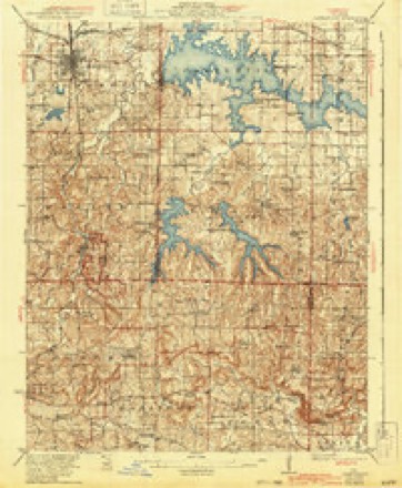
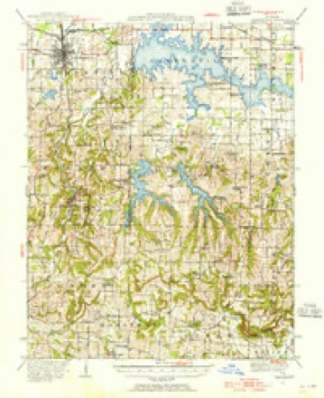
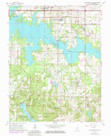
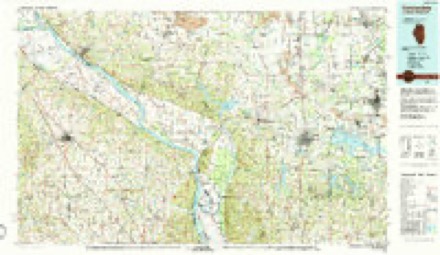
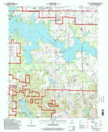
23 topographic sheets cover this place, the earliest surveyed in 1922 and the latest in 1996. It stands in Grassy precinct. It lies in ZIP code area 62902. The Survey maps it on the Crab Orchard Lake quadrangle.
Topographic sheets covering this place
12 surveys from 23 printed sheetsMatched by testing this settlement's coordinate against the published boundary of every sheet in the United States Geological Survey's historical collection. Each opens the scanned sheet at the Survey.
- 1922 USGS Carbondale quadrangle1:62500, 3 printings
- 1941 USGS Carbondale quadrangle1:62500, 2 printings
- 1949 USGS Paducah quadrangle1:250000, 2 printings
- 1950 USGS Paducah quadrangle1:250000
- 1954 USGS Paducah quadrangle1:250000, 2 printings
- 1961 USGS Paducah quadrangle1:250000, 2 printings
- 1964 USGS Paducah quadrangle1:250000, 2 printings
- 1966 USGS Crab Orchard Lake quadrangle1:24000, 4 printings
- 1984 USGS Carbondale quadrangle1:100000
- 1986 USGS Carbondale quadrangle1:100000
- 1987 USGS Paducah quadrangle1:250000
- 1996 USGS Crab Orchard Lake quadrangle1:24000, 2 printings






Fires near this place
66 since 1992Regional context, not property-specific evidence. The federal wildfire occurrence database lists 66 fires within 5 miles of Wolf Creek between 1992 and 2020, burning about 224 acres in total. 1 started naturally. 14 were recorded as arson. Distance is straight-line from the map coordinates, so a fire counted here may appear on a neighbouring settlement's page as well.
| Reported cause | Fires |
|---|---|
| Missing data/not specified/undetermined | 16 |
| Smoking | 15 |
| Arson/incendiarism | 14 |
| Debris and open burning | 8 |
| Recreation and ceremony | 4 |
| Equipment and vehicle use | 4 |
| Other causes | 3 |
| Power generation/transmission/distribution | 1 |
| Natural | 1 |
The most recent of them, most recent first, with the day each was reported and the service that recorded it.
| Date | Cause | Size | Reported by | Name on the report |
|---|---|---|---|---|
| 28 September 1999 | Smoking | under an acre | Crab Orchard National Wildlife Refuge | DKLINE#17 |
| 28 September 1999 | Smoking | under an acre | Crab Orchard National Wildlife Refuge | DKLINE#17R |
| 28 September 1999 | Smoking | 2.2 acres | Crab Orchard National Wildlife Refuge | DKLINE#4 |
| 26 September 1998 | Missing data/not specified/undetermined | 1.0 acres | Crab Orchard National Wildlife Refuge | PRIMX13611 |
| 9 August 2010 | Missing data/not specified/undetermined | 2.0 acres | Illinois Division of Forestry Resources | 10169 |
| 4 August 2010 | Missing data/not specified/undetermined | under an acre | Crab Orchard National Wildlife Refuge | WOLF |
| 24 August 2012 | Equipment and vehicle use | under an acre | Crab Orchard National Wildlife Refuge | GRASS |
| 22 August 2012 | Missing data/not specified/undetermined | under an acre | Crab Orchard National Wildlife Refuge | MILE MARKER 48 |
Settlements close enough to share some of these fires:
Storms near this place
6 since 2011Regional context, not property-specific evidence. The National Weather Service names Wolf Creek in 6 storm reports between 2011 and 2025: 3 tornado, 1 hail, 1 heavy rain, 1 thunderstorm wind. The reports record 7 injuries. Each account below is quoted exactly as the forecast office filed it, from the NOAA Storm Events Database, and each date opens the federal record of that event.
| When | Event | Place named | Harm | What the report says |
|---|---|---|---|---|
| May 2025 | Tornado (EF4) | Wolf Creek | 7 hurt, $25,000,000 | A violent EF-4 tornado with peak winds of 190 mph impacted southern Williamson County, IL, during the early evening hours of Friday, May 16, 2025. The tornado began near the intersection of Spillway Road and Grassy Road doing mainly tree damage. As it moved eastward, the tornado intensified as it approached I-57. The tornado strengthened to EF-3 levels, where it removed the roofs of several homes of the staff of the U.S. Penitentiary just south of the main prison complex. The tornado debarked, and reduced to stubs, numerous trees adjacent to I-57. Multiple videos of this tornado were taken around the time it crossed I-57. The tornado continued at EF-3 strength as it damaged homes along IL-37 and north of Hudgens Road. The tornado reached peak intensity after crossing Market Road and into a subdivision just east of Andrew Road and north of Quarter Horse Road. Four homes on Kyler Court and Leslie Court sustained EF-3 damage. In addition, a newer two-story home with standard construction was completely swept off its foundation at the end of Kyler Court, which supported a rating of EF-4 with peak winds of 190 mph. The wooded area just east of Kyler Court saw extreme stubbing and some debarking of trees. The tornado continued eastward, destroying or severely damaging several homes at EF-2 or EF-3 strength on Wards Mill Road. Additional homes were destroyed at EF-3 damage levels a couple miles to the east on Highway 166. After crossing Highway 166, the tornado turned to the east-southeast and began to weaken, eventually lifting near the intersection of Mauseyville Road and Tyler Bridge Road. There were no fatalities, but seven people sustained non-life-threatening injuries. |
| February 2012 | Tornado (EF2) | Wolf Creek | $100,000 | The tornado was spawned by the same supercell that produced an EF-2 tornado in Union and extreme southeast Jackson Counties. The tornado touched down in the Crab Orchard National Wildlife Refuge, just southeast of Little Grassy Lake. The tornado moved east-northeast across Interstate 57, passing south of Marion. A large metal warehouse building was heavily damaged. Numerous homes sustained mainly minor roof damage. Hundreds of trees were snapped or uprooted, and many power lines were blown down. Several barns and outbuildings were destroyed or heavily damaged. The peak EF-2 intensity estimate was based on damage southeast of Marion, near the location where the tornado crossed Highway 166. Peak winds were estimated near 120 mph. The average path width was 250 yards. |
| February 2012 | Thunderstorm Wind | Wolf Creek | $50,000 | A downburst averaging 1/2 mile wide resulted in thousands of trees being snapped or uprooted in the Devil's Kitchen Lake area, around and east of the Giant City State Park area. Peak winds were estimated near 100 mph. |
| May 2024 | Tornado (EF1) | Wolf Creek | $10,000 | An EF-1 tornado entered into Williamson County from Jackson County at S. County Line Rd. Damage was primarily to tree limbs along a path continuing eastward. A large tree was uprooted on Skyhawk Road. Moving east, a barn suffered roof damage on New Hope Road. The tornado lifted after crossing Spillway Road on the southwest side of Crab Orchard National Wildlife Refuge. Video of this tornado was shared on social media. Peak winds for the Williamson County portion of this tornado, and for the tornado as a whole, were estimated at 90 mph. |
| June 2011 | Heavy Rain | Wolf Creek | - | Standing water was over several low-lying streets in Herrin. A trained spotter south of Carterville near Devils Kitchen Lake measured 5.2 inches of rain. Most of this rain fell in a three-hour period. |
| April 2011 | Hail | Wolf Creek | - | no account filed |
Nearest settlements
The eight closest, with where each one stands in the county. Distances are straight-line, computed from the Geographic Names Information System coordinates.
| Map | Place | Distance | Sheets |
|---|---|---|---|
| Bakers Crossroads | 3.3 miles | 23 | |
| Chamness (historical) | 4.9 miles | 20 | |
| Neilson | 4.9 miles | 20 | |
| Kelleys | 5.2 miles | 20 | |
| Sleepy Hollow | 5.8 miles | 20 | |
| Woodland Hills | 5.9 miles | 20 | |
| Cedar Hills | 6.0 miles | 20 | |
| Clifty Heights | 6.1 miles | 20 |
Provenance
This settlement is recorded in the Geographic Names Information System as feature 423328. The sheet list is computed by point-in-boundary test against the United States Geological Survey's historical topographic inventory. Both are works of the United States government and carry no copyright under 17 U.S.C. 105.
Wildfire. Short, Karen C. 2022. Spatial wildfire occurrence data for the United States, 1992-2020 [FPA_FOD_20221014]. 6th Edition. Fort Collins, CO: Forest Service Research Data Archive. https://doi.org/10.2737/RDS-2013-0009.6 Collected with United States Government funding and usable without additional permissions or fees.
Storms. NOAA National Centers for Environmental Information, Storm Events Database https://www.ncei.noaa.gov/stormevents/ A work of the United States government, no copyright under 17 U.S.C. 105. Narratives are quoted verbatim from the National Weather Service report and are not edited or summarised.