 Block
Woodburn, Illinois
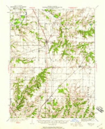
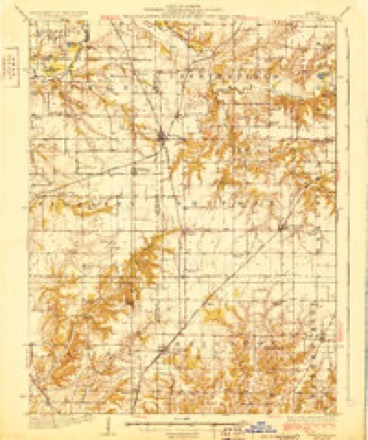
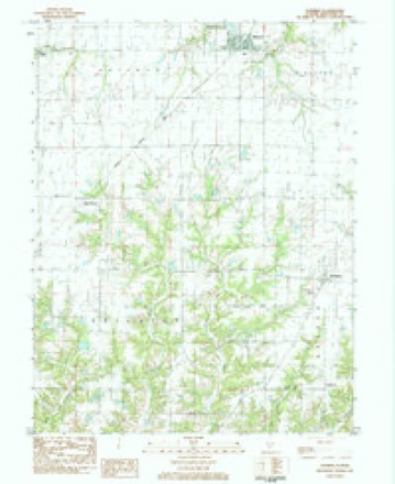
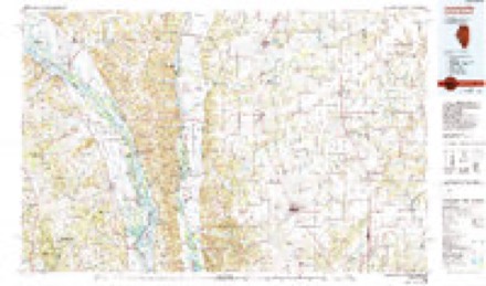
12 topographic sheets cover this place, the earliest surveyed in 1925 and the latest in 1985. It stands in Bunker Hill Township. It lies in ZIP code area 62014. The Survey maps it on the Shipman quadrangle.
Topographic sheets covering this place
6 surveys from 12 printed sheetsMatched by testing this settlement's coordinate against the published boundary of every sheet in the United States Geological Survey's historical collection. Each opens the scanned sheet at the Survey.
- 1925 USGS Brighton quadrangle1:62500, 2 printings
- 1928 USGS Brighton quadrangle1:62500, 2 printings
- 1948 USGS Quincy quadrangle1:250000, 2 printings
- 1956 USGS Quincy quadrangle1:250000, 3 printings
- 1983 USGS Shipman quadrangle1:24000
- 1985 USGS Jerseyville quadrangle1:100000, 2 printings


In the county-history sources
1,023 words on this townshipHistory of Macoupin County, Illinois : Biographical and Pictorial, published 1911 names this settlement in its chapter on Bunker Hill Township. These are the passages that mention it, exactly as the scans read.
In 1833 a postoffice was established and called Lincoln, the first postmaster being Anthony Linder. He was succeeded by a Mr. Cook, while in 1837 Samuel Buell took charge of the office. In November of the latter year the postoffice was transferred to Bunker Hill. Nathaniel Phillips was the first postmaster appointed after the removal of the office to Bunker Hill. Josiah Richards acted as assistant. In 1837 a postoffice was also established in Woodburn.
Passage source: History of Macoupin County, Illinois : Biographical and Pictorial, published 1911.
.: ' Elder William Jones, a Baptist, preached the first sermon in the schoolhouse which stood on section 21. Alexander Conley was the first resident minister in the township. Rev. Gimlin was also a pioneer minister here. He was also of the Baptist faith. The first church was erected by the "hard shell" Baptists on section 33, while the second in the township was built by the Congregational people at Woodburn.
Passage source: History of Macoupin County, Illinois : Biographical and Pictorial, published 1911.
Machine-read from a century-old scan, so expect the errors a machine makes: misspelled names, dropped words, stray characters.
Fires near this place
8 since 2009Regional context, not property-specific evidence. The federal wildfire occurrence database lists 8 fires within 5 miles of Woodburn between 2009 and 2010, burning about 50 acres in total. None started naturally. None was recorded as arson. Distance is straight-line from the map coordinates, so a fire counted here may appear on a neighbouring settlement's page as well.
| Reported cause | Fires |
|---|---|
| Missing data/not specified/undetermined | 7 |
| Smoking | 1 |
The most recent of them, most recent first, with the day each was reported and the service that recorded it.
| Date | Cause | Size | Reported by | Name on the report |
|---|---|---|---|---|
| 6 March 2010 | Missing data/not specified/undetermined | 1.5 acres | Illinois Division of Forestry Resources | HOPKINS |
| 29 March 2010 | Smoking | under an acre | Illinois Division of Forestry Resources | TITCHNAL |
| 21 March 2009 | Missing data/not specified/undetermined | under an acre | Illinois Division of Forestry Resources | 90334 |
| 20 March 2009 | Missing data/not specified/undetermined | 2.0 acres | Illinois Division of Forestry Resources | 90331 |
| 14 March 2009 | Missing data/not specified/undetermined | under an acre | Illinois Division of Forestry Resources | 90321 |
| 22 February 2009 | Missing data/not specified/undetermined | under an acre | Illinois Division of Forestry Resources | 90214 |
| 13 October 2010 | Missing data/not specified/undetermined | 5.0 acres | Illinois Division of Forestry Resources | STARKS |
| 15 January 2009 | Missing data/not specified/undetermined | 40 acres | Illinois Division of Forestry Resources | 90117 |
Settlements close enough to share some of these fires:
Storms near this place
8 since 2000Regional context, not property-specific evidence. The National Weather Service names Woodburn in 8 storm reports between 2000 and 2013: 5 hail, 2 thunderstorm wind, 1 flash flood. No death or injury is recorded in these reports. Each account below is quoted exactly as the forecast office filed it, from the NOAA Storm Events Database, and each date opens the federal record of that event.
| When | Event | Place named | Harm | What the report says |
|---|---|---|---|---|
| May 2000 | Hail | Woodburn | $160,000 | no account filed |
| April 2013 | Thunderstorm Wind | Woodburn | - | Thunderstorm winds snapped off the tops of a couple of trees along Brighton Bunker Hill Road about halfway between Brighton and Bunker Hill. |
| May 2009 | Flash Flood | Woodburn | - | Up to 5 inches of rain fell in a short amount of time causing flash flooding in the Bunker Hill area. Several roads were closed due to the flooding. |
| August 2008 | Thunderstorm Wind | Woodburn | - | The line of severe storms moved across southern portions of Macoupin county. A microburst occurred just south of Bunker Hill. Numerous trees, tree limbs and power lines were blown down. Also, a mobile home 4 miles east of Brighton was damaged by two fallen trees and another home one and a half miles south of Bunker Hill was damaged by a fallen tree. Three of four roofs were torn off of the relatively new dugouts at the Bunker Hill High School baseball fields. Small outbuildings and barns sustained minor damage in the area due to the microburst winds. |
| August 2003 | Hail | Woodburn | - | Storm spotters reported golfball size hail. |
| April 2012 | Hail | Woodburn | - | no account filed |
| April 2011 | Hail | Woodburn | - | no account filed |
| May 2010 | Hail | Woodburn | - | no account filed |
Nearest settlements
The eight closest, with where each one stands in the county. Distances are straight-line, computed from the Geographic Names Information System coordinates.
| Map | Place | Distance | Sheets |
|---|---|---|---|
| Bunker Hill | 3.2 miles | 12 | |
| Millville | 4.0 miles | 12 | |
| Centerville | 4.1 miles | 12 | |
| Royal Lakes | 5.1 miles | 12 | |
| Shipman | 5.1 miles | 12 | |
| Miles Station | 5.3 miles | 12 | |
| Brighton | 6.8 miles | 12 | |
| Dorchester | 7.1 miles | 12 |
Provenance
This settlement is recorded in the Geographic Names Information System as feature 421419. The sheet list is computed by point-in-boundary test against the United States Geological Survey's historical topographic inventory. Both are works of the United States government and carry no copyright under 17 U.S.C. 105.
Wildfire. Short, Karen C. 2022. Spatial wildfire occurrence data for the United States, 1992-2020 [FPA_FOD_20221014]. 6th Edition. Fort Collins, CO: Forest Service Research Data Archive. https://doi.org/10.2737/RDS-2013-0009.6 Collected with United States Government funding and usable without additional permissions or fees.
Storms. NOAA National Centers for Environmental Information, Storm Events Database https://www.ncei.noaa.gov/stormevents/ A work of the United States government, no copyright under 17 U.S.C. 105. Narratives are quoted verbatim from the National Weather Service report and are not edited or summarised.