 Block
Woody, Illinois
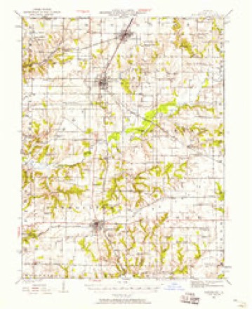
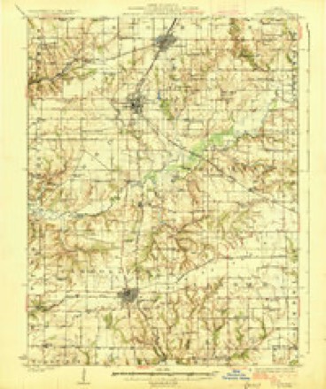
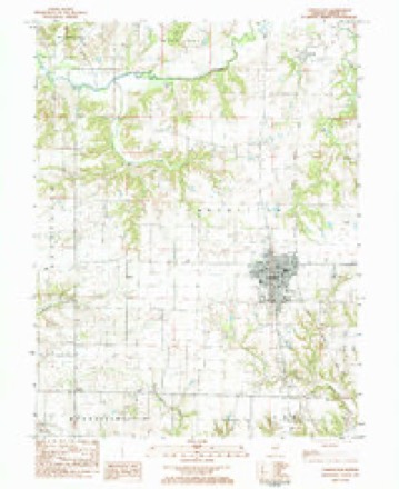
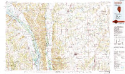
12 topographic sheets cover this place, the earliest surveyed in 1924 and the latest in 1985. It stands in Bluffdale Township. It lies in ZIP code area 62027. The Survey maps it on the Carrollton quadrangle.
Topographic sheets covering this place
6 surveys from 12 printed sheetsMatched by testing this settlement's coordinate against the published boundary of every sheet in the United States Geological Survey's historical collection. Each opens the scanned sheet at the Survey.
- 1924 USGS Roodhouse quadrangle1:62500, 2 printings
- 1926 USGS Roodhouse quadrangle1:62500, 2 printings
- 1948 USGS Quincy quadrangle1:250000, 2 printings
- 1956 USGS Quincy quadrangle1:250000, 3 printings
- 1983 USGS Carrollton quadrangle1:24000
- 1985 USGS Jerseyville quadrangle1:100000, 2 printings


In the county-history sources
1,854 words on this townshipHistory of Greene County, Illinois : Its Past and Present, Containing a History of the County ; Its Cities, Towns, Etc. ; a Biographical Directory of Its Citizens ; War Record.., published 1879 has no passage naming this settlement, which was common for smaller places. Its township is covered in full.
The chapter on Bluffdale Township covers the township.
Read the chapter on Bluffdale Township - 1,854 words.
Mines and quarries near this place
2 within 5 milesRegional context, not property-specific evidence. The federal mineral resources record lists 2 workings within 5 miles of Woody: 2 past producers. None of them still produces. What was taken out: Stone, Crushed/Broken, Stone. Distance is straight-line from the map coordinates, so a quarry counted here may appear on a neighbouring settlement's page as well.
| Where | Site | Commodity | Status | Recorded |
|---|---|---|---|---|
| Carrollton City Pit | Stone | Past Producer | ||
| Eldred Stone Co. Quarry | Stone, Crushed/Broken | Past Producer |
Storms near this place
3 since 2015Regional context, not property-specific evidence. The National Weather Service names Woody in 3 storm reports between 2015 and 2024: 2 thunderstorm wind, 1 tornado. No death or injury is recorded in these reports. Each account below is quoted exactly as the forecast office filed it, from the NOAA Storm Events Database, and each date opens the federal record of that event.
| When | Event | Place named | Harm | What the report says |
|---|---|---|---|---|
| May 2024 | Thunderstorm Wind | Woody | - | A machine shed was damaged with debris spread across the farm field. Also several large tree limbs were snapped. |
| July 2020 | Thunderstorm Wind | Woody | - | Thunderstorm winds blew down a large tree limb about 2 miles north of Woody, damaging a deck on a house. In Carrollton, several trees, as well as power lines, were blown down around town. |
| May 2015 | Tornado (EF1) | Woody | - | A tornado touched down about four tenths of a mile north of the intersection of County Roads 1000N and 875E, just east of County Road 875E. In this location, it snapped a large tree off and took the roof off of a barn. The barn was shifted on its foundation. Also, an empty grain bin was destroyed and thrown a quarter of a mile to the northeast. It moved to the northeast and after it crossed County Road 950E, it broke off a number of large tree limbs from a stand of trees. As the tornado moved into the west side of Carrollton, it destroyed a small shed with 2x4s from it impaled into the house across the street. Numerous trees were either snapped or uprooted on the west and north sides of town. On 10th Street just south of South Main Street, a manufactured home lost its entire roof. Just a block northeast, a quarter of the roof of a metal Farm Services building was blown off. Also, the southeast corner of the building had the wall blown inward. A resale shop on the northside of Illinois Route 108 lost part of its metal roof. Further northeast, a number of trees were either snapped off or uprooted. Then the tornado crossed U.S. Highway 67 north of intersection with Parkview Drive. More tree damage occurred on County Road 1400N about seven tenths of a mile west of County Road 1250E. The tornado lifted and dissipated just north of County Road 1400N. Overall, the tornado was rated EF1 with top wind speeds of 104 MPH. Max path width was 200 yards and the length was 4.68 miles. |
Nearest settlements
The eight closest, with where each one stands in the county. Distances are straight-line, computed from the Geographic Names Information System coordinates.
| Map | Place | Distance | Sheets |
|---|---|---|---|
| Hurricane (historical) | 2.0 miles | 12 | |
| Kaser | 2.7 miles | 12 | |
| Eldred | 3.9 miles | 12 | |
| Carrollton | 4.9 miles | 12 | |
| Clark | 4.9 miles | 12 | |
| Conwayville (historical) | 4.9 miles | 12 | |
| Boyle | 5.1 miles | 12 | |
| King | 5.5 miles | 14 |
Provenance
This settlement is recorded in the Geographic Names Information System as feature 423337. The sheet list is computed by point-in-boundary test against the United States Geological Survey's historical topographic inventory. Both are works of the United States government and carry no copyright under 17 U.S.C. 105.
Mines and quarries. USGS Mineral Resources Data System (MRDS) https://mrdata.usgs.gov/mrds/ A work of the United States government, no copyright under 17 U.S.C. 105.
Storms. NOAA National Centers for Environmental Information, Storm Events Database https://www.ncei.noaa.gov/stormevents/ A work of the United States government, no copyright under 17 U.S.C. 105. Narratives are quoted verbatim from the National Weather Service report and are not edited or summarised.