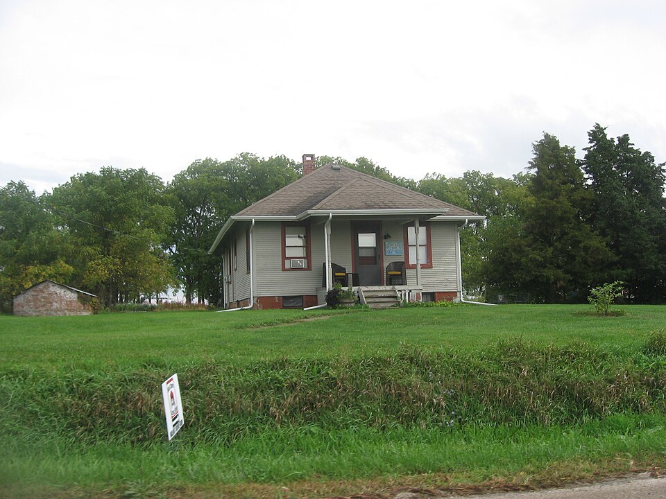
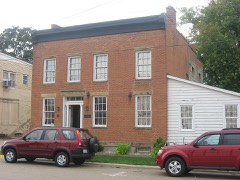
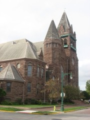
Listed on the National Register of Historic Places in 1989.
From the record
“The Walnut Grove Farm is a farm complex and historic district located on Knox Station Road 1 mile (1.6 km) north of Knoxville, Illinois. Charles, the son of one of Knoxville's founders, established the farm in 1835.”
Wikipedia article Walnut Grove Farm (Knoxville, Illinois), CC BY-SA 4.0.
One of 7 National Register listings published here for Knox County · listed in 1989 · category: District.
National Register reference number.89001114- the number the National Park Service assigned this property when it was listed, and the key its nomination file is catalogued under at the National Archives.
The township has timber land distributed very freely over it. Here some of the earliest settlers of the county located, the present site of Knoxville being first settled by Parry Morris. John Montgomery, who settled on section 30, was among the first settlers. He has gone from this place to Rushville, Schuyler county, to have his milling done. The first sermon preached in the township was by Elder Jacob Gum, the first preacher in Knox county. The first death occurring was that of a child of a Mr. Taber. David Huggins of this township made the first cheese that was ever manufactured in the county. This he carried to Galena, and sold for 7J cents a pound. The first church organized in the township was in 1835, and by the following six persons from three different denominations, but seemingly inclining to the Presbyterian faith, as they called their church the " Old School Presbyterian:" David Huggins and wife, Mrs. Jackson and daughter, M. Owen and Mrs. J. G. Sanburn.
Knox township, Knox county, Illinois, goes to par in this, the year of our Lord, 1919. In the early days of a century ago, as was mete and proper, counties and towns were named after famous generals of the wars of preceding years, and Knox county, Knox township and Knoxville have always pointed with pride to the brave General Henry Knox, a soldier of the war of the revolution, who commanded the storming party at the battle of Stony Point. After a major general and Washington's secretary of state this garden of Eden was named. "For there was nothing base or small, or craven, in his soul's broad plan." In his second annual message to the House of Representatives, November 6, 1818, President Monroe laid before that body for their advice and consent the several treaties which had been made with the twenty-five tribes of Indians. By reference to the journal of commissioners it appeared that George and Levi Calbert had bargained and sold to the United States the reservations made to them by the treaty of 1816, and that a deed of trust had been made by them to James Jackson of Nashville, Tennessee. He therefore suggested that in case the Chickasaw treaty was approved by the senate the propriety of providing for the payment of the sum stipulated to be given to them for their reservation. The land upon which Knox county was located was, therefore, ceded to the United States, August 30th, 1819, just a hundred years ago. The exact location of the township is number eleven north of range two east and is marked by the C, B. & Q. railway survey as being the highest point of land and almost equi-distant between the Illinois and Mississippi rivers. According to the state records, Knoxville is the tenth town incorporated in the State of Illinois. The land is a rich, alluvial soil, being thoroughly drained on the south by Haw Creek and on the north by Court Creek. It was on this high point that the Indians and many friendly tribes, passing through from Peoria Lake to the Mississippi River, found a pleasant home, and there are many evidences that this point was their headquarters for many years. On the road which led north from Hebard street, recently closed, many arrow heads and chips of flint were found. The early settlers found a cleared plot of ground about a half mile north of town showing evidences of having been used for raising crops. Surrounding this field was a dense timber of white and black oak trees of immense size, growing so closely together that the sun could scarcely shine through the leaves. But closer and on the border of the clearing, was an abundance of wild fruit, including strawberries, raspberries and blackberries, while immense wild cherry, red and black haw trees bore fruit of most excellent quality and in great abundance. So carefully had this
Regional context, not property-specific
evidence. The federal mineral resources record lists
2 workings within 5 miles of Walnut Grove Farm: 2 past producers.
None of them still produces. What was taken out: Clay, Sand and Gravel, Construction. Distance is straight-line from the
map coordinates, so a quarry counted here may appear on a neighbouring
settlement's page as well.
Regional context, not property-specific
evidence. The National Weather Service names
Knoxville, the town this property stands in, in 12 storm reports between 1996 and 2024: 6 hail, 5 thunderstorm wind, 1 flash flood.
No death or injury is recorded in these reports. Each account below is quoted exactly as the forecast office
filed it, from the NOAA Storm Events Database, and each date
opens the federal record of that event.
As a severe thunderstorm moved northeast across Knox County, thunderstorm winds blew over a semi on I-74 one mile northeast of Knoxville. The driver was not injured. The winds also blew over several trees and caused minor damage to 5 homes in the area. Also, a part of the roof of a machine shed was peeled off and a garage was destroyed. Damage is estimated around $100,000.
No historic map-sheet match is published
for this property yet. That does not mean no map exists. This record needs
a coordinate-quality review before it can be joined to a sheet boundary.
Browse the county's mapped places while that work is
pending.
Listed places nearby
5 within 8 miles
Other National Register properties close
enough to walk or drive between, ordered by distance from this one. Both
positions come from the same geocoding pass that matched these properties
to their map sheets.
Listing record. National Park Service National Register of Historic Places, listed-properties dataset, current to 2026-05-22.
Map join. Address geocoded through the United States Census geocoder, then tested against the published boundary of every sheet in the USGS Historical Topographic Map Collection.
How this page is made. Listing fields come from federal records; map-sheet coverage is a labelled coordinate-to-boundary calculation, not a source-field claim.
Mines and quarries. USGS Mineral Resources Data System (MRDS) https://mrdata.usgs.gov/mrds/ A work of the United States government, no copyright under 17 U.S.C. 105.
Storms. NOAA National Centers for Environmental Information, Storm Events Database https://www.ncei.noaa.gov/stormevents/ A work of the United States government, no copyright under 17 U.S.C. 105. Narratives are quoted verbatim from the National Weather Service report and are not edited or summarised.
 Block