 Block
Bramble, Indiana
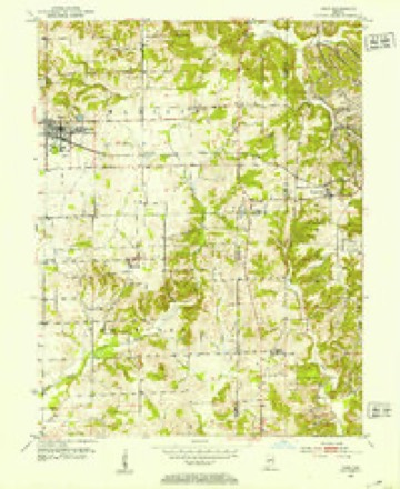
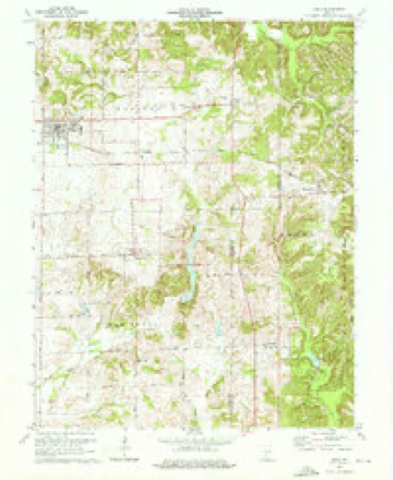
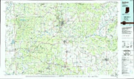
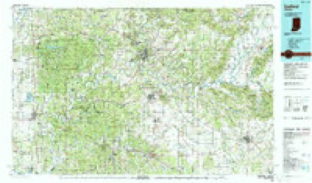
13 topographic sheets cover this place, the earliest surveyed in 1950 and the latest in 1990. It stands in Perry Township. It lies in ZIP code area 47553. The Survey maps it on the Odon quadrangle. It stands 587 feet above sea level.
Topographic sheets covering this place
7 surveys from 13 printed sheetsMatched by testing this settlement's coordinate against the published boundary of every sheet in the United States Geological Survey's historical collection. Each opens the scanned sheet at the Survey.
- 1950 USGS Odon quadrangle1:24000, 2 printings
- 1956 USGS Vincennes quadrangle1:250000, 4 printings
- 1957 USGS Vincennes quadrangle1:250000
- 1958 USGS Vincennes quadrangle1:250000, 2 printings
- 1974 USGS Odon quadrangle1:24000, 2 printings
- 1986 USGS Bedford quadrangle1:100000
- 1990 USGS Bedford quadrangle1:100000



Storms near this place
5 since 2005Regional context, not property-specific evidence. The National Weather Service names Bramble in 5 storm reports between 2005 and 2026: 2 hail, 1 tornado, 1 flash flood, 1 funnel cloud. No death or injury is recorded in these reports. Each account below is quoted exactly as the forecast office filed it, from the NOAA Storm Events Database, and each date opens the federal record of that event.
| When | Event | Place named | Harm | What the report says |
|---|---|---|---|---|
| November 2005 | Tornado (F1) | Bramble | $500,000 | An F3 tornado touched down near Washington, Indiana on the afternoon of 15 November 2005, and proceeded northeast for 12 miles, lifting at Crane Naval Base in Martin County. The tornado was up to 1/4 mile wide at times. The worst damage occurred 4 miles northeast of Montgomery. K&K Industries sits at that site. Abe Knepp, the owner, is also a chaplain for Daviess County Emergency Management, and was monitoring law enforcement radio traffic while at work. His decision to send his 120 employees home early likely saved several lives, as the plant was destroyed by the tornado. 123 homes and 20 businesses sustained damage in Daviess County. Despite the amount of damage, only one of the 31 reported injuries was considered serious.The tornado was only on the ground for 2 miles in Martin County, and was significantly weaker and smaller. |
| January 2008 | Flash Flood | Bramble | $5,000 | Multiple roads were covered with water across the county due to heavy rain. |
| March 2009 | Funnel Cloud | Bramble | - | A funnel cloud was observed to the west from this location. |
| April 2026 | Hail | Bramble | - | no account filed |
| May 2022 | Hail | Bramble | - | no account filed |
Nearest settlements
The eight closest, with where each one stands in the county. Distances are straight-line, computed from the Geographic Names Information System coordinates.
| Map | Place | Distance | Sheets |
|---|---|---|---|
| Burns City | 3.2 miles | 13 | |
| Dover Hill | 6.8 miles | 15 | |
| Scenic Hill | 7.0 miles | 13 | |
| Loogootee | 7.0 miles | 13 | |
| Crane | 7.7 miles | 14 | |
| Indian Springs | 7.8 miles | 13 | |
| Cale | 8.5 miles | 13 | |
| Mount Pleasant | 8.8 miles | 13 |
Elsewhere
Matched on this settlement's Geographic Names Information System number rather than its name, so it cannot be a different place of the same name in another state.
| Wikipedia article on Bramble | An encyclopaedic summary. Its text is share-alike, so it is linked here rather than copied. |
| Wikidata item Q4956106 | The structured record the population and elevation above come from. Public domain (CC0). |
Provenance
This settlement is recorded in the Geographic Names Information System as feature 446879. The sheet list is computed by point-in-boundary test against the United States Geological Survey's historical topographic inventory. Both are works of the United States government and carry no copyright under 17 U.S.C. 105.
Storms. NOAA National Centers for Environmental Information, Storm Events Database https://www.ncei.noaa.gov/stormevents/ A work of the United States government, no copyright under 17 U.S.C. 105. Narratives are quoted verbatim from the National Weather Service report and are not edited or summarised.