 Block
Cope, Indiana
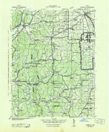
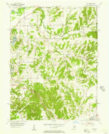
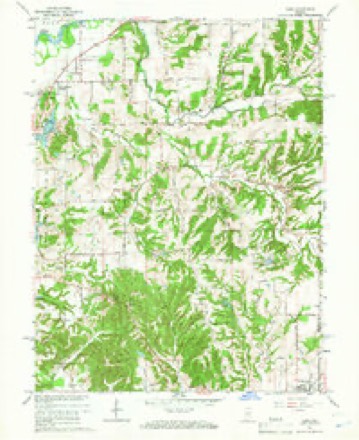
16 topographic sheets cover this place, the earliest surveyed in 1942 and the latest in 1986. It stands in Green Township. It lies in ZIP code area 46151. It stands on North Prong Stotts Creek. The Survey maps it on the Cope quadrangle. It stands 741 feet above sea level.
Topographic sheets covering this place
8 surveys from 16 printed sheetsMatched by testing this settlement's coordinate against the published boundary of every sheet in the United States Geological Survey's historical collection. Each opens the scanned sheet at the Survey.
- 1942 USGS Franklin quadrangle1:125000
- 1953 USGS Indianapolis quadrangle1:250000, 4 printings
- 1955 USGS Cope quadrangle1:24000
- 1956 USGS Indianapolis quadrangle1:250000
- 1957 USGS Indianapolis quadrangle1:250000, 2 printings
- 1962 USGS Indianapolis quadrangle1:250000
- 1965 USGS Cope quadrangle1:24000, 3 printings
- 1986 USGS Bloomington quadrangle1:100000, 3 printings





What happened here
An account from the chapter on Green township. The inset identifies its exact source book and publication year.
The Wounded Deer
Mr. Davee had his dog so trained that the dumb brute seemed almost capable of reason. One day the hunter shot and wounded a deer, which ran off through the woods at full speed. Away went the dog in pursuit, followed as fast as possible by its master. Drops of blood could be seen upon the leaves, showing that the deer had been badly hurt.
In the county-history sources
6,313 words on this townshipCounties of Morgan, Monroe, and Brown, Indiana. Historical and Biographical, published 1884 names this settlement in its chapter on Green Township. These are the passages that mention it, exactly as the scans read.
Late in the thirties, a small class of the Church of Christ was organized on Section 15, the leading members being Adam Flake, Benjamin Bryan, Peter Comper, Eli Musgrove and their families and others. Adam Flake agreed to donate one acre of ground for a church and cemetery. Whether a building was erected cannot be learned. The class lived many years, and numbered as high as forty or fifty members. In about 1840, the Methodists, near the residence of Levi Rinker, organized a class, among the members being the families of Robert C. Stotts, Levi Rinker, Simeon Ely, F. A. Harryman, William Stewart, Daniel Demott, George Rinker, John Holsapple, William Cain, James Epperson and James Laughlin. The pastor in 1844 was Daniel Demott, and in 1846 Henry S. Dane. The class belonged to the Mooresville Circuit. Several early classes were organized in schoolhouses. Now there are four churches in the township-^- Mount Olive, Methodist, in the northwestern part ; Union Chapel, Methodist, two miles east of Cope ; Bethel, Methodist, in the eastern part, and Centennial Union Church, a mile northeast of Cope. The township has excellent opportunity for Christian worship, and the citizens are sober, moral and industrious.
Passage source: Counties of Morgan, Monroe, and Brown, Indiana. Historical and Biographical, published 1884.
This was started up on Section 28 many years ago. James Crocker and Henson Martin opened the first store there in a log cabin. They were succeeded by Wesley Knight. Isaac B. Wilson was next, and Lemuel Guthridge next. A post office has been established there in later years. Few villages can cope with Cope in limitation and negation.
Passage source: Counties of Morgan, Monroe, and Brown, Indiana. Historical and Biographical, published 1884.
Machine-read from a century-old scan, so expect the errors a machine makes: misspelled names, dropped words, stray characters.
Read the whole chapter on Green Township - it names this place 1 more 1 time.
Mines and quarries near this place
1 within 5 milesRegional context, not property-specific evidence. The federal mineral resources record lists 1 working within 5 miles of Cope: 1 producer. All of them still produce. What was taken out: Clay. Distance is straight-line from the map coordinates, so a quarry counted here may appear on a neighbouring settlement's page as well.
| Where | Site | Commodity | Status | Recorded |
|---|---|---|---|---|
| Cardinal Clay Products Inc. | Clay | Producer |
Storms near this place
5 since 1999Regional context, not property-specific evidence. The National Weather Service names Cope in 5 storm reports between 1999 and 2013: 2 thunderstorm wind, 2 hail, 1 flash flood. No death or injury is recorded in these reports. Each account below is quoted exactly as the forecast office filed it, from the NOAA Storm Events Database, and each date opens the federal record of that event.
| When | Event | Place named | Harm | What the report says |
|---|---|---|---|---|
| December 2013 | Flash Flood | Cope | $1,000 | A water rescue was reported on State Road 44 due to flash flooding. |
| June 2010 | Thunderstorm Wind | Cope | $250 | A six inch tree limb was reported down, due to thunderstorm wind gusts, on State Route 44, two miles east of State Route 37. |
| May 2011 | Hail | Cope | - | no account filed |
| May 2011 | Hail | Cope | - | no account filed |
| April 1999 | Thunderstorm Wind | Cope | - | no account filed |
Nearest settlements
The eight closest, with where each one stands in the county. Distances are straight-line, computed from the Geographic Names Information System coordinates.
| Map | Place | Distance | Sheets |
|---|---|---|---|
| Chetwynd | 2.7 miles | 16 | |
| Adams | 2.9 miles | 16 | |
| Willowbrook Estates | 3.1 miles | 16 | |
| Stines Mill Corner | 3.4 miles | 16 | |
| Exchange | 3.5 miles | 14 | |
| Painted Hills | 4.0 miles | 16 | |
| Shelburne | 4.1 miles | 18 | |
| Woodcrest | 4.1 miles | 18 |
Elsewhere
Matched on this settlement's Geographic Names Information System number rather than its name, so it cannot be a different place of the same name in another state.
| Wikipedia article on Cope | An encyclopaedic summary. Its text is share-alike, so it is linked here rather than copied. |
| Wikidata item Q5168326 | The structured record the population and elevation above come from. Public domain (CC0). |
Provenance
This settlement is recorded in the Geographic Names Information System as feature 432951. The sheet list is computed by point-in-boundary test against the United States Geological Survey's historical topographic inventory. Both are works of the United States government and carry no copyright under 17 U.S.C. 105.
Mines and quarries. USGS Mineral Resources Data System (MRDS) https://mrdata.usgs.gov/mrds/ A work of the United States government, no copyright under 17 U.S.C. 105.
Storms. NOAA National Centers for Environmental Information, Storm Events Database https://www.ncei.noaa.gov/stormevents/ A work of the United States government, no copyright under 17 U.S.C. 105. Narratives are quoted verbatim from the National Weather Service report and are not edited or summarised.