 Block
Flackville, Indiana
19 topographic sheets cover this place, the earliest surveyed in 1948 and the latest in 1998. It stands in Wayne Township. It lies in ZIP code area 46222. It stands on Falcon Creek. The Survey maps it on the Indianapolis West quadrangle.
On record in Flackville
Buildings and businesses the archive holds for this place. Each opens its own page, with the source record it came from.
On the National Register within a mile 2 records
The National Register names another town for these. They stand within one mile of this settlement's coordinate.
 Henry F. Campbell Mansionlisted 1997 · 1.0 miles away
 Wheeler-Stokely Mansionlisted 2004 · 1.0 miles away
Topographic sheets covering this place
9 surveys from 19 printed sheetsMatched by testing this settlement's coordinate against the published boundary of every sheet in the United States Geological Survey's historical collection. Each opens the scanned sheet at the Survey.
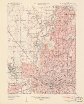
- 1948 USGS Indianapolis West quadrangle1:24000, 2 printings
- 1953 USGS Indianapolis quadrangle1:250000, 4 printings
- 1956 USGS Indianapolis quadrangle1:250000
- 1957 USGS Indianapolis quadrangle1:250000, 2 printings
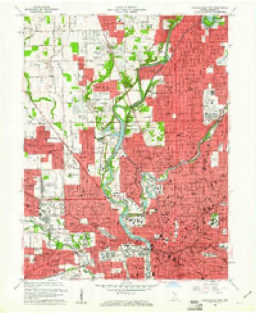
- 1959 USGS Indianapolis West quadrangle1:24000
- 1962 USGS Indianapolis quadrangle1:250000
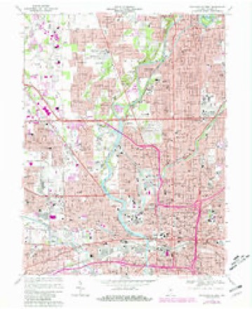
- 1967 USGS Indianapolis West quadrangle1:24000, 5 printings
- 1986 USGS Indianapolis quadrangle1:100000, 2 printings
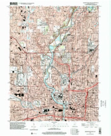
- 1998 USGS Indianapolis West quadrangle1:24000





In the county-history sources
12,230 words on this townshipHistory of Indianapolis and Marion County, Indiana, published 1884 has no passage naming this settlement, which was common for smaller places. Its township is covered in full.
The chapter on Wayne Township covers the township.
Read the chapter on Wayne Township - 12,230 words.
Mines and quarries near this place
6 within 5 milesRegional context, not property-specific evidence. The federal mineral resources record lists 6 workings within 5 miles of Flackville: 3 past producers, 2 producers, 1 unknown. 2 still produce. What was taken out: Sand and Gravel, Construction, Tungsten, Stone, Crushed/Broken. Distance is straight-line from the map coordinates, so a quarry counted here may appear on a neighbouring settlement's page as well.
| Where | Site | Commodity | Status | Recorded |
|---|---|---|---|---|
| Kentucky Ave Mine & Mill | Stone, Crushed/Broken | Producer | ||
| Mallory Metallurgical/ Indianapolis | Tungsten | Past Producer | ||
| Ace Lake Pit | Sand and Gravel, Construction | Past Producer | ||
| Eagle Gravel Pit | Sand and Gravel, Construction | Unknown | ||
| Ok Sand & Gravel Co., Inc. | Sand and Gravel, Construction | Producer | ||
| Shannon Sand & Gravel Pit | Sand and Gravel, Construction | Past Producer |
Storms near this place
8 since 2009Regional context, not property-specific evidence. The National Weather Service names Flackville in 8 storm reports between 2009 and 2016: 2 thunderstorm wind, 2 hail, 2 flash flood, 1 tornado. The reports record 1 injury. Each account below is quoted exactly as the forecast office filed it, from the NOAA Storm Events Database, and each date opens the federal record of that event.
| When | Event | Place named | Harm | What the report says |
|---|---|---|---|---|
| June 2013 | Lightning | Flackville | 1 hurt | WISH-TV reported that an Indianapolis Zoo guard was indirectly hit by lightning Sunday afternoon when a line of storms moved through the area. Around 3:35 p.m., a security guard standing near the administration building was hit by an indirect lightning strike, meaning the charge of the lightning strike made contact, not the bolt. Authorities say the guard was alert and all vital signs were good when he was transported. His injuries are not serious. |
| August 2016 | Flash Flood | Flackville | $20,000 | Cars were trapped in flood water on Martin Luther King Jr. Street due to damaging thunderstorm wind gusts. |
| August 2016 | Flash Flood | Flackville | $20,000 | The dugout at Victory Field Baseball Stadium was flooded with over a foot of water due to heavy thunderstorm rainfall. |
| August 2009 | Thunderstorm Wind | Flackville | $1,000 | An 8 to 9 inch diameter tree was blown down due to thunderstorm wind gusts near the intersection of 10th and Wilson Street. The time this event occurred is estimated. |
| May 2014 | Hail | Flackville | - | This report came in from the IUPUI area. |
| September 2012 | Tornado (EF0) | Flackville | - | A downtown tower media cam caught footage of a brief 38 second tornado near 16th Street and White River. No damage was reported or observed. |
| October 2010 | Thunderstorm Wind | Flackville | - | A 60 mph thunderstorm wind gust was estimated on the IUPUI campus. |
| May 2011 | Hail | Flackville | - | no account filed |
Nearest settlements
The eight closest, with where each one stands in the county. Distances are straight-line, computed from the Geographic Names Information System coordinates.
| Map | Place | Distance | Sheets |
|---|---|---|---|
| Brooklyn Heights | 1.0 miles | 19 | |
| Wolfington | 1.5 miles | 19 | |
| Glendale | 1.8 miles | 19 | |
| Wynnedale | 1.9 miles | 19 | |
| Clifton | 2.1 miles | 19 | |
| North Indianapolis | 2.3 miles | 19 | |
| Woodstock | 2.3 miles | 19 | |
| Spring Hills | 2.3 miles | 19 |
Provenance
This settlement is recorded in the Geographic Names Information System as feature 449491. The sheet list is computed by point-in-boundary test against the United States Geological Survey's historical topographic inventory. Both are works of the United States government and carry no copyright under 17 U.S.C. 105.
Mines and quarries. USGS Mineral Resources Data System (MRDS) https://mrdata.usgs.gov/mrds/ A work of the United States government, no copyright under 17 U.S.C. 105.
Storms. NOAA National Centers for Environmental Information, Storm Events Database https://www.ncei.noaa.gov/stormevents/ A work of the United States government, no copyright under 17 U.S.C. 105. Narratives are quoted verbatim from the National Weather Service report and are not edited or summarised.