 Block
Frances, Indiana
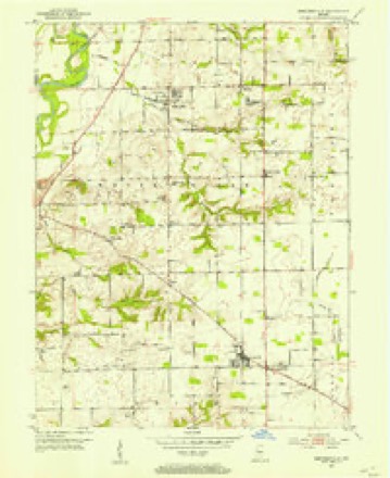
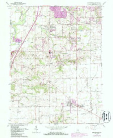
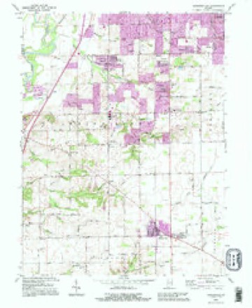
16 topographic sheets cover this place, the earliest surveyed in 1952 and the latest in 1992. It stands in White River Township. It lies in ZIP code area 46142. It stands on Fair Brook. The Survey maps it on the Bargersville quadrangle.
Topographic sheets covering this place
8 surveys from 16 printed sheetsMatched by testing this settlement's coordinate against the published boundary of every sheet in the United States Geological Survey's historical collection. Each opens the scanned sheet at the Survey.
- 1952 USGS Bargersville quadrangle1:24000
- 1953 USGS Indianapolis quadrangle1:250000, 4 printings
- 1956 USGS Indianapolis quadrangle1:250000
- 1957 USGS Indianapolis quadrangle1:250000, 2 printings
- 1962 USGS Bargersville quadrangle1:24000, 4 printings
- 1962 USGS Indianapolis quadrangle1:250000
- 1986 USGS Indianapolis quadrangle1:100000, 2 printings
- 1992 USGS Bargersville quadrangle1:24000





In the county-history sources
25,754 words on this townshipA Historical Sketch of Johnson County, Indiana, published 1881 names this settlement in its chapter on White River Township. These are the passages that mention it, exactly as the scans read.
The Culvers were from East Tennessee, and came to this township in October, 1822. They located their homes on the beautiful, rolling, sandy lands in the northern part of the township, on the northwest quarter of Section 34. They were industrious and economical, and soon added greatly to their limited goods, by their fine crops of corn and wheat. The family of Benjamin was small, and, after ten or fifteen years, he left the county. Nathan remained on his location, and, at the death of his wife, was rich in lands, but her death and the marriage of his daughters broke up his family. They were scattered in all directions. He followed several sons and a daughter to Iowa, and there died many years since. They were a short-lived people, and the name is now only borne in the State by a single son, Mr. Elihu Culver, of Spencer, a gentleman of wealth and distinction ; however, two grandchildren of the old gentleman still live in the township.
Passage source: A Historical Sketch of Johnson County, Indiana, published 1881.
Mrs. Parks was a fine specimen of the pioneer mother. After her husband's death, she taught school in her own house. She was a noble woman, highly esteemed and useful as a female physician. She lived to an old age, and died of consumption on the 22d day of August, 1851, aged seventy-three years and nine months.
Passage source: A Historical Sketch of Johnson County, Indiana, published 1881.
Machine-read from a century-old scan, so expect the errors a machine makes: misspelled names, dropped words, stray characters.
Mines and quarries near this place
3 within 5 milesRegional context, not property-specific evidence. The federal mineral resources record lists 3 workings within 5 miles of Frances: 1 producer, 1 past producer, 1 unknown. 1 still produces. What was taken out: Sand and Gravel, Construction. Distance is straight-line from the map coordinates, so a quarry counted here may appear on a neighbouring settlement's page as well.
| Where | Site | Commodity | Status | Recorded |
|---|---|---|---|---|
| Central Aggregates Pit | Sand and Gravel, Construction | Producer | ||
| Kelsay & York Gravel Pit | Sand and Gravel, Construction | Unknown | ||
| Port Royal Pit | Sand and Gravel, Construction | Past Producer |
Storms near this place
7 since 2008Regional context, not property-specific evidence. The National Weather Service names Frances in 7 storm reports between 2008 and 2025: 3 thunderstorm wind, 3 hail, 1 flash flood. No death or injury is recorded in these reports. Each account below is quoted exactly as the forecast office filed it, from the NOAA Storm Events Database, and each date opens the federal record of that event.
| When | Event | Place named | Harm | What the report says |
|---|---|---|---|---|
| May 2024 | Thunderstorm Wind | Frances | $50,000 | Thunderstorm winds downed a few 12-inch diameter trees along Fairview Road at Leaning Tree Road and Peterman Road. Some fences and roofs were also damaged. |
| April 2025 | Flash Flood | Frances | $25,000 | Flooding temporarily closed sections of US 31 with several water rescues across the county. Total rainfall ranged from 2.6 to 4.0 inches. |
| May 2011 | Thunderstorm Wind | Frances | $5,000 | A tree was blown down on a house, 1 block south of the Johnson/Marion County line on State Route 135, due to damaging thunderstorm wind gusts. |
| May 2008 | Thunderstorm Wind | Frances | $2,000 | Large tree limbs were down and a fence was blown over due to damaging thunderstorm winds. |
| April 2016 | Hail | Frances | - | no account filed |
| April 2016 | Hail | Frances | - | no account filed |
| April 2015 | Hail | Frances | - | no account filed |
Nearest settlements
The eight closest, with where each one stands in the county. Distances are straight-line, computed from the Geographic Names Information System coordinates.
| Map | Place | Distance | Sheets |
|---|---|---|---|
| Foxberry Trace | 0.4 miles | 16 | |
| Critchfield | 0.5 miles | 16 | |
| Brentwood | 0.8 miles | 16 | |
| Eagle Trace | 0.9 miles | 16 | |
| Auburn Trace | 1.0 miles | 16 | |
| El Dorado | 1.1 miles | 16 | |
| Hendricks | 1.1 miles | 16 | |
| Brockton Manor | 1.4 miles | 16 |
Provenance
This settlement is recorded in the Geographic Names Information System as feature 434748. The sheet list is computed by point-in-boundary test against the United States Geological Survey's historical topographic inventory. Both are works of the United States government and carry no copyright under 17 U.S.C. 105.
Mines and quarries. USGS Mineral Resources Data System (MRDS) https://mrdata.usgs.gov/mrds/ A work of the United States government, no copyright under 17 U.S.C. 105.
Storms. NOAA National Centers for Environmental Information, Storm Events Database https://www.ncei.noaa.gov/stormevents/ A work of the United States government, no copyright under 17 U.S.C. 105. Narratives are quoted verbatim from the National Weather Service report and are not edited or summarised.