 Block
Johnsburg, Indiana
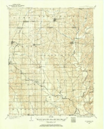
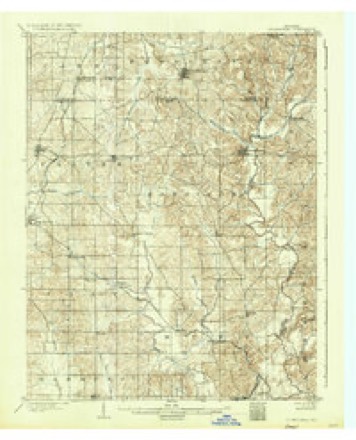
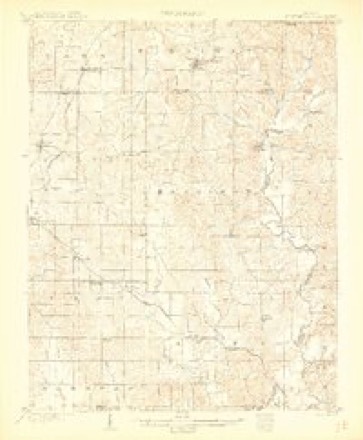
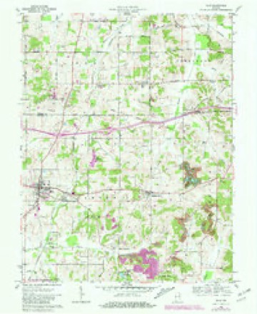
14 topographic sheets cover this place, the earliest surveyed in 1900 and the latest in 1994. It stands in Cass Township. It lies in ZIP code area 47542. The Survey maps it on the Dale quadrangle. It stands 486 feet above sea level.
Topographic sheets covering this place
9 surveys from 14 printed sheetsMatched by testing this settlement's coordinate against the published boundary of every sheet in the United States Geological Survey's historical collection. Each opens the scanned sheet at the Survey.
- 1900 USGS St Meinrad quadrangle1:62500
- 1903 USGS St Meinrad quadrangle1:62500
- 1903 USGS St. Meinrad quadrangle1:62500
- 1956 USGS Vincennes quadrangle1:250000, 4 printings
- 1957 USGS Vincennes quadrangle1:250000
- 1958 USGS Vincennes quadrangle1:250000, 2 printings
- 1961 USGS Dale quadrangle1:24000, 2 printings
- 1986 USGS Jasper quadrangle1:100000
- 1994 USGS Jasper quadrangle1:100000



In the county-history sources
2,531 words on this townshipHistory and Art Souvenir of Dubois County, published 1896 names this settlement in its chapter on Cass Township. These are the passages that mention it, exactly as the scans read.
St. Heory. The plat of this town reads, "The Town of St. Henry or Henryville." The post office is St. Henry, and it is better to so call the town to distinguish it from Henryville, Clark County, Indiana. Mr. Fisher is its founder, though the main business part of the town is not on the plat of the town, which is dated September 22, 1874. A Catholic church was established at St. Henry in 1862. A stone church was built that year. The Evansville and Jasper branch of the Louisville, Evansville & St. Louis Railroad passes one mile and a quarter west of the town. Its station is called Ferdinand, and Ferdinand station is Johnsburg post office. Henry Bruner lived near here. He was one of the first settlers in Cass township. He was an expert with his long rifle and hundreds of deer, bears, and other wild game fell at his shot. Mr. Bruner was one of the best known hunters that ever "drew a bead" in the early days in Dubois County.
Passage source: History and Art Souvenir of Dubois County, published 1896.
Machine-read from a century-old scan, so expect the errors a machine makes: misspelled names, dropped words, stray characters.
Read the whole chapter on Cass Township - it names this place 2 more 2 times.
Mines and quarries near this place
1 within 5 milesRegional context, not property-specific evidence. The federal mineral resources record lists 1 working within 5 miles of Johnsburg: 1 producer. All of them still produce. What was taken out: Clay. Distance is straight-line from the map coordinates, so a quarry counted here may appear on a neighbouring settlement's page as well.
| Where | Site | Commodity | Status | Recorded |
|---|---|---|---|---|
| Bartelt Mine | Clay | Producer |
Storms near this place
3 since 2022Regional context, not property-specific evidence. The National Weather Service names Johnsburg in 3 storm reports between 2022 and 2025: 2 thunderstorm wind, 1 tornado. No death or injury is recorded in these reports. Each account below is quoted exactly as the forecast office filed it, from the NOAA Storm Events Database, and each date opens the federal record of that event.
| When | Event | Place named | Harm | What the report says |
|---|---|---|---|---|
| May 2025 | Thunderstorm Wind | Johnsburg | - | There was minor roofing damage to a house and multiple tree limbs were downed by strong winds. |
| March 2023 | Tornado (EF1) | Johnsburg | - | An EF-1 tornado began just east of Dale, IN in northern Spencer County, near the intersection of Spencer County Roads 2100 North and 500 East. It continued to the north-northeast damaging property before crossing into Dubois County, where it snapped or uprooted several large trees along the county line. A couple of homes received minor roof and fascia damage. The tornado passed just northeast of Johnsburg, downing several large tree limbs and damaging a metal farm building before dissipating. |
| June 2022 | Thunderstorm Wind | Johnsburg | - | There was a tree down. |
Nearest settlements
The eight closest, with where each one stands in the county. Distances are straight-line, computed from the Geographic Names Information System coordinates.
| Map | Place | Distance | Sheets |
|---|---|---|---|
| Saint Henry | 1.4 miles | 14 | |
| Holland | 4.7 miles | 18 | |
| Ferdinand | 5.0 miles | 16 | |
| Huntingburg | 5.6 miles | 14 | |
| Bretzville | 7.1 miles | 13 | |
| Duff | 8.4 miles | 16 | |
| Saint Marks | 9.5 miles | 13 | |
| Maltersville | 9.5 miles | 14 |
Elsewhere
Matched on this settlement's Geographic Names Information System number rather than its name, so it cannot be a different place of the same name in another state.
| Wikipedia article on Johnsburg | An encyclopaedic summary. Its text is share-alike, so it is linked here rather than copied. |
| Wikidata item Q6268084 | The structured record the population and elevation above come from. Public domain (CC0). |
Provenance
This settlement is recorded in the Geographic Names Information System as feature 449677. The sheet list is computed by point-in-boundary test against the United States Geological Survey's historical topographic inventory. Both are works of the United States government and carry no copyright under 17 U.S.C. 105.
Mines and quarries. USGS Mineral Resources Data System (MRDS) https://mrdata.usgs.gov/mrds/ A work of the United States government, no copyright under 17 U.S.C. 105.
Storms. NOAA National Centers for Environmental Information, Storm Events Database https://www.ncei.noaa.gov/stormevents/ A work of the United States government, no copyright under 17 U.S.C. 105. Narratives are quoted verbatim from the National Weather Service report and are not edited or summarised.