 Block
Lomax, Indiana
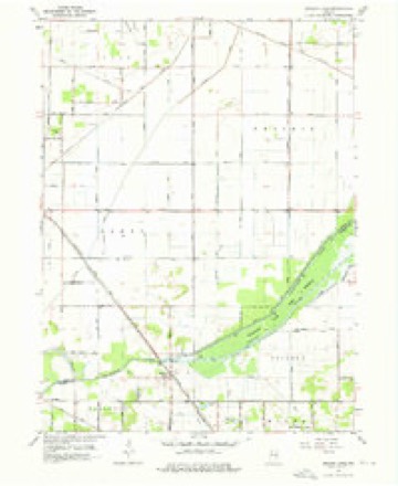
10 topographic sheets cover this place, the earliest surveyed in 1953 and the latest in 1984. It stands in Railroad Township. It lies in ZIP code area 46374. The Survey maps it on the English Lake quadrangle.
Topographic sheets covering this place
4 surveys from 10 printed sheetsMatched by testing this settlement's coordinate against the published boundary of every sheet in the United States Geological Survey's historical collection. Each opens the scanned sheet at the Survey.
- 1953 USGS Chicago quadrangle1:250000, 5 printings
- 1957 USGS Chicago quadrangle1:250000
- 1959 USGS English Lake quadrangle1:24000, 2 printings
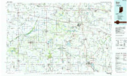
- 1984 USGS Knox quadrangle1:100000, 2 printings


Storms near this place
2 since 2018Regional context, not property-specific evidence. The National Weather Service names Lomax in 2 storm reports between 2018 and 2026: 1 thunderstorm wind, 1 tornado. No death or injury is recorded in these reports. Each account below is quoted exactly as the forecast office filed it, from the NOAA Storm Events Database, and each date opens the federal record of that event.
| When | Event | Place named | Harm | What the report says |
|---|---|---|---|---|
| March 2026 | Tornado (EF2) | Lomax | - | Based on radar, an NWS Survey and reports from numerous spotter|and emergency management officials, one final tornado has been|confirmed with a cyclic supercell that originated in eastern|Illinois. The tornado quickly developed about 3 miles northeast|of the end of the Wheatfield, IN tornado, starting southwest of|the intersection of US 421 and CR W 400 S where 2 large pole|barns suffered extensive damage, as well as 3 empty grain bins.|The debris was carried up to a half mile downstream. Videos and|eyewitness reports indicate a large cone shaped funnel continued|northeast causing damage to trees, some center pivot irrigation|systems and a few other barns and homes, eventually crossing|State Road 39 near CR W 150 S. It then continued over mainly over|unplanted fields before causing some additional damage at SR|8 and CR N 250 E. It lifted just southeast of the Starke county|airport. The tornado has a few areas which suggested some multi|vortex funnels caused damage in the larger swath. After careful|analysis, along with storm chaser video footage and high|resolution satellite data, it was determined that a second weaker|tornado touched down south of Jackson for a brief period of time. |
| May 2018 | Thunderstorm Wind | Lomax | - | The public reported 10 to 15 inch diameter trees were blown down. |
Nearest settlements
The eight closest, with where each one stands in the county. Distances are straight-line, computed from the Geographic Names Information System coordinates.
| Map | Place | Distance | Sheets |
|---|---|---|---|
| English Lake | 2.6 miles | 10 | |
| San Pierre | 4.0 miles | 10 | |
| North Judson | 5.9 miles | 10 | |
| Toto | 9.2 miles | 11 | |
| Lena Park | 9.3 miles | 9 | |
| Brems | 10.8 miles | 11 | |
| Indian Hill | 11.0 miles | 11 | |
| Aldine | 11.2 miles | 9 |
Provenance
This settlement is recorded in the Geographic Names Information System as feature 438234. The sheet list is computed by point-in-boundary test against the United States Geological Survey's historical topographic inventory. Both are works of the United States government and carry no copyright under 17 U.S.C. 105.
Storms. NOAA National Centers for Environmental Information, Storm Events Database https://www.ncei.noaa.gov/stormevents/ A work of the United States government, no copyright under 17 U.S.C. 105. Narratives are quoted verbatim from the National Weather Service report and are not edited or summarised.