 Block
Majenica, Indiana
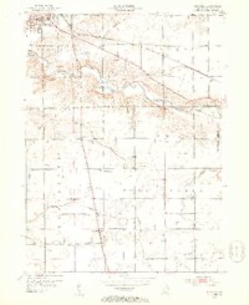
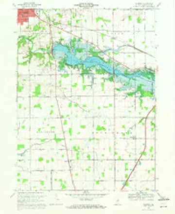
13 topographic sheets cover this place, the earliest surveyed in 1952 and the latest in 1986. It stands in Lancaster Township. It lies in ZIP code area 46750. The Survey maps it on the Majenica quadrangle. It stands 830 feet above sea level.
Topographic sheets covering this place
5 surveys from 13 printed sheetsMatched by testing this settlement's coordinate against the published boundary of every sheet in the United States Geological Survey's historical collection. Each opens the scanned sheet at the Survey.
- 1952 USGS Majenica quadrangle1:24000, 2 printings
- 1953 USGS Muncie quadrangle1:250000, 5 printings
- 1956 USGS Muncie quadrangle1:250000
- 1969 USGS Majenica quadrangle1:24000, 3 printings
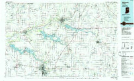
- 1986 USGS Wabash quadrangle1:100000, 2 printings


In the county-history sources
5,585 words on this townshipHuntington County in the World War. Volume 1, published 1919 has no passage naming this settlement, which was common for smaller places. Its township is covered in full.
The chapter on Lancaster Township covers the township.
Read the chapter on Lancaster Township - 5,585 words.
Mines and quarries near this place
2 within 5 milesRegional context, not property-specific evidence. The federal mineral resources record lists 2 workings within 5 miles of Majenica: 1 past producer, 1 producer. 1 still produces. What was taken out: Clay. Distance is straight-line from the map coordinates, so a quarry counted here may appear on a neighbouring settlement's page as well.
| Where | Site | Commodity | Status | Recorded |
|---|---|---|---|---|
| Majenica Clay Pit | Clay | Past Producer | ||
| Majenica Clay Pit | Clay | Producer |
Storms near this place
6 since 2013Regional context, not property-specific evidence. The National Weather Service names Majenica in 6 storm reports between 2013 and 2023: 3 hail, 2 thunderstorm wind, 1 tornado. No death or injury is recorded in these reports. Each account below is quoted exactly as the forecast office filed it, from the NOAA Storm Events Database, and each date opens the federal record of that event.
| When | Event | Place named | Harm | What the report says |
|---|---|---|---|---|
| June 2023 | Thunderstorm Wind | Majenica | $10,000 | A tree was downed and a roof was damaged from thunderstorm wind. |
| March 2016 | Hail | Majenica | - | A trained spotter reported damage to siding, screens and a window due to wind driven large hail. |
| June 2016 | Tornado (EF1) | Majenica | - | A NWS Storm survey of damage determined that the first of two tornadoes touched down just west of SR 5 and caused extensive damage tree damage and some structural damage to a home with multiple large limbs down on the home and multiple vehicles. Additional extensive damage to trees, power poles and numerous structures then extended eastward along CR 200 S to east of CR 100 E. Maximum wind speeds were estimated at 105 mph. |
| July 2014 | Thunderstorm Wind | Majenica | - | Emergency management officials reported minor damage near the intersection of State Route 5 and East County Road 500 South. Minor tree damage occurred at a residence on the southeast corner of the intersection, with a small area of corn in an adjacent field being partially blown over. The back window of a vehicle was shattered, likely from flying rocks or debris with a resident suffering minor injuries as a glass table broke with pieces of the table causing some small cuts. There were numerous eyewitness reports (and photographs) of funnel clouds in the area as a result of conditions favorable for the development of landspouts. However, all damage was thrown in a northeast or east direction, consistent with a lack of a circulation on the ground. |
| May 2019 | Hail | Majenica | - | no account filed |
| April 2013 | Hail | Majenica | - | no account filed |
Nearest settlements
The eight closest, with where each one stands in the county. Distances are straight-line, computed from the Geographic Names Information System coordinates.
| Map | Place | Distance | Sheets |
|---|---|---|---|
| River | 3.0 miles | 13 | |
| Lancaster | 3.2 miles | 13 | |
| Rock Creek Center | 3.4 miles | 13 | |
| Plum Tree | 3.8 miles | 13 | |
| Browns Corner | 3.8 miles | 13 | |
| Mount Etna | 6.1 miles | 13 | |
| Warren | 6.2 miles | 13 | |
| Simpson | 6.2 miles | 13 |
Elsewhere
Matched on this settlement's Geographic Names Information System number rather than its name, so it cannot be a different place of the same name in another state.
| Wikipedia article on Majenica | An encyclopaedic summary. Its text is share-alike, so it is linked here rather than copied. |
| Wikidata item Q14688589 | The structured record the population and elevation above come from. Public domain (CC0). |
Provenance
This settlement is recorded in the Geographic Names Information System as feature 438489. The sheet list is computed by point-in-boundary test against the United States Geological Survey's historical topographic inventory. Both are works of the United States government and carry no copyright under 17 U.S.C. 105.
Mines and quarries. USGS Mineral Resources Data System (MRDS) https://mrdata.usgs.gov/mrds/ A work of the United States government, no copyright under 17 U.S.C. 105.
Storms. NOAA National Centers for Environmental Information, Storm Events Database https://www.ncei.noaa.gov/stormevents/ A work of the United States government, no copyright under 17 U.S.C. 105. Narratives are quoted verbatim from the National Weather Service report and are not edited or summarised.