 Block
Mapleton, Indiana
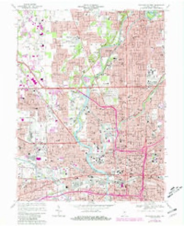
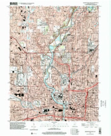
19 topographic sheets cover this place, the earliest surveyed in 1948 and the latest in 1998. It stands in Washington Township. It lies in ZIP code area 46208. It stands on Highwood Branch. The Survey maps it on the Indianapolis West quadrangle.
On record in Mapleton
Buildings and businesses the archive holds for this place. Each opens its own page, with the source record it came from.
On the National Register within a mile 10 records
The National Register names another town for these. They stand within one mile of this settlement's coordinate.
- OldfieldsNational Historic Landmark · listed 2000 · 0.8 miles away
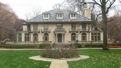 William N. Thompson Houselisted 1982 · 0.7 miles away
 Arthur Jordan Memorial Halllisted 1983 · 0.7 miles away
 Crown Hill Cemeterylisted 1973 · 0.7 miles away
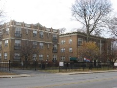 Shortridge-Meridian Street Apartments Historic Districtlisted 2000 · 0.8 miles away
 Crown Hill National Cemeterylisted 1999 · 0.9 miles away
 Shortridge High Schoollisted 1983 · 0.9 miles away
- Washington Park Historic Districtlisted 2008 · 0.8 miles away
- Oldfieldslisted 2003 · 0.9 miles away
- Woodstock Country Clublisted 2007 · 0.9 miles away
Topographic sheets covering this place
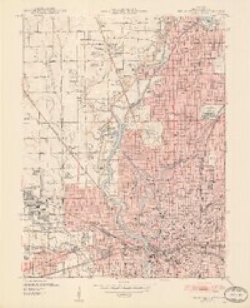
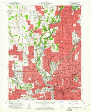
9 surveys from 19 printed sheetsMatched by testing this settlement's coordinate against the published boundary of every sheet in the United States Geological Survey's historical collection. Each opens the scanned sheet at the Survey.
- 1948 USGS Indianapolis West quadrangle1:24000, 2 printings
- 1953 USGS Indianapolis quadrangle1:250000, 4 printings
- 1956 USGS Indianapolis quadrangle1:250000
- 1957 USGS Indianapolis quadrangle1:250000, 2 printings
- 1959 USGS Indianapolis West quadrangle1:24000
- 1962 USGS Indianapolis quadrangle1:250000
- 1967 USGS Indianapolis West quadrangle1:24000, 5 printings
- 1986 USGS Indianapolis quadrangle1:100000, 2 printings
- 1998 USGS Indianapolis West quadrangle1:24000





In the county-history sources
15,135 words on this townshipHistory of Indianapolis and Marion County, Indiana, published 1884 names this settlement in its chapter on Washington Township. These are the passages that mention it, exactly as the scans read.
Thomas McClintock was a life-long member of the Presbyterian Church. He had three sons and two daughters. Of the latter, Rebecca died about 1853, and Martha is now living in Green.sburg, Decatur Co., Ind. The mother died at her daughter Martha's house about 1873. Of the sons, Joseph is living in California, Thomas J. died about 1853, in Marion County. The other son, William H. McClintock, was born in the old block-house at Hiukston Station, Ky., March 13, 1813, and moved with his father's family to Harrison County, Ky., and thence to Indianapolis. He lived with the family till his father's death, and after that event owned eighty of the one hundred and sixty acres of his father's farm at Sugar Flat. In 1873 he sold out and moved to Indianapolis, where he remained eight years. . In 1881 he bought a house and land at Mapleton (about a halfmile from his father's homestead), and is now living there. At the age of fourteen years he joined the Presbyterian Church at Stonermouth meeting-house Bourbon County, Ky. In January, 1843, he married Sarah Ann Mattox, near Booneville, Union Co., Ind. His wife being a member of the Methodist Episcopal Church, induced him to leave the Presbyterians and join the Methodists, and he is now one of the most prominent members of the church of that denomination at Mapleton. He reared three sons, viz. : Thomas A. (now a class-leader in the Mapleton Church), Edmund A., also a member of the same church, and living at San Jos6, Cal., and William D., who joined his mother's church at the age of nine years, afterwards studied medicine with Dr. Harvey, of Indianapolis, and located in practice in Kansas, where he died in December, 1880.
Passage source: History of Indianapolis and Marion County, Indiana, published 1884.
There are no manufactories in Washington township, nor any very important towns or villages. Broad Ripple and Wellington villages, on White River, in the central part of the township, are the most important. Malott Park, Millersville, and Allisonville are villages in the eastern and southeastern part of the township. Mapleton is on the south line, adjoining Centre township, part of the village being in Centre.
Passage source: History of Indianapolis and Marion County, Indiana, published 1884.
The village of Mapleton is on the line of Washington and Centre townships, the main street being on the township line, and the village being on both sides of it. It was laid out in 1871 (town plat recorded September 18th in that year). That part of the site which is on the Washington township side was owned by John Messersmith, who purchased from Thomas Ruark.
Passage source: History of Indianapolis and Marion County, Indiana, published 1884.
Machine-read from a century-old scan, so expect the errors a machine makes: misspelled names, dropped words, stray characters.
Read the whole chapter on Washington Township - it names this place 1 more 1 time.
Mines and quarries near this place
7 within 5 milesRegional context, not property-specific evidence. The federal mineral resources record lists 7 workings within 5 miles of Mapleton: 4 past producers, 2 producers, 1 unknown. 2 still produce. What was taken out: Sand and Gravel, Construction, Tungsten, Stone, Crushed/Broken. Distance is straight-line from the map coordinates, so a quarry counted here may appear on a neighbouring settlement's page as well.
| Where | Site | Commodity | Status | Recorded |
|---|---|---|---|---|
| Kentucky Ave Mine & Mill | Stone, Crushed/Broken | Producer | ||
| Mallory Metallurgical/ Indianapolis | Tungsten | Past Producer | ||
| Ace Lake Pit | Sand and Gravel, Construction | Past Producer | ||
| Eagle Gravel Pit | Sand and Gravel, Construction | Unknown | ||
| Ok Sand & Gravel Co., Inc. | Sand and Gravel, Construction | Producer | ||
| Shannon Sand & Gravel Pit | Sand and Gravel, Construction | Past Producer | ||
| Standard Materials Corp S&G Pit | Sand and Gravel, Construction | Past Producer |
Nearest settlements
The eight closest, with where each one stands in the county. Distances are straight-line, computed from the Geographic Names Information System coordinates.
| Map | Place | Distance | Sheets |
|---|---|---|---|
| Shooters Hill | 0.8 miles | 19 | |
| Woodstock | 0.9 miles | 19 | |
| Clifton | 1.2 miles | 19 | |
| Rocky Ripple | 1.4 miles | 19 | |
| Highwoods | 1.4 miles | 19 | |
| Spring Hills | 1.5 miles | 19 | |
| North Indianapolis | 1.6 miles | 19 | |
| Wynnedale | 1.6 miles | 19 |
Provenance
This settlement is recorded in the Geographic Names Information System as feature 448349. The sheet list is computed by point-in-boundary test against the United States Geological Survey's historical topographic inventory. Both are works of the United States government and carry no copyright under 17 U.S.C. 105.
Mines and quarries. USGS Mineral Resources Data System (MRDS) https://mrdata.usgs.gov/mrds/ A work of the United States government, no copyright under 17 U.S.C. 105.