 Block
New Pennington, Indiana
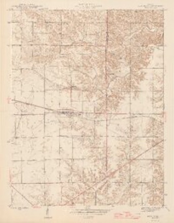
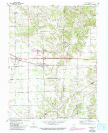
12 topographic sheets cover this place, the earliest surveyed in 1946 and the latest in 1986. It stands in Saltcreek Township. It lies in ZIP code area 47240. The Survey maps it on the New Point quadrangle. It stands 974 feet above sea level.
Topographic sheets covering this place
5 surveys from 12 printed sheetsMatched by testing this settlement's coordinate against the published boundary of every sheet in the United States Geological Survey's historical collection. Each opens the scanned sheet at the Survey.
- 1946 USGS New Point quadrangle1:24000, 2 printings
- 1953 USGS Cincinnati quadrangle1:250000, 3 printings
- 1957 USGS Cincinnati quadrangle1:250000
- 1961 USGS New Point quadrangle1:24000, 4 printings
- 1986 USGS Greensburg quadrangle1:100000, 2 printings



In the county-history sources
1,490 words on this townshipHistory of Decatur County, Indiana : Its People, Industries and Institutions, published 1915 names this settlement in its chapter on Saltcreek Township. These are the passages that mention it, exactly as the scans read.
Robert Ross and John Harding were two of the first six men to settle in Salt Creek township. Others who made homes in this township at an early date were : James Cook, William Barclay, Parkinson Barclay, Eli Pennington (who later laid out New Pennington), Lewis Castor, Wilson Ross, William Hart, Charles McHugh, John Calicott, Robert Atte, William Walker, Milton Walker, George Osborn and John Snediker.
Passage source: History of Decatur County, Indiana : Its People, Industries and Institutions, published 1915.
There are three small places in Salt Creek township which appear on the maps of Decatur as towns, but none of them can hardly be said to deserve the title now. The first of these is Mechanicsburg, which was laid out by Robert Garrison and others, October 10, 1846. The next is New Pennington, which was laid out by Eli Pennington in 1851 and bears the founder's name. Last, but not necessarily least, comes Rossburg. which was laid out by D. Montague, founder of the town of St. IMaurice, March 16, 1836.
Passage source: History of Decatur County, Indiana : Its People, Industries and Institutions, published 1915.
Machine-read from a century-old scan, so expect the errors a machine makes: misspelled names, dropped words, stray characters.
Mines and quarries near this place
1 within 5 milesRegional context, not property-specific evidence. The federal mineral resources record lists 1 working within 5 miles of New Pennington: 1 producer. All of them still produce. What was taken out: Stone, Crushed/Broken. Distance is straight-line from the map coordinates, so a quarry counted here may appear on a neighbouring settlement's page as well.
| Where | Site | Commodity | Status | Recorded |
|---|---|---|---|---|
| New Point Quarry | Stone, Crushed/Broken | Producer |
Nearest settlements
The eight closest, with where each one stands in the county. Distances are straight-line, computed from the Geographic Names Information System coordinates.
| Map | Place | Distance | Sheets |
|---|---|---|---|
| New Point | 2.1 miles | 12 | |
| Smyrna | 3.0 miles | 10 | |
| Rossburg | 3.2 miles | 12 | |
| Smiths Crossing | 3.3 miles | 12 | |
| Middle Branch | 3.8 miles | 10 | |
| Slabtown | 4.1 miles | 10 | |
| Mechanicsburg | 4.6 miles | 12 | |
| McCoy | 5.6 miles | 10 |
Elsewhere
Matched on this settlement's Geographic Names Information System number rather than its name, so it cannot be a different place of the same name in another state.
| Wikipedia article on New Pennington | An encyclopaedic summary. Its text is share-alike, so it is linked here rather than copied. |
| Wikidata item Q7010949 | The structured record the population and elevation above come from. Public domain (CC0). |
Provenance
This settlement is recorded in the Geographic Names Information System as feature 440095. The sheet list is computed by point-in-boundary test against the United States Geological Survey's historical topographic inventory. Both are works of the United States government and carry no copyright under 17 U.S.C. 105.
Mines and quarries. USGS Mineral Resources Data System (MRDS) https://mrdata.usgs.gov/mrds/ A work of the United States government, no copyright under 17 U.S.C. 105.