 Block
Norway, Indiana
9 topographic sheets cover this place, the earliest surveyed in 1953 and the latest in 1985. It stands in Union Township. It lies in ZIP code area 47960. It stands on Pike Creek. The Survey maps it on the Monticello North quadrangle. 327 people lived here at the 2020 count. It stands 636 feet above sea level.
On record in Norway
Buildings and businesses the archive holds for this place. Each opens its own page, with the source record it came from.
On the National Register within a mile 1 record
The National Register names another town for these. They stand within one mile of this settlement's coordinate.
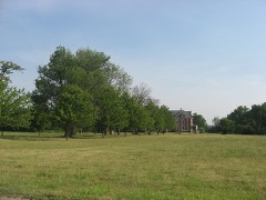 White County Asylumlisted 2010 · 0.6 miles away
Population over time
3 figuresNorway fell from 437 to 327 between 2000 and 2020. These are the recorded population figures Wikidata holds for this place, reached through the Geographic Names Information System number this page is keyed on rather than by name, so they belong to this place and not to another of the same name. Most are census counts, but not all are: an early figure may be a founding or settlement estimate, and an estimate published within five years of a census is left out. The change column is computed, and is left blank where more than 20 years separate a figure from the one before it, because a gap that long is not a change between two counts.
| Year | People | Change |
|---|---|---|
| 2000 | 437 | |
| 2010 | 386 | -51 (-12%) |
| 2020 | 327 | -59 (-15%) |
Topographic sheets covering this place
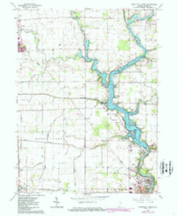
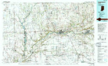
5 surveys from 9 printed sheetsMatched by testing this settlement's coordinate against the published boundary of every sheet in the United States Geological Survey's historical collection. Each opens the scanned sheet at the Survey.
- 1953 USGS Danville quadrangle1:250000, 3 printings
- 1955 USGS Danville quadrangle1:250000
- 1956 USGS Danville quadrangle1:250000
- 1962 USGS Monticello North quadrangle1:24000, 2 printings
- 1985 USGS Logansport quadrangle1:100000, 2 printings



Mines and quarries near this place
2 within 5 milesRegional context, not property-specific evidence. The federal mineral resources record lists 2 workings within 5 miles of Norway: 1 prospect, 1 past producer. None of them still produces. What was taken out: Stone, Crushed/Broken. Distance is straight-line from the map coordinates, so a quarry counted here may appear on a neighbouring settlement's page as well.
| Where | Site | Commodity | Status | Recorded |
|---|---|---|---|---|
| Keeport Quarry | Stone, Crushed/Broken | Prospect | ||
| Monon Crushed Stone Inc.Ls Quarry | Stone, Crushed/Broken | Past Producer |
Storms near this place
6 since 2007Regional context, not property-specific evidence. The National Weather Service names Norway in 6 storm reports between 2007 and 2023: 3 thunderstorm wind, 2 flash flood, 1 funnel cloud. No death or injury is recorded in these reports. Each account below is quoted exactly as the forecast office filed it, from the NOAA Storm Events Database, and each date opens the federal record of that event.
| When | Event | Place named | Harm | What the report says |
|---|---|---|---|---|
| January 2008 | Flash Flood | Norway | $2,000,000 | Snow melt,a partially frozen ground and rainfall ranging from four to seven inches across much of White county, resulted in high water levels behind Norway Dam, forcing the release of record flows through the dam, which at its peak exceeded 26,000 cubic feet per second (cfs) between 8 and 10 am EST on January 8th. A flood emergency was declared around 8 am EST by dam and White County officials and numerous residents south of the dam, including portions of the city of Monticello, were placed under mandatory evactuation orders. Over 100 families were assisted or rescued as flood waters rapidly rose. The Norway Campground, located near the dam, had approximately 70 seasonal occupied trailers that were evacuated. Many of the trailers were destroyed either by the water or being thrown against trees. Numerous roads and a few bridges over the Tippecanoe River either had caution advised or even closed briefly during the peak flow times. Discharge rates were able to be trimmed back below 22,000 cfs during the late morning hours of January 9th, which allowed the threat for the need of additonal evacuations and closures to be reduced. Despite the lower flows, many residents remained evacuated into January 12th. No exact damage figures were available, but are estimated at upwards of 2 million dollars. |
| March 2009 | Flash Flood | Norway | $1,000,000 | Heavy rainfall which occurred across the Tippecanoe basin resulted in the flood gates being opened at the Norway dam. Peak flows through the gates reached around 26,000 cubic feet per second (cfs), resulting in widespread flooding downstream into the eastern part of Monticello. Evacuations occurred in many areas with numerous residences and businesses suffering water damage. Damage has been estimated to be at least 1 million dollars. There were no reports of injuries or fatalities related to the flooding. |
| May 2007 | Thunderstorm Wind | Norway | $50,000 | Numerous trees, tree limbs, power lines and poles were blown down across the county. At least one gustnado was sighted by a county sheriff deputy. It touched down in an open field and then lifted without damage. Two large trees fell onto a residence on Ireland St in Monticello causing some roof damage, but luckily no injuries to those home at the time eating supper. |
| March 2023 | Thunderstorm Wind | Norway | $5,000 | A few small tree limbs down and a few shingles blown off a roof. |
| June 2015 | Funnel Cloud | Norway | - | Funnel cloud sighted near 250N and SR-39. |
| June 2013 | Thunderstorm Wind | Norway | - | Emergency management officials reported several tree limbs down. |
Nearest settlements
The eight closest, with where each one stands in the county. Distances are straight-line, computed from the Geographic Names Information System coordinates.
| Map | Place | Distance | Sheets |
|---|---|---|---|
| Indiana Beach | 1.0 miles | 9 | |
| East Monticello | 2.2 miles | 9 | |
| Monticello | 2.3 miles | 9 | |
| Guernsey | 3.2 miles | 9 | |
| Sitka | 3.5 miles | 9 | |
| Golden Hill | 4.7 miles | 9 | |
| Cedar Point | 4.8 miles | 9 | |
| Idaville | 6.0 miles | 9 |
Elsewhere
Matched on this settlement's Geographic Names Information System number rather than its name, so it cannot be a different place of the same name in another state.
| Wikipedia article on Norway | An encyclopaedic summary. Its text is share-alike, so it is linked here rather than copied. |
| Wikidata item Q2118814 | The structured record the population and elevation above come from. Public domain (CC0). |
Provenance
This settlement is recorded in the Geographic Names Information System as feature 440358. The sheet list is computed by point-in-boundary test against the United States Geological Survey's historical topographic inventory. Both are works of the United States government and carry no copyright under 17 U.S.C. 105.
Mines and quarries. USGS Mineral Resources Data System (MRDS) https://mrdata.usgs.gov/mrds/ A work of the United States government, no copyright under 17 U.S.C. 105.
Storms. NOAA National Centers for Environmental Information, Storm Events Database https://www.ncei.noaa.gov/stormevents/ A work of the United States government, no copyright under 17 U.S.C. 105. Narratives are quoted verbatim from the National Weather Service report and are not edited or summarised.