 Block
Ober, Indiana
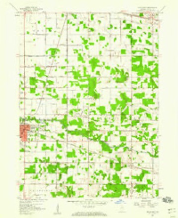
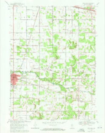
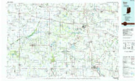
11 topographic sheets cover this place, the earliest surveyed in 1953 and the latest in 1984. It stands in Washington Township. It lies in ZIP code area 46534. The Survey maps it on the Knox East quadrangle.
Topographic sheets covering this place
5 surveys from 11 printed sheetsMatched by testing this settlement's coordinate against the published boundary of every sheet in the United States Geological Survey's historical collection. Each opens the scanned sheet at the Survey.
- 1953 USGS Chicago quadrangle1:250000, 5 printings
- 1957 USGS Chicago quadrangle1:250000
- 1957 USGS Knox East quadrangle1:24000
- 1969 USGS Knox East quadrangle1:24000, 2 printings
- 1984 USGS Knox quadrangle1:100000, 2 printings


What happened here
An account from the chapter on Washington township. The inset identifies its exact source book and publication year.
In The World War 37
Already our boys were leaving for the camps to begin rigid training for the battling line. Service flags with their plue stars on white backgrounds, each star representing one boy in service, surrounded with a border of red hung in nearly every window. 'The stars soon began to change from blue to silver designating that one boy was wounded, and then, alas, the gold stars appeared for those who "went west.' Starke County's heart followed the boys as they entrained for camp.
In the county-history sources
7,082 words on this townshipThe World War History of Starke County, Indiana, published 1928 names this settlement in its chapter on Washington Township. These are the passages that mention it, exactly as the scans read.
INTRODUCTION (a) Economic Survey of Starke County Herbert R. Koffel (b) Pre-War Patriotic Survey Claude S. Steele COUNTY COUNCIL OF DEFENSE The Editor THE Boys WHO PASSED ON THE GOLD STAR MOTHERS HOME VOLUNTEER WORKERS The Editor (a) The Attorneys (b) The Editors of the County Papers (c) The Knox Band (d) Women in War Work (e) Women Registration....Mrs. Mahlon Hartzler (f) Camp Fire Girls Hazel Hatch Steele (g) Home Guard...............-.+ Henry F. Schricker ARMY AND NAvy RECORDS The Editor TOWNSHIP RECORDS (a) North Bend Twp... Warren S. Terry (b) Wayne Twp. (N. Judson) Dr. G. B. Corbitt (c) Railroad Twp. (San Pierre ) Otto Dolezal (d) Oregon Twp. (Grovertown) Mrs. Eudora Reinhardt (e) Washington Twp. (Ober)........-: ee Mrs. A. C. Bolen (No. Rep.) Patifornia oe Mrs. Cora Conklin (No R.) Davis Twp. (Hamlet) Mrs. H. W. Childs Jackson Twp Francis Palmer (No Rep.) Center Twp Editorial Board
Passage source: The World War History of Starke County, Indiana, published 1928.
North Bend Township, No. 1........... At the Kaiserhoff Hotel North Bend Township, No. 2.......... At the Ora School House Washington Township, No. 1. At the Ober School House Washington Township, No. 2... At Cottonwood School House Oregon Township, No. 1....At the Grovertown School House Oregon Township, No. 2 At Dr. John R. Abner's Office California Township, No. 1.... ...... At Center School House California Township, No. 2..... At Maple Grave School House Center Township, No. 1....... At Harry E. Johnson's Residence Center Township, No. 2 ..A\t basement of Christian Church Center Township, No. 3........... At Johnson's Insurance Office
Passage source: The World War History of Starke County, Indiana, published 1928.
Washington Twp. Prec., No. 1........ At the Ober School House Washington Twp. Prec., No. 2..At Cottonwood School House Oregon Twp. Prec., No. 1....At the Grovertown School House Oregon Twp. Prec., No. 2........ At Dr. John R. Abner's Office California Twp. Prec., No. 1...........-. At Center School House California Twp. Prec., No. 2....At Maple Grave School House Center Twp. Prec., No. 1......At Harry E. Johnson's Residence Center Twp. Prec., No. 2......At basement of Christian Church
Passage source: The World War History of Starke County, Indiana, published 1928.
Machine-read from a century-old scan, so expect the errors a machine makes: misspelled names, dropped words, stray characters.
Read the whole chapter on Washington Township - it names this place 1 more 1 time.
Mines and quarries near this place
3 within 5 milesRegional context, not property-specific evidence. The federal mineral resources record lists 3 workings within 5 miles of Ober: 2 past producers, 1 producer. 1 still produces. What was taken out: Sand and Gravel, Construction, Limestone, General. Distance is straight-line from the map coordinates, so a quarry counted here may appear on a neighbouring settlement's page as well.
| Where | Site | Commodity | Status | Recorded |
|---|---|---|---|---|
| Allen Weaver Marl Pit | Limestone, General | Past Producer | ||
| Bradley Pit | Sand and Gravel, Construction | Past Producer | ||
| Starke County Pit | Sand and Gravel, Construction | Producer |
Storms near this place
4 since 2011Regional context, not property-specific evidence. The National Weather Service names Ober in 4 storm reports between 2011 and 2025: 3 thunderstorm wind, 1 hail. No death or injury is recorded in these reports. Each account below is quoted exactly as the forecast office filed it, from the NOAA Storm Events Database, and each date opens the federal record of that event.
| When | Event | Place named | Harm | What the report says |
|---|---|---|---|---|
| September 2025 | Thunderstorm Wind | Ober | - | Local media relayed a report of a few large trees and tree limbs snapped. A power line was down in the area as well. |
| August 2021 | Thunderstorm Wind | Ober | - | Tree down. |
| April 2011 | Thunderstorm Wind | Ober | - | Law enforcement officials reported a large tree down on State Route 23 and County Road East 150 South. |
| August 2012 | Hail | Ober | - | no account filed |
Nearest settlements
The eight closest, with where each one stands in the county. Distances are straight-line, computed from the Geographic Names Information System coordinates.
| Map | Place | Distance | Sheets |
|---|---|---|---|
| Oak Grove | 2.3 miles | 10 | |
| Winona | 3.4 miles | 10 | |
| Knox | 5.6 miles | 11 | |
| Bass Lake | 6.0 miles | 10 | |
| Hartz Lake | 6.8 miles | 11 | |
| Ora | 6.9 miles | 10 | |
| Bass Station | 7.2 miles | 10 | |
| Grovertown | 7.3 miles | 11 |
Provenance
This settlement is recorded in the Geographic Names Information System as feature 440491. The sheet list is computed by point-in-boundary test against the United States Geological Survey's historical topographic inventory. Both are works of the United States government and carry no copyright under 17 U.S.C. 105.
Mines and quarries. USGS Mineral Resources Data System (MRDS) https://mrdata.usgs.gov/mrds/ A work of the United States government, no copyright under 17 U.S.C. 105.
Storms. NOAA National Centers for Environmental Information, Storm Events Database https://www.ncei.noaa.gov/stormevents/ A work of the United States government, no copyright under 17 U.S.C. 105. Narratives are quoted verbatim from the National Weather Service report and are not edited or summarised.